10 trails found in Pennsylvania
Which "trail 29" are you looking for?
We found 10 off-road trails in Pennsylvania matching your search. Pick the one you're looking for below.
Trail 29
Trail 29 is an ungraded, narrow dirt trail. It is part of the PA DCNR Bloody Skillet ATV Trail System located within Sproul State Forest. The trail system is open for use year-round except for being closed for two months during the spring fire season and in the fall for hunting season. Please call t...
Learn more about Trail 29

Trail 29
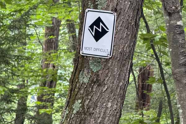
Trail 29 is a Most Difficult (Black) trail that earns its rating through a demanding combination of hills, deep mud, loose rock, heavy ruts, and tight tree-lined sections. Trail 29 serves as a route that brings riders into and then back out of the Playground area, making it both a challenge trail an...
Learn more about Trail 29
S 29 Trail
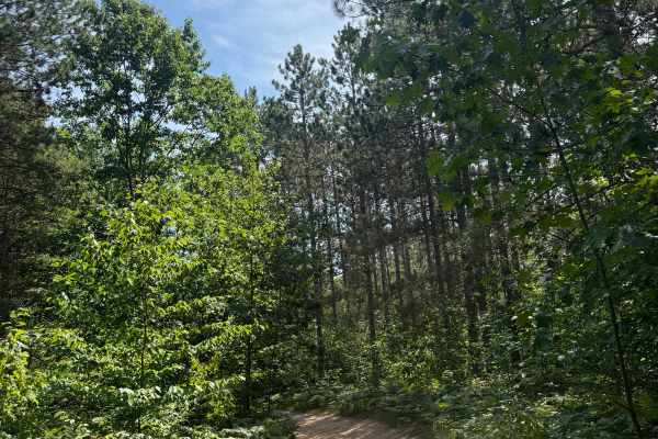
S 29 Trail is a laid-back and scenic bidirectional trail within the Cadillac Forest Management Unit. Located between South 29 Road and 28 3/4 Road, this trail is easily accessible. This trail surface consists of a mostly dirt and sand combination with a little bit of gravel mixed throughout. This ro...
Learn more about S 29 Trail
Trail 29
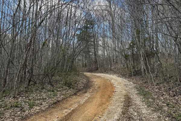
Trail 29 is a short gravel road trail that will allow the connection of Trail 15, 31, and Billey Fork Road. Additionally, Red Hollow Road is off of this trail as well, which will lead into the park as Billey Fork travels all along this southwestern side of the park.
Learn more about Trail 29
Trail 29
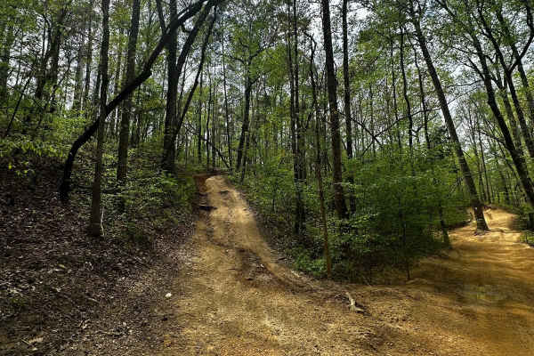
Trail 29 is not marked. It goes uphill parallel to Trail 4 and has some rough dips and uphill climbs. It is a short trail, an alternative route from Mammoth Hill, and it takes you up to the overlook on Trail 4. It's really narrow in some areas and has a steep climb at the end.
Learn more about Trail 29
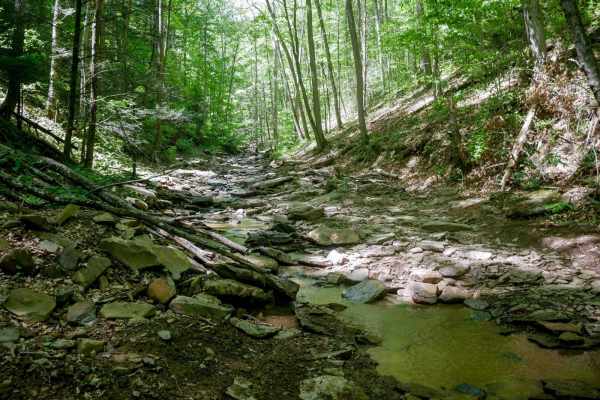
Trail 29
Trail 29 is designated as Most Difficult by the park, climbing up the Cooper Branch in a rocky creek bed. Riders travel directly in the stream much of the time, occasionally shifting to narrow dirt paths along the bank before crossing back through the water. The surface is full of smooth, flat river...
Learn more about Trail 29
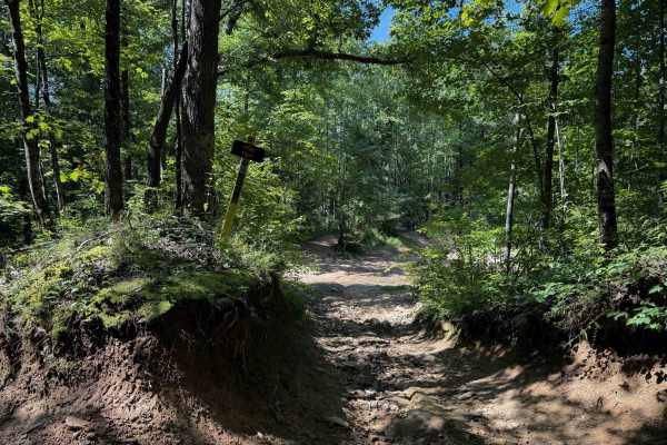
Pond Trail 29
Pond Trail, within the Sundquist Unit of the North Cumberland Off Highway Vehicle Riding Area, near LaFollette, Tennessee, is 2 miles long, meandering up and over small rolling hills on a muddy quad track. The east entrance to the trail is off of Fred’s Way Trail and has a narrow entrance between ta...
Learn more about Pond Trail 29

ATV Trail 29
This ATV trail runs parallel to trail 115 for a short section. The section is a nice wooded trail that works through a smooth flat area. To find this trail, it is off trail 131 or the Ho Bot Highway ATV trail. It is a safe and easy trail for the novice rider.
Learn more about ATV Trail 29
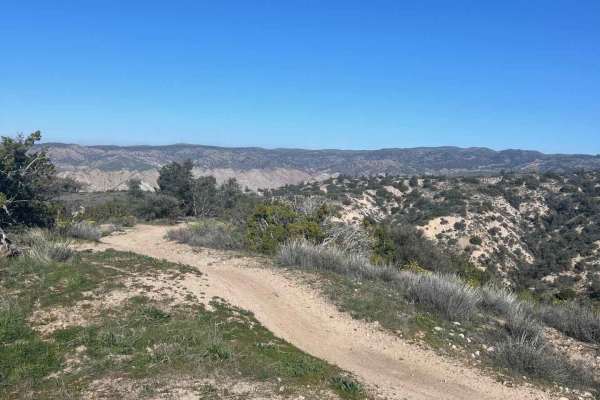
Trail 29
Fast-flowing double track, single track, with ridgeline views, canyon berms, and a great intermediate trail to explore what Ballinger Canyon OHV has to offer. This route starts with a single track out of the staging area, down to double track sand washes, and ends with fast-flowing ridgeline moto-on...
Learn more about Trail 29
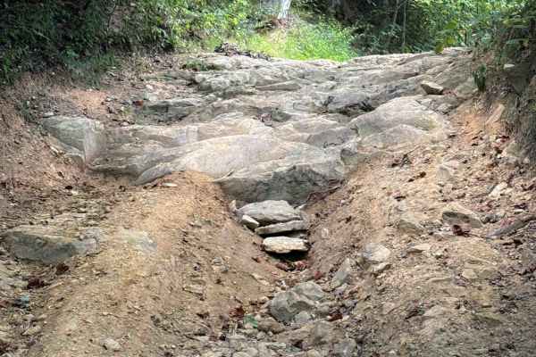
Signal Mountain Trail 29
Signal Mountain Trail is a moderate OHV trail through the North Cumberland OHV Area that spurs off of Round Mountain Trail. This trail is mostly a gradual descent from east to west on a smooth dirt track covered in a light layer of loose rocks. It rides past scenic mossy rock outcroppings in a dense...
Learn more about Signal Mountain Trail 29