J75
Total Miles
0.2
Technical Rating
Best Time
Fall, Spring, Summer, Winter
Trail Type
High-Clearance 4x4 Trail
Accessible By
Trail Overview
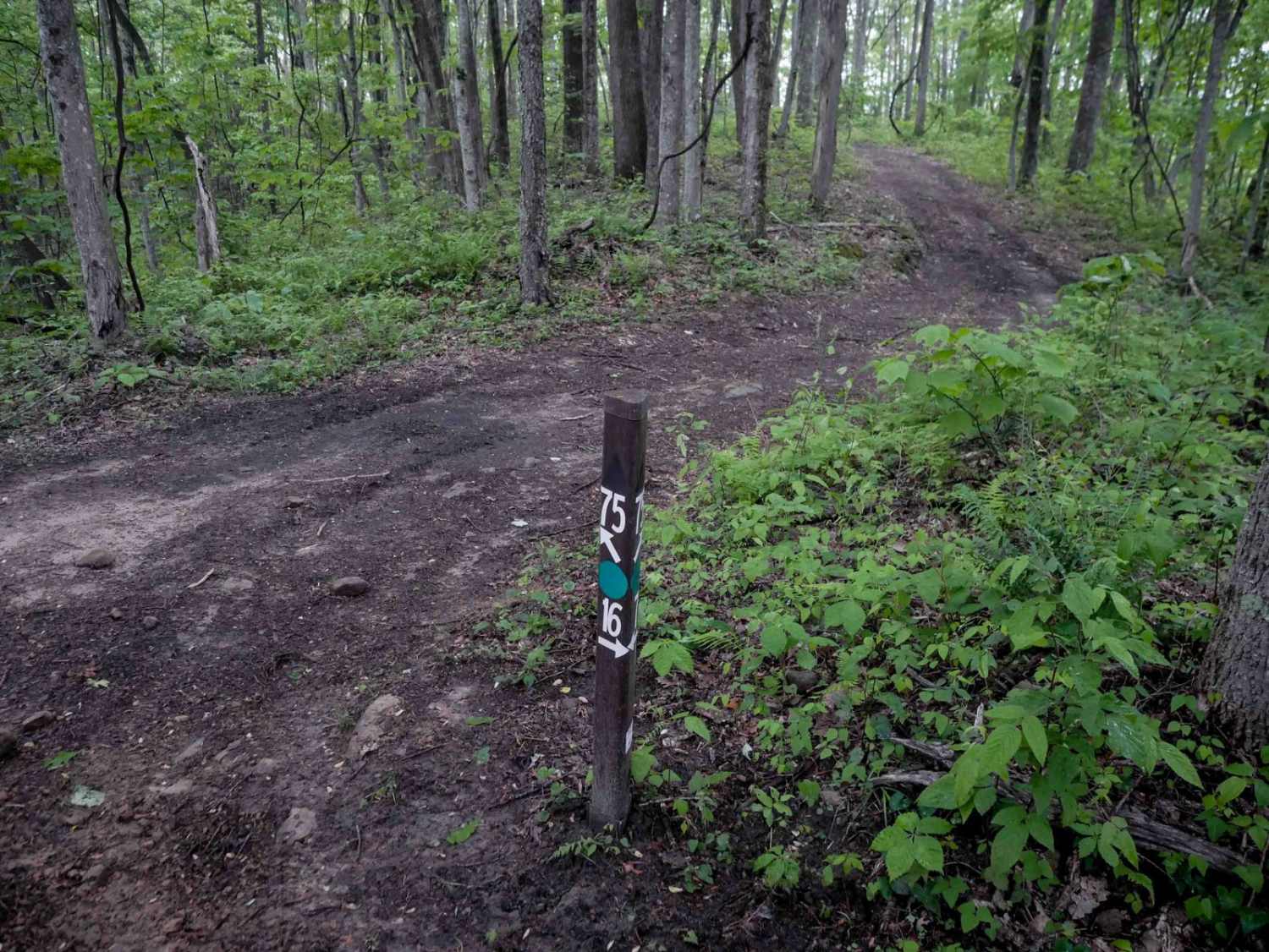
J75 is a short 360-yard connector linking J16 to J36, descending steeply on the south end through scenic, lush forest. The narrow path winds between trees and features moderate ruts, loose rocks, and natural debris such as sticks. While still manageable, the trail is slightly more challenging than nearby routes, offering a moderately easy experience overall.
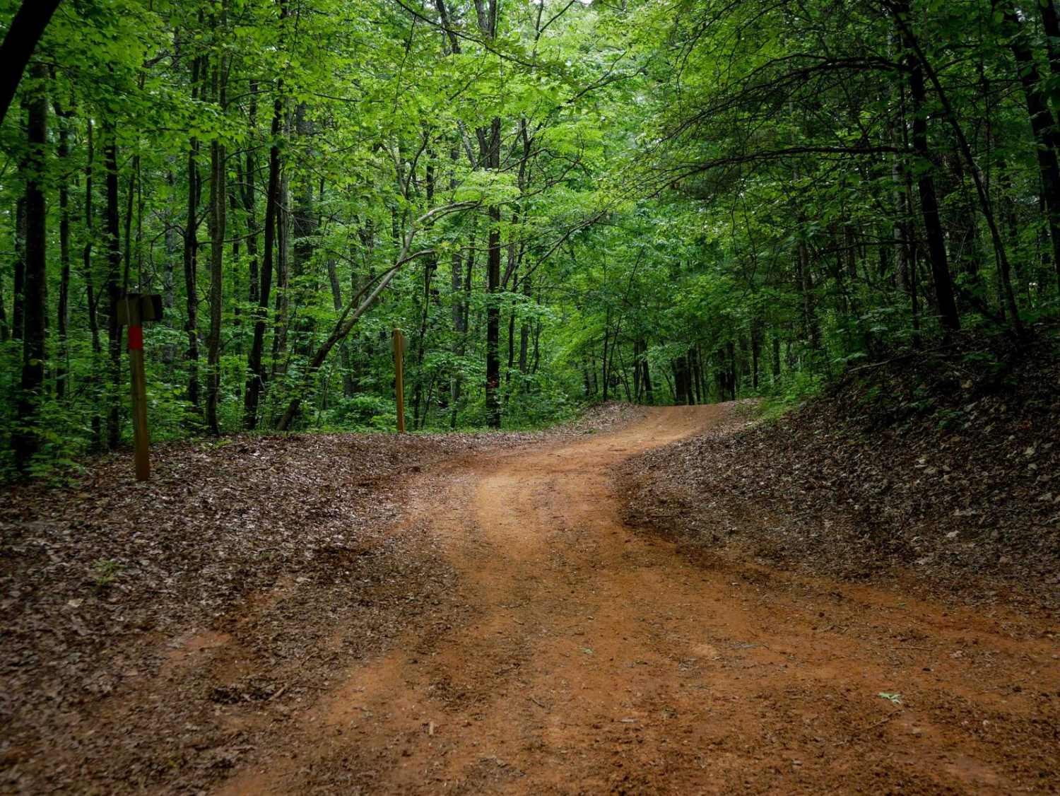
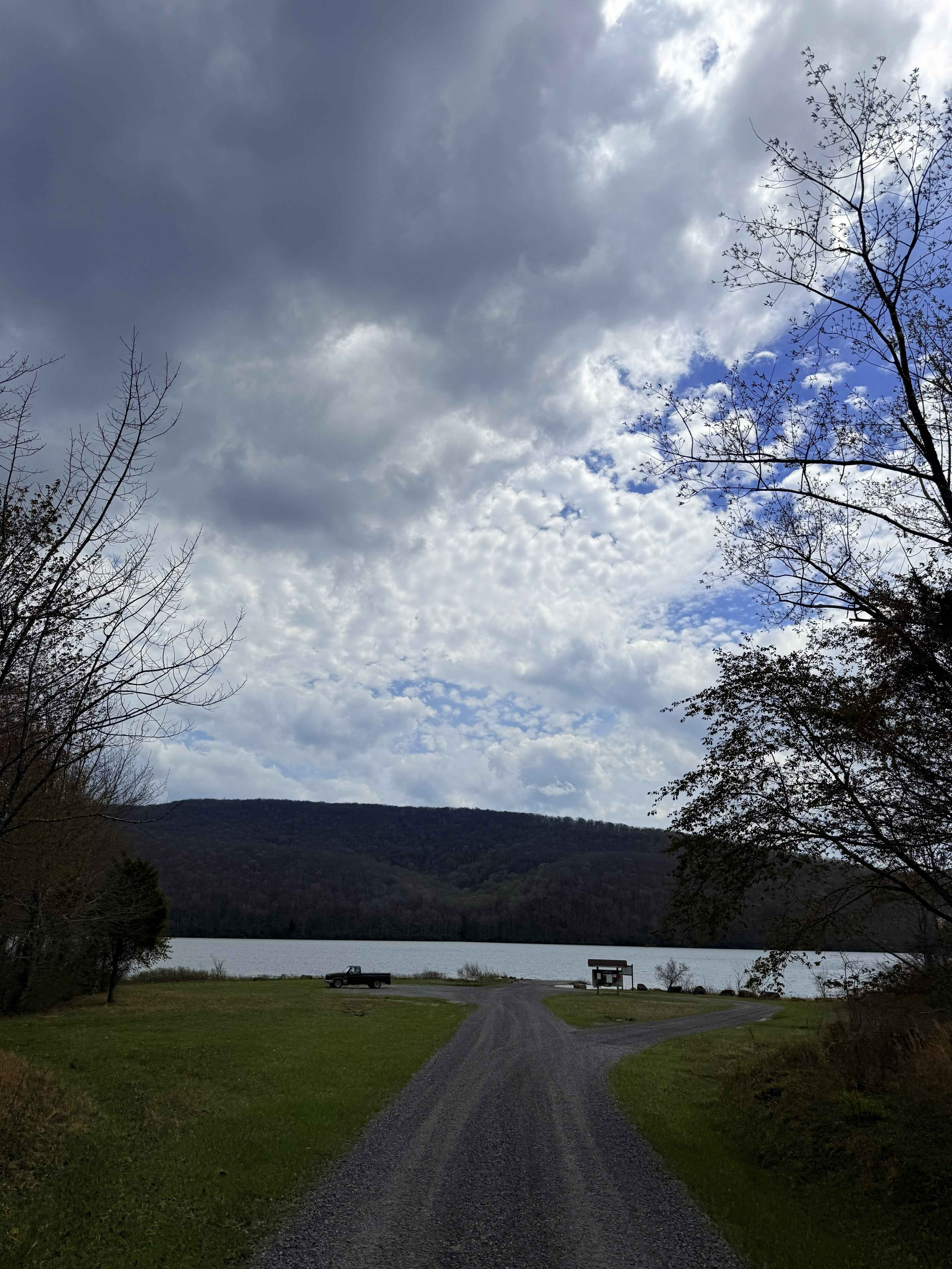
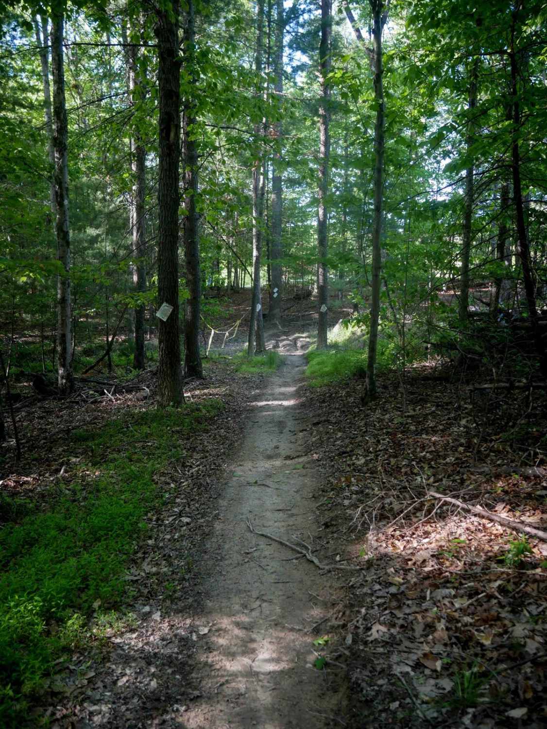
Photos of J75

Difficulty
This is a moderate trail due to a steeper, rutted descent. This is considered Most Difficult by Spearhead's rating system.
Status Reports
J75 can be accessed by the following ride types:
- High-Clearance 4x4
- SxS (60")
- ATV (50")
- Dirt Bike
J75 Map
Popular Trails
Rattlesnake
Laurel Bed Lake
Single Track 3

The onX Offroad Difference
onX Offroad combines trail photos, descriptions, difficulty ratings, width restrictions, seasonality, and more in a user-friendly interface. Available on all devices, with offline access and full compatibility with CarPlay and Android Auto. Discover what you’re missing today!