J41
Total Miles
0.6
Technical Rating
Best Time
Fall, Spring, Summer, Winter
Trail Type
High-Clearance 4x4 Trail
Accessible By
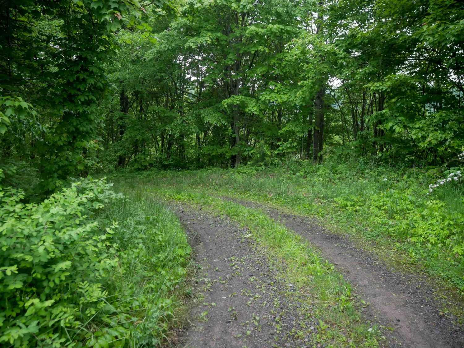
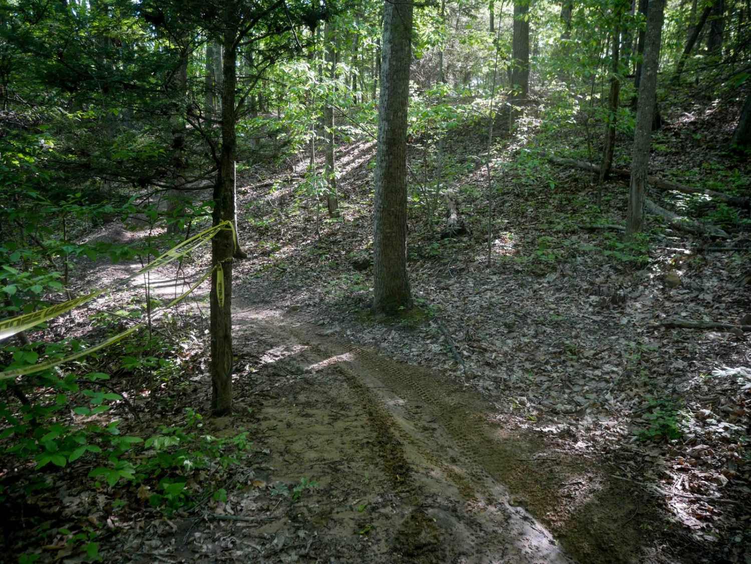
Trail Overview
J41 is a 0.6-mile connector between J2 and J3, following a shelf cut into the hillside with a gradual grade. The trail surface is gravelly with minor loose rock and some overgrowth in the center of the track. It winds along the hillside's contour through a mix of open meadows and dense forest, passing under powerlines. The route is easy overall, with no significant obstacles.
Photos of J41

Difficulty
This is an easy route, ideal for all skill levels. This is considered Moderate by Spearhead's rating system.
Status Reports
J41 can be accessed by the following ride types:
- High-Clearance 4x4
- SxS (60")
- ATV (50")
- Dirt Bike
J41 Map
Popular Trails


Single Track 2
The onX Offroad Difference
onX Offroad combines trail photos, descriptions, difficulty ratings, width restrictions, seasonality, and more in a user-friendly interface. Available on all devices, with offline access and full compatibility with CarPlay and Android Auto. Discover what you’re missing today!