J36
Total Miles
0.5
Technical Rating
Best Time
Fall, Spring, Summer, Winter
Trail Type
High-Clearance 4x4 Trail
Accessible By
Trail Overview
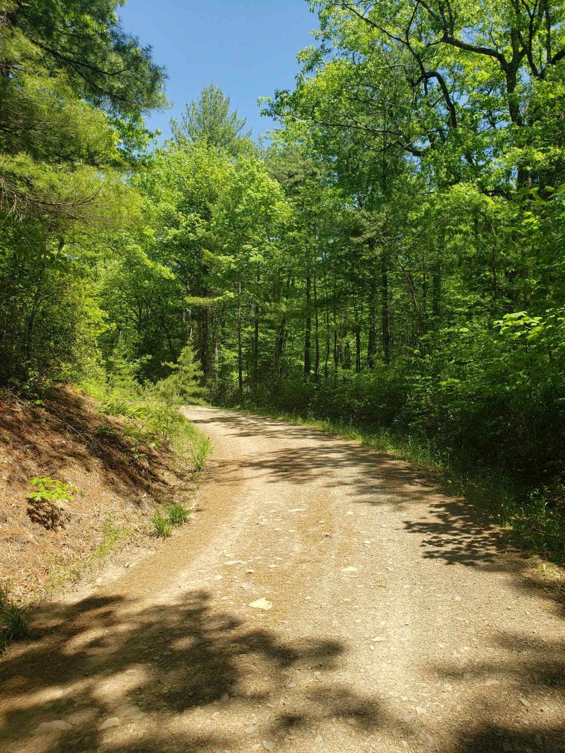
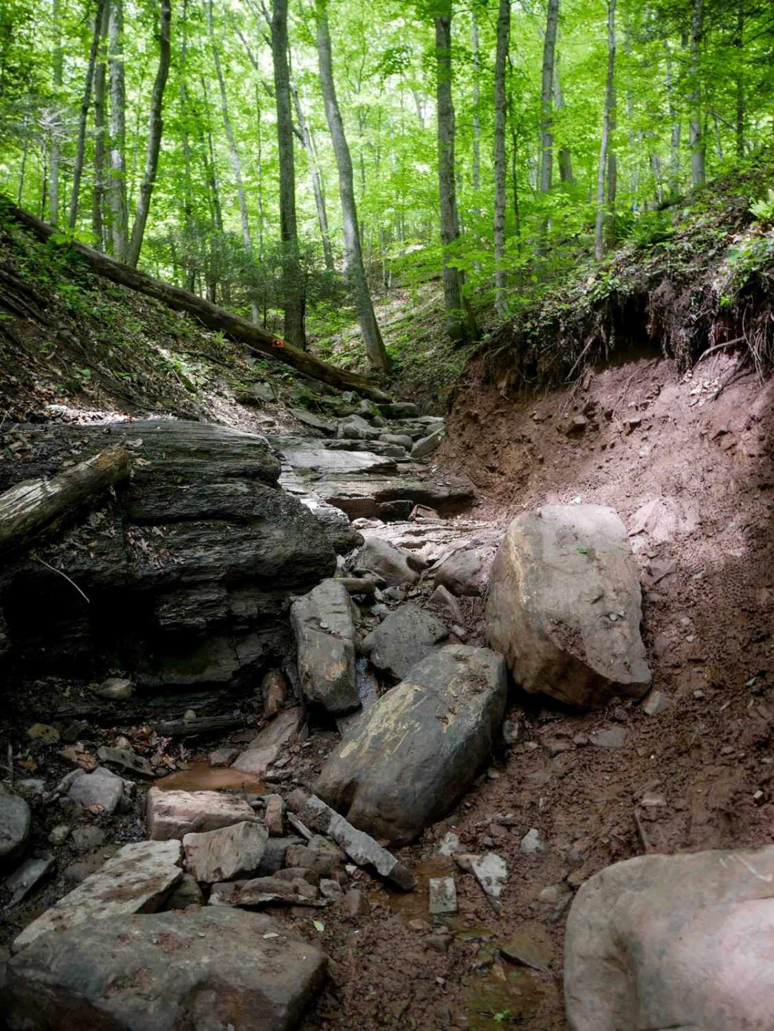
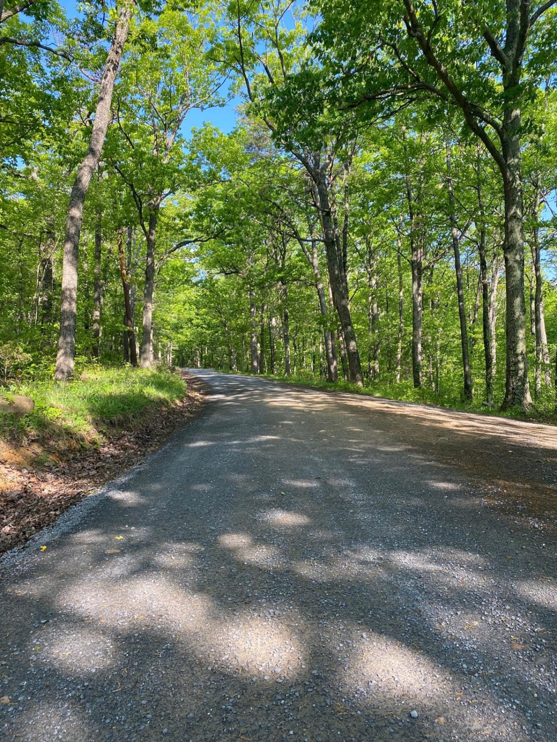
J36 begins on the west end as a very easy, loose-rock path along a power line route before entering the woods, where the terrain becomes more rugged. The trail transitions to an uneven, shelf-like path cut into the hillside with a rutted, steeper climb on the east end leading up to J7. While the west section is smooth and simple, the eastern climb adds moderate difficulty.
Photos of J36


Difficulty
This is an overall easy route despite a steep climb. This is considered Moderate by Spearhead's rating system.
Status Reports
J36 can be accessed by the following ride types:
- High-Clearance 4x4
- SxS (60")
- ATV (50")
- Dirt Bike
J36 Map
Popular Trails
Leading Ridge
White Whale
Edinburg Gap
The onX Offroad Difference
onX Offroad combines trail photos, descriptions, difficulty ratings, width restrictions, seasonality, and more in a user-friendly interface. Available on all devices, with offline access and full compatibility with CarPlay and Android Auto. Discover what you’re missing today!