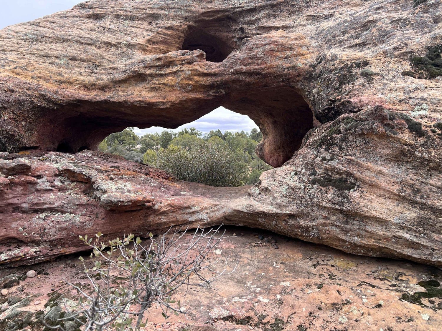
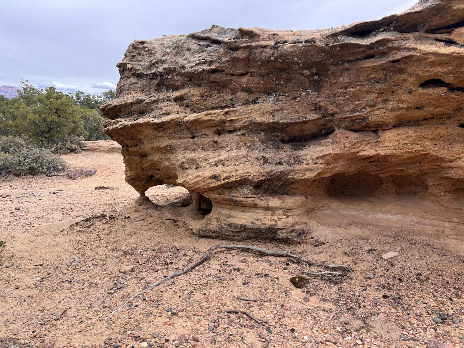
Windmill Arch
Total Miles
1.5
Technical Rating
Best Time
Spring, Summer, Fall, Winter
Trail Type
Full-Width Road
Accessible By
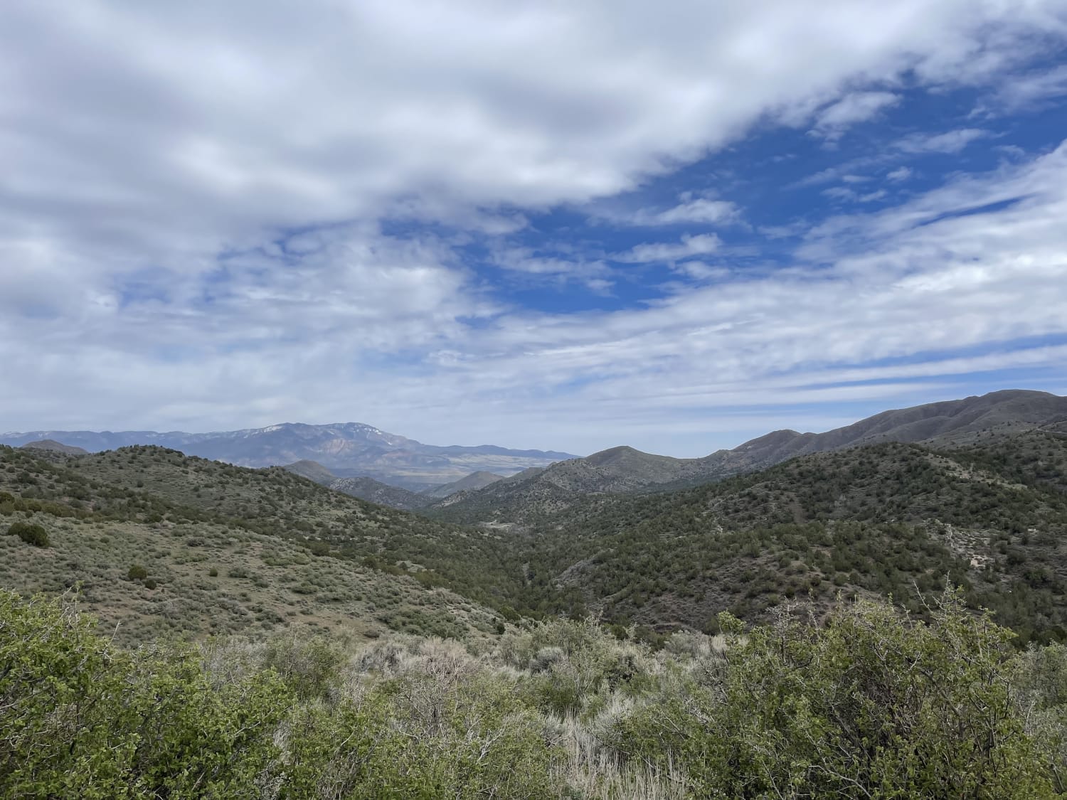
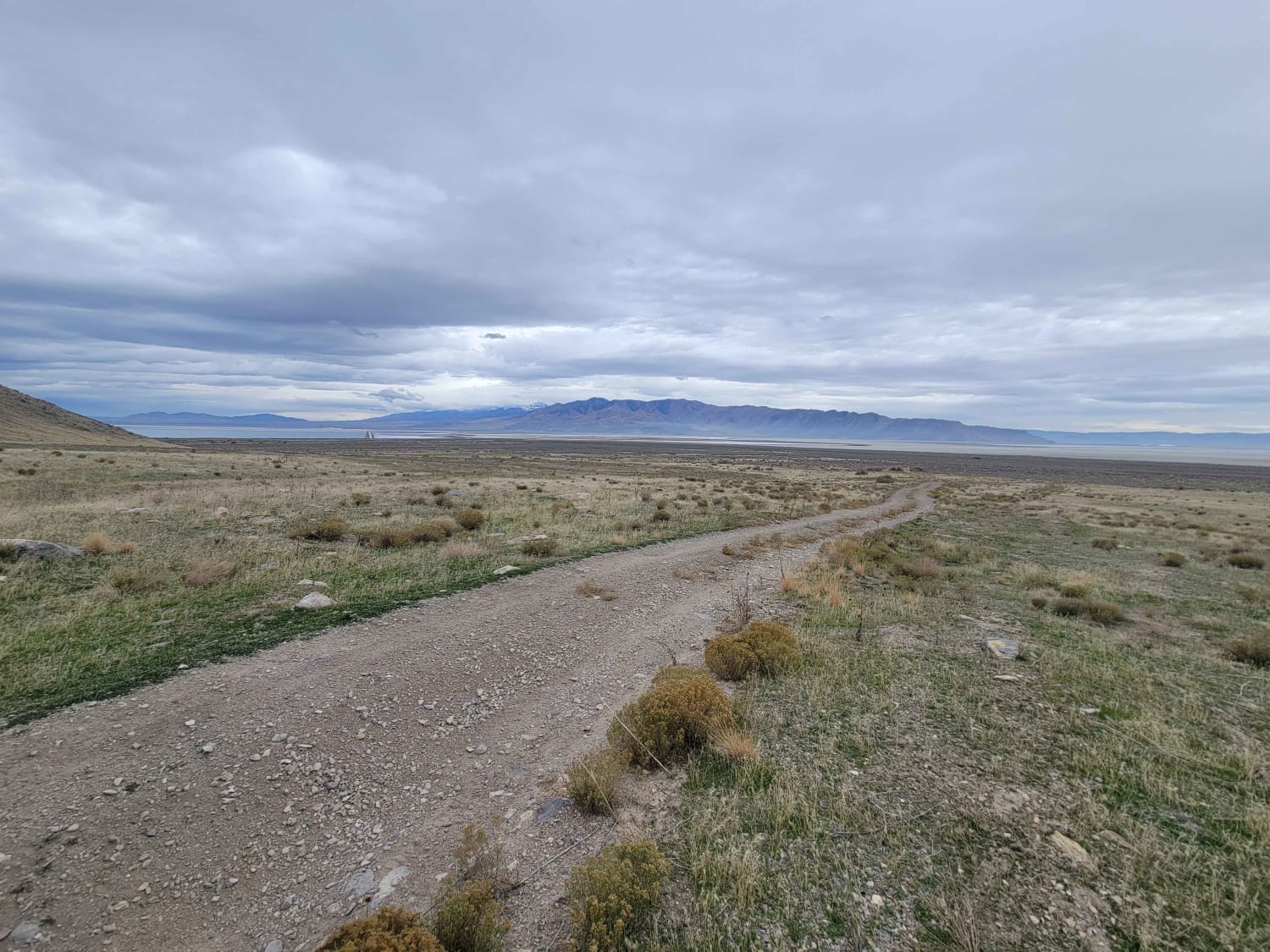
Trail Overview
This short trail is a local secret with one of the most interesting arches to see. What initially appears to be a single arch is actually three separate and distinct arches in the same feature. There is also an additional hole through the rock that is a great scavenger hunt. Hint: look low. The trail is relatively easy with all of the technical portions immediately near the arch. In addition, there is a concrete flood control dam nearby that in times of heavy precipitation can fill with water and overflow, adding a water feature to the trail. If you're looking for a shortcut to the other trails on the mesa, as well as a great adventure, this trail is for you.
Photos of Windmill Arch
Difficulty
The trail is relatively easy and the arch can be accessed from either end by most trail-worthy vehicles. Near the arch, there is a steeper and narrow area that can be a challenge for lower-clearance or limited-capability vehicles.
Windmill Arch can be accessed by the following ride types:
- High-Clearance 4x4
- SUV
- SxS (60")
- ATV (50")
- Dirt Bike
Windmill Arch Map
Popular Trails
East Fork of Beaver Dam Wash
Exiting Manti Canyon
Tabby's Canyon
Pahvant Butte Loop
The onX Offroad Difference
onX Offroad combines trail photos, descriptions, difficulty ratings, width restrictions, seasonality, and more in a user-friendly interface. Available on all devices, with offline access and full compatibility with CarPlay and Android Auto. Discover what you’re missing today!