Waterline Road - BLM6850
Total Miles
6.1
Technical Rating
Best Time
Spring, Summer, Fall
Trail Type
High-Clearance 4x4 Trail
Accessible By
Trail Overview
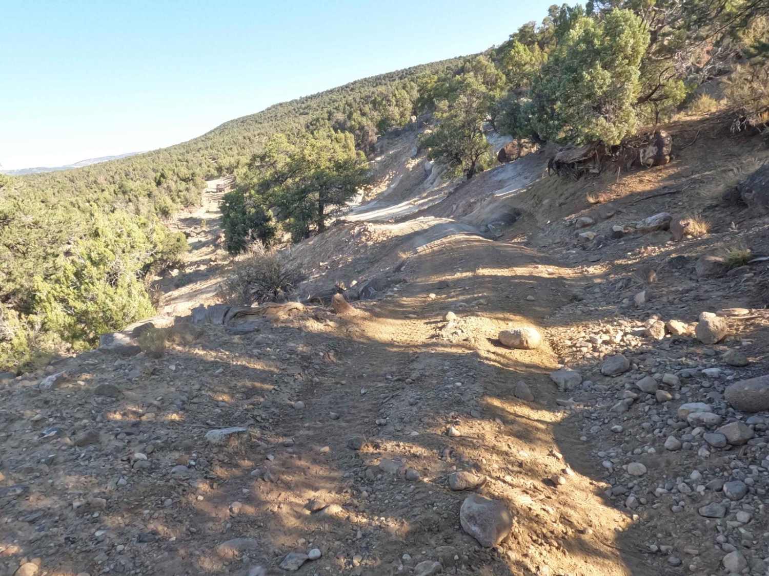
This road starts just north of the Escalante Petrified Forest State Park and runs north, to an intersection with the Hell's Backbone Loop Road. That road is a heavily traveled road for visitors wanting to get up to the Hell's Backbone area. For that reason, this road is a nice alternative that does provide some challenges for the off-roader but nothing a well-equipped vehicle should be able to handle. This is a four-wheel drive trail and if there has been recent moisture you may want to stay with the main road as areas do experience washes and mud. There a some moderate climbs and washes, when ridden, that you will need to traverse. This is maintained periodically but that timeframe has been increasing lately so the trail does get rougher over time. On the north end, you will pass through a stream that does experience flooding during heavy rain periods.
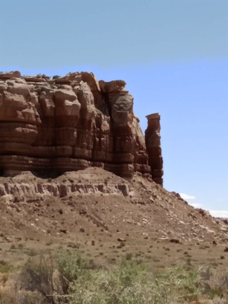
Photos of Waterline Road - BLM6850

Difficulty
The trail includes some off-camber situations when climbing and descending over the route. There are also some tight turns and sections with some moderately sized rocks to negotiate. Most normally equipped off-road vehicles should have no difficulty with this trail. You will need 4WD and higher clearance. On the north end, there are some narrow areas with sharp turns to negotiate.
Status Reports
Waterline Road - BLM6850 can be accessed by the following ride types:
- High-Clearance 4x4
- SxS (60")
- ATV (50")
- Dirt Bike
Waterline Road - BLM6850 Map
Popular Trails

Black Jump Road - BLM12020
Butler Wash Road
Cascade Falls Pink Cliff BLM 30054

Heber Mountain Spur 1 - FS 70055
The onX Offroad Difference
onX Offroad combines trail photos, descriptions, difficulty ratings, width restrictions, seasonality, and more in a user-friendly interface. Available on all devices, with offline access and full compatibility with CarPlay and Android Auto. Discover what you’re missing today!