Waterline Connector - BLM10005
Total Miles
2.7
Technical Rating
Best Time
Spring, Summer, Fall
Trail Type
High-Clearance 4x4 Trail
Accessible By
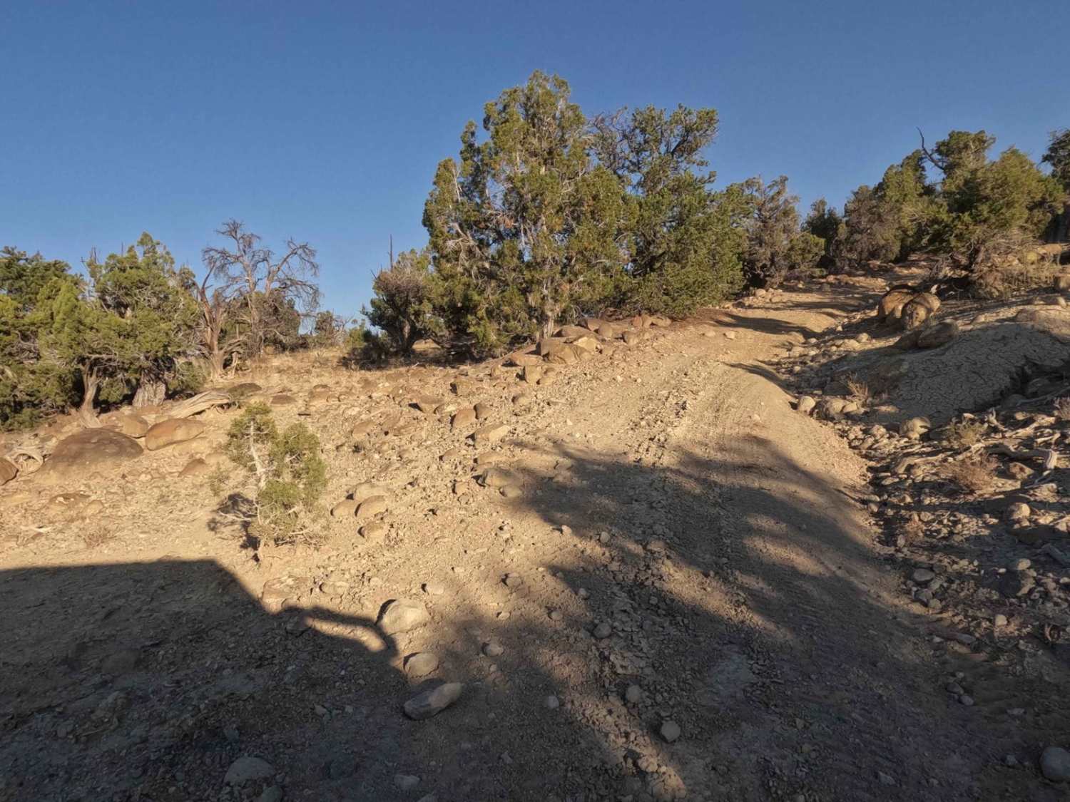
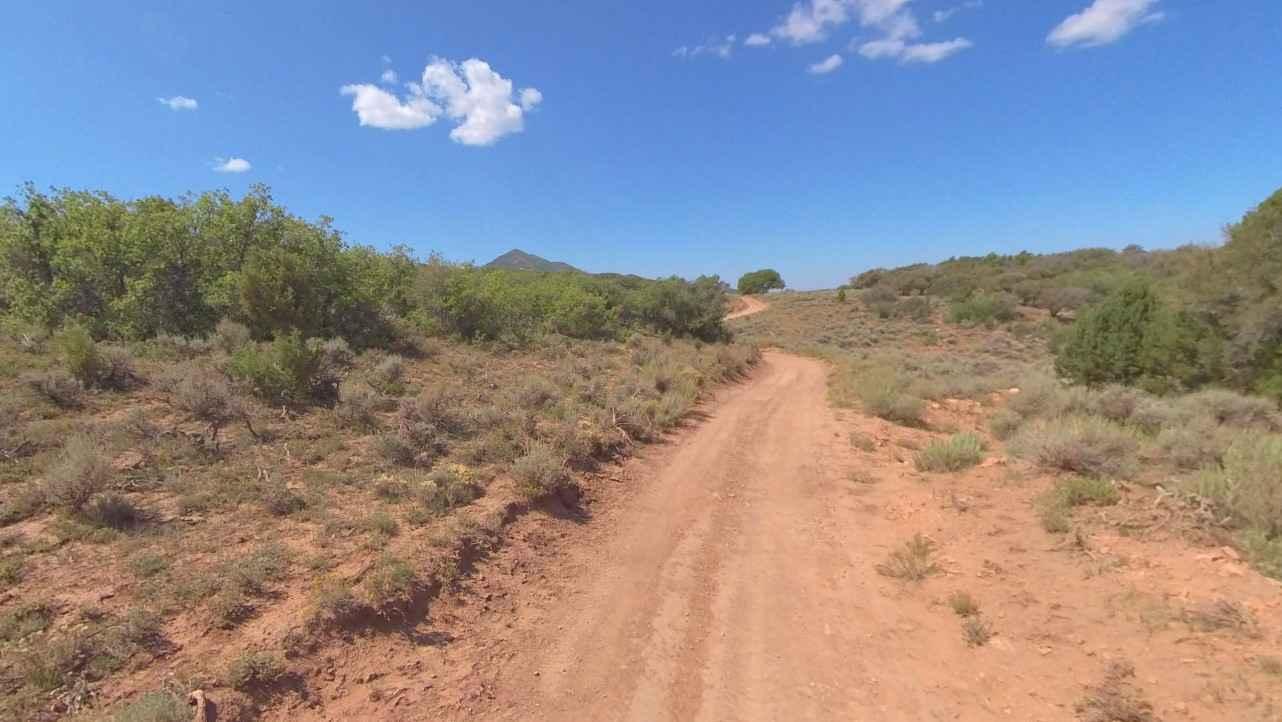
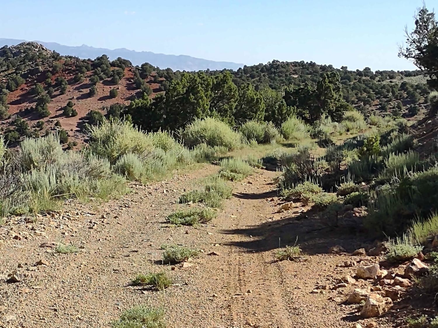
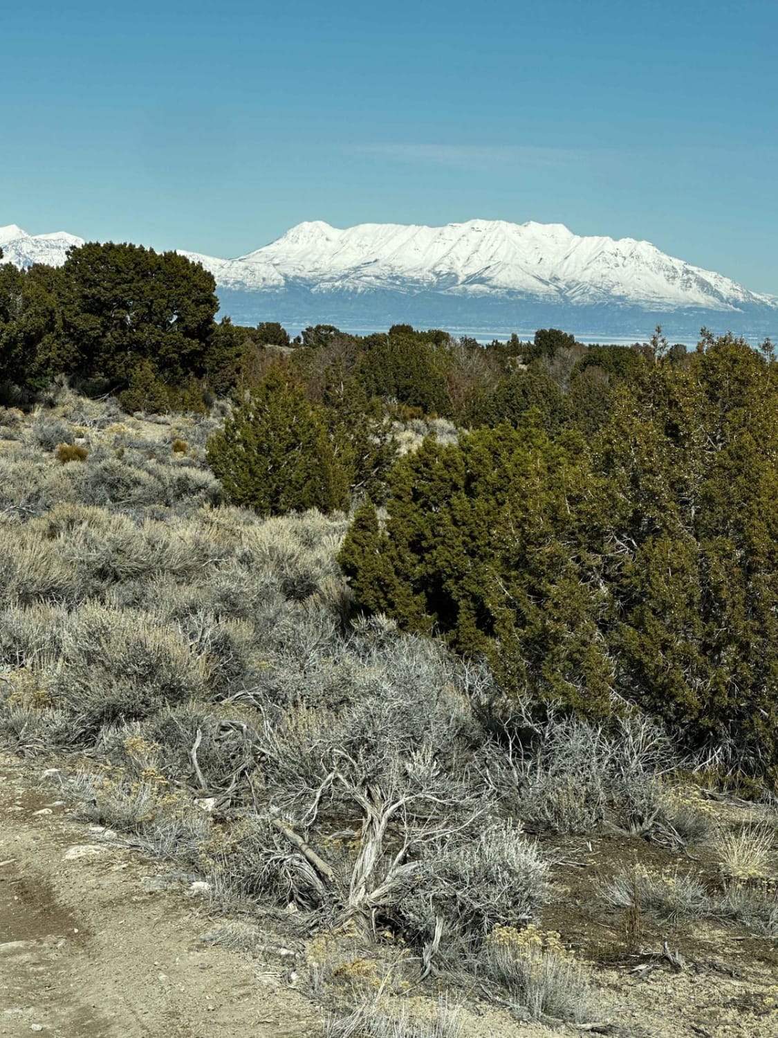
Trail Overview
This short, fun trail gets you off a main road and allows you to explore the area north of Escalante. It has some challenges, but nothing a moderately skilled driver should be able to handle. There are some moderately steep climbs and rocks to contend with. The first of which you will encounter as you leave the Hells Backbone Loop road. If you are fine with that climb the rest of the trail should not be an issue. The trail takes you through the pines and has some great views to the south and west as you traverse the route. At the west end, you can turn north on Waterline Road and reconnect with Hell's Backbone Loop Road a few miles to the north or you can turn south and return to Escalante.
Photos of Waterline Connector - BLM10005

Difficulty
This is a relatively rocky trail with some moderately steep climbs and some washed-out areas to navigate. The trail width is fine for most off-road vehicles, however, wider vehicles may enjoy some new pin stripping from the brush and pines. You will encounter rocks up to the size of basketballs. Some of the climbs are off-camber to add a little excitement.
Status Reports
Waterline Connector - BLM10005 can be accessed by the following ride types:
- High-Clearance 4x4
- SxS (60")
- ATV (50")
- Dirt Bike
Waterline Connector - BLM10005 Map
Popular Trails
County Road 1936

Little Moab-Slant Pass
The onX Offroad Difference
onX Offroad combines trail photos, descriptions, difficulty ratings, width restrictions, seasonality, and more in a user-friendly interface. Available on all devices, with offline access and full compatibility with CarPlay and Android Auto. Discover what you’re missing today!