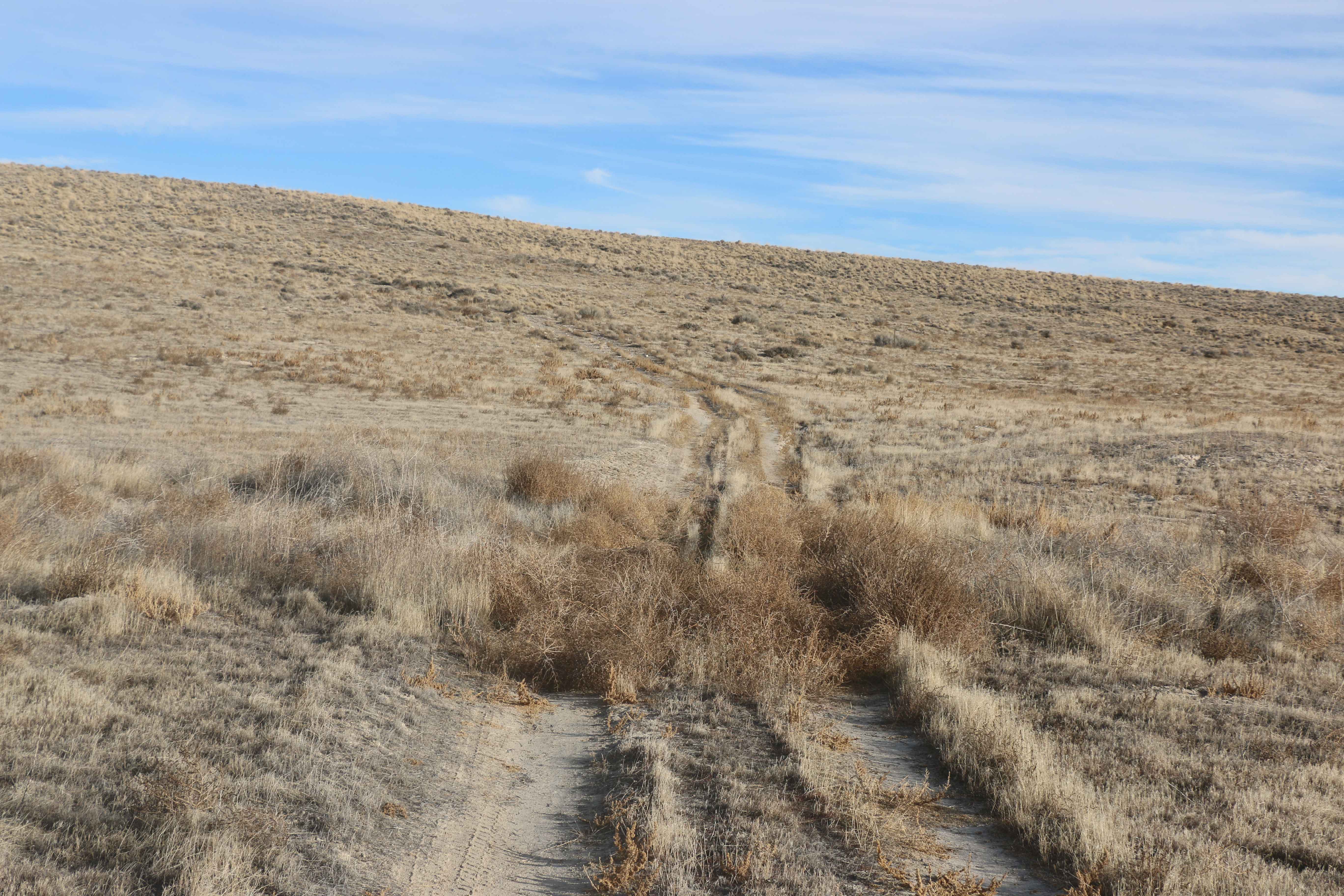
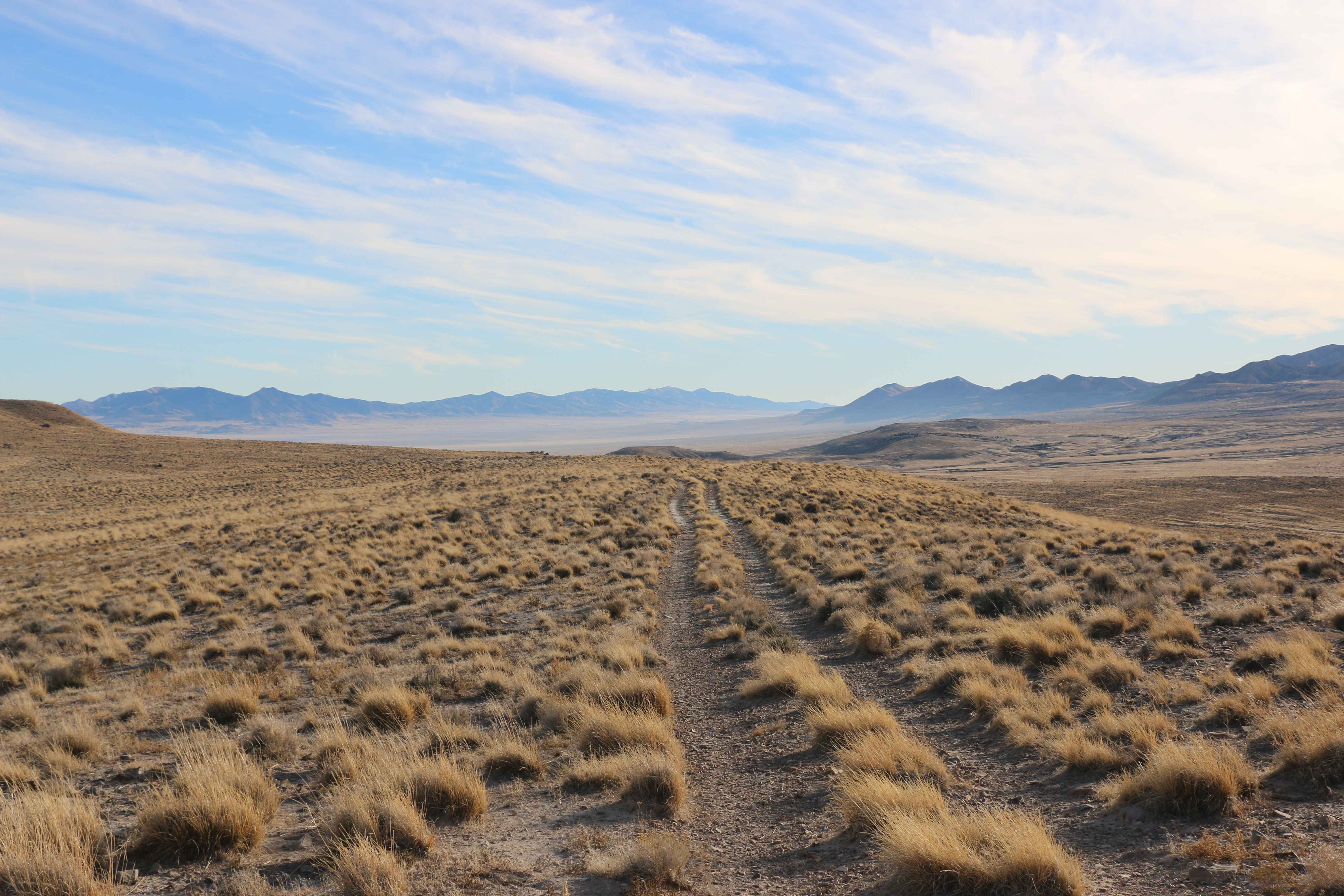
Tumbleweed Lane
Total Miles
4.8
Technical Rating
Best Time
Spring, Summer, Fall
Trail Type
Full-Width Road
Accessible By
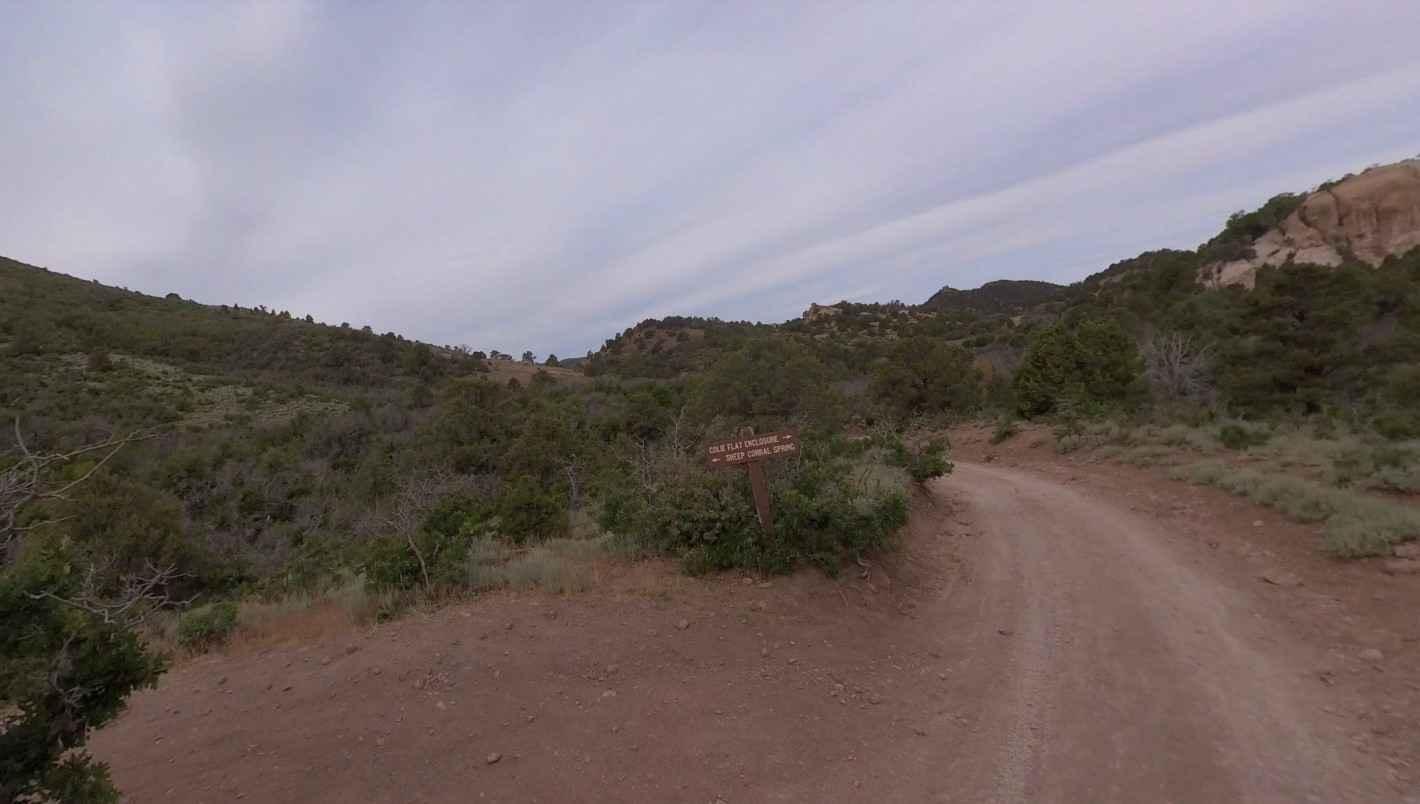
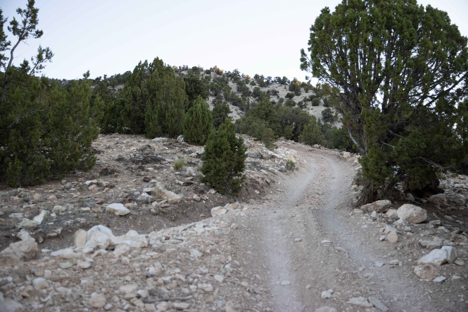
Trail Overview
The name says it all with this trail. Another trail that shows signs of infrequent travelling. Tumbleweeds cover the trail in some spots, requiring you to drive over them. The trail is narrow, and the only obstacles to speak of are the tumbleweeds. It is an easy trail that is worth exploring. The trail crosses a ridge at one point that offers you amazing views of the valley, Dugway Proving Grounds, and even the Great Salt Lake. Not sure why this trail is so infrequently travelled, but it definitely shouldn't be. There are also a few camping spots along this trail.
Photos of Tumbleweed Lane
Difficulty
The trail itself is relatively easy, but there are tumbleweeds to navigate around and over.
Status Reports
Tumbleweed Lane can be accessed by the following ride types:
- High-Clearance 4x4
- SUV
- SxS (60")
- ATV (50")
- Dirt Bike
Tumbleweed Lane Map
Popular Trails
Hells Hole Pass Road
Colie Flat-FR30003
Toll Road to Steve's Pass
The onX Offroad Difference
onX Offroad combines trail photos, descriptions, difficulty ratings, width restrictions, seasonality, and more in a user-friendly interface. Available on all devices, with offline access and full compatibility with CarPlay and Android Auto. Discover what you’re missing today!