State Lands Spur - BLM 74
Total Miles
0.5
Technical Rating
Best Time
Spring, Summer, Fall
Trail Type
Full-Width Road
Accessible By
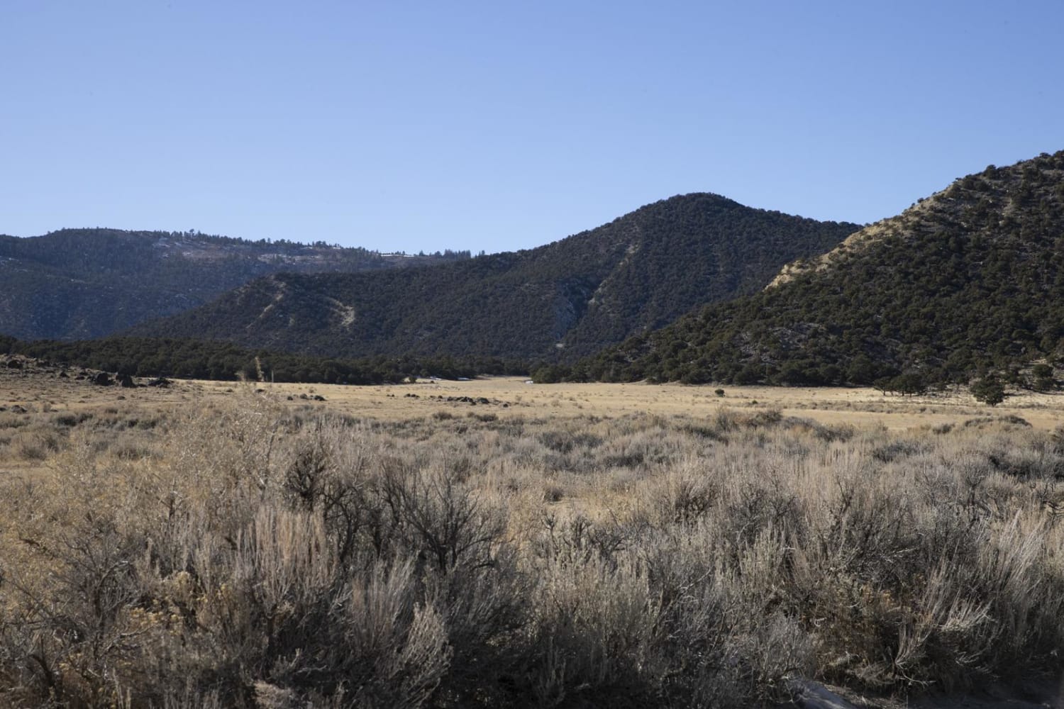
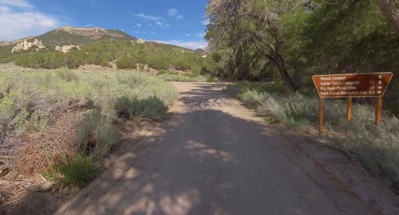
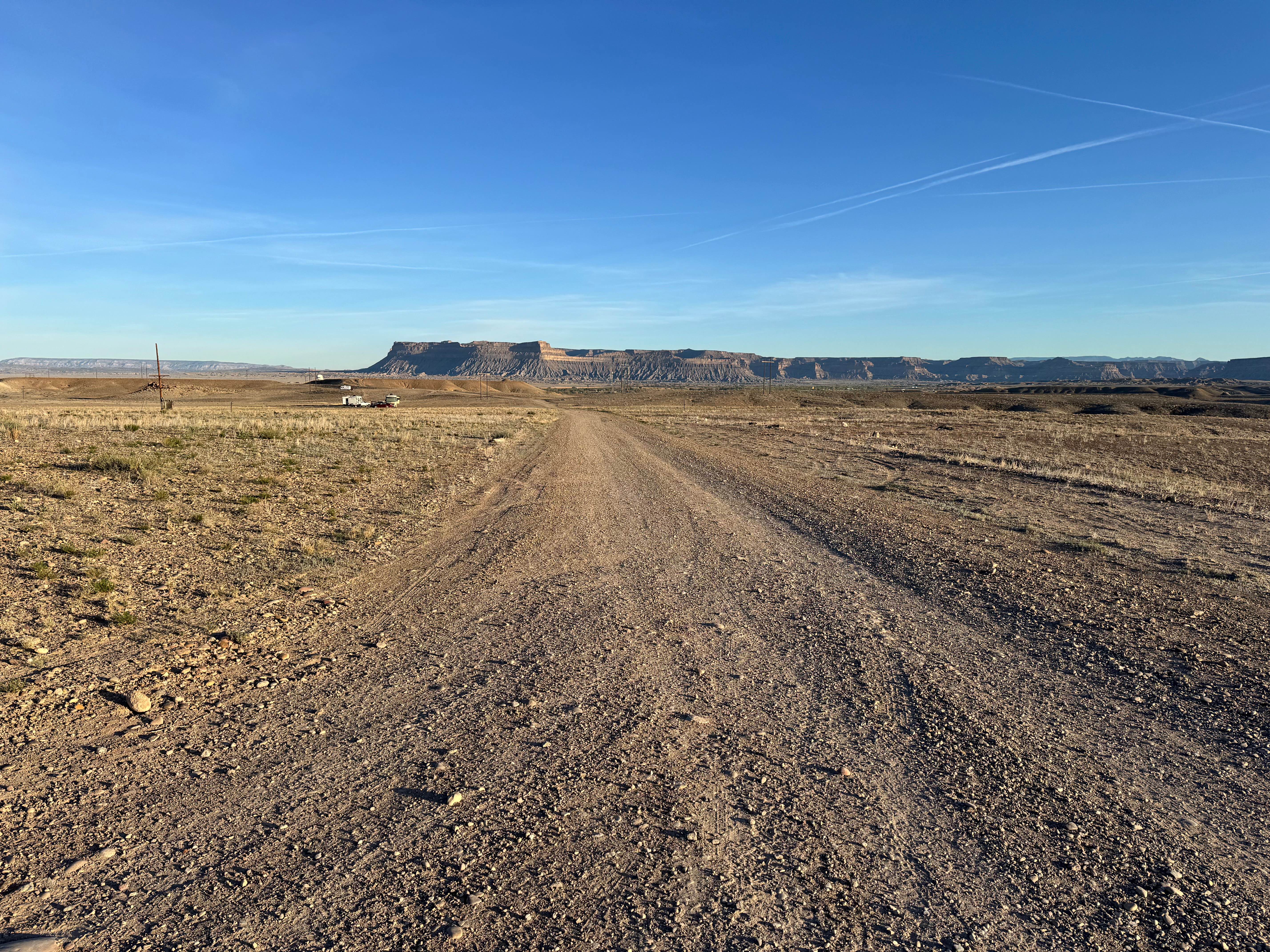
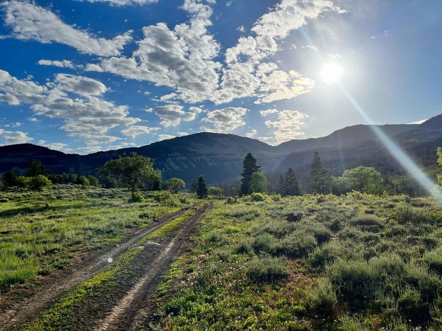
Trail Overview
Branching directly off the main BLM 74 - East route, the State Lands Spur is a brief but incredibly rewarding 0.53-mile offshoot that carries explorers across the boundary into Utah State Trust lands. This exceptionally tight and twisty red-dirt two-track meanders intimately through dense, overgrown high-desert upland scrub and fragrant juniper trees. Because the trail is so remarkably narrow and unmaintained, the encroaching brush makes aggressive pinstriping a guarantee for any mid-size or full-size vehicle attempting the transit. However, those willing to brave the scratching branches are deeply rewarded at the trail's terminus. The route dead-ends at a spectacular, highly secluded dispersed campsite perched directly on the rocky canyon rim. From this elevated vantage point, campers are treated to breathtaking, sweeping panoramic overlooks peering steeply down into the dramatic, multi-colored cliffs and lush valley floor of the magnificent canyon below. It is a premier, highly isolated destination perfect for an unforgettable backcountry overnight stay.
Photos of State Lands Spur - BLM 74


Difficulty
The State Lands Spur earns a solid Level 3 Moderate technical rating primarily due to a series of distinct, challenging off-camber erosion ruts carved deeply into the dirt track. Navigating these uneven, tilting sections requires a high-clearance 4x4 vehicle or a highly capable AWD crossover with excellent articulation to safely maintain traction and avoid lateral sliding toward the brush. Furthermore, the route is heavily overgrown with rigid juniper branches and stiff desert scrub. Any vehicle wider than a small ATV or dirt bike will experience guaranteed, unavoidable pinstriping along the entire length of the short spur. Drivers must be completely comfortable with both off-camber terrain and severe brush contact before committing to this rugged detour.
Status Reports
State Lands Spur - BLM 74 can be accessed by the following ride types:
- High-Clearance 4x4
- SUV
State Lands Spur - BLM 74 Map
Popular Trails
Jim's Farm Road
Upper Ranch Canyon Road-Beaver County 28
The onX Offroad Difference
onX Offroad combines trail photos, descriptions, difficulty ratings, width restrictions, seasonality, and more in a user-friendly interface. Available on all devices, with offline access and full compatibility with CarPlay and Android Auto. Discover what you’re missing today!