Upper Ranch Canyon Road-Beaver County 28
Total Miles
6.3
Technical Rating
Best Time
Spring, Summer, Fall
Trail Type
Full-Width Road
Accessible By
Trail Overview
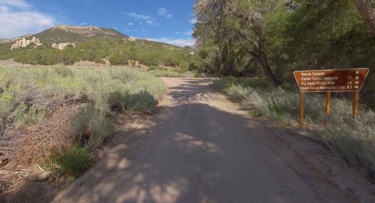
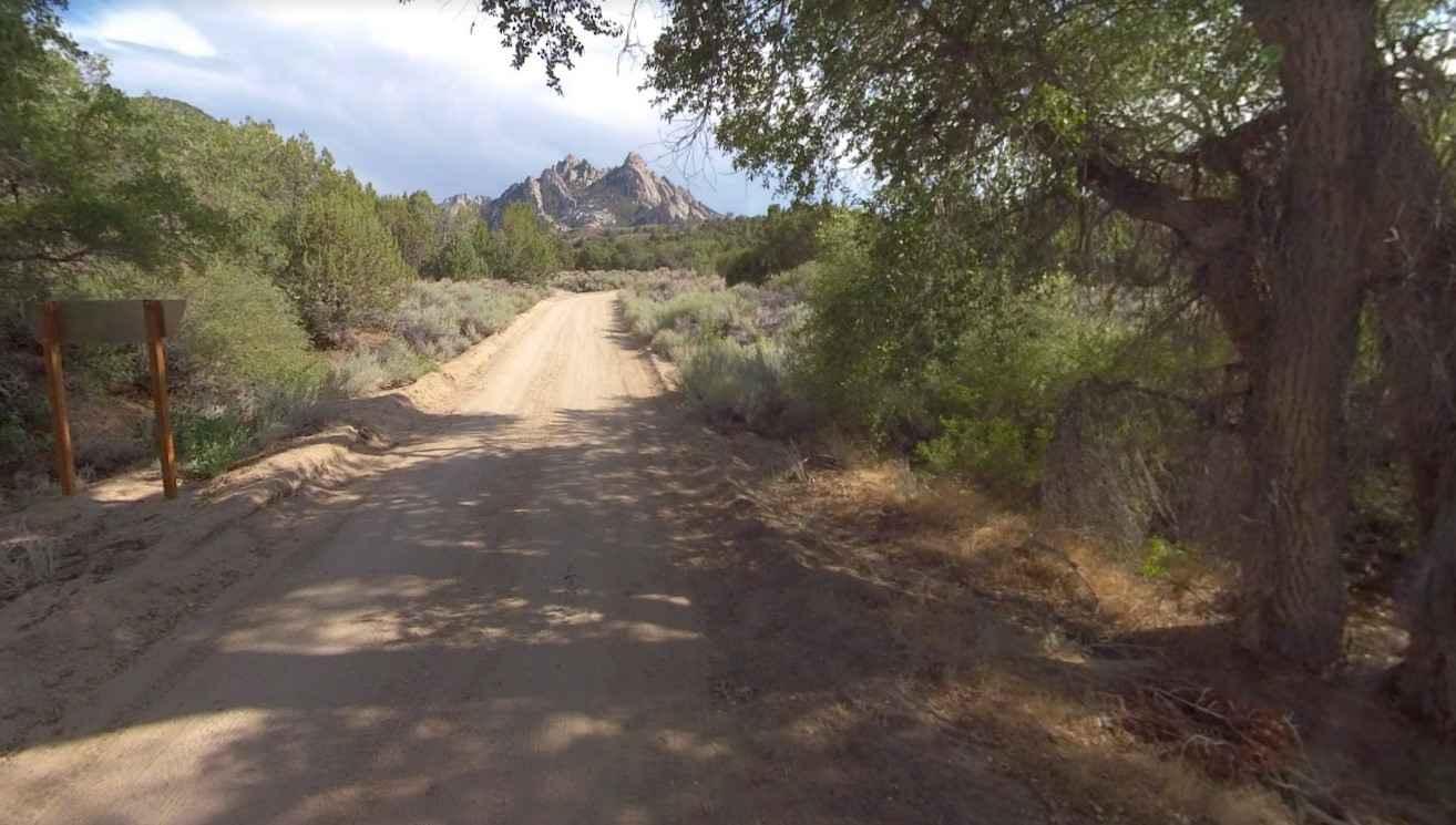
Upper Ranch Canyon Road-Beaver County 28 is a 6.5-mile point-to-point trail rated 3 of 10 located in Beaver County, Utah. This trail serves as an access point into the Mineral Mountains and connects with Lower Ranch Canyon Road which leads to Ranch Canyon and the North and South Twin Flat Mountains. An easy and enjoyable ride that starts crossing desert scape and passes "The Iron Mine" to the east about a mile after turning off Pass Road. The trail will continually climb up the slope with some switchbacks once you crest the ridge at about 7000 feet. Just prior to reaching the end of the trail a turn to the right along a little used track leads back to the Pumice Hole Mine. The area is remote without cell phone service. Nearest services are located in Milford roughly 20-miles southwest.
Photos of Upper Ranch Canyon Road-Beaver County 28
Difficulty
The trail consists of loose rocks, dirt, and sand with some slickrock surfaces, mud holes possible, and no steps higher than 12". 4WD may be required, aggressive tires are a plus.
Status Reports
Upper Ranch Canyon Road-Beaver County 28 can be accessed by the following ride types:
- High-Clearance 4x4
- SUV
- SxS (60")
- ATV (50")
- Dirt Bike
Upper Ranch Canyon Road-Beaver County 28 Map
Popular Trails
Cockscomb Black Table Road
Baker Hot Springs

Dry Bread Upper ATV FS 6622

Arapeen Trail 01 - Manti Canyon to Fishlake
The onX Offroad Difference
onX Offroad combines trail photos, descriptions, difficulty ratings, width restrictions, seasonality, and more in a user-friendly interface. Available on all devices, with offline access and full compatibility with CarPlay and Android Auto. Discover what you’re missing today!