Roundup Cuddy Back-NFS30566
Total Miles
4.6
Technical Rating
Best Time
Summer, Spring, Fall
Trail Type
Full-Width Road
Accessible By
Trail Overview
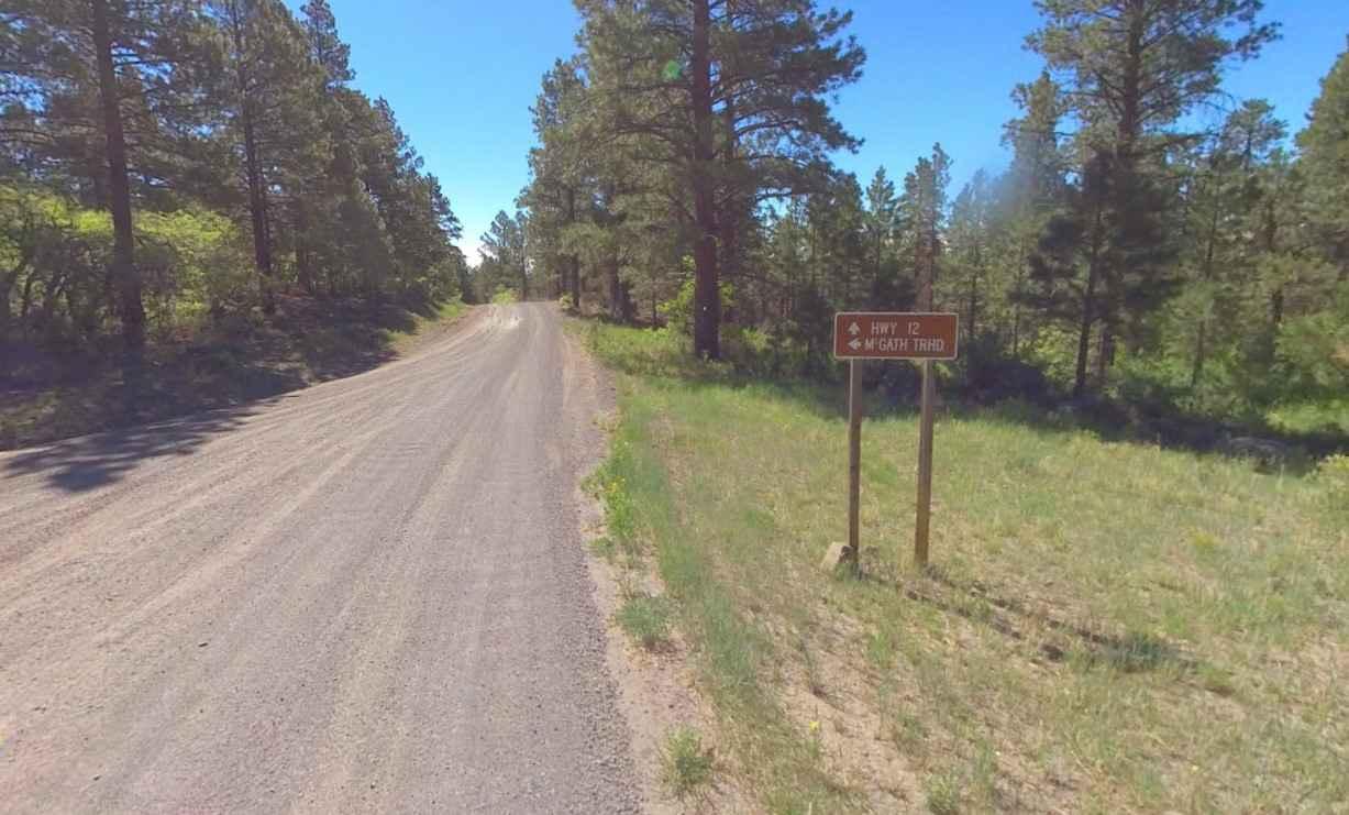
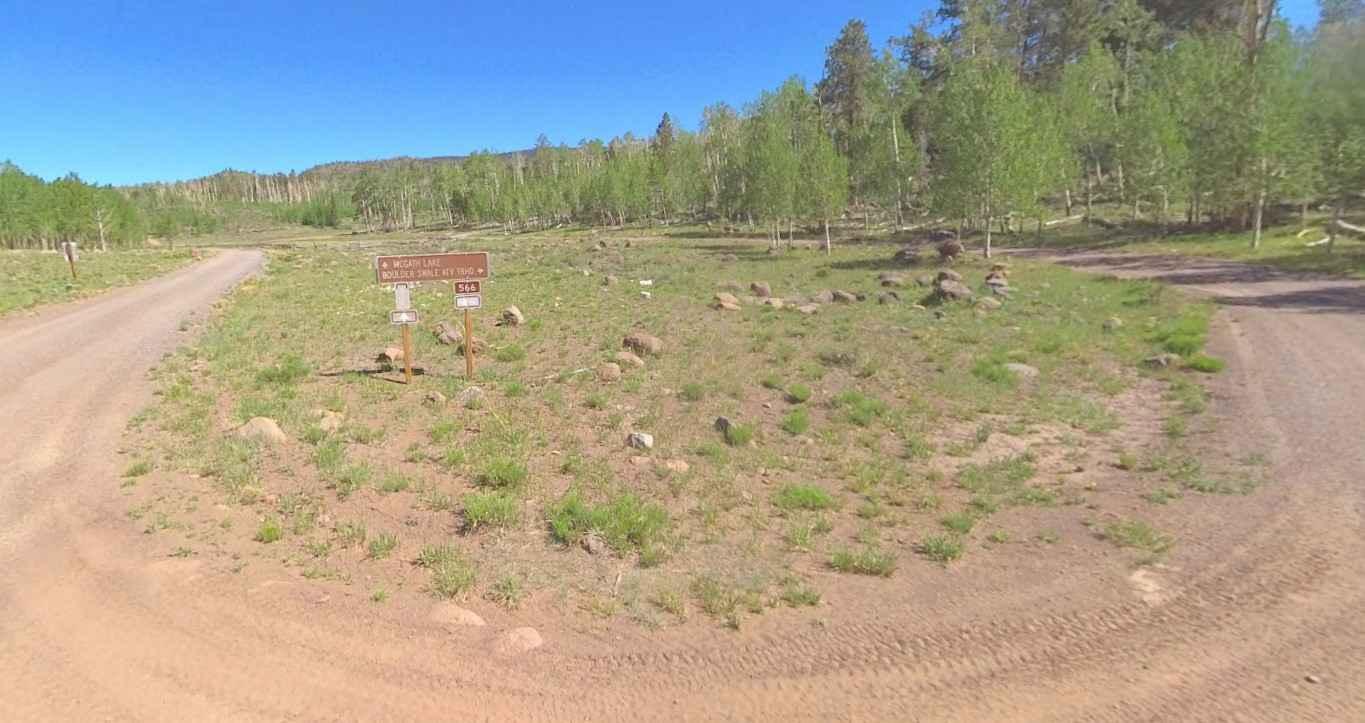
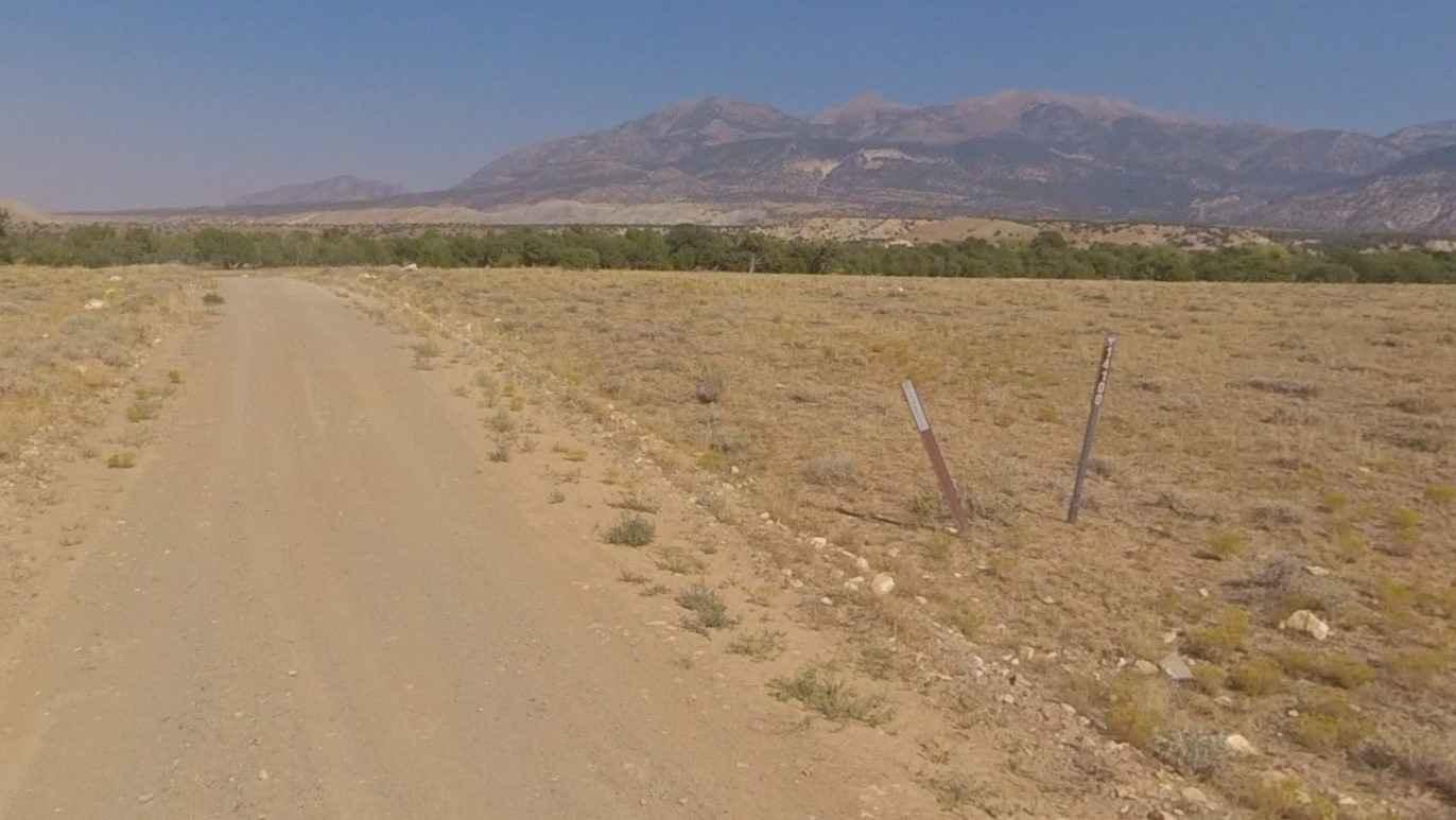
Roundup Cuddy Back-NFS30566 is a 4.6-mile point-to-point trail rated 2 of 10 located in Garfield County, Utah, within the Escalante Ranger District of the Dixie National Forest. Roundup Cuddy Back connects Hells Backbone (NFS30153) and the Boulder Swale ATV trail parking area. This trail also intersects with Sweetwater Trail, which is the only motorized vehicle access to McGath Lake. The trail is well-maintained during the summer months so that vehicles with trailers can make it to the ATV parking area. The trail is wider than a single-track and generally usable by any 2 or 4WD high-clearance vehicle. There are a couple of hairpin turns on the trail but they do not create a hindrance to vehicles with trailers. The trail is a continual uphill pull from Hell's Backbone, but there are not any considerable steep sections. There is no cell phone service in the area and the nearest services are in Boulder.
Photos of Roundup Cuddy Back-NFS30566
Difficulty
This is a county dirt road with infrequent or light maintenance after rain or snow. High-clearance, light-duty 4WD may be required.
Status Reports
Roundup Cuddy Back-NFS30566 can be accessed by the following ride types:
- High-Clearance 4x4
- SUV
- SxS (60")
- ATV (50")
- Dirt Bike
Roundup Cuddy Back-NFS30566 Map
Popular Trails
Stevens Mesa Road-BLM14100

White House Trailhead Road

Red Canyon/Back Way to Motoqua Birthing Cave

Cliffside Camp
The onX Offroad Difference
onX Offroad combines trail photos, descriptions, difficulty ratings, width restrictions, seasonality, and more in a user-friendly interface. Available on all devices, with offline access and full compatibility with CarPlay and Android Auto. Discover what you’re missing today!