Roost Road - BLM0123
Total Miles
20.9
Technical Rating
Best Time
Spring, Summer, Fall, Winter
Trail Type
Full-Width Road
Accessible By
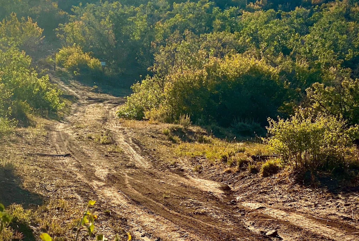
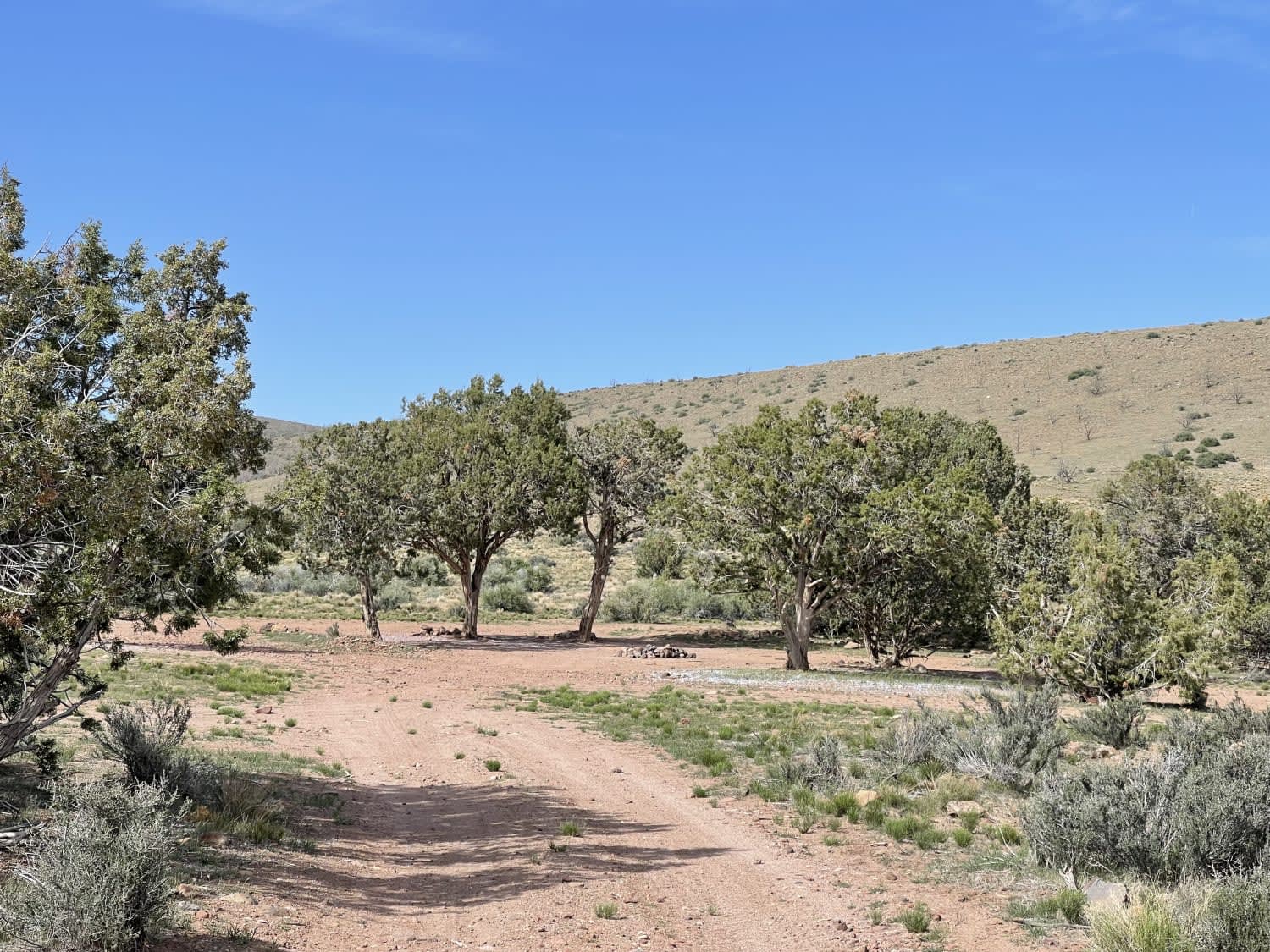
Trail Overview
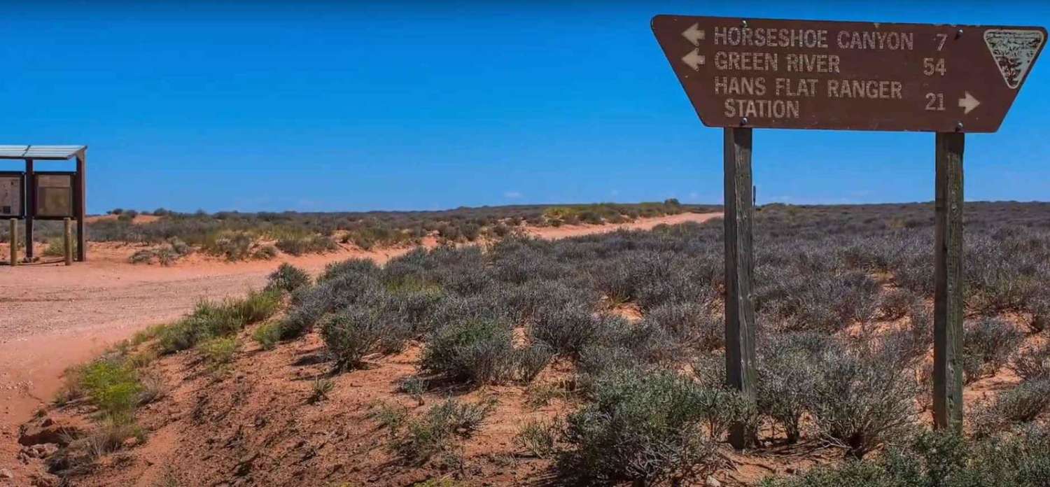
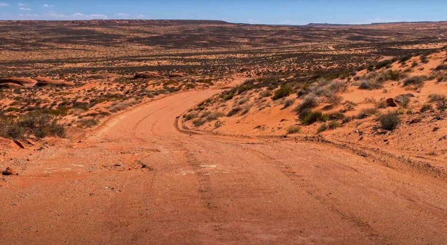
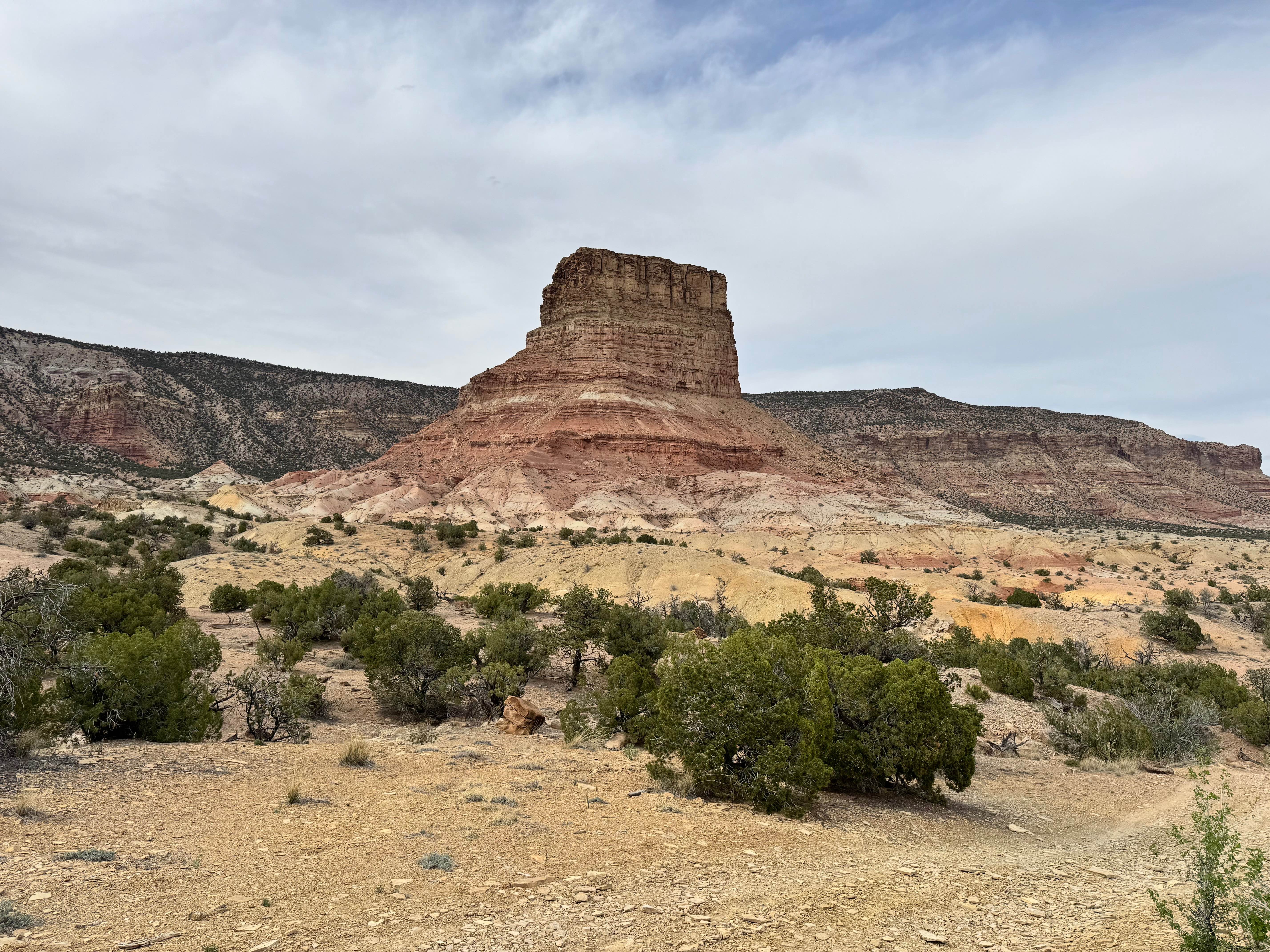
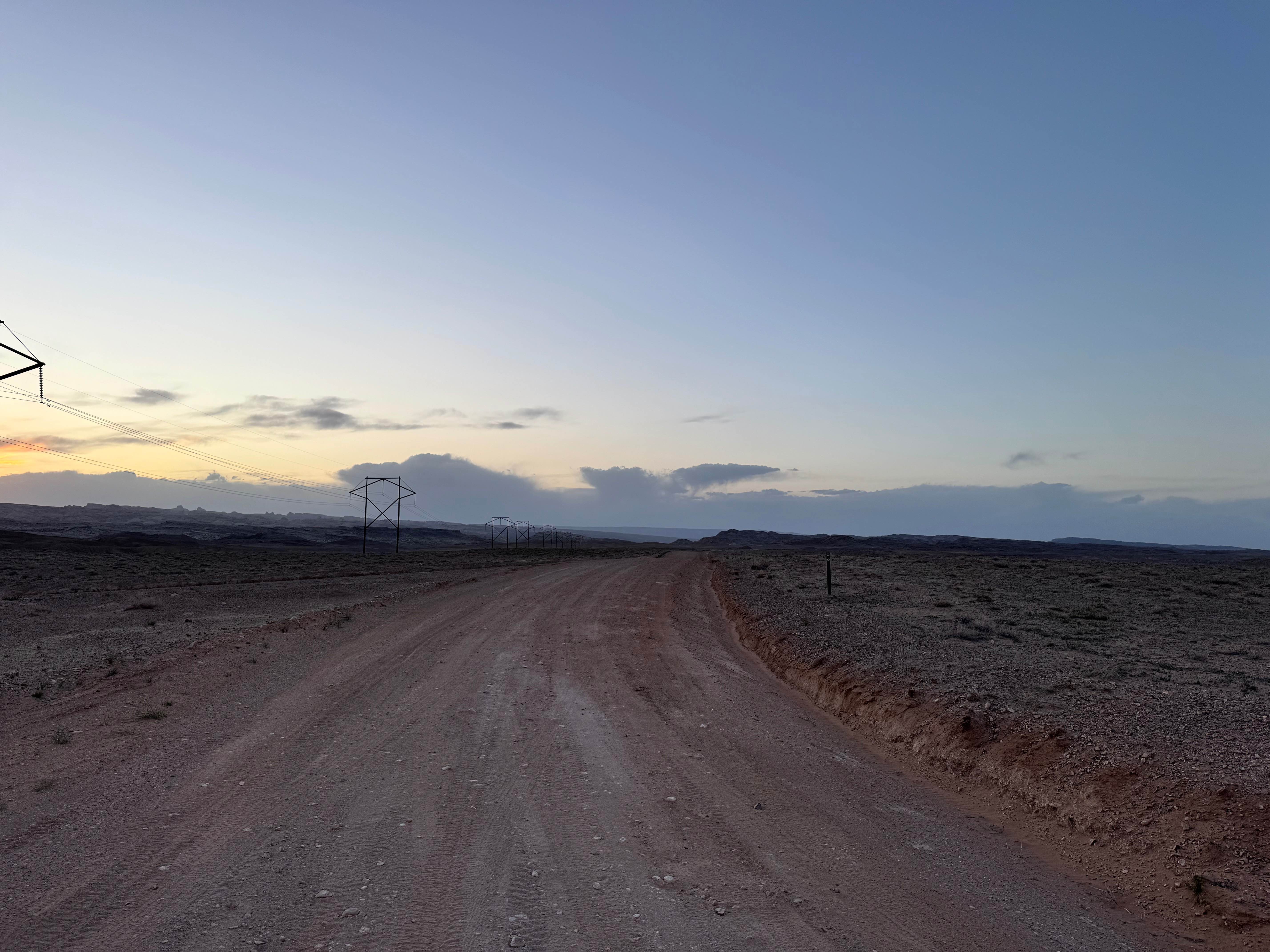
Roost Road is a 20.9-mile point-to-point trail rated 2 of 10 located in Wayne County. The road has several names including Hans Flat Road although most maps identify it as Roost Road. This improved dirt road that most 2WD and any high clearance 2 or 4WD vehicles can access. Blowing sand dunes or precipitation can degrade the road condition at any time. The road begins at the information kiosk at the intersection of Lower San Rafael Road and ends when it reaches the Glen Canyon National Recreational boundary. A National Parks Service Ranger Station is located here. Roost Road is one of two main roads into the High Spur and Maze Areas of the recreational area. Roads beyond the ranger station require high clearance and four-wheel drive year-round. The remote Hans Flat (Maze) Ranger Station is normally open daily year-round. This ranger contact station has a picnic table and vault toilet, and a small selection of books and maps for sale. There are no services, food, gas, trash collection, electricity for visitor use, or potable water in The Maze. The nearest communities with amenities are Hanksville (68 miles) and Green River (86 miles). There is no cell service along the road. Only highway-legal vehicles are allowed east of the ranger station.
Photos of Roost Road - BLM0123
Difficulty
This is a county dirt road with infrequent or light maintenance after rain or snow, high clearance light duty 4WD may be required.
Status Reports
Roost Road - BLM0123 can be accessed by the following ride types:
- High-Clearance 4x4
- SUV
- SxS (60")
- ATV (50")
- Dirt Bike
Roost Road - BLM0123 Map
Popular Trails
Chimney Rock Cutoff
Smith Camp Road
Loop Road Trail FR Rd 636
Grapevine Wash Connector
The onX Offroad Difference
onX Offroad combines trail photos, descriptions, difficulty ratings, width restrictions, seasonality, and more in a user-friendly interface. Available on all devices, with offline access and full compatibility with CarPlay and Android Auto. Discover what you’re missing today!