Molly Hogan Lowlands
Total Miles
1.2
Technical Rating
Best Time
Spring, Summer, Fall, Winter
Trail Type
Full-Width Road
Accessible By
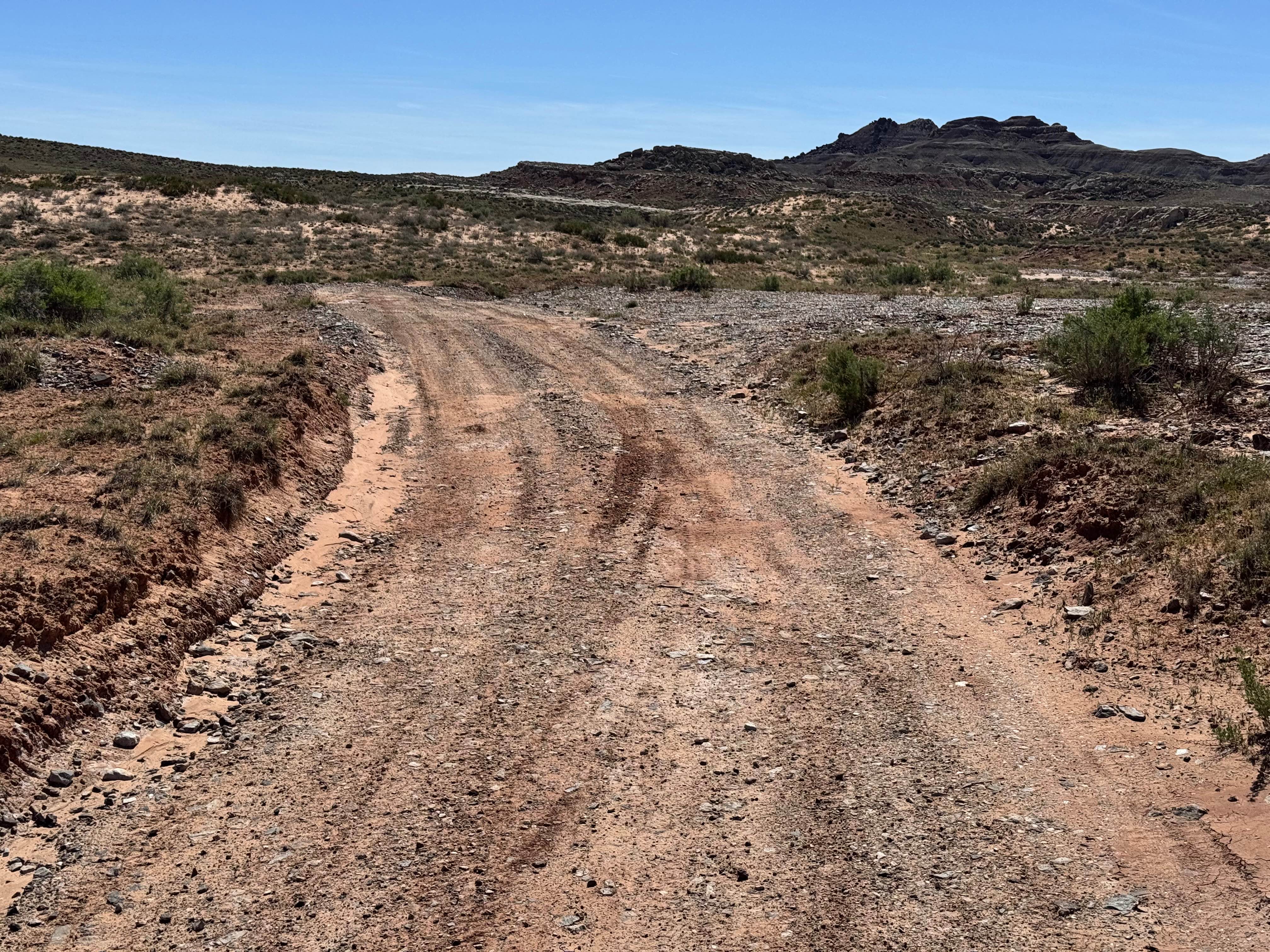
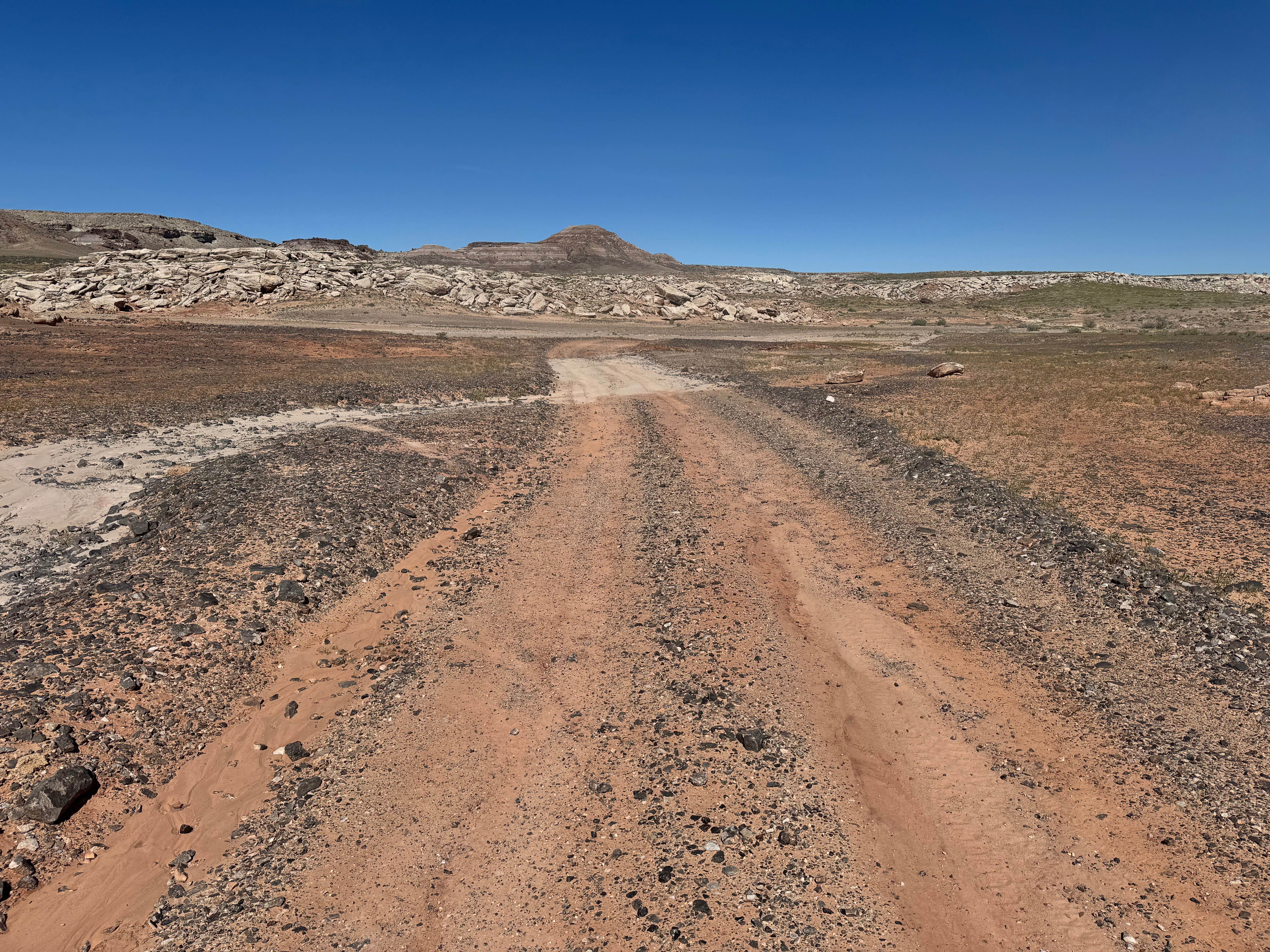
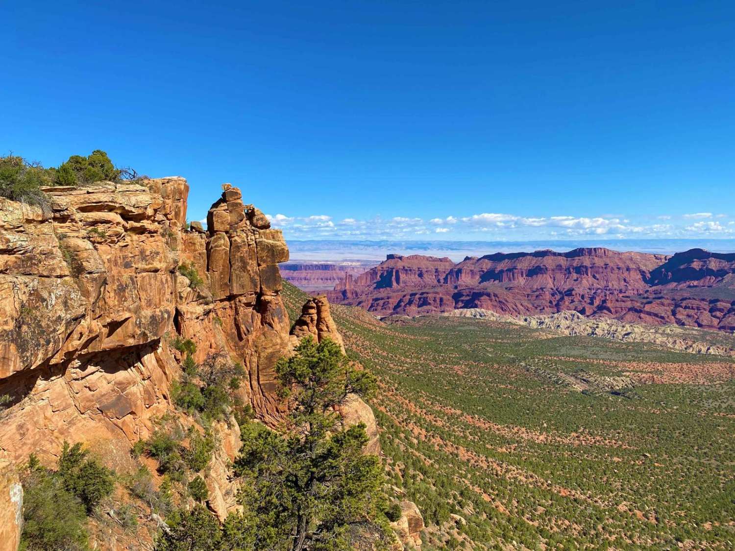
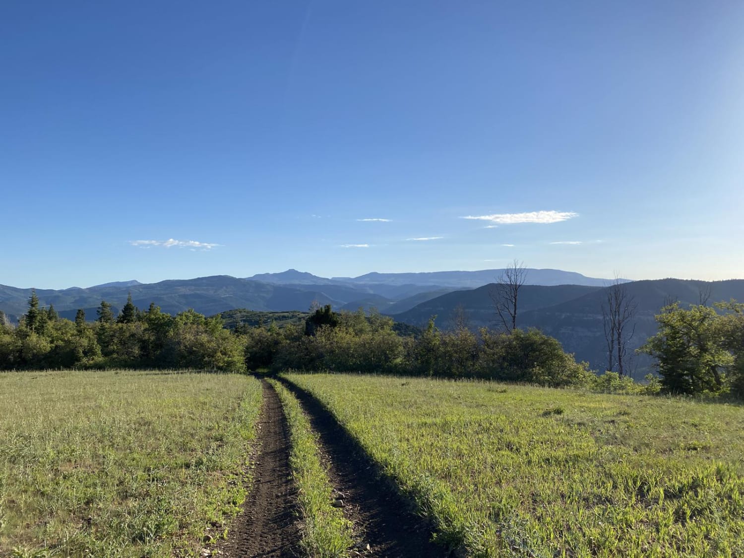
Trail Overview
Non-Resident OHV permits apply to ATVs, UTVs, and dirt bikes. Plated street-legal vehicles typically do not need one on legal motorized routes. This short route provides an alternate connection into Johns Incline while offering a mix of open desert scenery and light technical terrain. The trail crosses broad flats with colorful sand, scattered rock, and wide views of the surrounding mesas and layered hills that define the Yellowcat area. Along the way, drivers will encounter sections of wet sand and shallow muddy pockets that can change with recent weather. Near the climb, the route becomes more interesting with a rocky, washed-out hill that requires careful tire placement and steady momentum. Outside of that section, the trail remains fairly easy and enjoyable, making it a fun connector with a little added challenge.
Photos of Molly Hogan Lowlands
Difficulty
This route is mostly easy travel on open desert two-track with mild bumps and straightforward navigation. The main challenge comes from the rocky, washed-out hill climb where careful tire placement and a bit of momentum may be needed. Wet, sandy, or muddy sections can also increase difficulty depending on recent weather.
History
This region is closely tied to the uranium and vanadium mining booms that shaped eastern Utah in the mid-1900s. During the Cold War, demand for uranium surged, bringing roads, claims, camps, and small industrial sites into the desert. Evidence of that era still remains today in the form of old structures, fenced or barricaded mine openings, tailings areas, and abandoned access roads. These remnants are part of the area's story: look, photograph, and respect them without disturbing anything.
Status Reports
Molly Hogan Lowlands can be accessed by the following ride types:
- High-Clearance 4x4
- SUV
- SxS (60")
- ATV (50")
- Dirt Bike
Molly Hogan Lowlands Map
Popular Trails
Sinbad Valley Arch and Petroglyphs Loop
Waterglyph Lane (BLM 101)
Browns Hole Trail
The onX Offroad Difference
onX Offroad combines trail photos, descriptions, difficulty ratings, width restrictions, seasonality, and more in a user-friendly interface. Available on all devices, with offline access and full compatibility with CarPlay and Android Auto. Discover what you’re missing today!