Lame Horse (2055)
Total Miles
3.4
Technical Rating
Best Time
Summer, Fall
Trail Type
Single Track
Accessible By
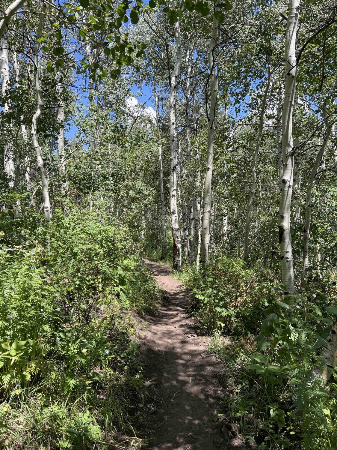
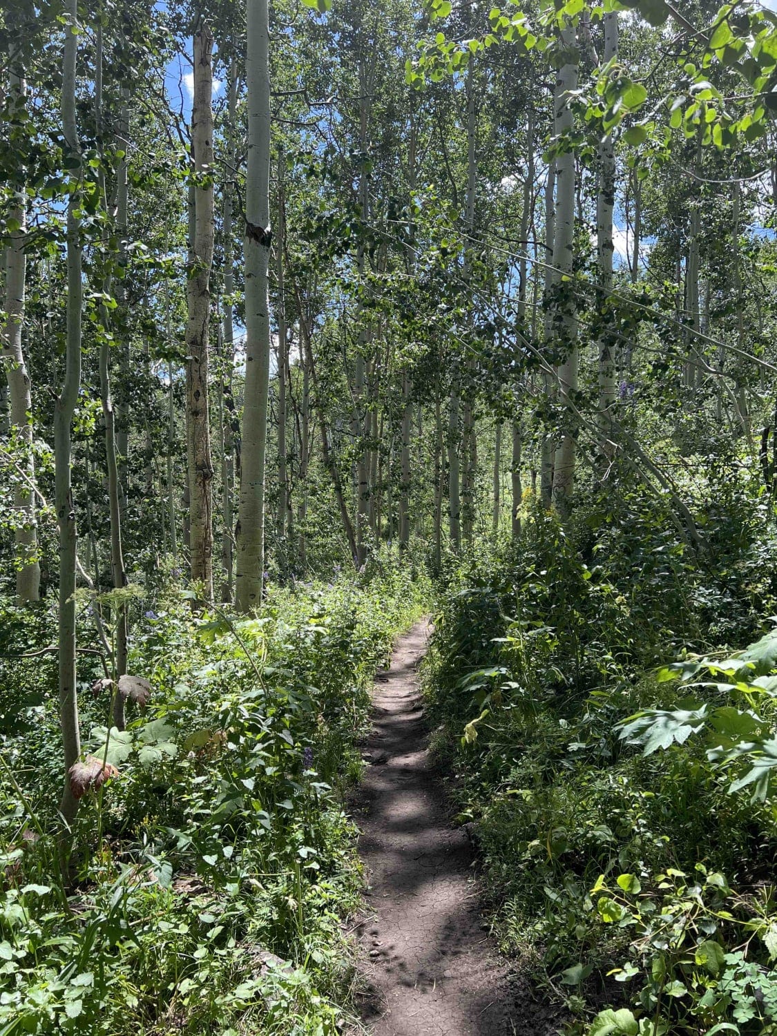
Trail Overview
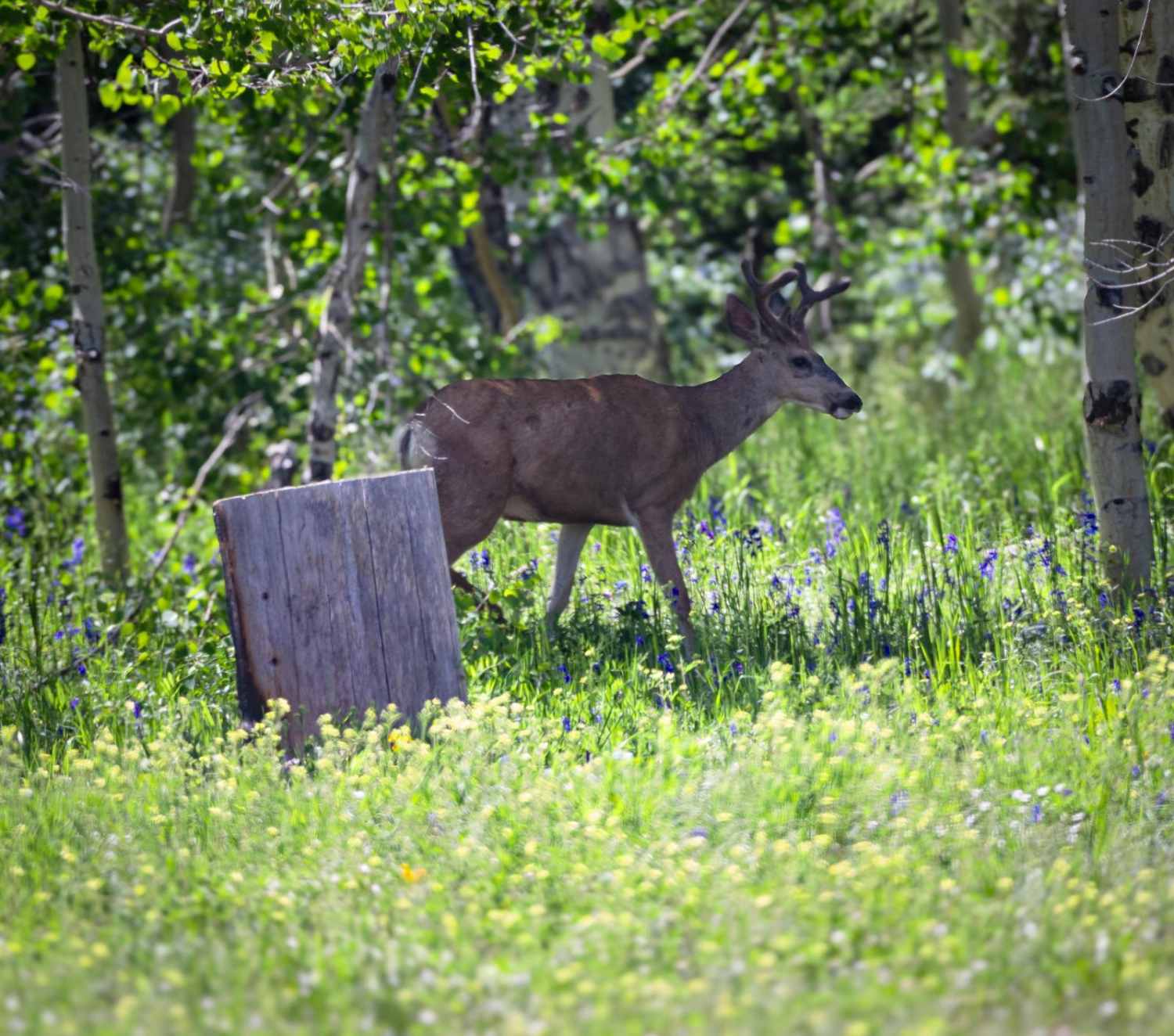
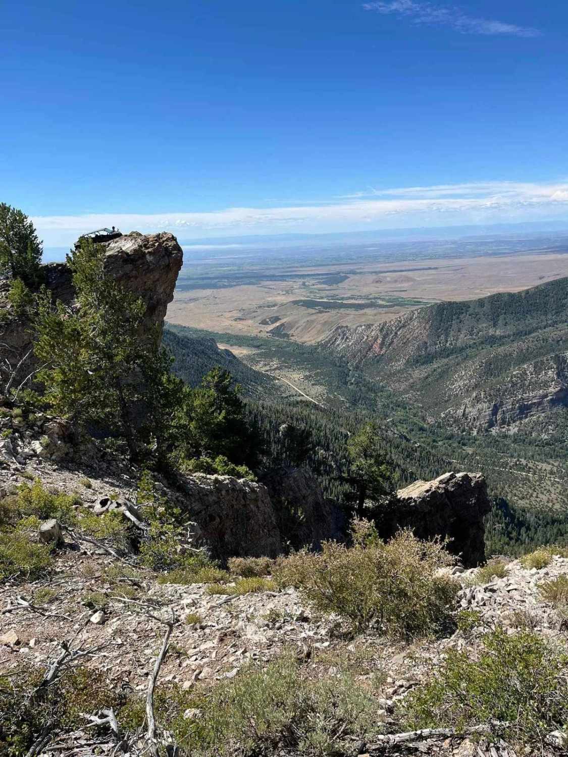
Lame Horse runs from the Alpine Loop Summit parking lot to the base of Mount Timpanogos hiking trails. It's a dead end with views of the mountain, but nowhere to go but back towards the parking lot. The single-track trail cuts through an aspen forest and is generally flat without any major obstacles.
Photos of Lame Horse (2055)
Difficulty
This single-track trail is mostly flat without any major obstacles.
Status Reports
Lame Horse (2055) can be accessed by the following ride types:
- Dirt Bike
Lame Horse (2055) Map
Popular Trails
Round Park South #17
The Chute - Matt's Big Mistake
Layout - FR 70246
The onX Offroad Difference
onX Offroad combines trail photos, descriptions, difficulty ratings, width restrictions, seasonality, and more in a user-friendly interface. Available on all devices, with offline access and full compatibility with CarPlay and Android Auto. Discover what you’re missing today!