Dry Oak
Total Miles
2.6
Technical Rating
Best Time
Spring, Summer, Fall, Winter
Trail Type
Full-Width Road
Accessible By
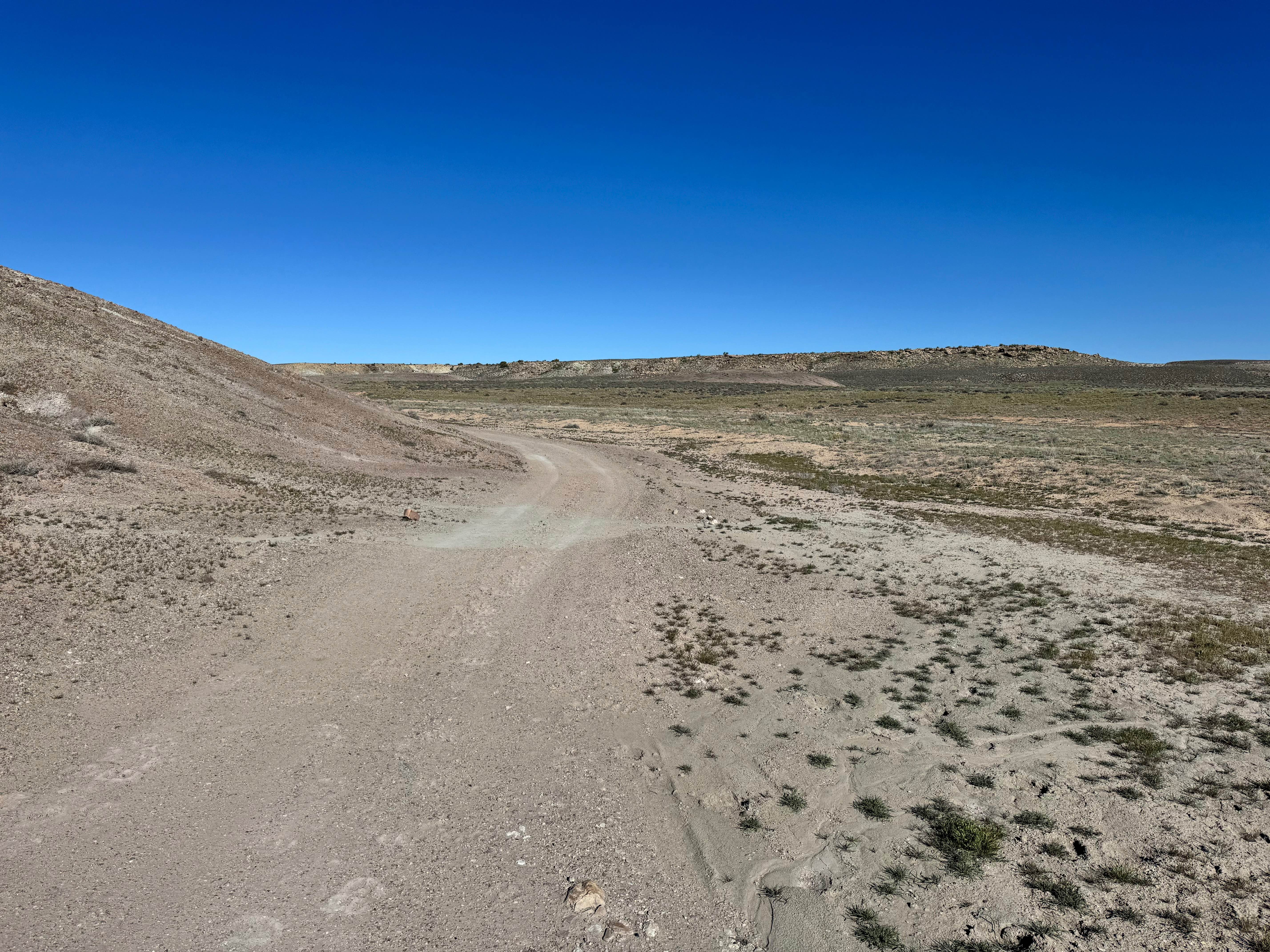
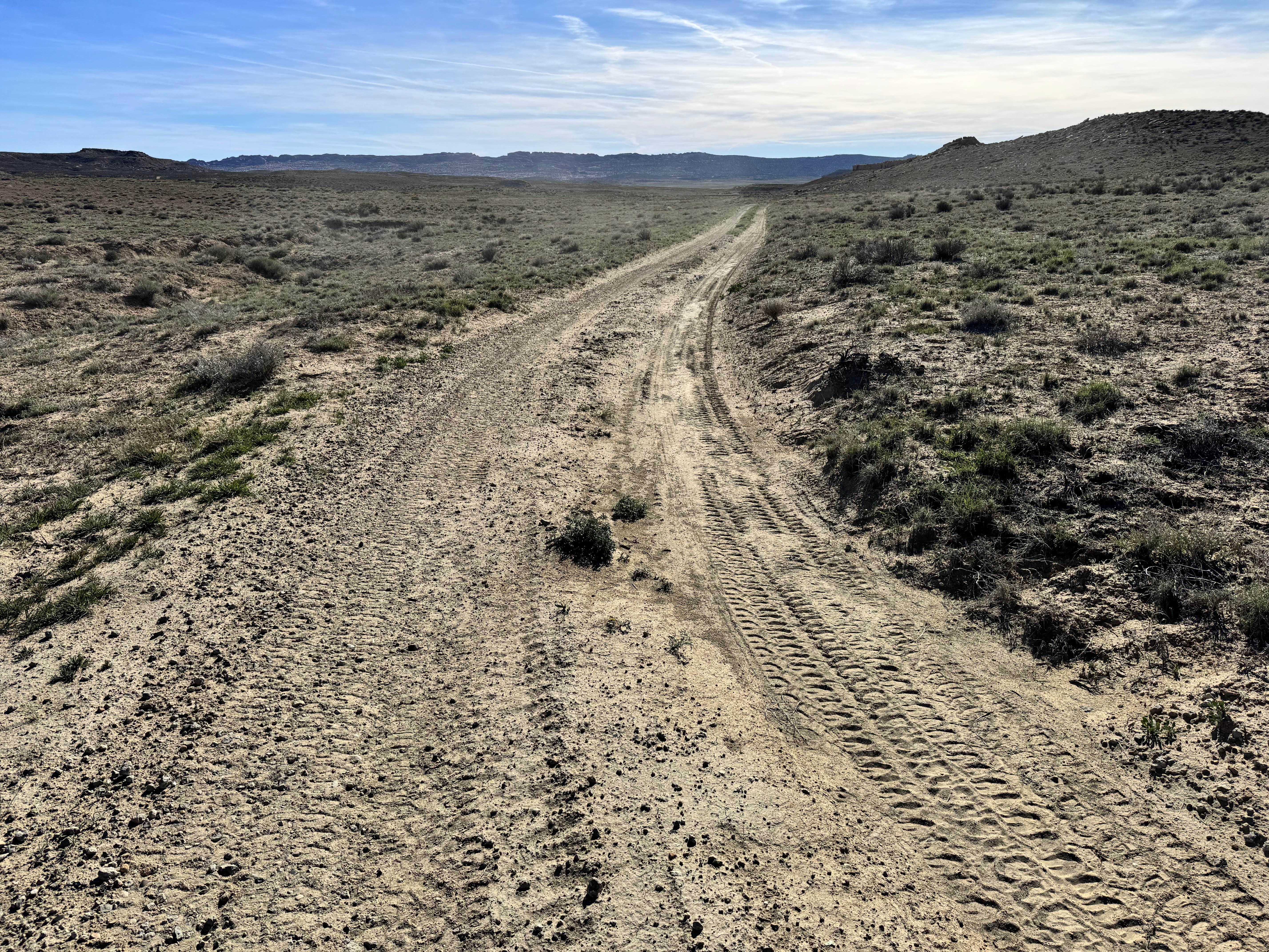
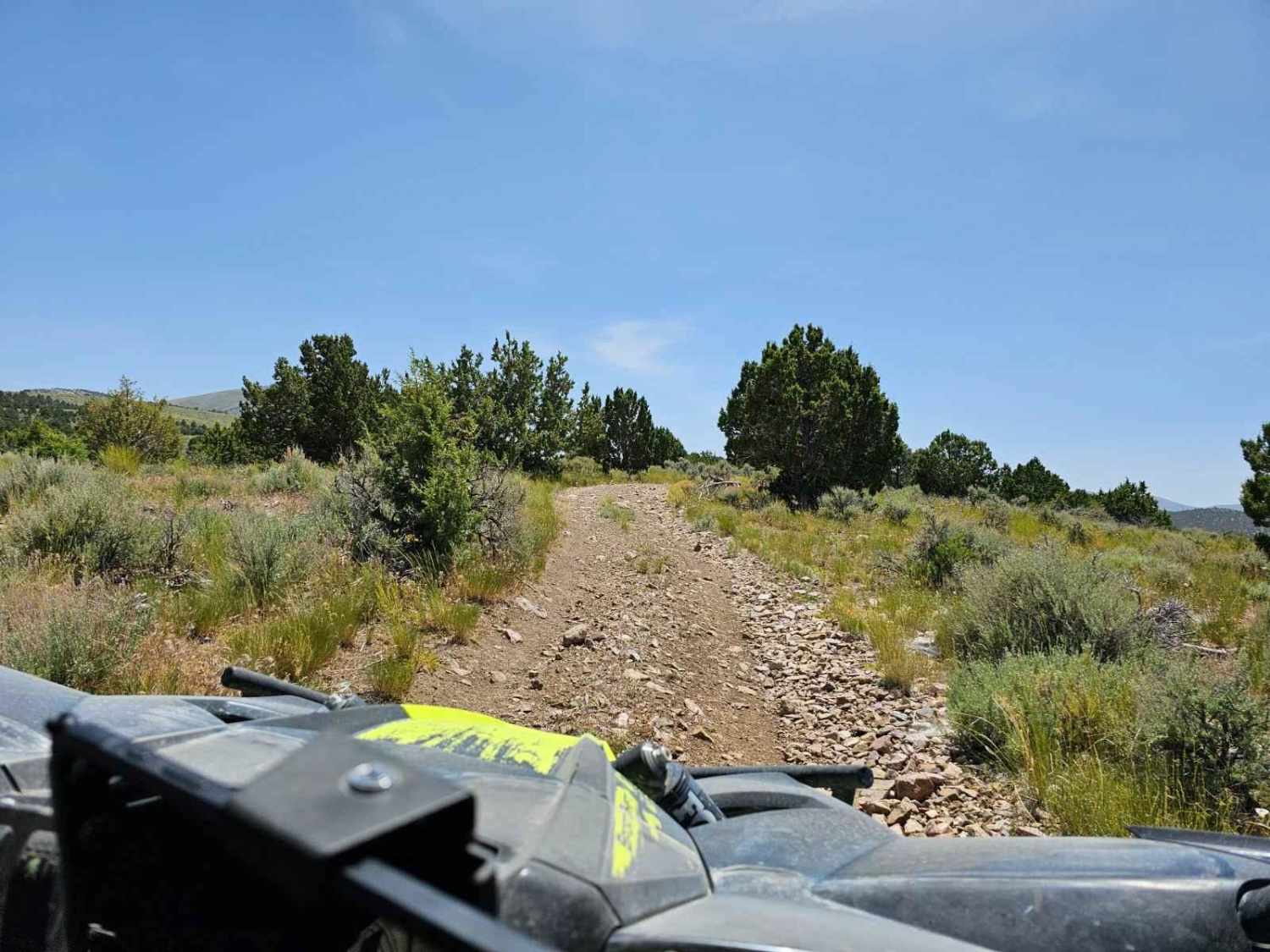
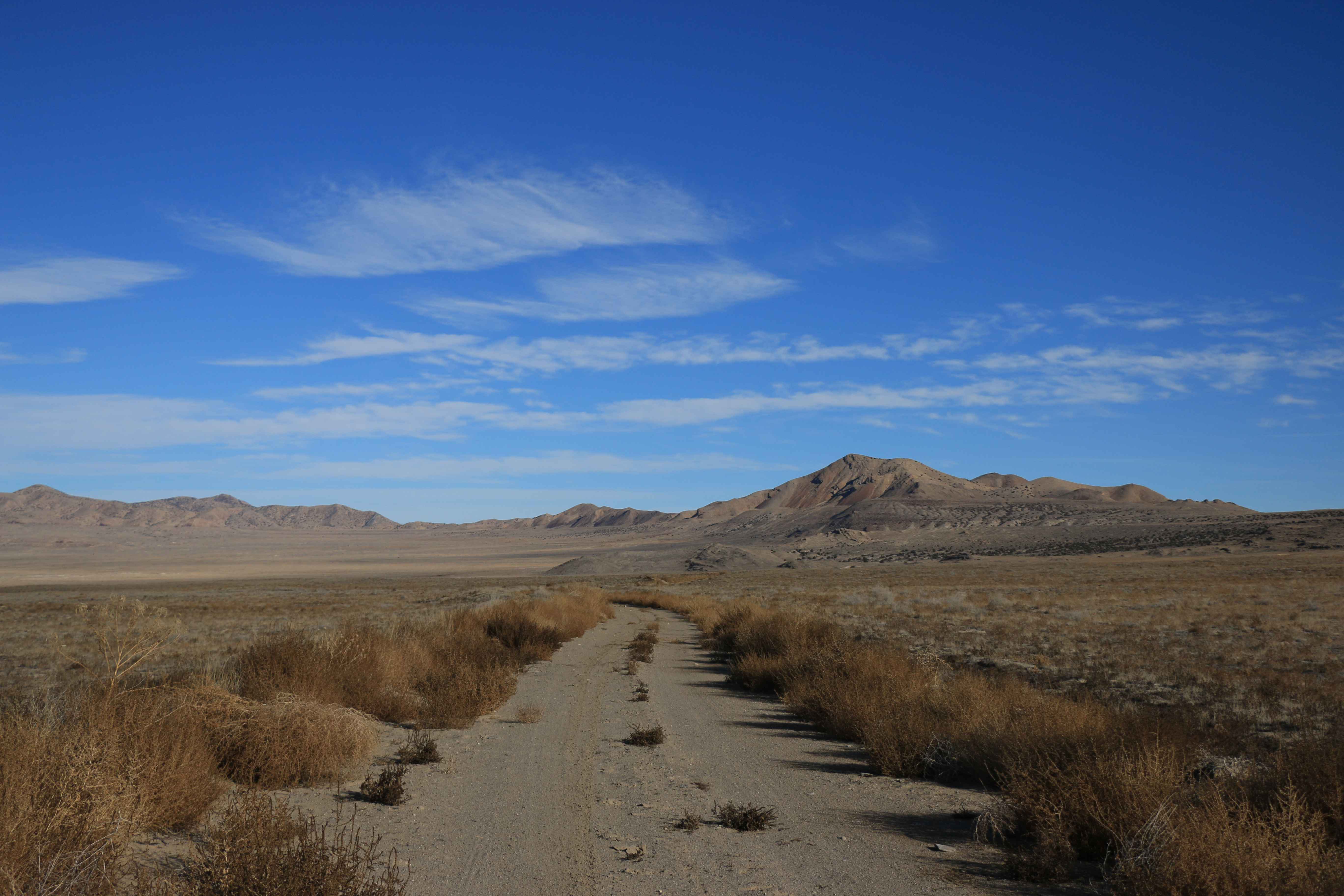
Trail Overview
Non-Resident OHV permits apply to ATVs, UTVs, and dirt bikes. Plated street-legal vehicles typically do not need one on legal motorized routes. This route climbs along the western side of the Cactus Rat Mine area and delivers a steady mix of scenic desert travel with progressively rougher terrain. The western end of this route is located near Dry Oak Spring. The route begins as a relatively easy two-track across open flats before transitioning into steeper grades as you gain elevation. Several washouts cross the route, requiring drivers to stay alert and choose careful lines, especially after storms when erosion may deepen existing ruts. As the climb continues, the surface becomes rockier with loose stone, exposed ledges, and uneven sections that can challenge traction. The higher portions of the route reward travelers with wide views of the surrounding distant mesas.
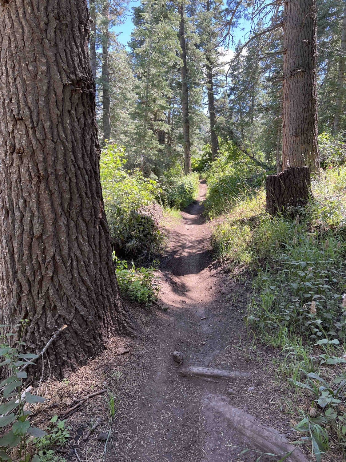
Photos of Dry Oak
Difficulty
The main challenges are multiple washouts, loose rock, uneven surfaces, and steeper grades that require good throttle control and careful tire placement. In dry conditions, a stock high-clearance 4x4 with an attentive driver should complete the trail without major issues. After rain, erosion, loose surfaces, and washouts can make the route more difficult and may raise the rating.
Status Reports
Dry Oak can be accessed by the following ride types:
- High-Clearance 4x4
- SUV
- SxS (60")
- ATV (50")
- Dirt Bike
Dry Oak Map
Popular Trails
Upper Ranch Canyon Road-Beaver County 28
South Fork Little Deer Creek (2252)
The onX Offroad Difference
onX Offroad combines trail photos, descriptions, difficulty ratings, width restrictions, seasonality, and more in a user-friendly interface. Available on all devices, with offline access and full compatibility with CarPlay and Android Auto. Discover what you’re missing today!