County Road 3469-PST42
Total Miles
2.4
Technical Rating
Best Time
Spring, Summer, Fall, Winter
Trail Type
Full-Width Road
Accessible By
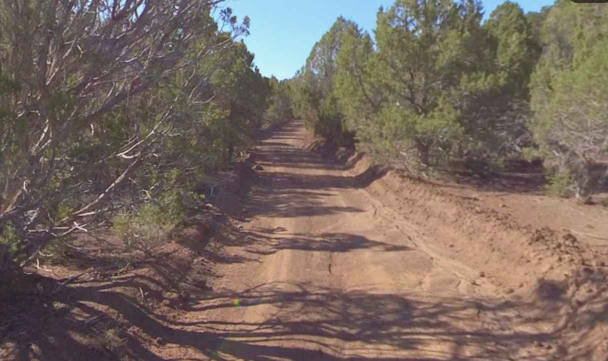
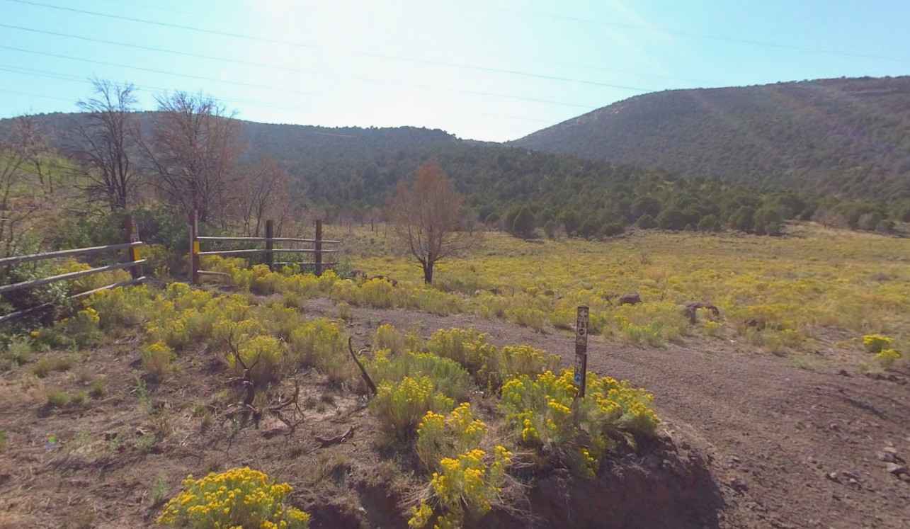
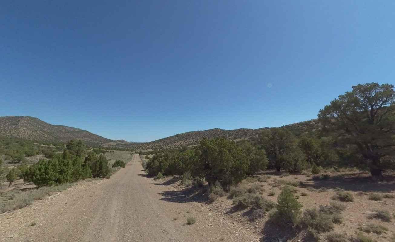
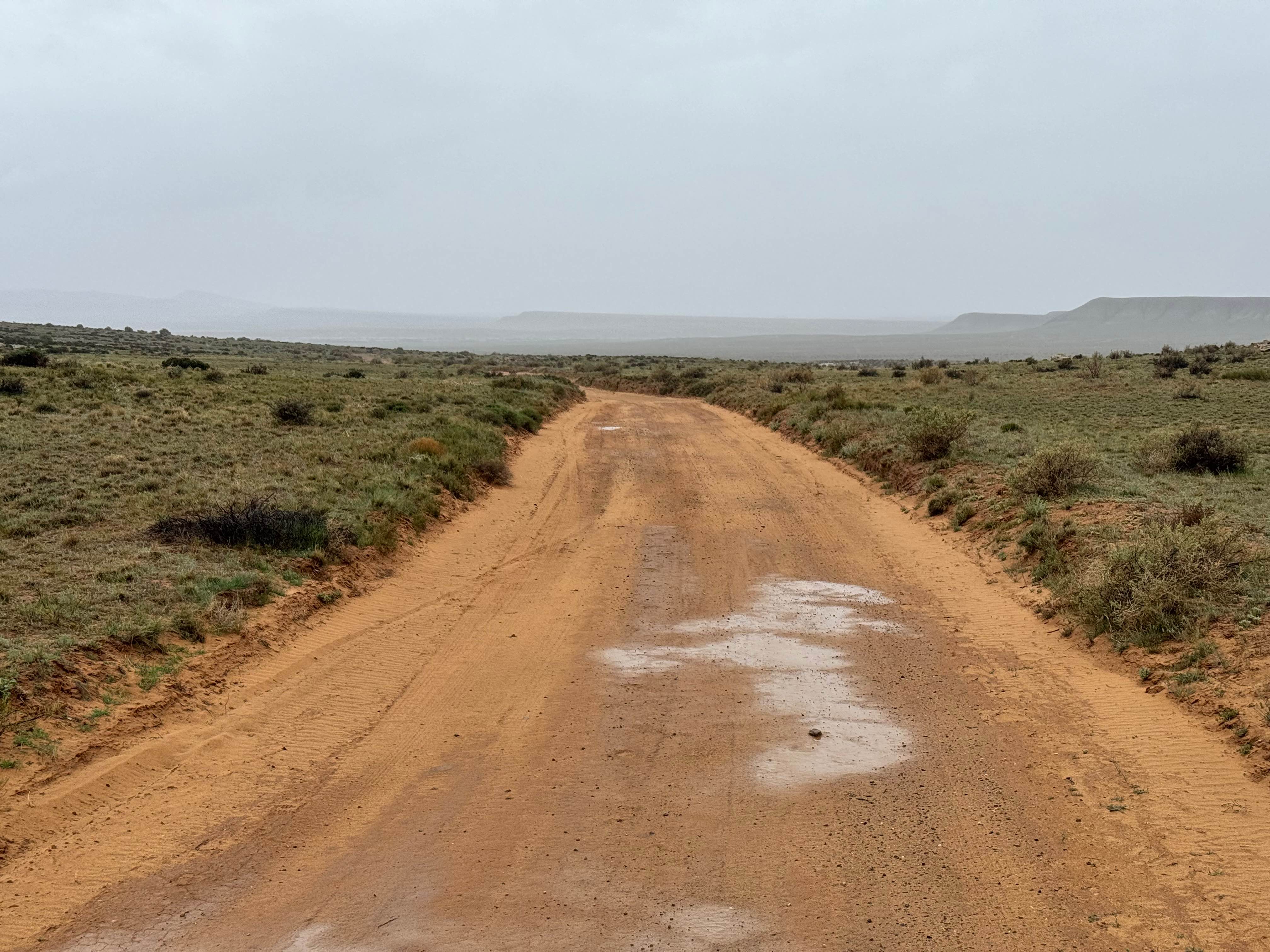
Trail Overview
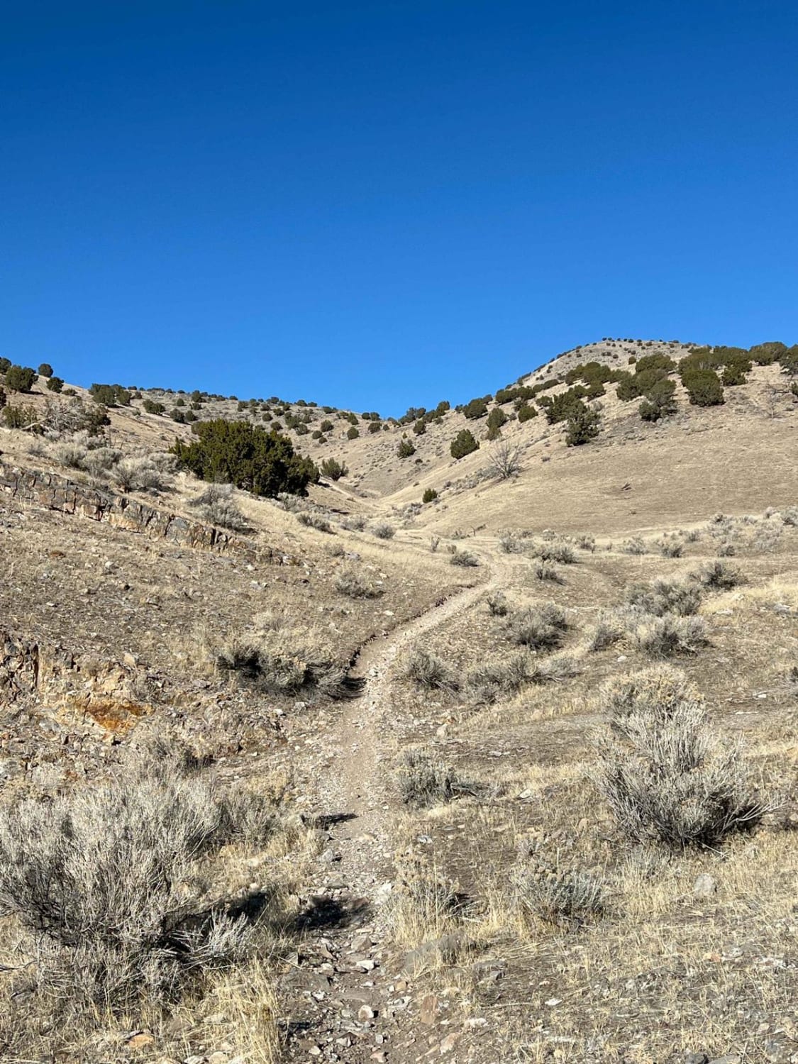
County Road 3469-PST42 is a 2.4-mile point-to-point trail rated 2 of 10 located in Sevier County and managed by the BLM. BLM maps show the trail number to be 3469; however, legacy trail signs denote this trail as 6142. This trail is an all-vehicle portion of the Paiute Side Trail #42 (PST#42). The trail is open for use to licensed street-legal vehicles, motorcycles, ATVs, bicycles, equestrians, and hikers. This is a hard-packed dirt road with some embedded exposed rock in sections. The trail shows signs of infrequent grading and has moderate water damage in spots. There are no major obstacles on the trail. The trail provides an offroad path from Burrville (Bear Valley Road) in the south all the way to Glenwood and Richfield in the north. Many of the trails listed as No Motorized Use on the map have been converted to part of the Paiute Trail System, so it is advisable to check with local authorities on what trails may be open. Cell phone service is intermittent. Fuel options are limited, with most major brand stations available in Richfield along Interstate 70. Trailer parking is available in a lot at the north end of Bear Valley Road (across State Route 24).
Photos of County Road 3469-PST42
Difficulty
County dirt road with infrequent or light maintenance after rain or snow. A high-clearance light-duty 4WD may be required.
History
The Paiute Trail System was established around 1990 in central Utah and developed to create legal riding, curb illegal OHV use, and boost local economies by linking small towns like Marysvale and Circleville. It began with a 250-mile loop created by local enthusiasts and has grown to over 1,000 miles of trails in the Fishlake National Forest and surrounding areas.
Status Reports
County Road 3469-PST42 can be accessed by the following ride types:
- High-Clearance 4x4
- SUV
- SxS (60")
- ATV (50")
- Dirt Bike
County Road 3469-PST42 Map
Popular Trails
Conger Mountain OHV Route 5
Salt Valley Gorge

The onX Offroad Difference
onX Offroad combines trail photos, descriptions, difficulty ratings, width restrictions, seasonality, and more in a user-friendly interface. Available on all devices, with offline access and full compatibility with CarPlay and Android Auto. Discover what you’re missing today!