Bowden Draw Access Trail
Total Miles
0.9
Technical Rating
Best Time
Summer, Spring, Fall
Trail Type
50" Trail
Accessible By
Trail Overview
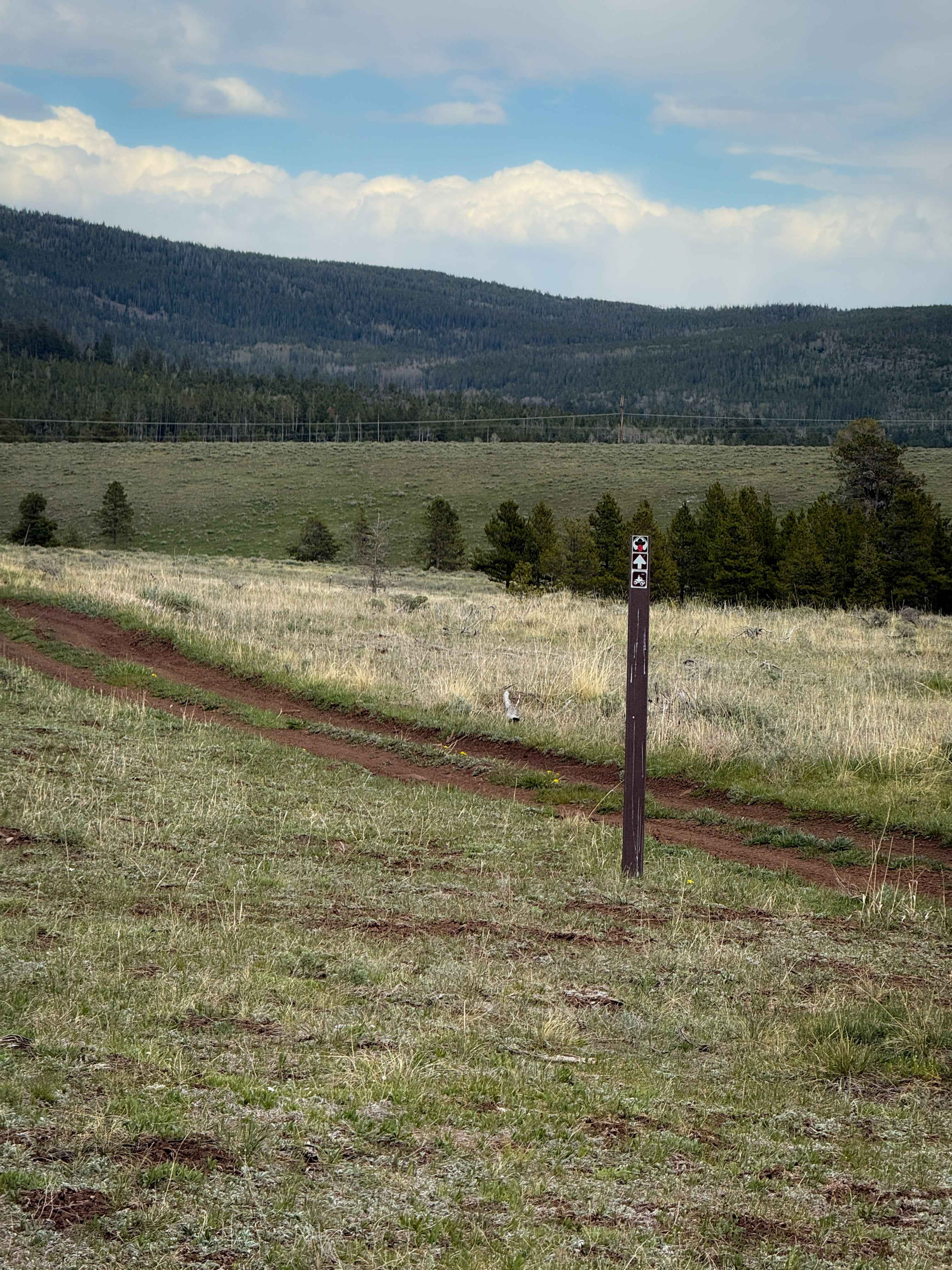
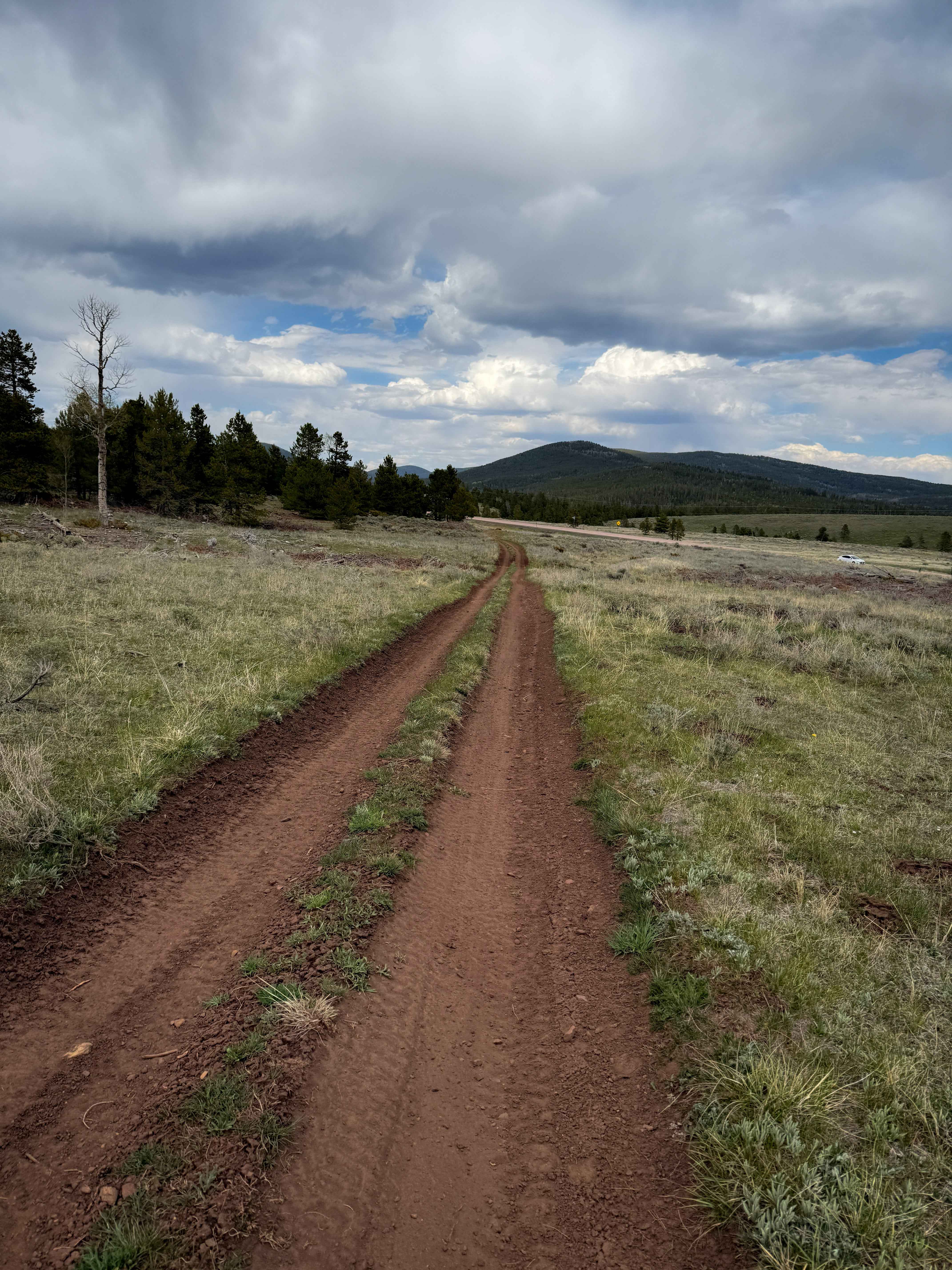
This is a 1-mile section of ATV trail that accesses the trail system on both the east and west sides of US Highway 191, crossing the highway in the middle of the route. It helps connect the trail system on the west side of the highway to the many dispersed campsites and staging areas on the east side of the highway. It is frequently marked with ATV signs to help follow the route. The section of ATV trail on the west side of the highway is just a smooth dirt two-track that goes flat through the grassy meadows, departing from FS 10062 and taking you to the edge of the highway. After crossing the highway, you can turn north onto another two-track that goes up to Green Draw Road, or this trail goes towards Cart Creek and turns south along the creek. It goes down a small hill towards a bridge over the creek, and climbs up towards FS Road 10918. It pops out near several very nice dispersed campsites in large grassy meadows that make for great camping in order to ride this trail system.
Photos of Bowden Draw Access Trail
Difficulty
This is an easy-access trail with minimal technical elements. There are shallow ruts and a couple of semi-steep spots, but mostly just fast and easy, ideal for all skill levels.
Status Reports
Bowden Draw Access Trail can be accessed by the following ride types:
- ATV (50")
- Dirt Bike
Bowden Draw Access Trail Map
Popular Trails
Toquerville Falls
The Chute - Matt's Big Mistake
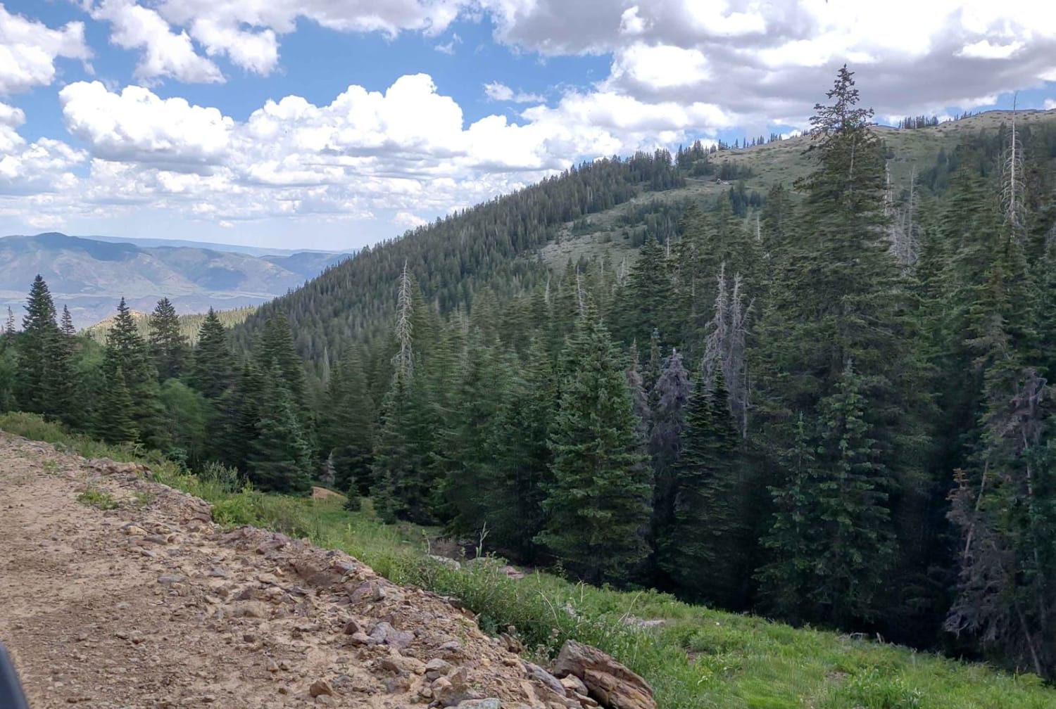
Revenue Gulch - Bullion/Wedge Road
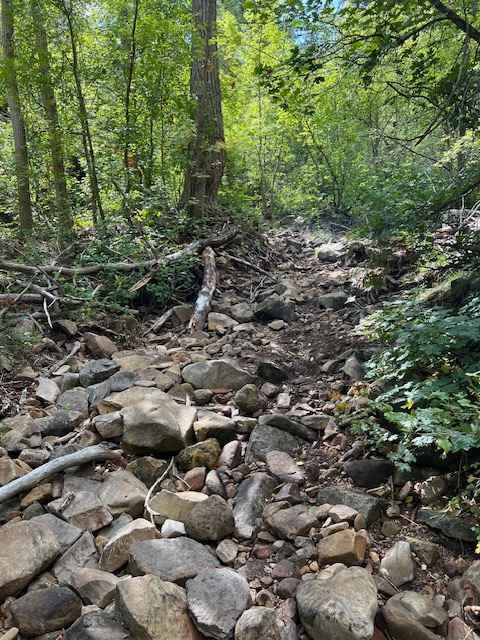
Left Fork Days Canyon (8011)
The onX Offroad Difference
onX Offroad combines trail photos, descriptions, difficulty ratings, width restrictions, seasonality, and more in a user-friendly interface. Available on all devices, with offline access and full compatibility with CarPlay and Android Auto. Discover what you’re missing today!