Augar Road
Total Miles
3.3
Technical Rating
Best Time
Spring, Summer, Fall, Winter
Trail Type
Full-Width Road
Accessible By
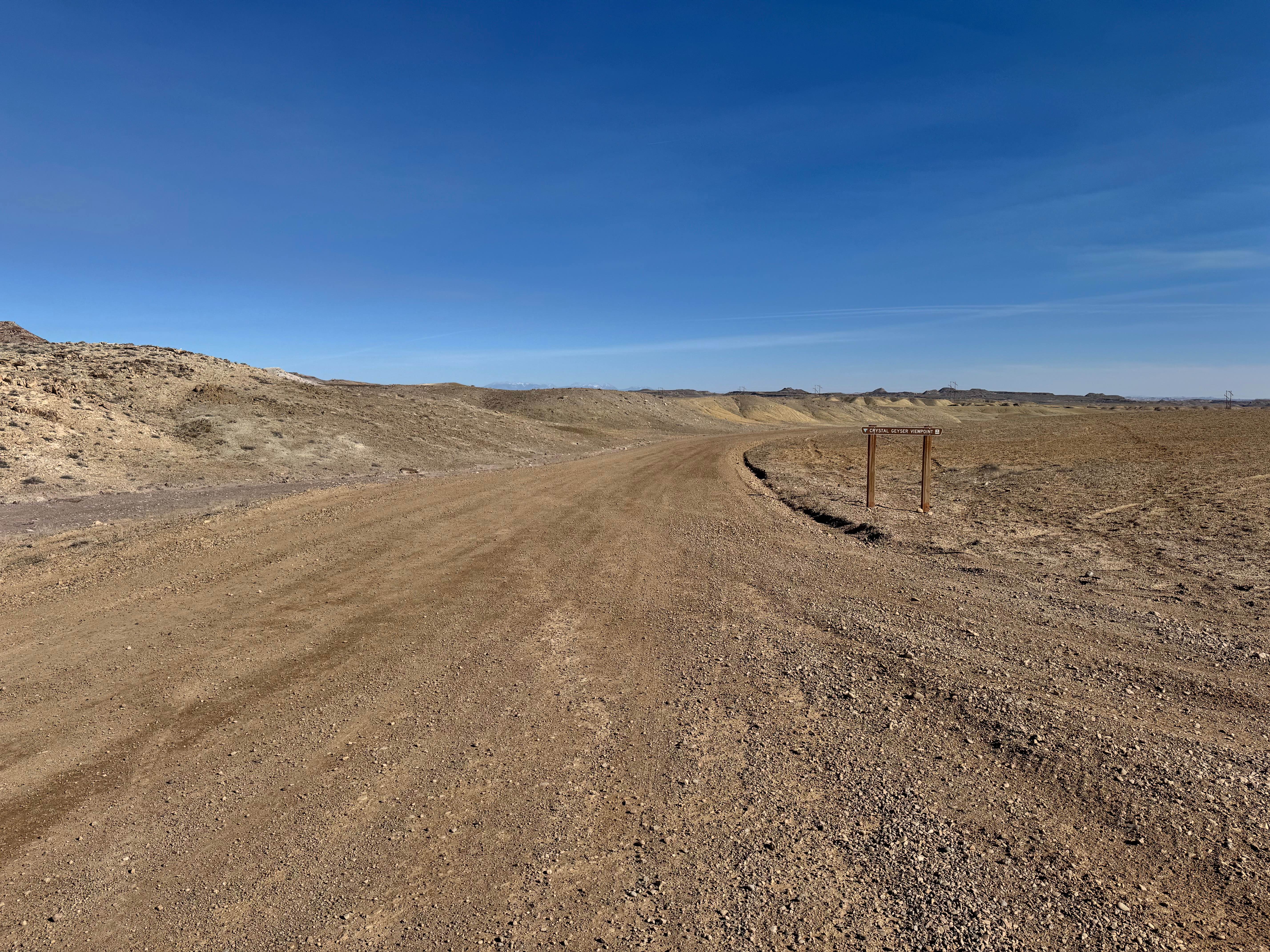
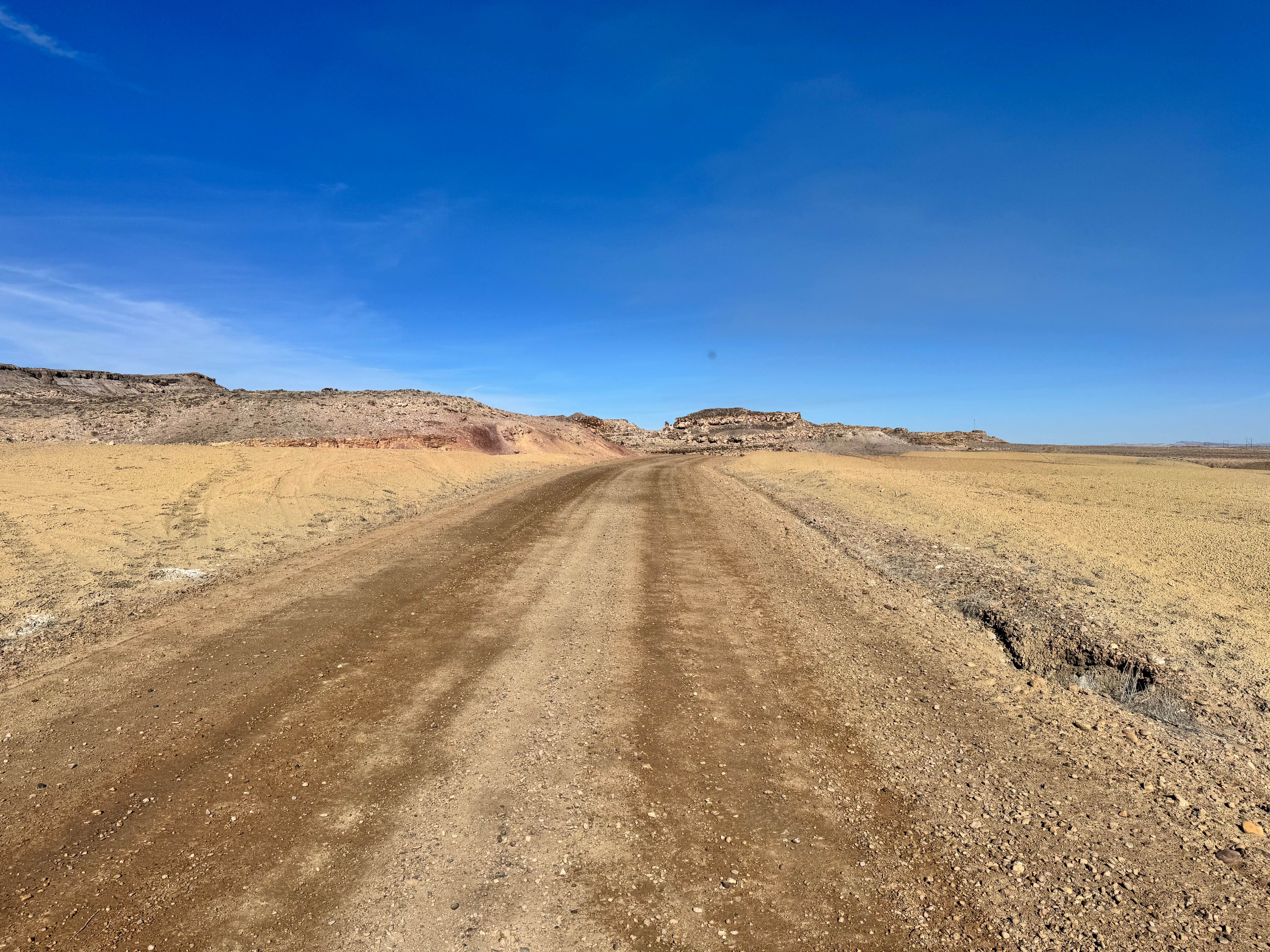
Trail Overview
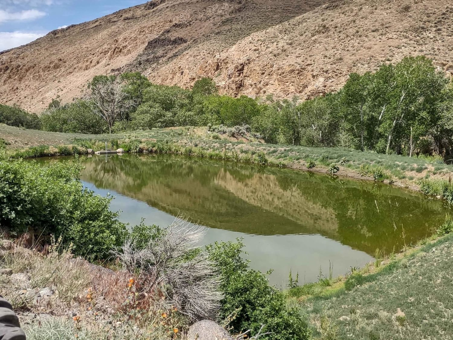
Augar Road is an easy and practical gravel route near Green River, Utah, offering riverside camping and a unique alternate view of Crystal Geyser from across the Green River. This route is wide enough for two vehicles to pass the entire way comfortably, making it a relaxed drive for most vehicles in dry conditions. Along the route, you'll pass the local gravel pit, so be prepared for heavy equipment or work traffic. Several large pullout areas and open dirt flats provide additional camping opportunities before reaching the end of the road. The main destination is a dispersed campsite near the river with level ground, an established fire ring, and better protection from the strong winds common in this region. From the overlook, enjoy views of the Green River and look across the water to spot signs of past uranium mining activity. Watch for free-roaming cattle, as open ranching takes place throughout the area.
Photos of Augar Road
Difficulty
Augar Road is a wide, semi-maintained gravel road with no major obstacles, steep climbs, or technical sections. Two vehicles can pass each other the entire route, making it one of the easier access roads in the area. Watch for cattle, loose gravel, and occasional heavy equipment near the gravel pit.
History
The road primarily serves industrial and recreational access, including the local gravel pit and river campsites. Across the river, remnants of past uranium exploration and mining can still be seen, reflecting the broader mining history that shaped much of eastern Utah.
Status Reports
Augar Road can be accessed by the following ride types:
- High-Clearance 4x4
- SUV
- SxS (60")
- ATV (50")
- Dirt Bike
Augar Road Map
Popular Trails
McMIllan Springs Road
Rock Garden

Manning Creek Canyon (FS# 42000)
The onX Offroad Difference
onX Offroad combines trail photos, descriptions, difficulty ratings, width restrictions, seasonality, and more in a user-friendly interface. Available on all devices, with offline access and full compatibility with CarPlay and Android Auto. Discover what you’re missing today!