FS 239
Total Miles
0.9
Technical Rating
Best Time
Spring, Summer, Fall, Winter
Trail Type
Full-Width Road
Accessible By
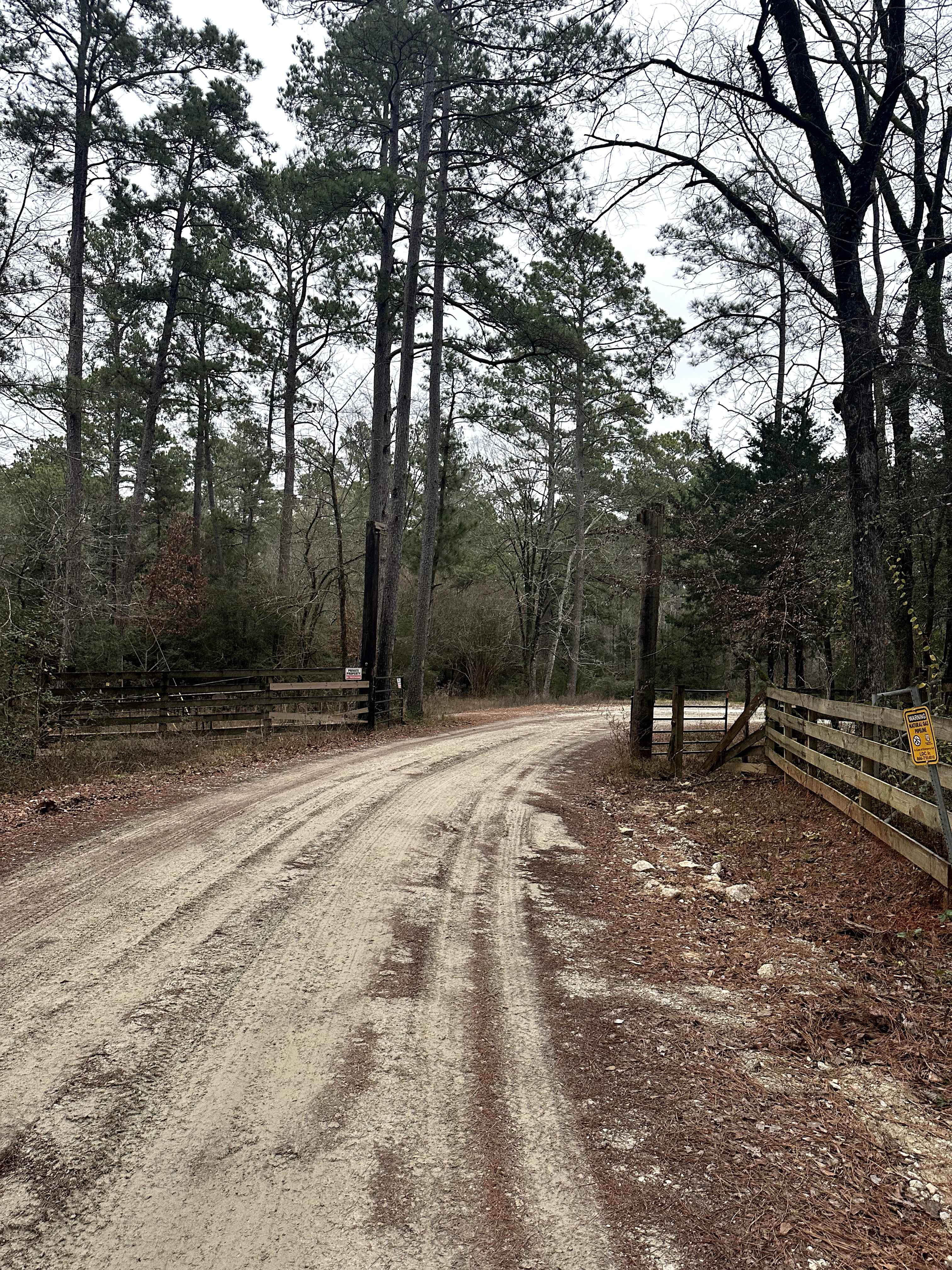
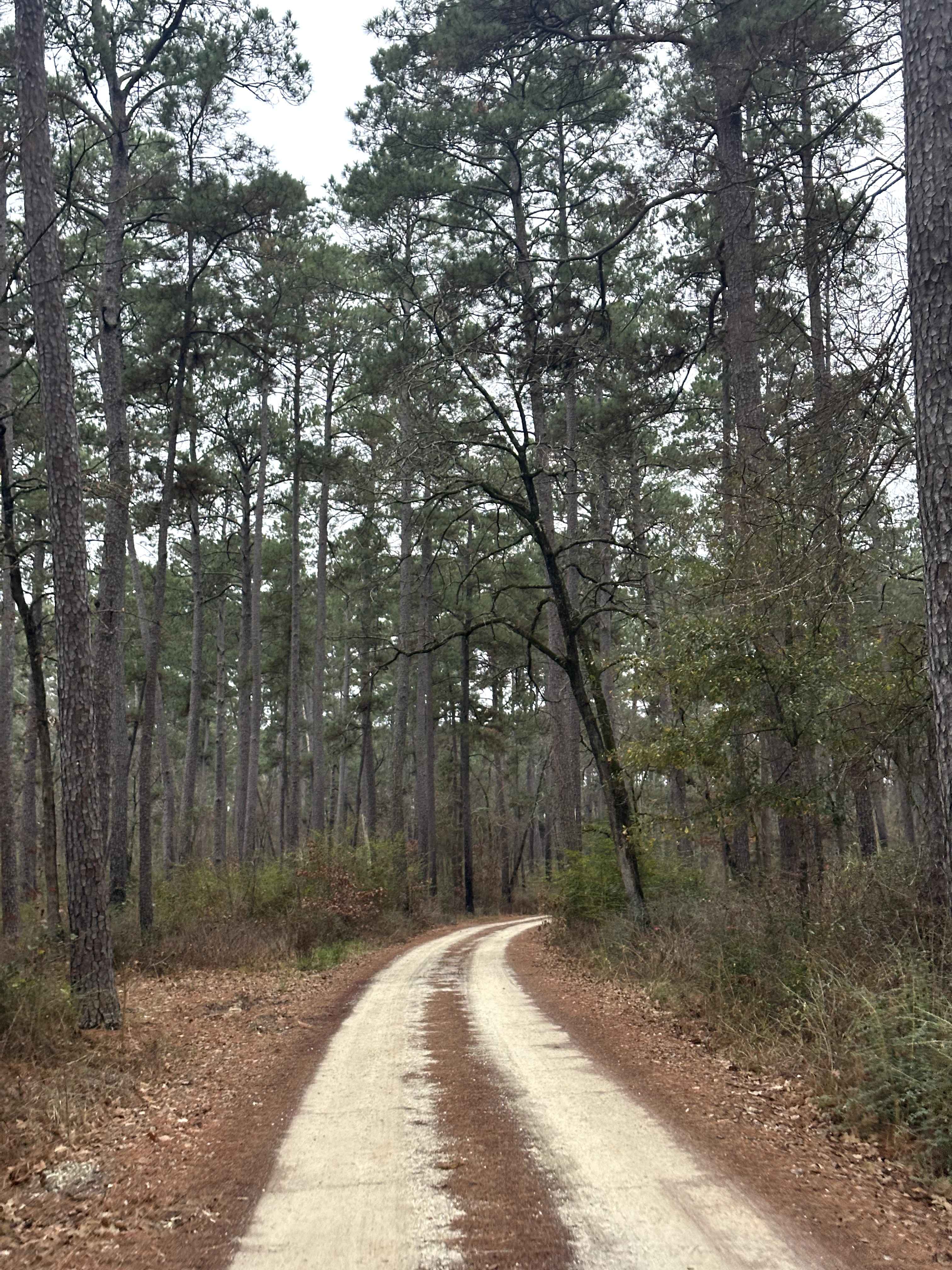
Trail Overview
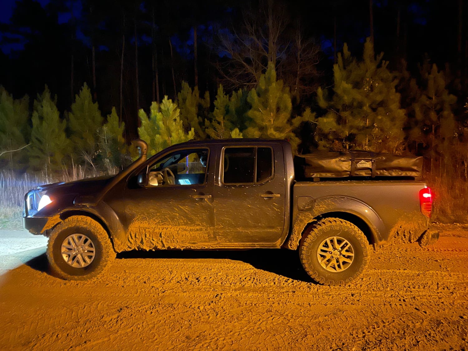
FS 239 is a Forest Service road that travels through an actively managed section of Sam Houston National Forest. The surface is primarily dirt with intermittent gravel and uneven sections influenced by regular use and weather. One small clearing is located along the route, offering a limited option for primitive dispersed camping where permitted. This road runs through an area with ongoing commercial forest operations, and drivers should expect occasional heavy equipment, logging traffic, and changing road conditions. In dry conditions, most high-clearance vehicles can navigate the route without issue, though caution is advised around active work zones. Expect limited cell service and no services along the road.
Photos of FS 239
Difficulty
This route is rated Easy due to its generally stable dirt-and-gravel surface and lack of technical obstacles. It is typically passable for most high-clearance vehicles in dry conditions. However, commercial forestry activity may temporarily affect road conditions, so reduced speeds and caution are recommended in active work areas.
Status Reports
FS 239 can be accessed by the following ride types:
- High-Clearance 4x4
- SUV
FS 239 Map
Popular Trails

Jeepy Hollow
Twist and Shout
Texas Traverse Bypass
The onX Offroad Difference
onX Offroad combines trail photos, descriptions, difficulty ratings, width restrictions, seasonality, and more in a user-friendly interface. Available on all devices, with offline access and full compatibility with CarPlay and Android Auto. Discover what you’re missing today!