Trail G20
Total Miles
2.6
Technical Rating
Best Time
Spring, Summer, Fall, Winter
Trail Type
Full-Width Road
Accessible By
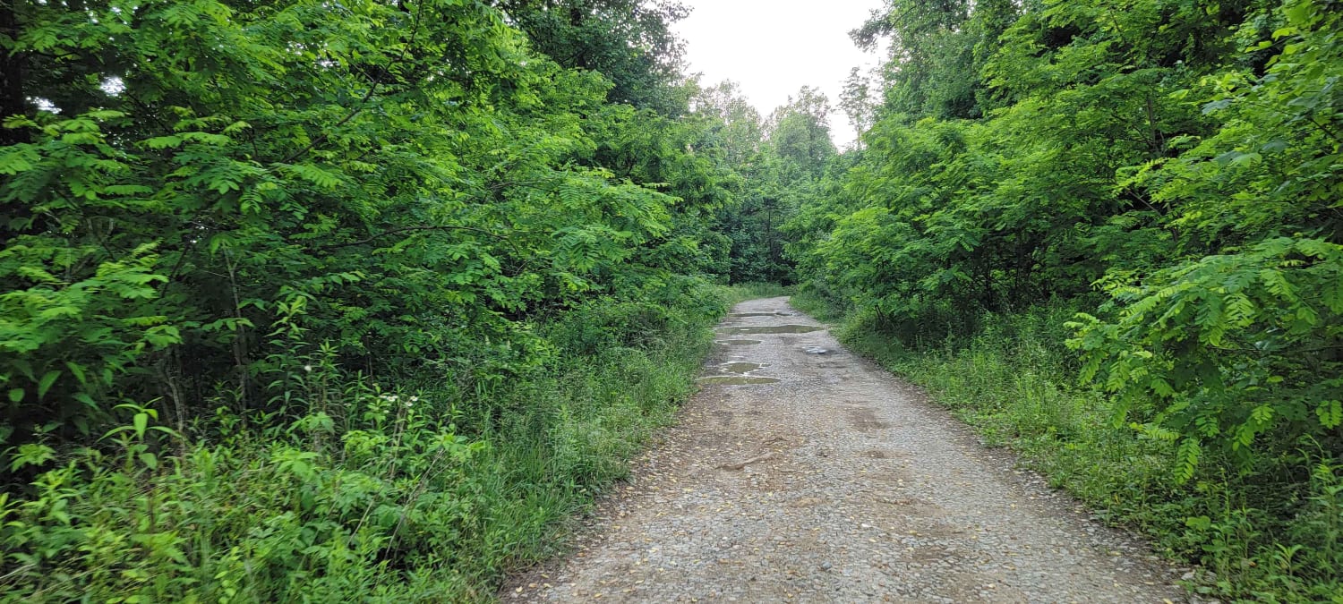
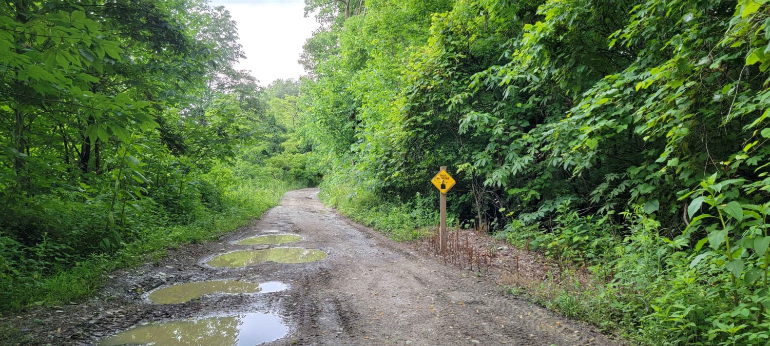
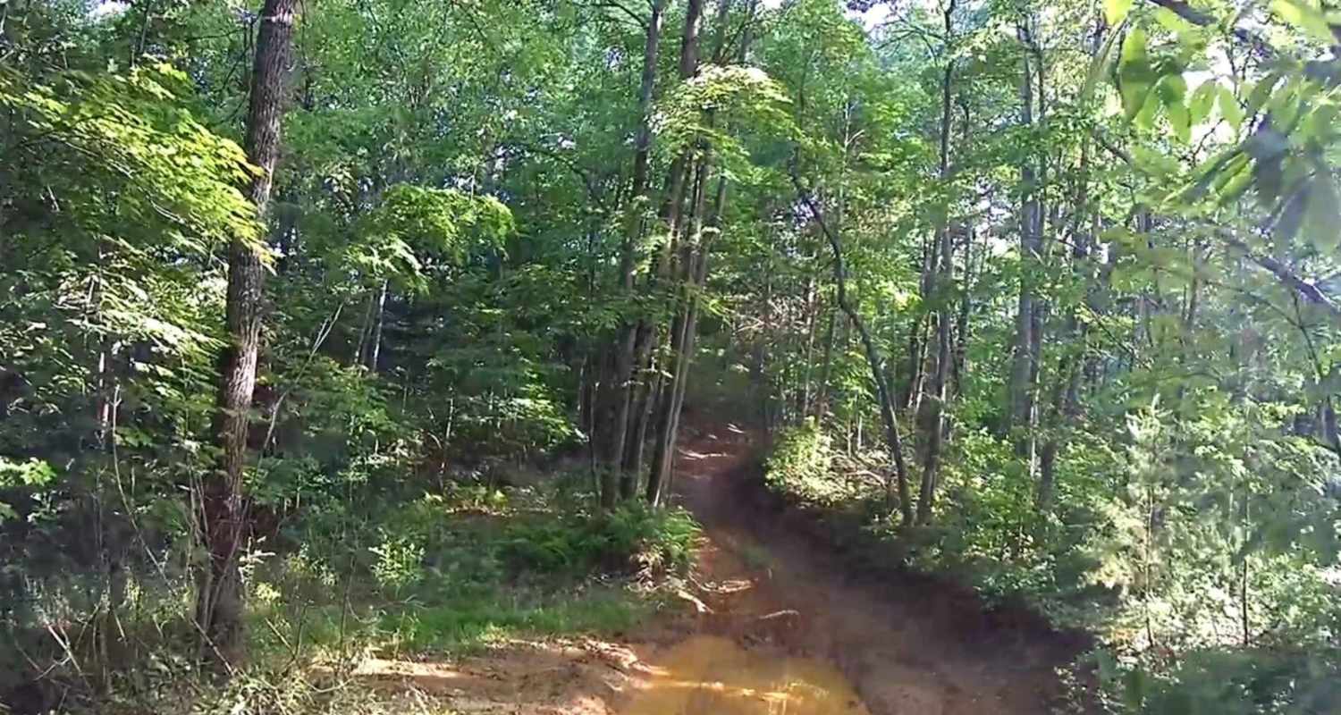
Trail Overview
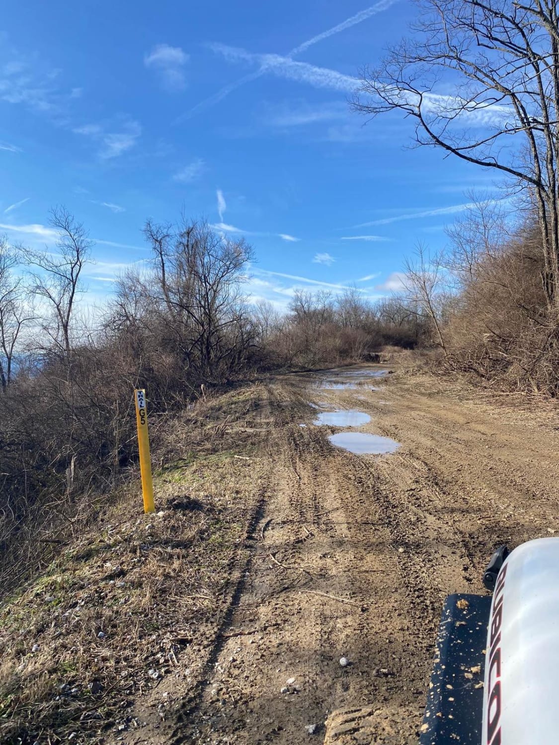
G20 is a connector trail from G2. This trail gives access to trail 4,19, and G37. The trail is a gravel roadway with shallow mud holes and blind curves on the trail with steep drop offs on the sides of the roadway. Roadway is only one lane wide.
Photos of Trail G20
Difficulty
No challenges on this trail.
Status Reports
Trail G20 can be accessed by the following ride types:
- High-Clearance 4x4
- SUV
- SxS (60")
- ATV (50")
- Dirt Bike
Trail G20 Map
Popular Trails
Rich Mountain Summit

George Watson Road
The onX Offroad Difference
onX Offroad combines trail photos, descriptions, difficulty ratings, width restrictions, seasonality, and more in a user-friendly interface. Available on all devices, with offline access and full compatibility with CarPlay and Android Auto. Discover what you’re missing today!