Citico Creek South
Total Miles
1.8
Technical Rating
Best Time
Fall
Trail Type
Full-Width Road
Accessible By
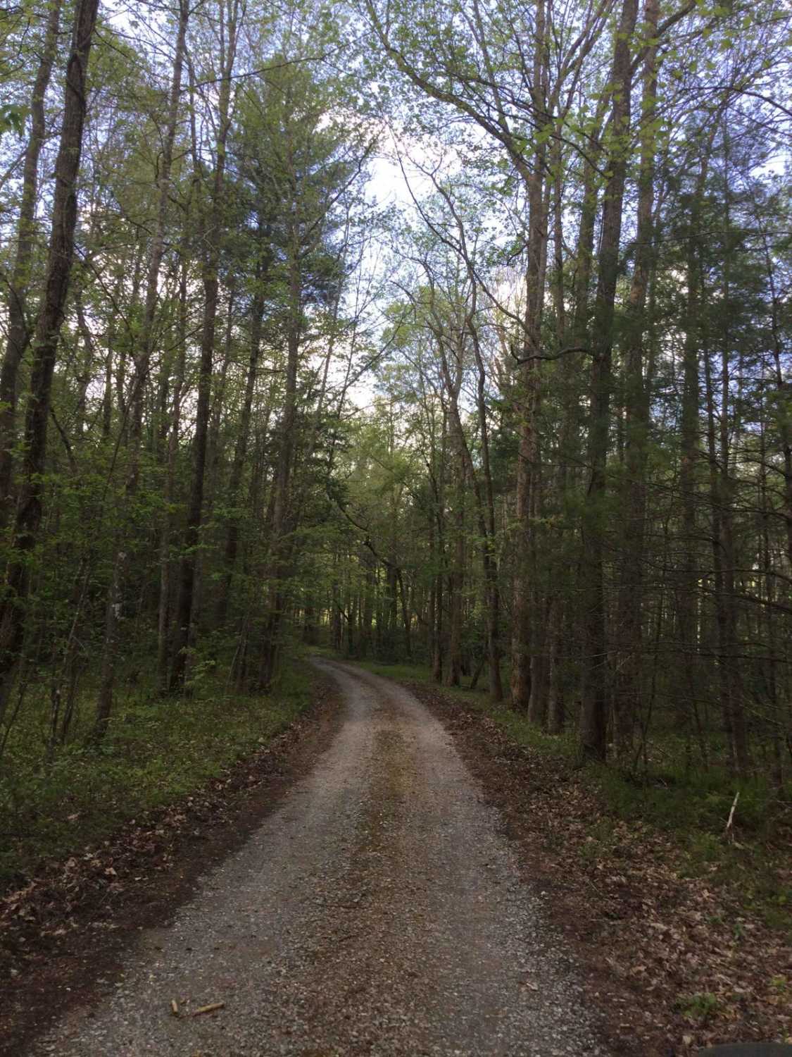
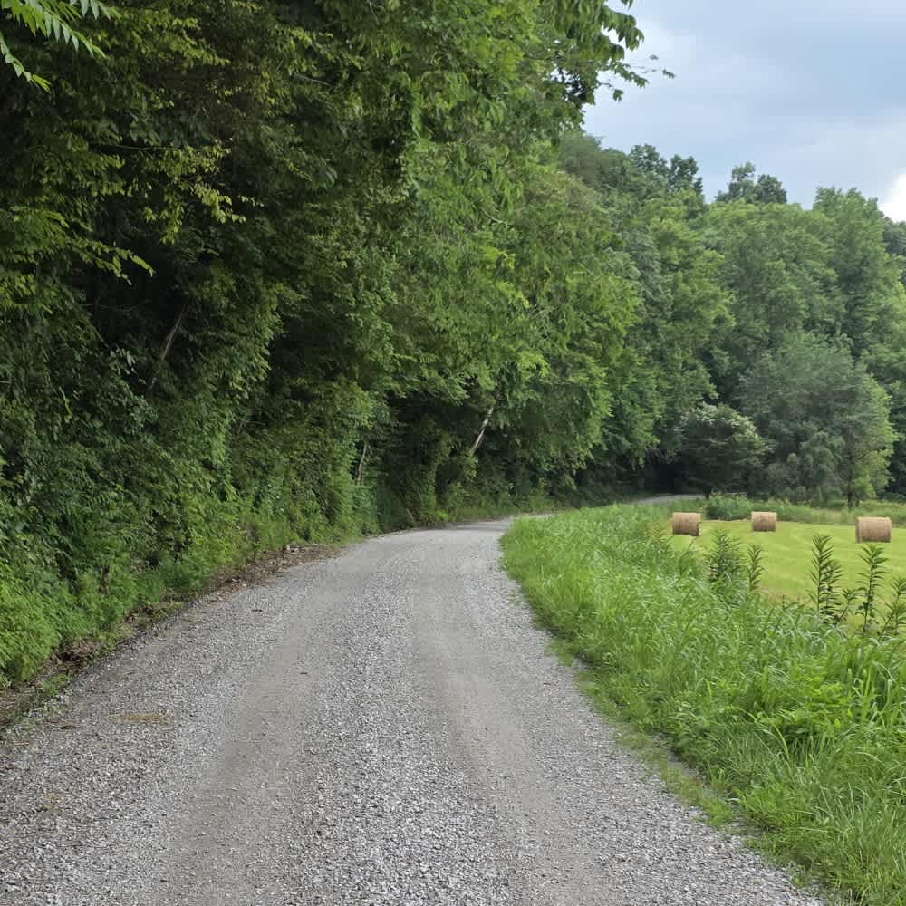
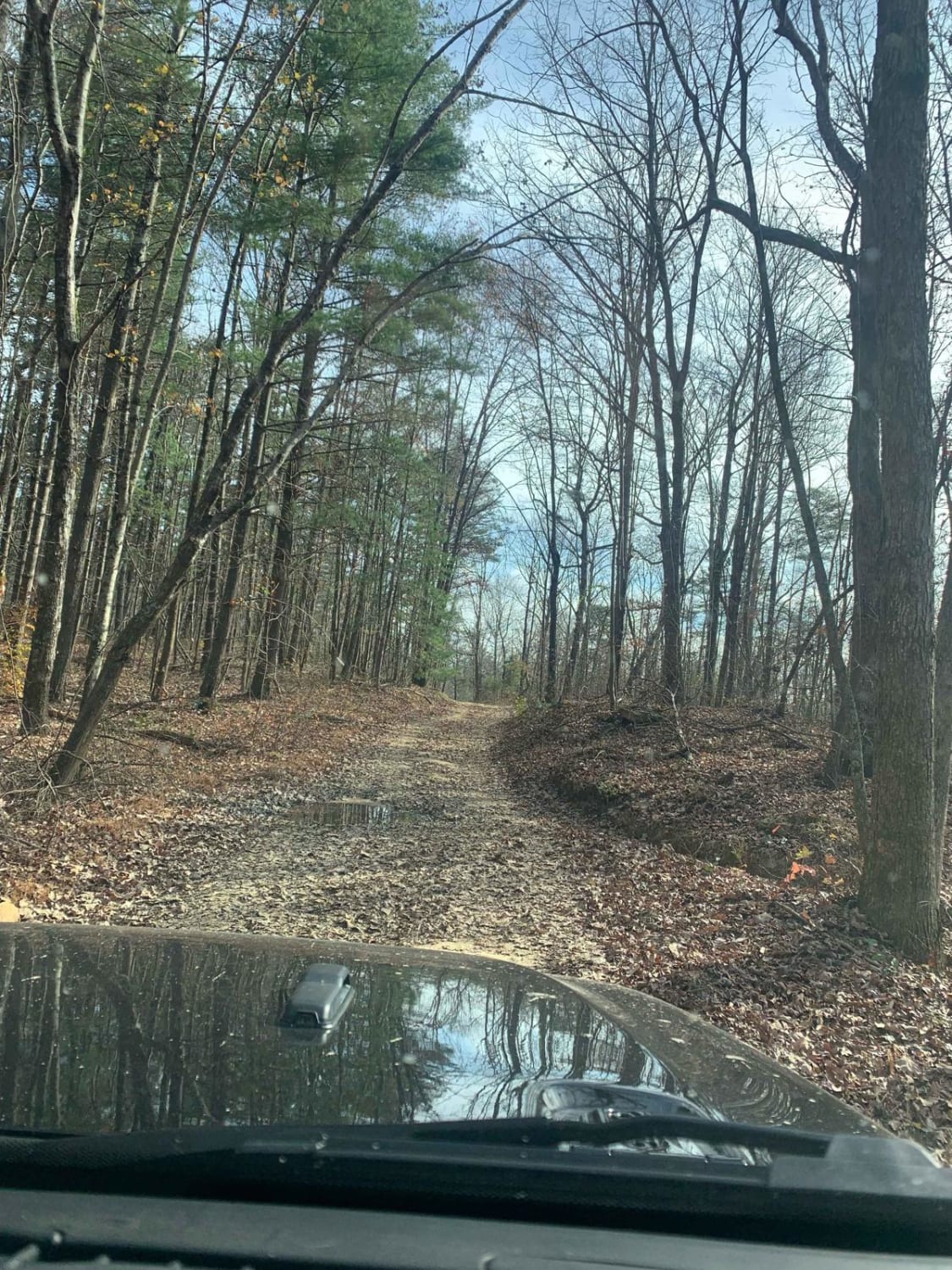
Trail Overview
Citico Creek South (35) is a maintained gravel road that intersects with Indian Boundary Road from the east, Rafter Road in the middle, and turns into Turkey Creek Road from the west. There may be a few potholes, ruts, or downed trees along the way, but it can be traveled by any high clearance 2WD or 4WD vehicle. This road can access the scenic Cherohala Skyway, the Indian Boundary recreation area, and campground.
Photos of Citico Creek South

Difficulty
Gravel road
Status Reports
Citico Creek South can be accessed by the following ride types:
- High-Clearance 4x4
- SUV
Citico Creek South Map
Popular Trails
Knight Road - Macon County Tour
Dry Branch Road


Laurel Mountain / White Rock
The onX Offroad Difference
onX Offroad combines trail photos, descriptions, difficulty ratings, width restrictions, seasonality, and more in a user-friendly interface. Available on all devices, with offline access and full compatibility with CarPlay and Android Auto. Discover what you’re missing today!