Woodall Shoals - Road 757
Total Miles
2.3
Technical Rating
Best Time
Spring, Summer, Fall, Winter
Trail Type
Full-Width Road
Accessible By
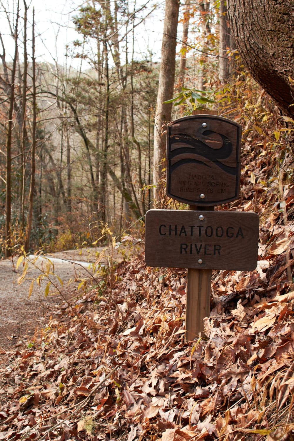
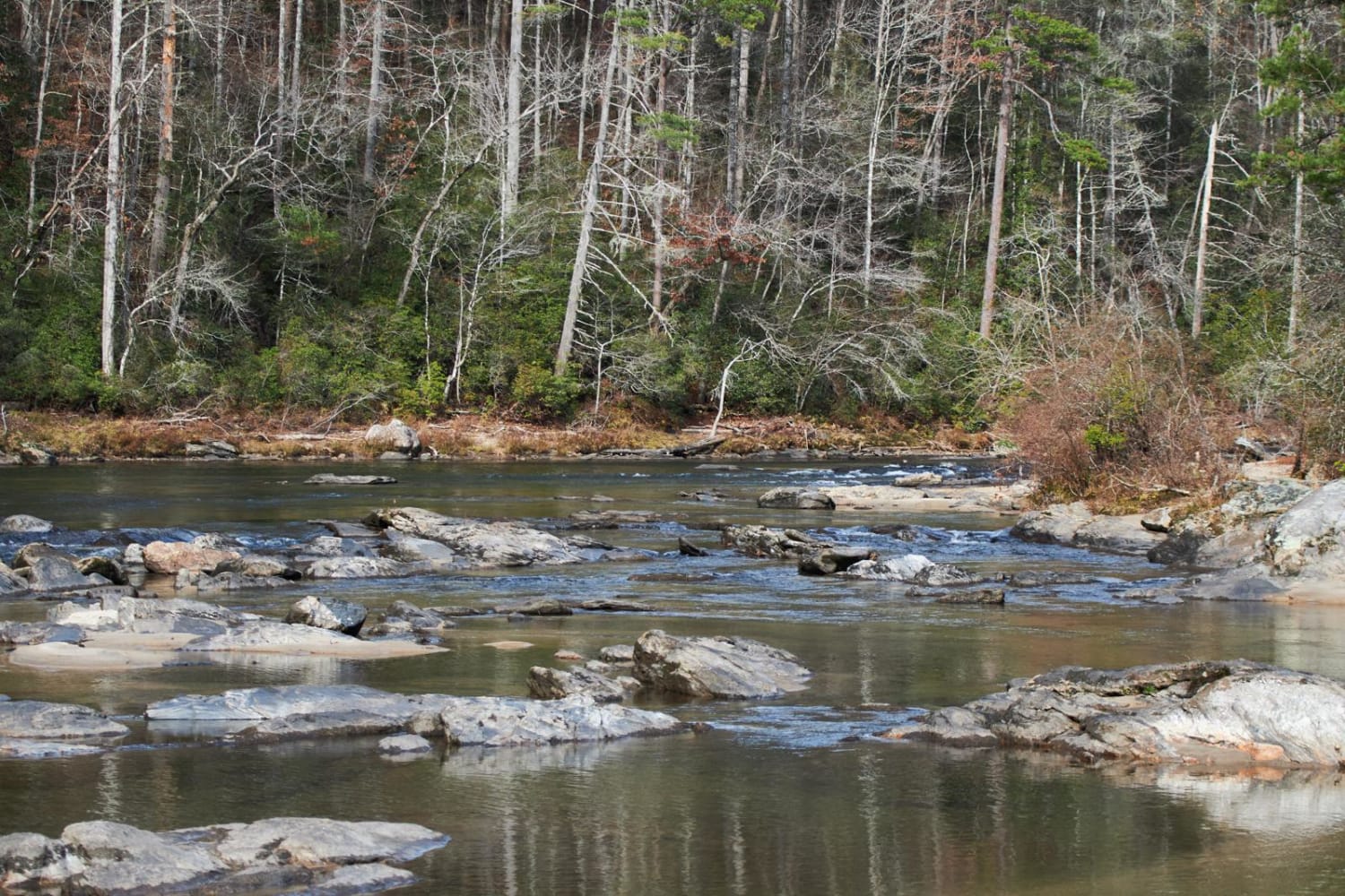
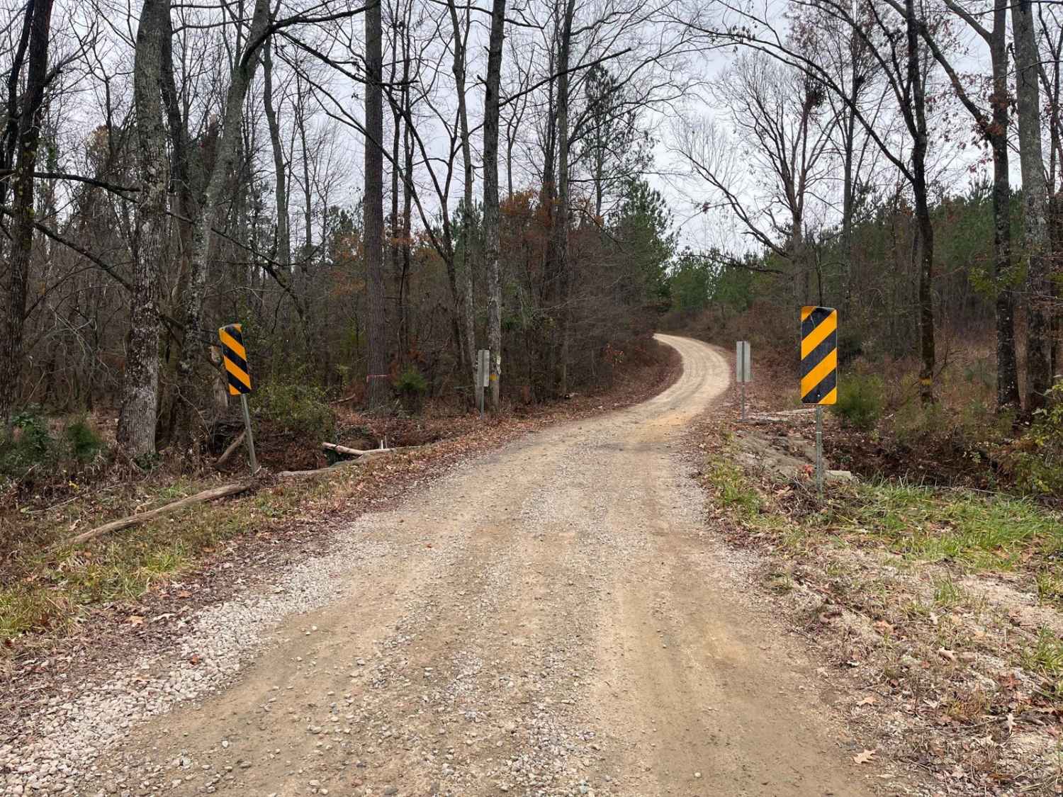
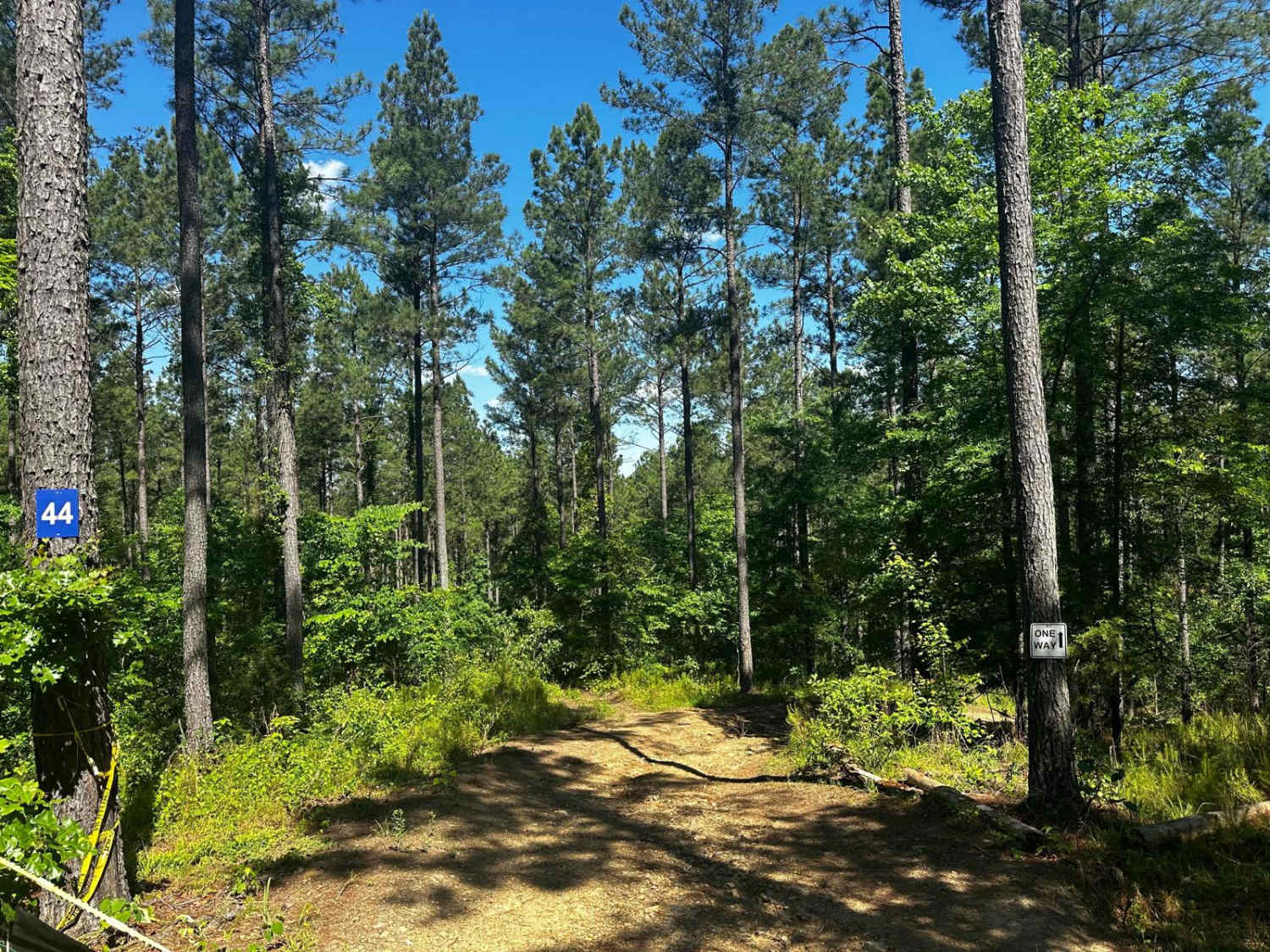
Trail Overview
This trail leading to Woodall Shoals is the second-to-last rafting takeout along the Chattooga River. This maintained gravel road leads to the trailhead that leads to a perfect location to cool off in an Appalachian Mountain river. Make sure to only swim in the pools! Currents are very swift and known to be deadly! This location gets popular and crowded during the summer season.
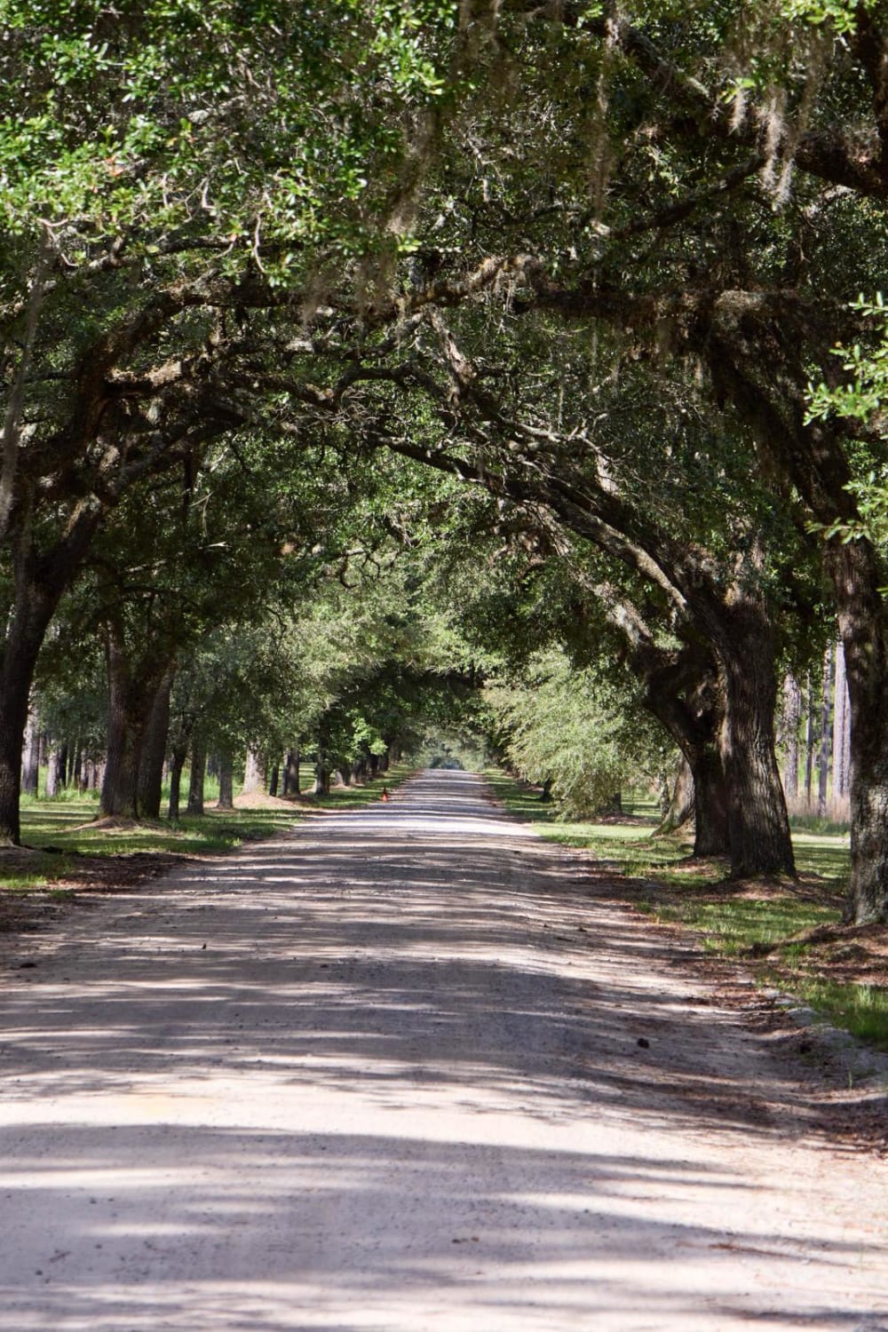
Photos of Woodall Shoals - Road 757
Difficulty
This is a maintained gravel road. There's heavy traffic during summer months due to kayakers and rafting shuttle busses.
Woodall Shoals - Road 757 can be accessed by the following ride types:
- High-Clearance 4x4
- SUV
- SxS (60")
- ATV (50")
- Dirt Bike
Woodall Shoals - Road 757 Map
Popular Trails
Round Up Road
Long Cane - SCAR Alternate
Bluff Lake Access
The onX Offroad Difference
onX Offroad combines trail photos, descriptions, difficulty ratings, width restrictions, seasonality, and more in a user-friendly interface. Available on all devices, with offline access and full compatibility with CarPlay and Android Auto. Discover what you’re missing today!