Long Cane - SCAR Alternate
Total Miles
10.1
Technical Rating
Best Time
Spring, Summer, Fall, Winter
Trail Type
Full-Width Road
Accessible By
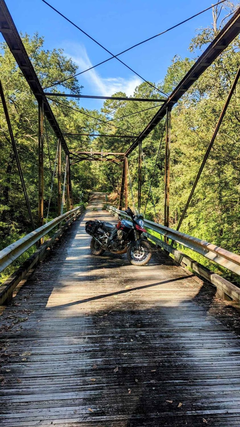
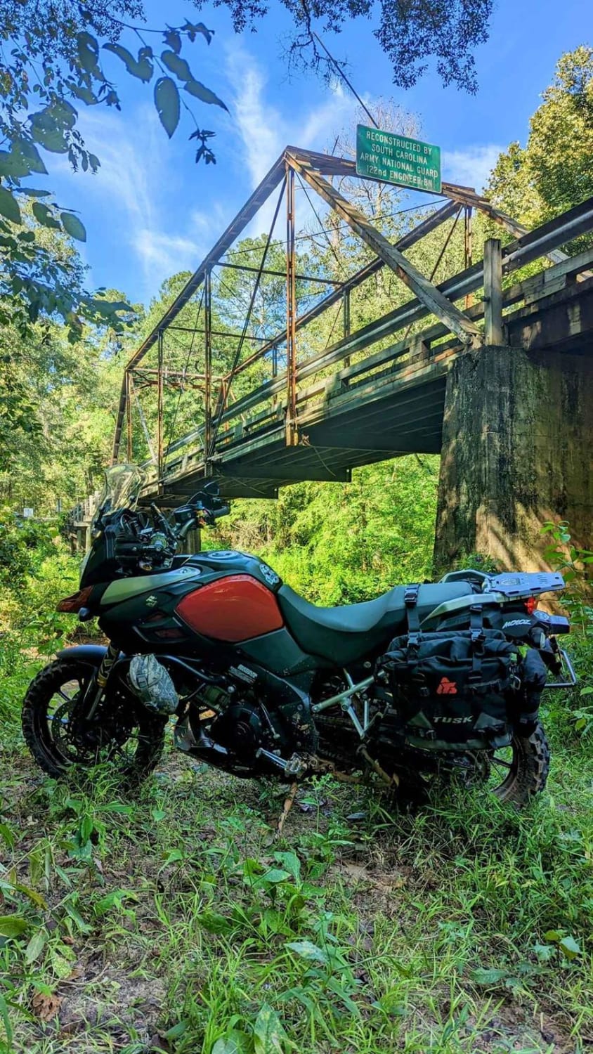
Trail Overview
This section of the South Carolina Adventure Route is northwest of McCormick. It's a heavily wooded section composed of gravel over clay with a high crown on the road, and a relaxing drive in typical conditions. It passes two sites of historical interest: the Long Cane Massacre site and Long Cane Creek Bridge.About the SCAR - The South Carolina Adventure Route loops through approximately 1,000 miles of rural South Carolina. Along this route, you'll enjoy the Blue Ridge Mountains, the Atlantic Ocean, diverse forests, cotton fields, state parks, historical sites, and quaint towns. The SCAR also connects to the Smokey Mountains 500, the Georgia Traverse, and the Trans-America Trail (TAT), providing riders on those trails with a scenic route to the Atlantic coast at Edisto Beach. The roads along the SCAR are a mix of pavement and dirt, 60% and 40% respectively, with the surface alternating between gravel, dirt, clay, and sand. The route is not exceptionally technical, but dry conditions can leave the sandy roads loose, while wet conditions can leave the mud and clay roads slick and rutted. Travelers should expect to encounter deep sand and sizable mud holes in the worst conditions.
Photos of Long Cane - SCAR Alternate
Difficulty
Composed of gravel over clay with a high crown on the road
Status Reports
Long Cane - SCAR Alternate can be accessed by the following ride types:
- High-Clearance 4x4
- SUV
Long Cane - SCAR Alternate Map
Popular Trails

Coordesville - FSR 130

County Line Road
The onX Offroad Difference
onX Offroad combines trail photos, descriptions, difficulty ratings, width restrictions, seasonality, and more in a user-friendly interface. Available on all devices, with offline access and full compatibility with CarPlay and Android Auto. Discover what you’re missing today!