Parsons Mtn OHV
Total Miles
10.8
Technical Rating
Best Time
Trail Type
50" Trail
Accessible By

Trail Overview
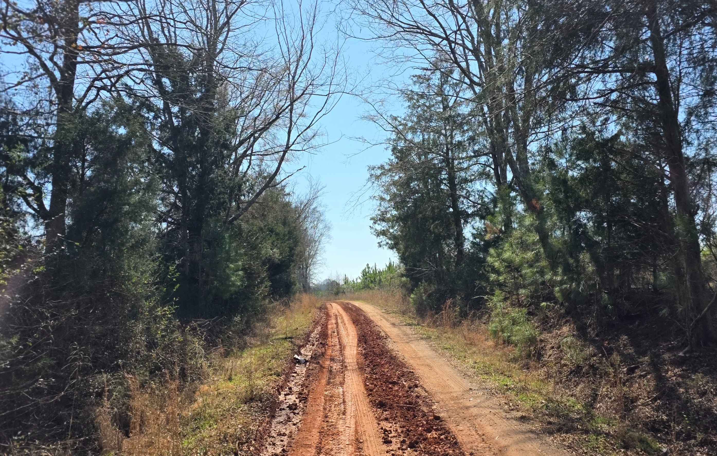
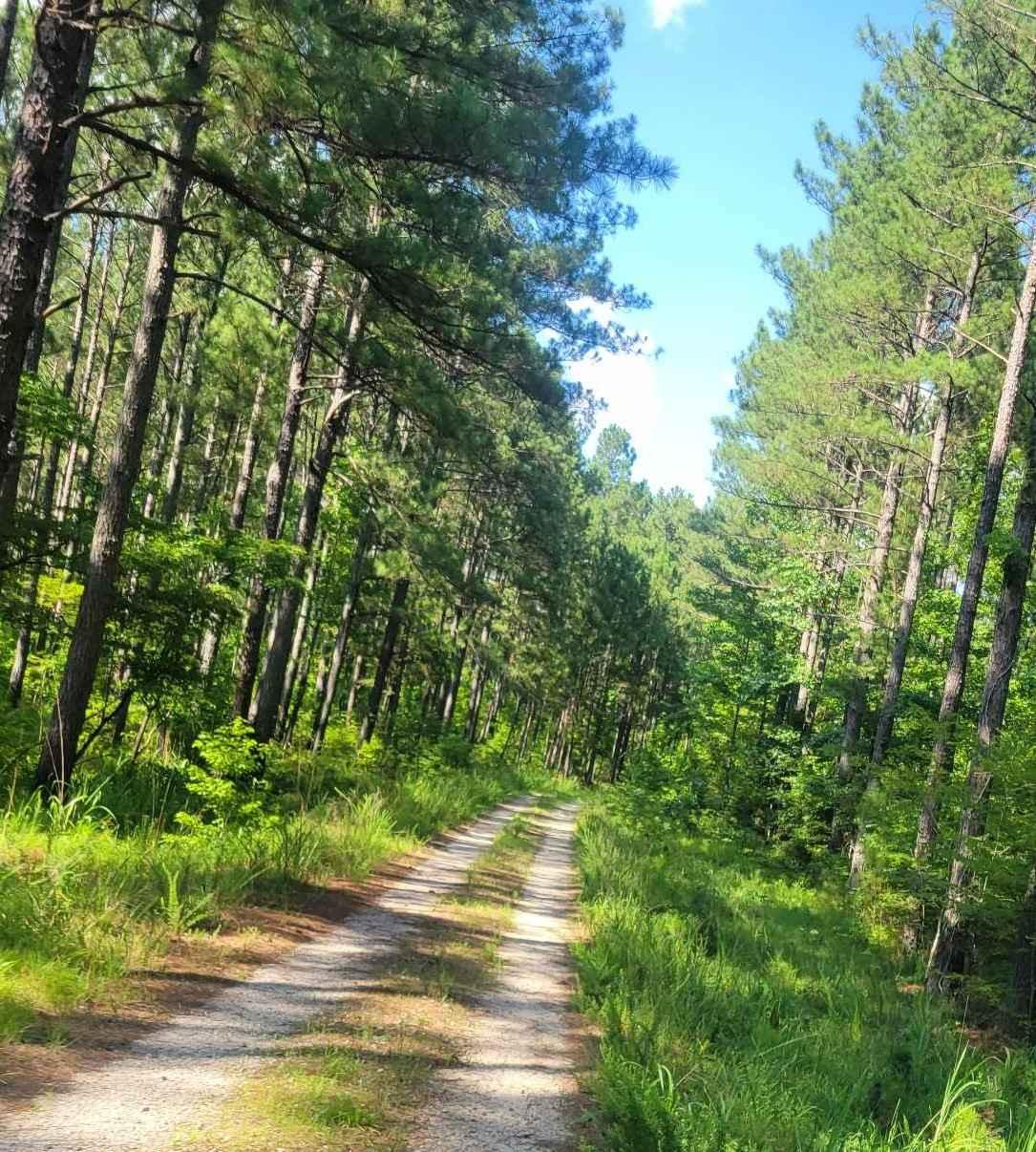
Parsons Mountain OHV Trail is a well-maintained forest trail system suited for ATV riders, dirt bikes, and side-by-sides looking for a manageable ride with variable conditions that can quickly become more technical after rain. Located within Sumter National Forest near Abbeville and McCormick County, this trail network runs through rolling terrain with a mix of hard-packed dirt, clay soil, and scattered loose rock, creating a moderately difficult trail. The route features gradual elevation changes, shallow ruts, and occasional mud holes, with clay-heavy sections becoming slick and traction-limited when wet. The trail is designed strictly for OHV use, excluding full-size 4x4 vehicles. Riders should expect a remote forest environment with limited signage in some areas, making route awareness important, especially at intersections and less-defined segments. Blind corners and two-way traffic are common throughout the system. The trail remains open year-round under normal conditions but is subject to temporary closures following heavy rainfall to prevent surface damage, so checking current status with the U.S. Forest Service is necessary before planning a trip. A valid OHV permit is required for access, and users should be prepared for changing trail conditions, particularly in shaded or low-lying areas where moisture lingers longer and erosion can deepen existing ruts.
Status Reports
Parsons Mtn OHV can be accessed by the following ride types:
- ATV (50")
- Dirt Bike
Parsons Mtn OHV Map
Popular Trails
Warner Road
Pearl Branch Road (611)
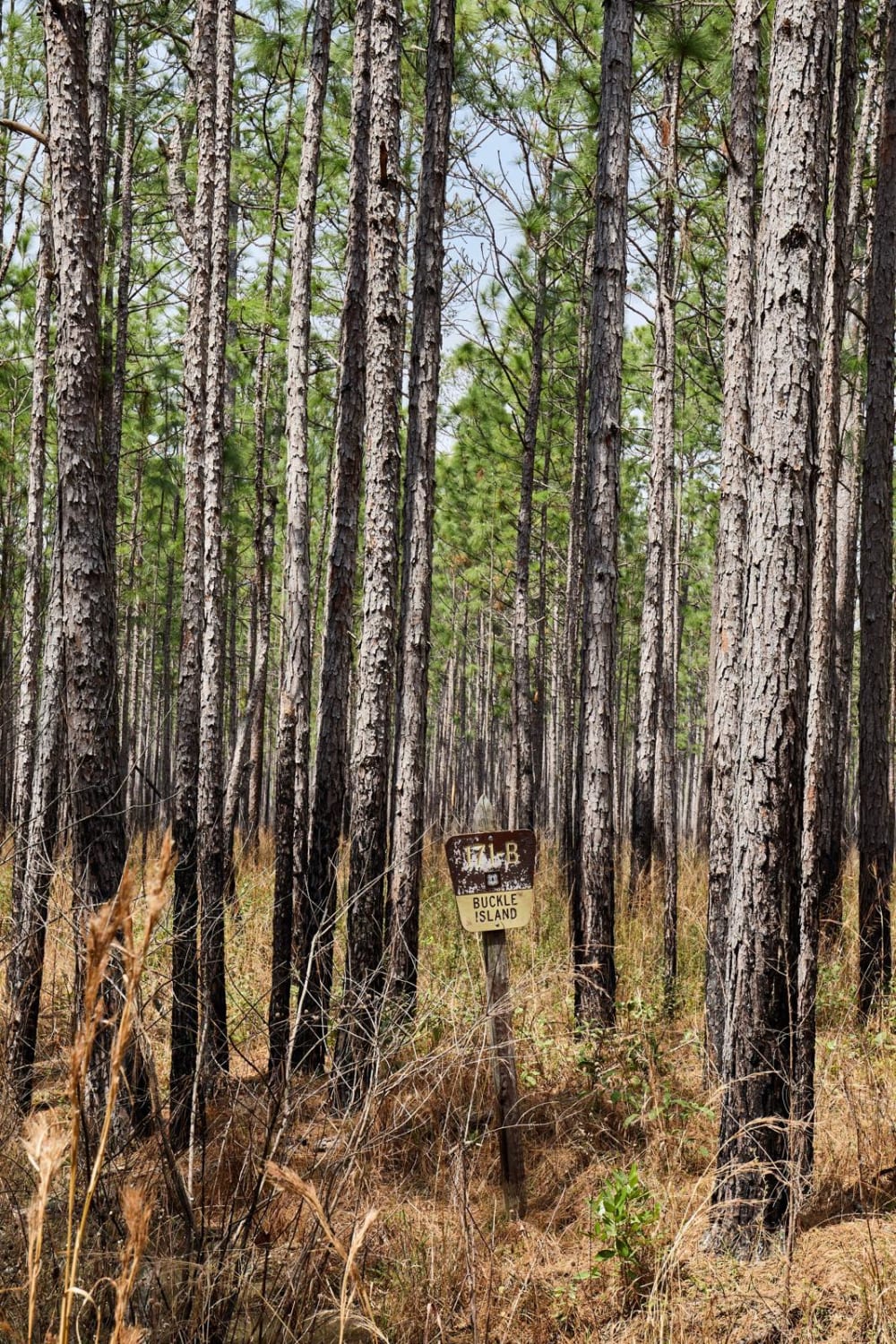
Buckle Island Alternative - FSR171b
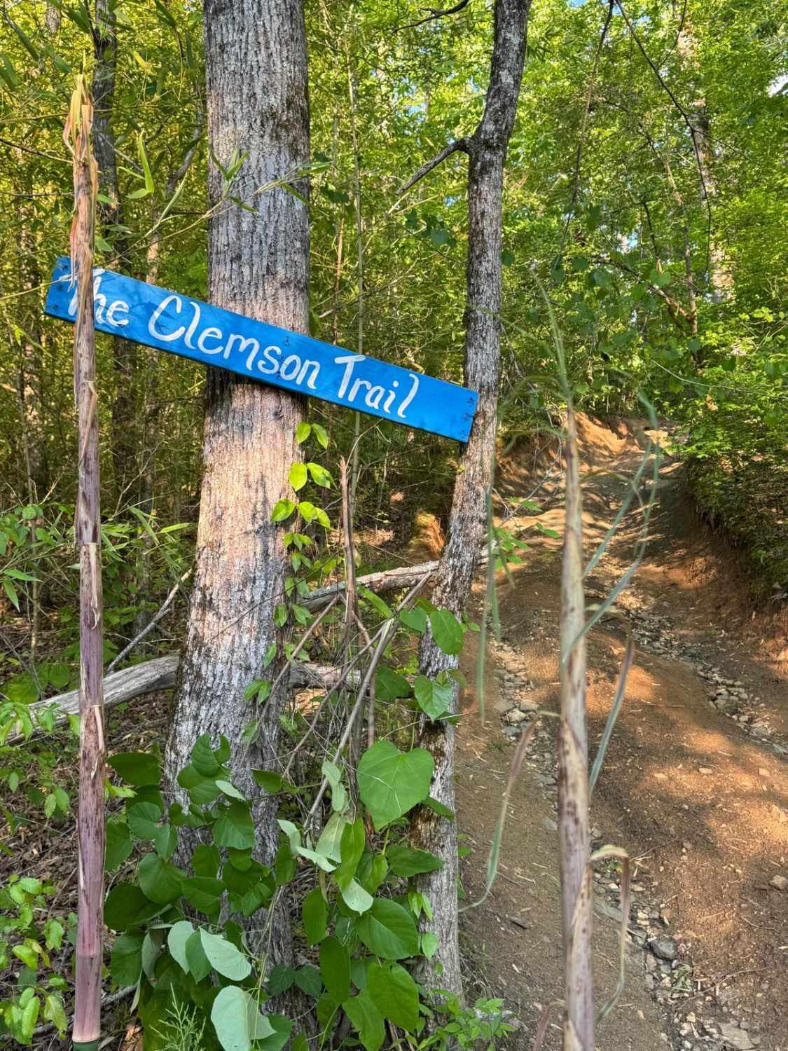
Clemson Trail
The onX Offroad Difference
onX Offroad combines trail photos, descriptions, difficulty ratings, width restrictions, seasonality, and more in a user-friendly interface. Available on all devices, with offline access and full compatibility with CarPlay and Android Auto. Discover what you’re missing today!