Pearl Branch Road (611)
Total Miles
2.2
Technical Rating
Best Time
Spring, Summer, Fall, Winter
Trail Type
Full-Width Road
Accessible By
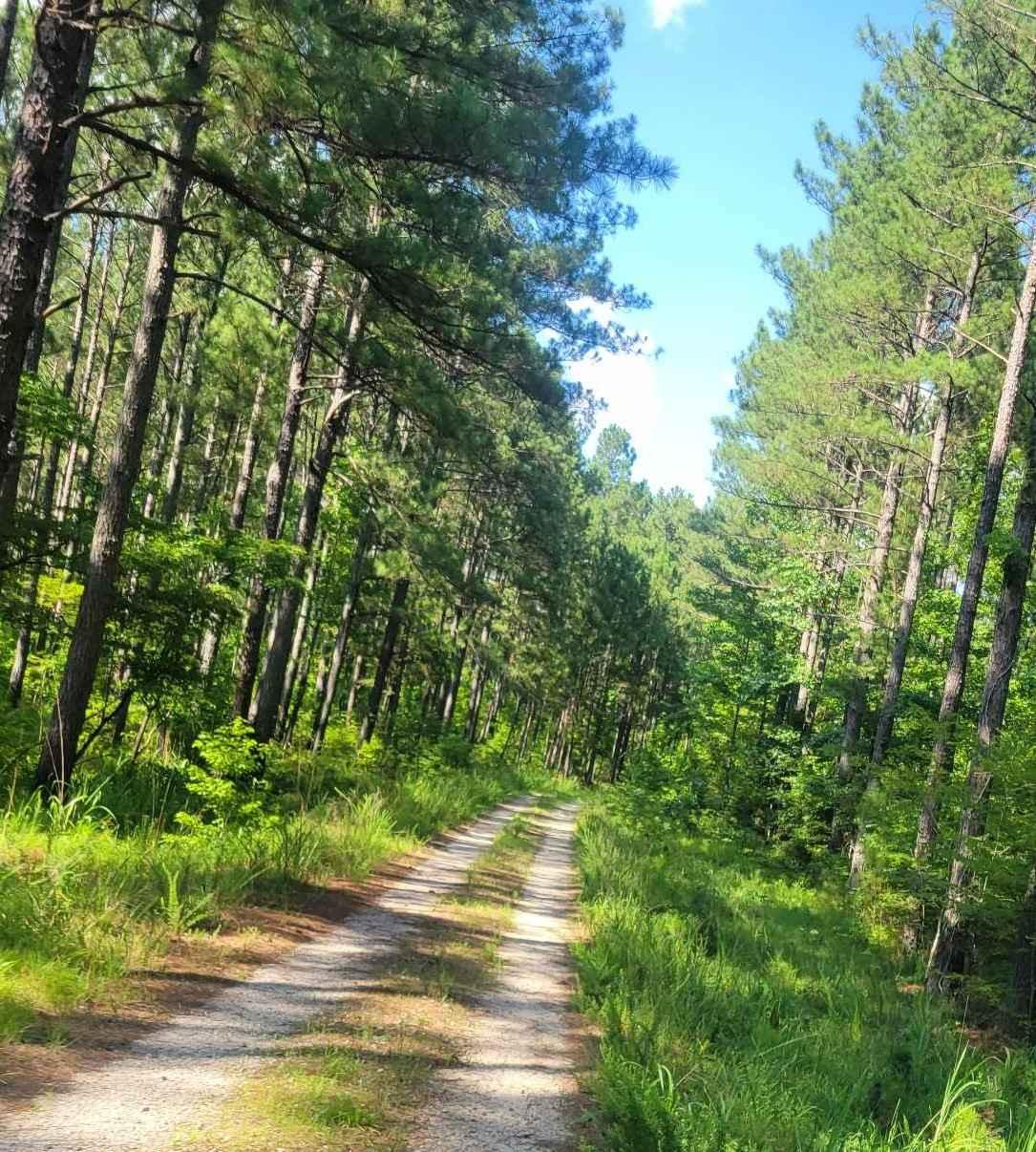
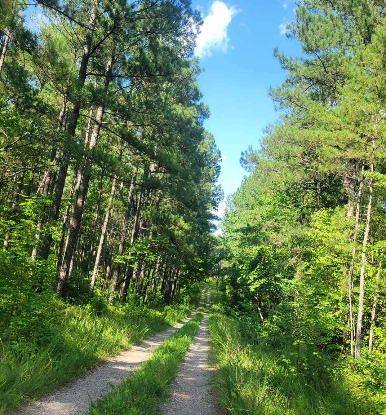
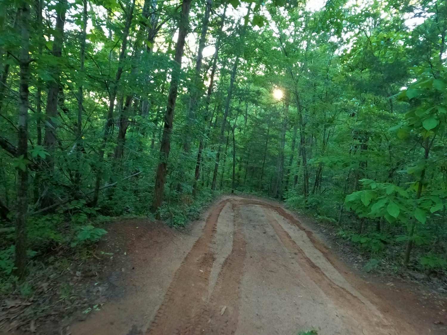
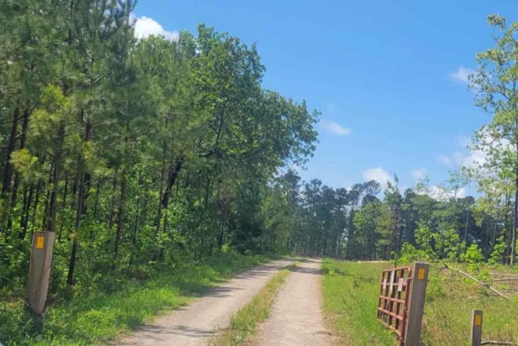
Trail Overview
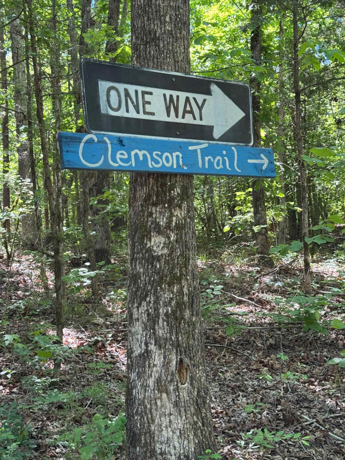
Pearl Branch Road (611) is a somewhat well-maintained service road within Sumter National Forest. This road offers a few areas for the adventurous off-roader to explore while maintaining ease of access along the main route. A left turn along this road (611a) provides access to Turkey Creek if you want to push a little further and have a capable vehicle.
Photos of Pearl Branch Road (611)
Difficulty
This road is somewhat well-maintained with a few washed-out areas that will need to be traveled with caution. Additionally, there is high grass in some areas that could hide ruts in the road.
Status Reports
Pearl Branch Road (611) can be accessed by the following ride types:
- High-Clearance 4x4
- SUV
Pearl Branch Road (611) Map
Popular Trails

Gunter Pond Road
Clemson/Tornado Cutoff
Oval Road - FSR 672
The onX Offroad Difference
onX Offroad combines trail photos, descriptions, difficulty ratings, width restrictions, seasonality, and more in a user-friendly interface. Available on all devices, with offline access and full compatibility with CarPlay and Android Auto. Discover what you’re missing today!