Monies Hollow
Total Miles
1.0
Technical Rating
Best Time
Spring, Fall, Winter
Trail Type
60" Trail
Accessible By
Trail Overview
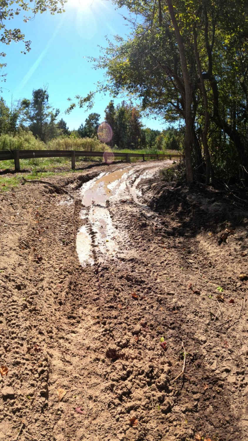
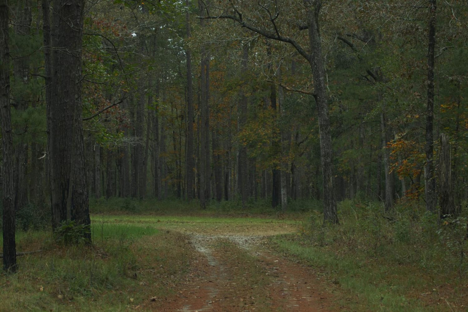
This is a single-lane trail that follows the gas line to Devine Drive at the western edge of the property. This trail is mostly comprised of compact sand and has several sections prone to standing water, with no bypass available. The sections of standing water are long and potentially deep. The trail overall is relatively easy, however, the sections that are prone to flooding present a unique challenge.
Photos of Monies Hollow

Difficulty
The rating was given for sections of the trail prone to flooding with no viable bypass other than alternate routing.
Status Reports
Monies Hollow can be accessed by the following ride types:
- SxS (60")
- ATV (50")
- Dirt Bike
Monies Hollow Map
Popular Trails

Dry Branch (673) and Garret B (635B)

Jackie Lake Road - FSR 155
Donnelly WMA PT.3
SCAR Connector - Edisto
The onX Offroad Difference
onX Offroad combines trail photos, descriptions, difficulty ratings, width restrictions, seasonality, and more in a user-friendly interface. Available on all devices, with offline access and full compatibility with CarPlay and Android Auto. Discover what you’re missing today!