Spring Creek Rd
Total Miles
8.1
Technical Rating
Best Time
Spring, Summer, Fall
Trail Type
Full-Width Road
Accessible By
Trail Overview
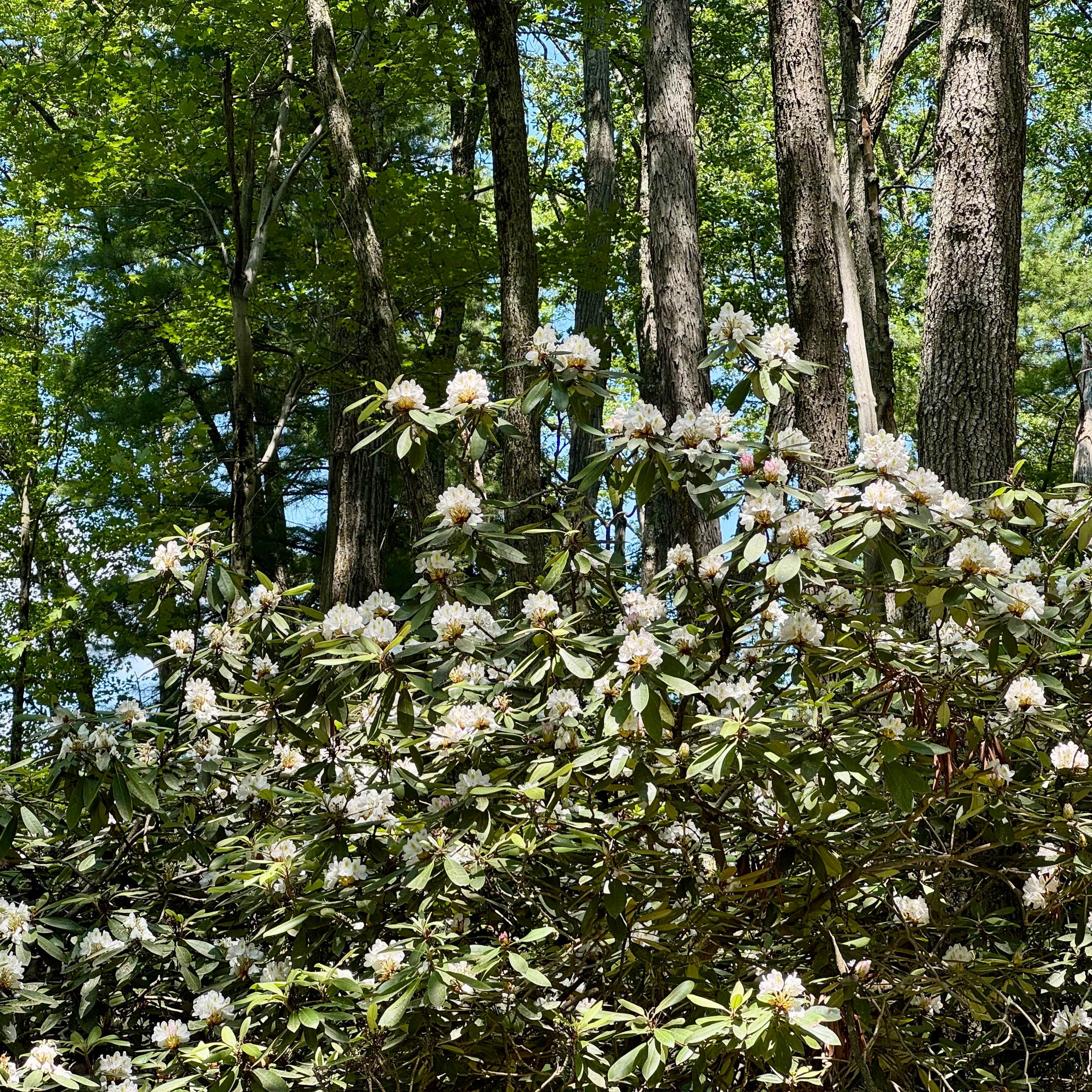
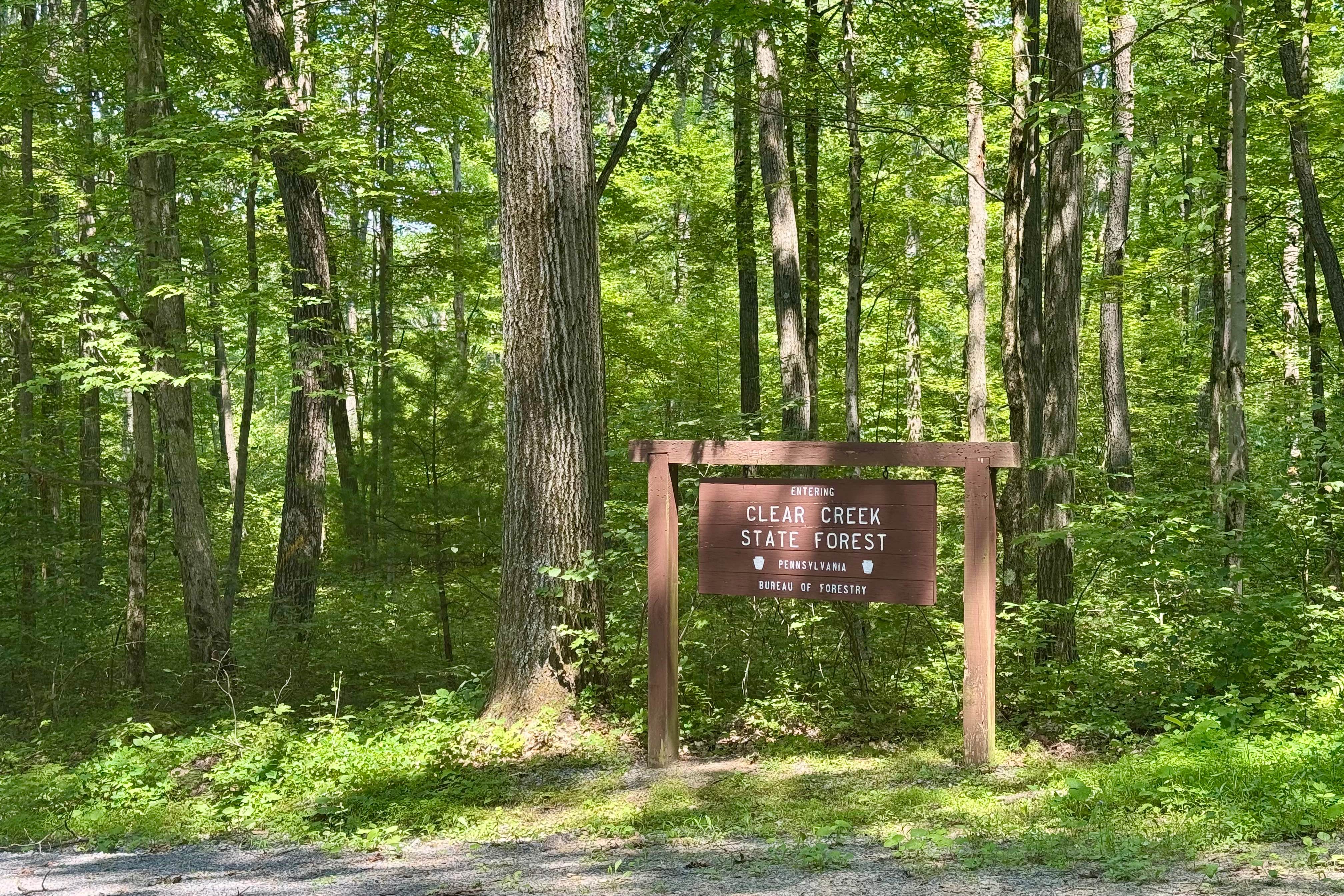
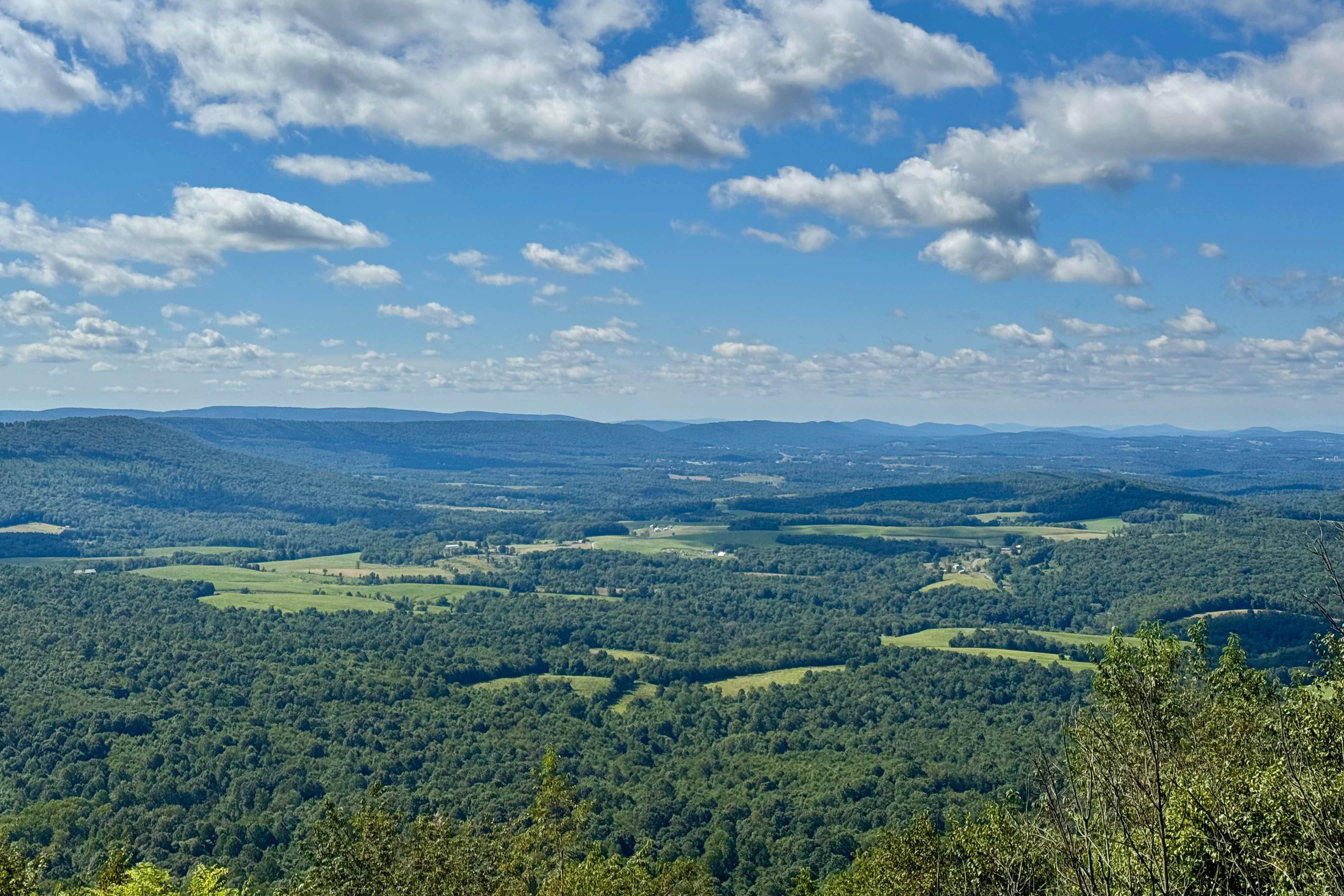
This forest road is the unpaved connector between the western and eastern parts of the Clear Creek & Callen Run tract of Clear Creek State Forest. It connects to PA 949 at either end. Though this featured route ends at the boundary for State Game Land 54 on the eastern end, it does go through. The Laurel Fields on the western end are a real highlight and showcase PA's state flower when they are blooming! Hays tower on the eastern end is a landmark you can see from much of the surrounding forest and field, and the cellular antennas on that hill give surprisingly good coverage to the area! There is one dispersed motorized campsite on the east end that you can reserve via Reserve America. Though the cell service may be generally good, the fuel is scarce and often expensive in this area. Your best bet is the Love's truck stop to the south at the I-80 exit for PA 28.
Photos of Spring Creek Rd
Difficulty
It should be passable by any street-legal vehicle except in snow. Occasional potholes are the only obstacles.
History
The history of the area is about logging. This road was likely cut at that time to support the lumber industry and later reestablished by the CCC as they reseeded the area and took on projects.
Status Reports
Spring Creek Rd can be accessed by the following ride types:
- High-Clearance 4x4
- SUV
- SxS (60")
- ATV (50")
- Dirt Bike
Spring Creek Rd Map
Popular Trails
Trail 5J - Rock Run Recreation Area

Darkwater 72
The onX Offroad Difference
onX Offroad combines trail photos, descriptions, difficulty ratings, width restrictions, seasonality, and more in a user-friendly interface. Available on all devices, with offline access and full compatibility with CarPlay and Android Auto. Discover what you’re missing today!