Fisher Road
Total Miles
3.8
Technical Rating
Best Time
Spring, Summer, Fall
Trail Type
Full-Width Road
Accessible By
Trail Overview
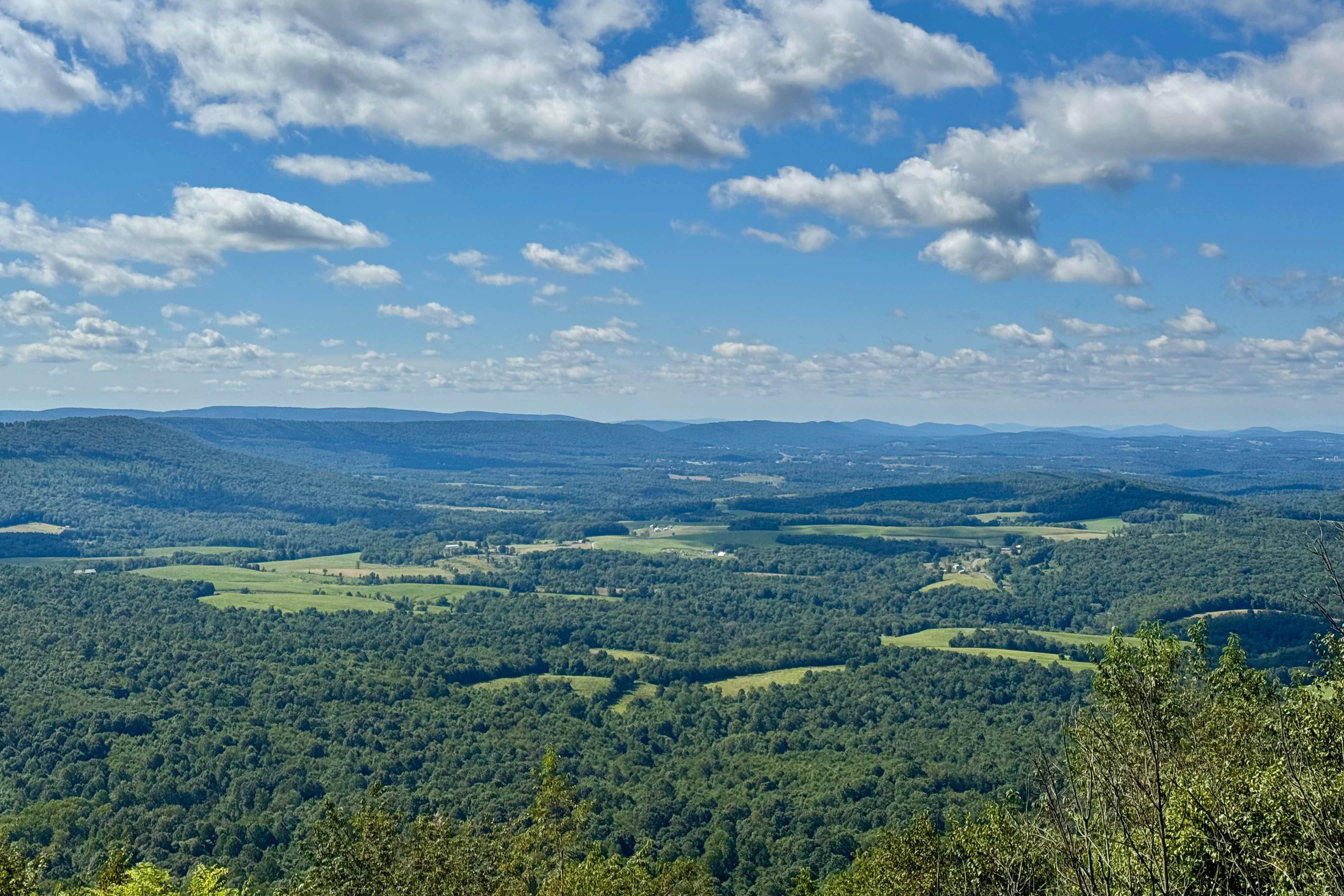
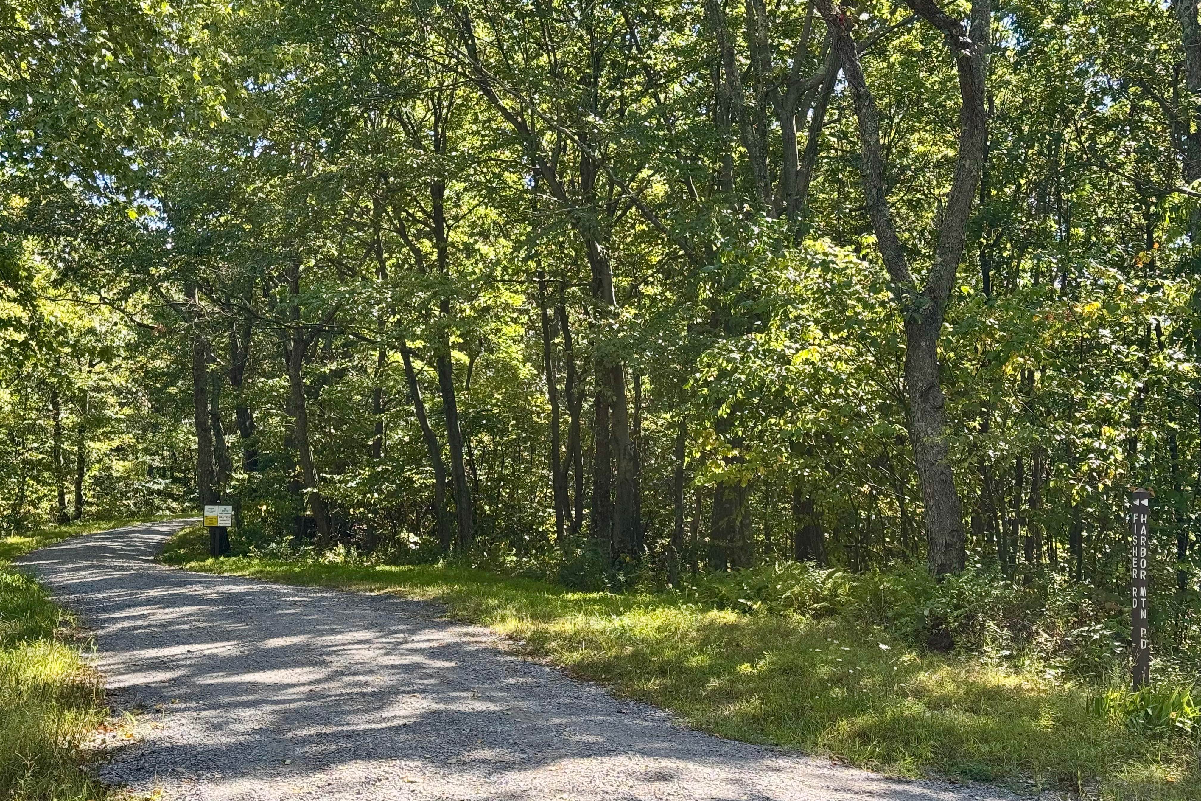
This dirt road provides access to one of the many excellent vistas in Buchanan State Forest. This one also serves as a hang gliding launch site and faces south, making it a good choice for viewing sunrise or sunset. The road winds along the top of Harbor Mountain. It ends at a gate, but Cove Road near the gate can be used to exit this route if desired. Although there is no picnic area close by, there are restrooms at the ATV parking area on the east side of Cove Road. Resist the temptation to climb the rock pile on the north side of the trail near the mid-point. It is posted as closed, and ignoring the sign can result in a fine.
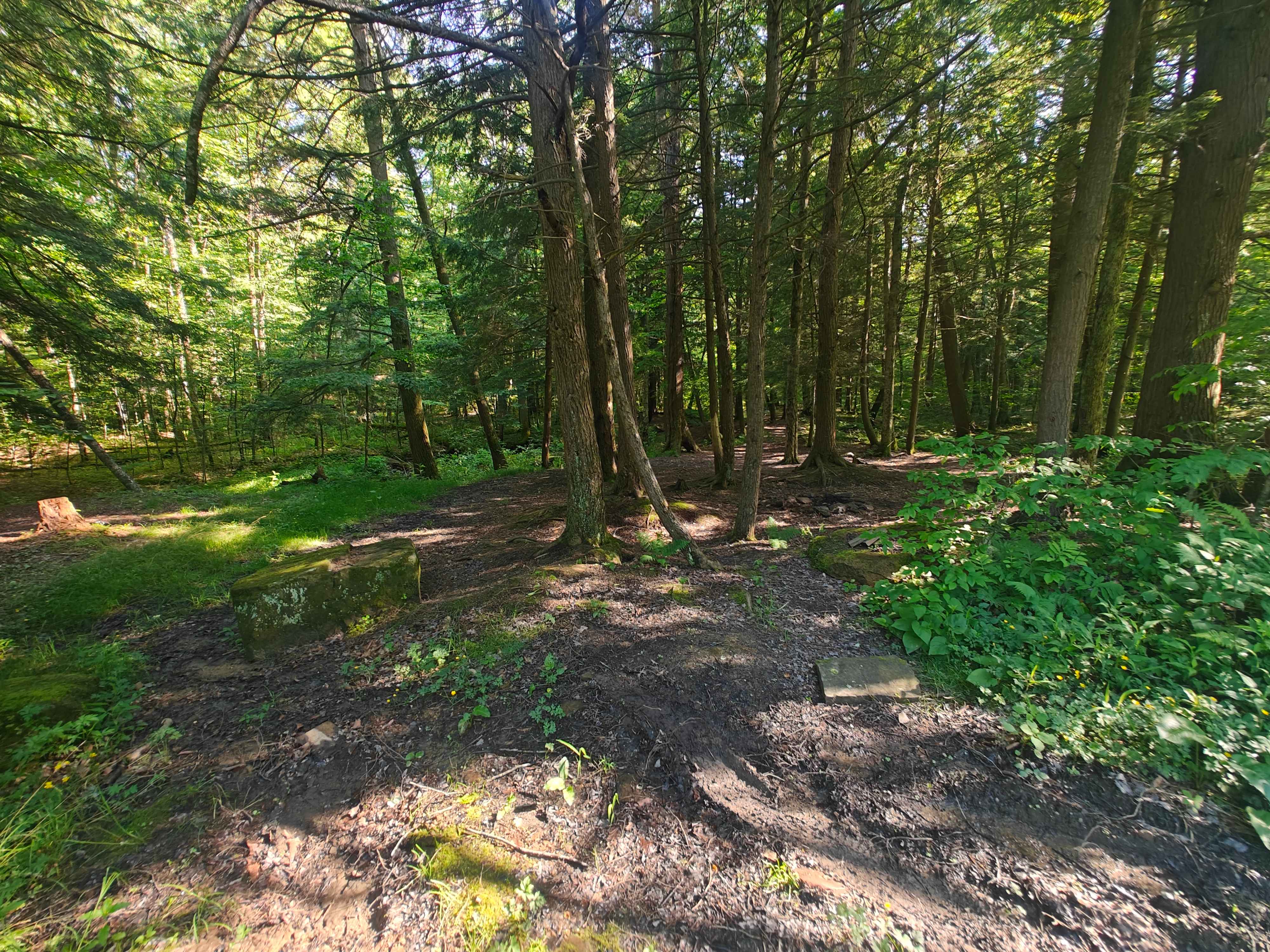
Photos of Fisher Road
Difficulty
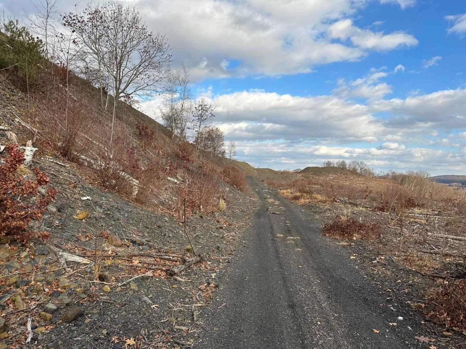
This trail is a typical Pennsylvania Forest Service route, consisting primarily of well-maintained gravel. It is smooth and easy to drive, with minimal obstacles or technical challenges. This road does not receive winter maintenance.
History
Roads like Fisher Road were established after the Commonwealth of Pennsylvania acquired cut-over logging lands, beginning in the early 1900s, setting the stage for fire management, forestry work, and recreation. The area includes nearby pre-Civil War cemeteries and sites related to early American settlers and resettlement lands, reflecting the transformation from farming and logging to managed forest.
Status Reports
Fisher Road can be accessed by the following ride types:
- High-Clearance 4x4
- SUV
Fisher Road Map
Popular Trails
St. Keirns Single Track 8

McCall Dam Road
The onX Offroad Difference
onX Offroad combines trail photos, descriptions, difficulty ratings, width restrictions, seasonality, and more in a user-friendly interface. Available on all devices, with offline access and full compatibility with CarPlay and Android Auto. Discover what you’re missing today!