R
Total Miles
0.5
Technical Rating
Best Time
Summer, Fall, Spring, Winter
Trail Type
High-Clearance 4x4 Trail
Accessible By
Trail Overview
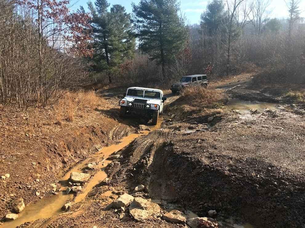
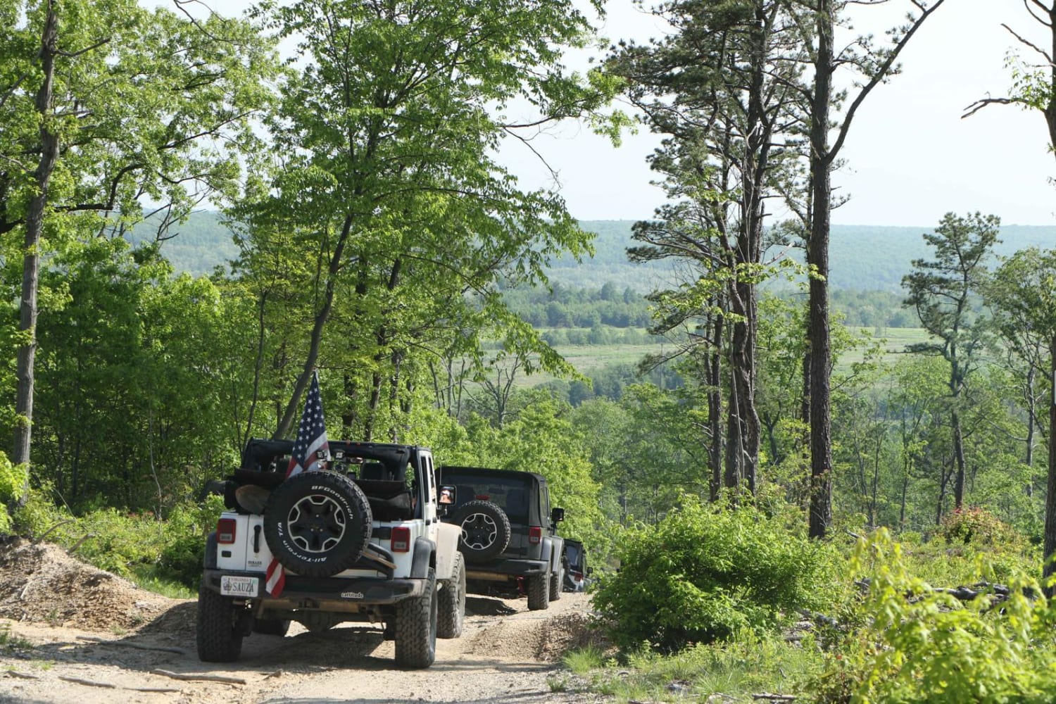
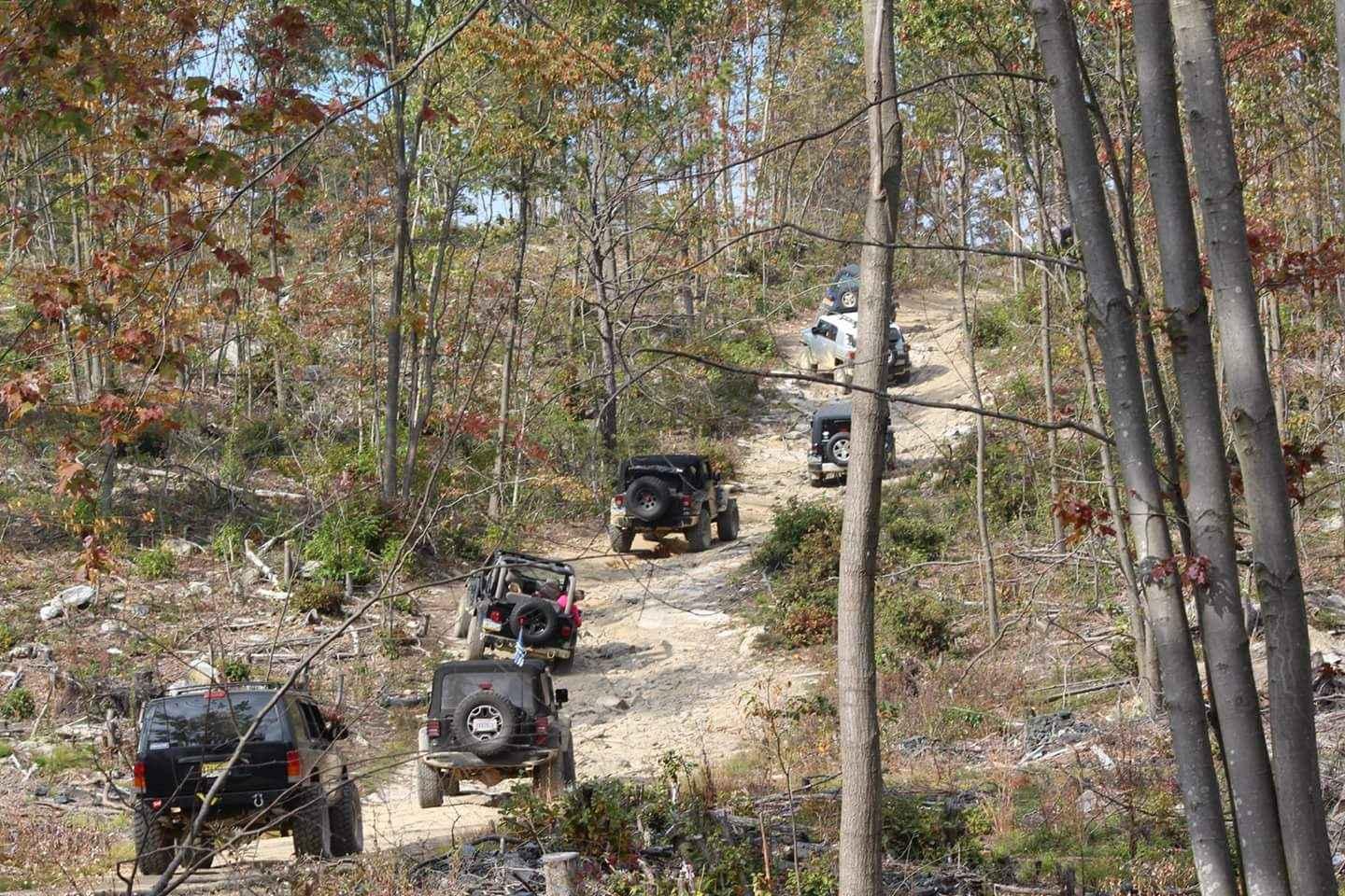
Trail R serves as a connector between N3 and the trail atop the ridge at R1, providing the sole access point to reach that area. It is a slightly rocky, washed-out, and rutted trail that ascends the hill to the southernmost trails.
Photos of R
Difficulty
This can be a difficult green trail depending on vehicle and driving ability. There are rocks, washouts, and ruts the whole trail. Be careful with stock-type vehicles.
Status Reports
R can be accessed by the following ride types:
- High-Clearance 4x4
R Map
Popular Trails

Darkwater Connector
Spring Creek Rd

Mount St. Keirns Black
The onX Offroad Difference
onX Offroad combines trail photos, descriptions, difficulty ratings, width restrictions, seasonality, and more in a user-friendly interface. Available on all devices, with offline access and full compatibility with CarPlay and Android Auto. Discover what you’re missing today!