Lost Reactor Trail
Total Miles
8.0
Technical Rating
Best Time
Fall
Trail Type
Full-Width Road
Accessible By
Trail Overview
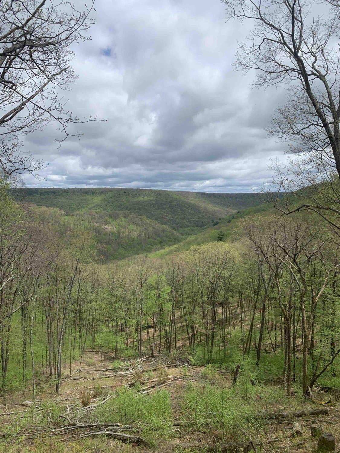
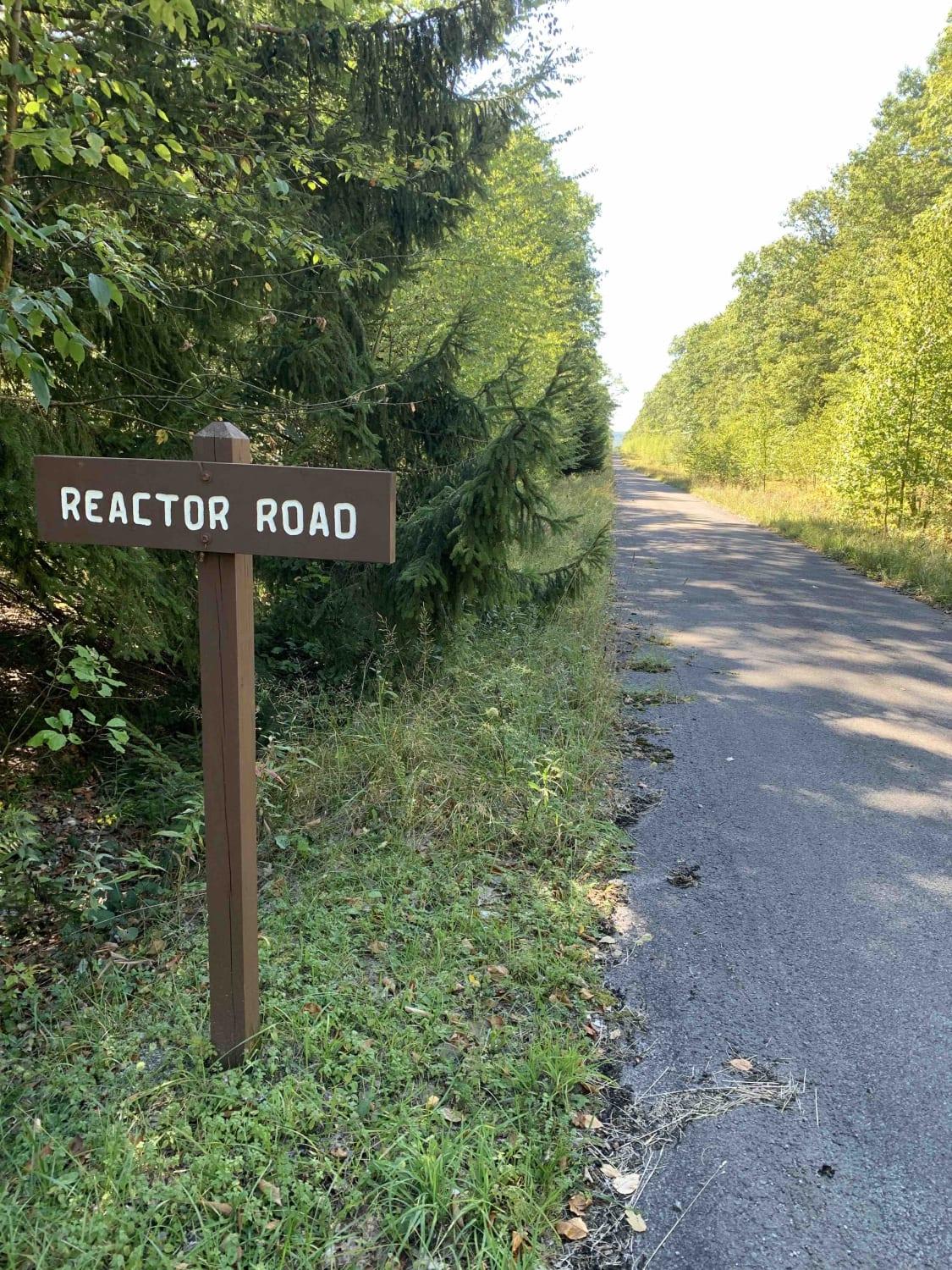
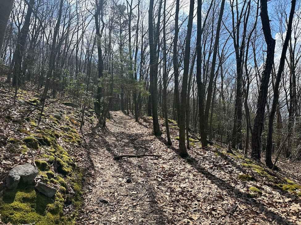
This is an easy dirt and gravel road that offers scenic autumn views from an overlook that lets you see for miles. There is a river crossing in the bottom of the valley and the trail ends near the abandoned site of the Curtis Wright Nuclear Reactor that was used to test nuclear jet engines in the 1950's.
Photos of Lost Reactor Trail
Difficulty
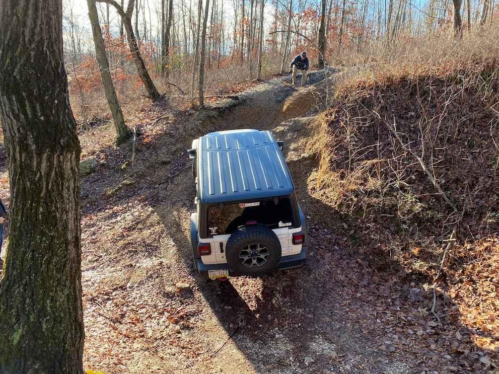
There are a few tight corners and a shallow river crossing that can be avoided if you wish.
History
The north end of this trail is near the abandoned nuclear jet engine testing complex at Quehanna was born out of the euphemistically-named "Atoms for Peace" program, proposed by President Dwight D. Eisenhower in 1953 and created by the United States Congress in 1954.
Status Reports
Lost Reactor Trail can be accessed by the following ride types:
- High-Clearance 4x4
- SUV
Lost Reactor Trail Map
Popular Trails
Ashland 123

St. Keirns RORR Single Track
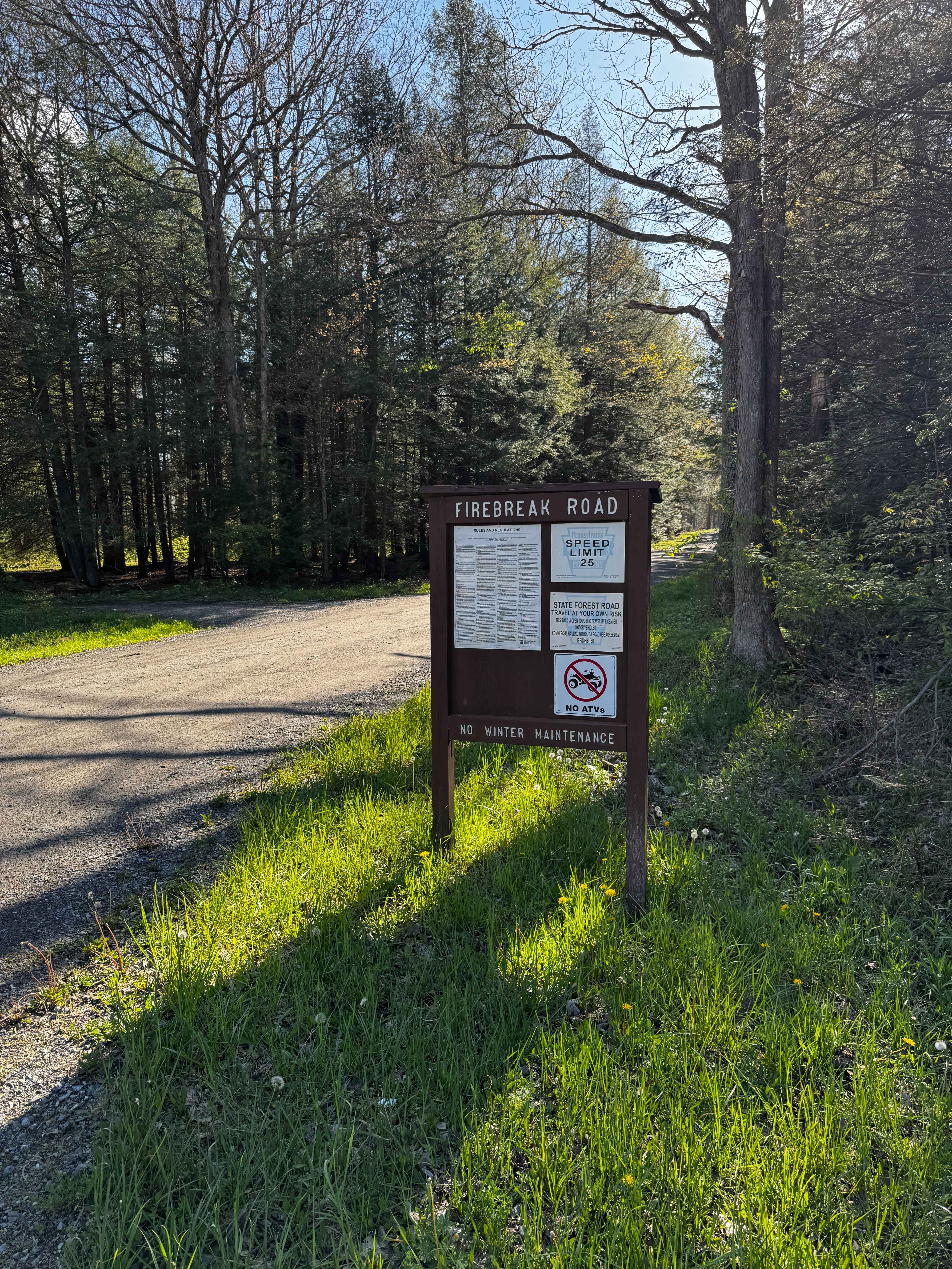
Firebreak Road
The onX Offroad Difference
onX Offroad combines trail photos, descriptions, difficulty ratings, width restrictions, seasonality, and more in a user-friendly interface. Available on all devices, with offline access and full compatibility with CarPlay and Android Auto. Discover what you’re missing today!