Laurel Run - FS 166
Total Miles
2.4
Technical Rating
Best Time
Winter, Fall
Trail Type
High-Clearance 4x4 Trail
Accessible By
Trail Overview
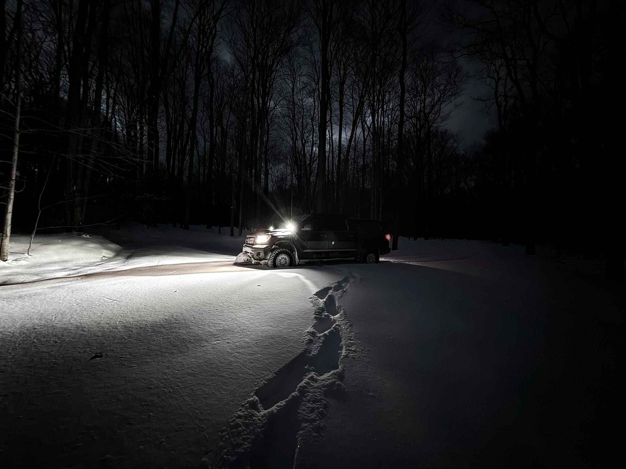
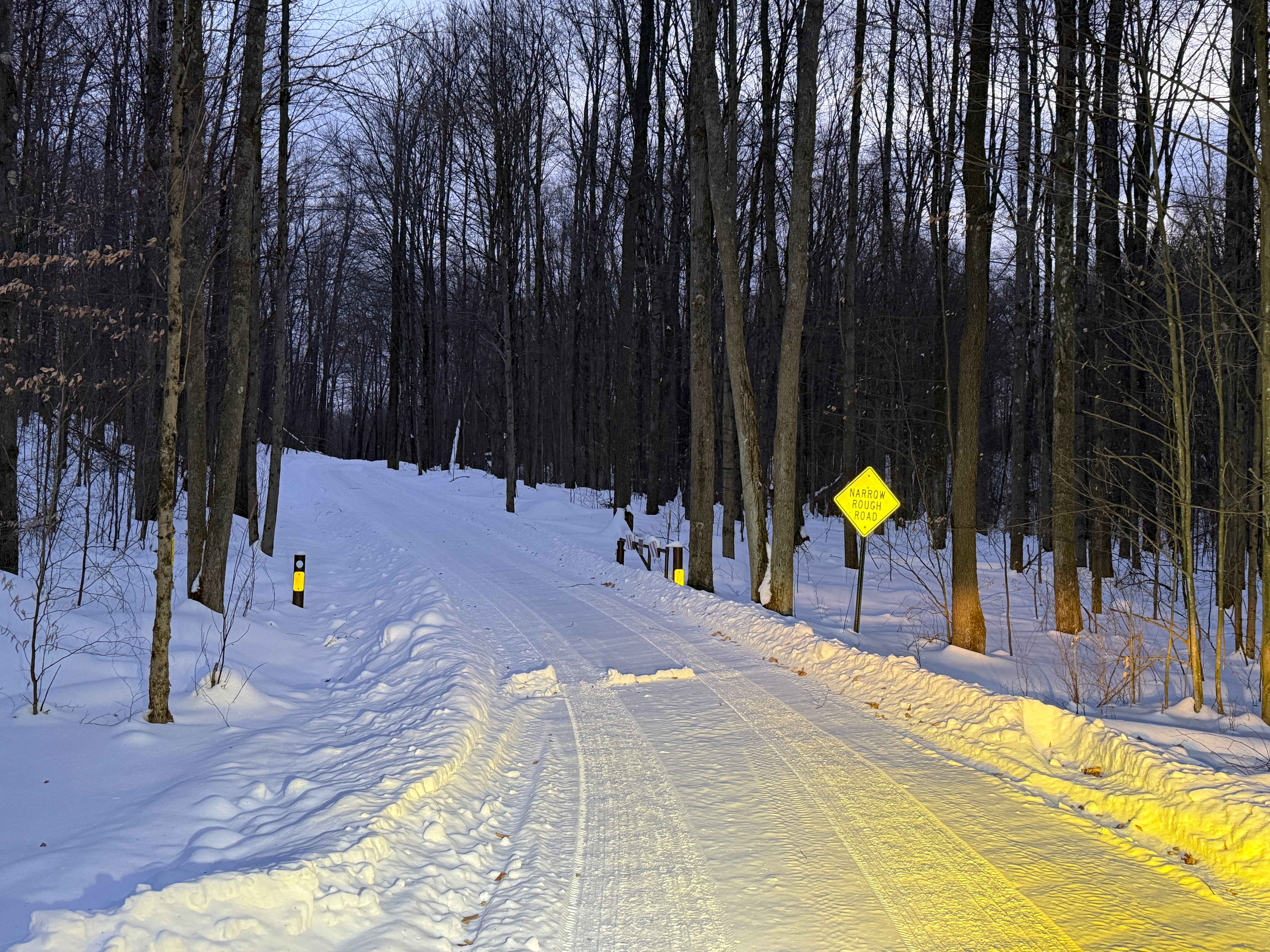
Forest Service Road 166 (FS 166) in the Allegheny National Forest is a 2.39-mile seasonal, maintained route accessible for high-clearance vehicles. Road class is not specified. Snow was around 12 to 15 inches deep. Made for fun and slippery travel. Check for Trail updates on road surface updates. It is part of the extensive road network managed for scenic driving, recreation, and resource access within Pennsylvania's only national forest. Accessibility: Like many forest roads, its condition can vary, and it is best to check the Allegheny National Forest Motor Vehicle Use Map (MVUM) for the latest information on its status. Conditions are also subject to weather and seasonal changes. https://www.fs.usda.gov/r09/allegheny
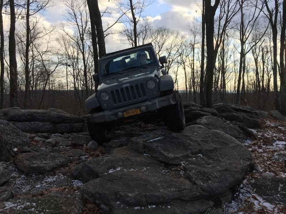
Photos of Laurel Run - FS 166
Difficulty
During Winter, this is an unmaintained snow-covered road.
Status Reports
Laurel Run - FS 166 can be accessed by the following ride types:
- High-Clearance 4x4
Laurel Run - FS 166 Map
Popular Trails

Trail 2C - Rock Run Recreation Area
Trail 17 Upper
The onX Offroad Difference
onX Offroad combines trail photos, descriptions, difficulty ratings, width restrictions, seasonality, and more in a user-friendly interface. Available on all devices, with offline access and full compatibility with CarPlay and Android Auto. Discover what you’re missing today!