High Rock Road
Total Miles
4.5
Technical Rating
Best Time
Spring, Summer, Fall
Trail Type
Full-Width Road
Accessible By
Trail Overview
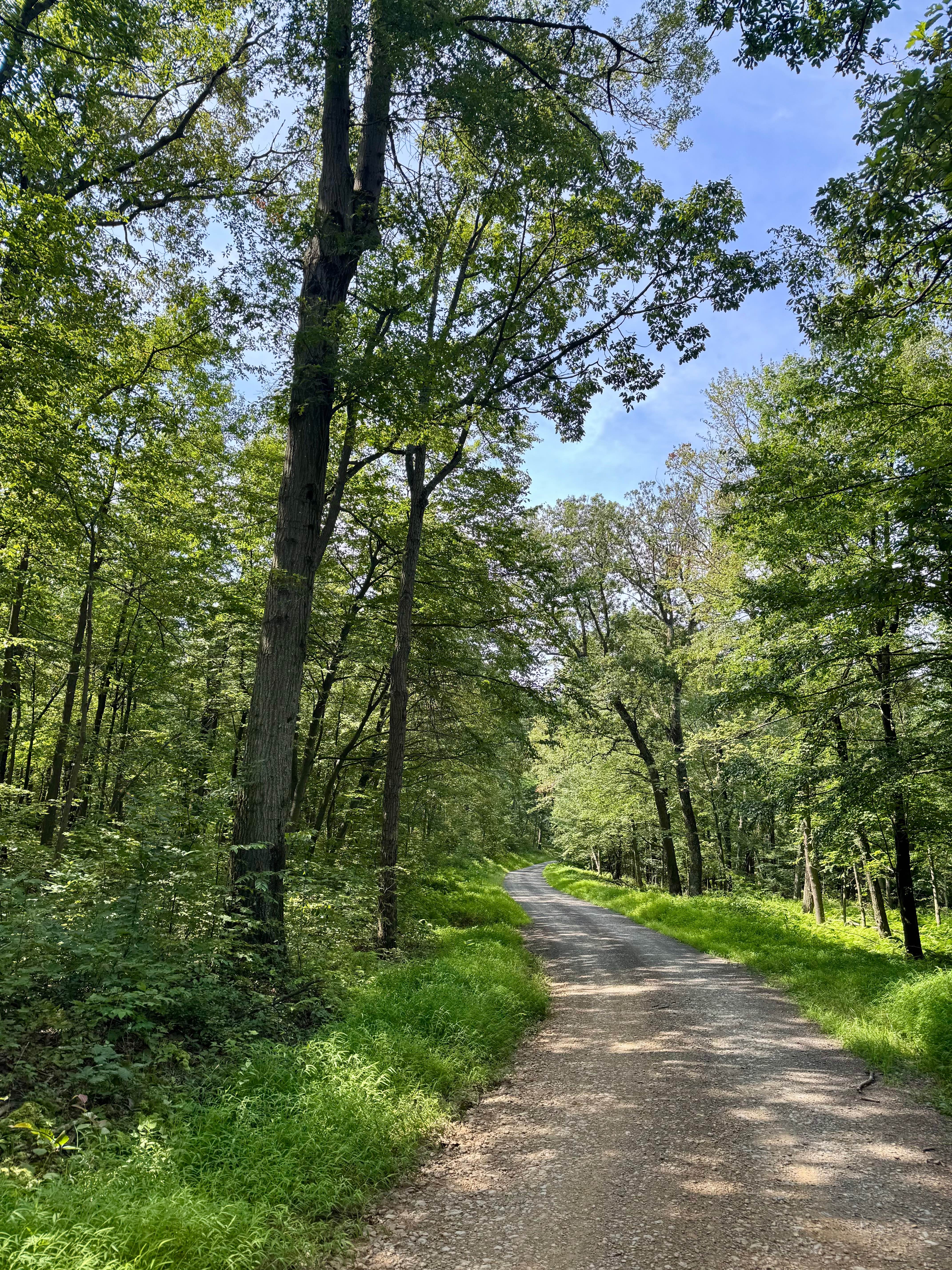
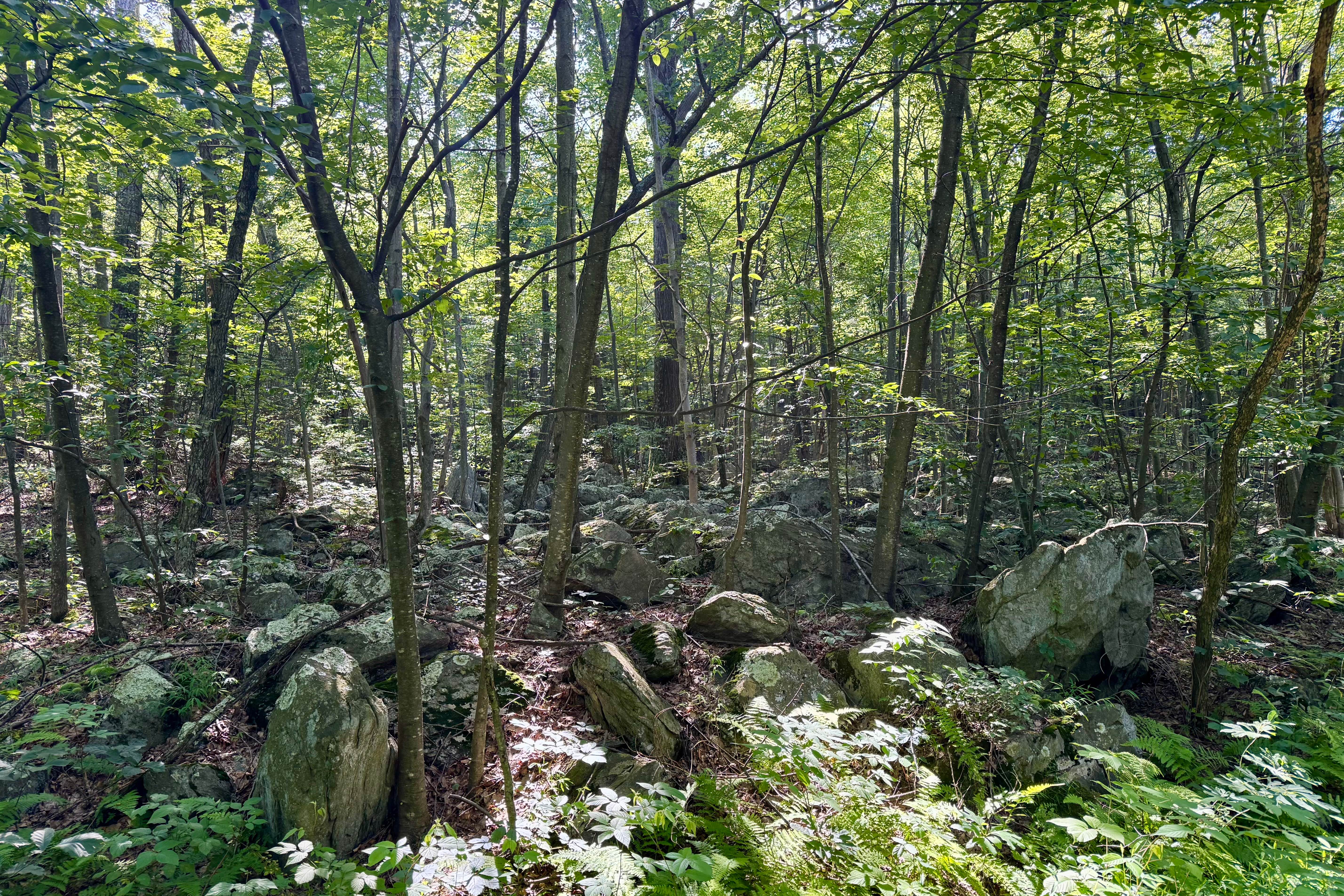
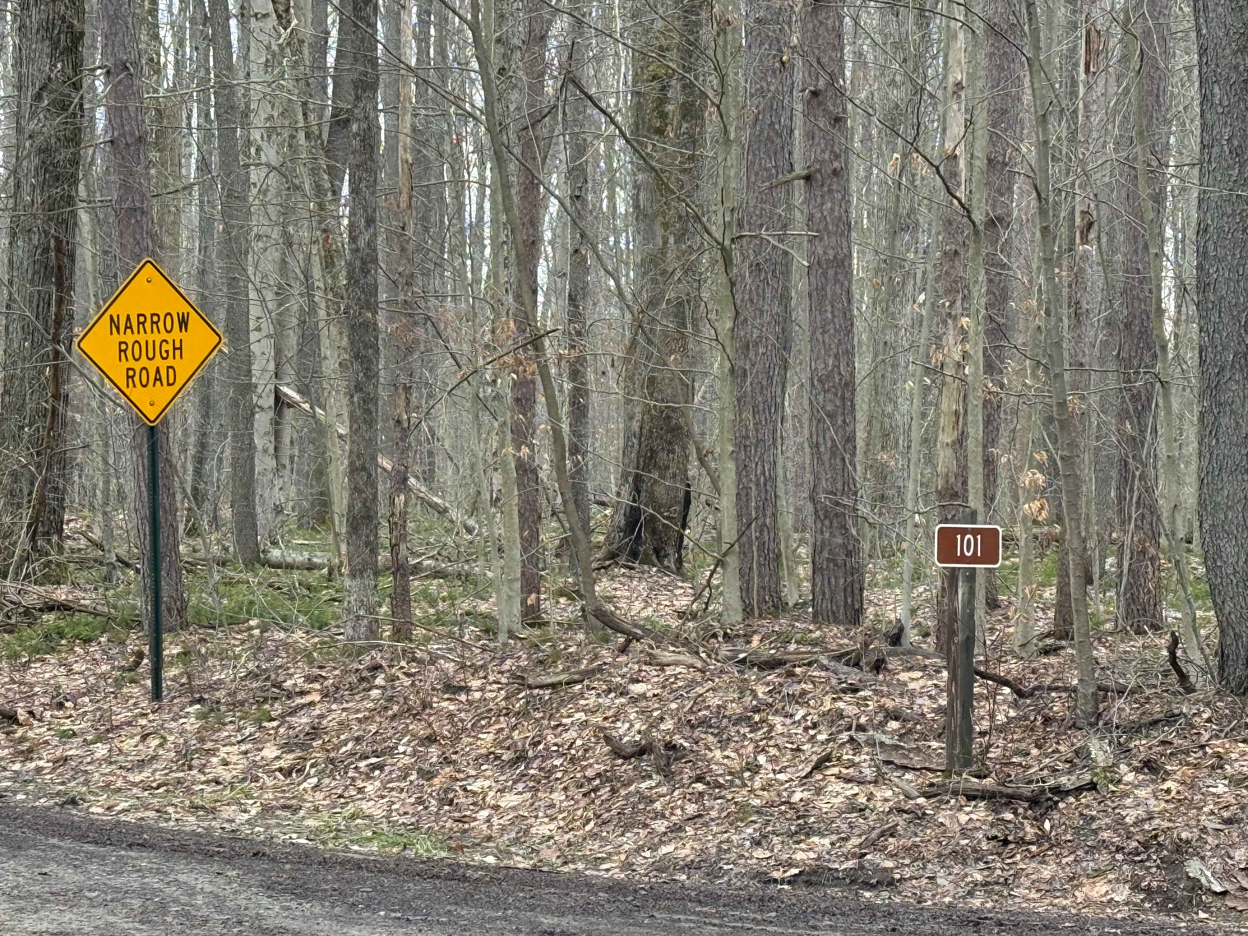
A good way into the southern part of Michaux State Forest if coming from the east. This is a largely gravel/shale state forest road that meanders along the west side of the ridge of the South Mountain. It's notable for having three rustic, dispersed camp sites in a forest that does not have that many. Note that these three are all hike-in, so they're for tent camping vs a roof-top tent, canopy camper, or trailer. A reservation on Reserve America is still required. It's a pleasant drive on a generally smooth, graded surface. Note that the Pennsylvania DCNR map shows a vista, but they've not cleared the vegetation there for some time, so there is no clear view down to the valley at the time of this submission (August 2025). Section 5 of the Mid-Atlantic BDR uses this road, so look out for adventure motorcycles along with other forest users like bicyclists and hikers.
Photos of High Rock Road
Difficulty
This typical Pennsylvania state forest road is generally in good condition with some potholes. It is usually passable by any road-legal vehicle.
Status Reports
High Rock Road can be accessed by the following ride types:
- High-Clearance 4x4
- SUV
High Rock Road Map
Popular Trails
Orange Single Track G9

Trail 12B - Rock Run Recreation Area
McMullen - FS 101
The onX Offroad Difference
onX Offroad combines trail photos, descriptions, difficulty ratings, width restrictions, seasonality, and more in a user-friendly interface. Available on all devices, with offline access and full compatibility with CarPlay and Android Auto. Discover what you’re missing today!