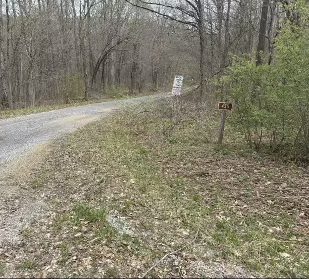
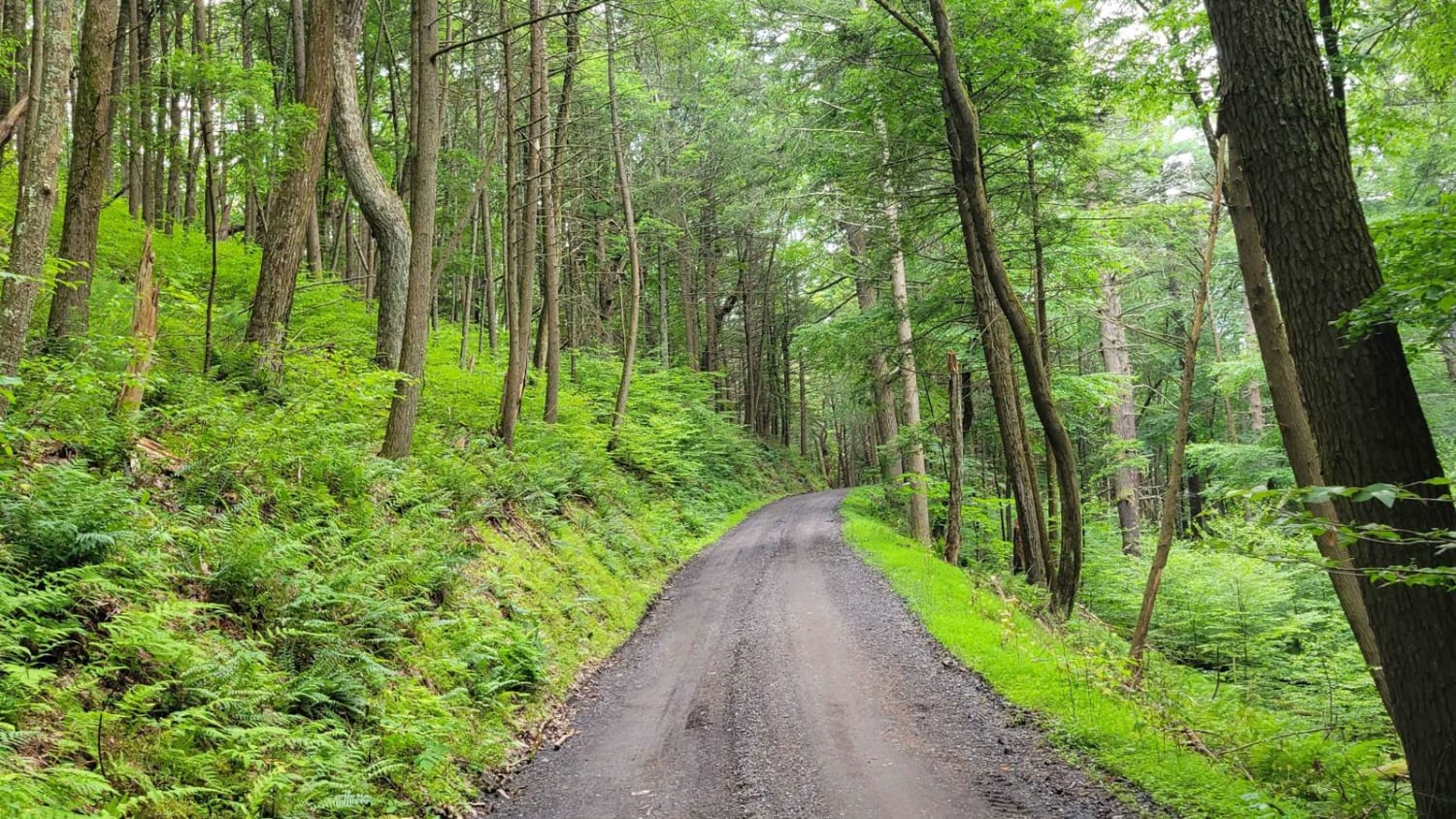
East Bucklick - FS 435
Total Miles
2.8
Technical Rating
Best Time
Spring, Summer, Fall, Winter
Trail Type
Full-Width Road
Accessible By
Trail Overview
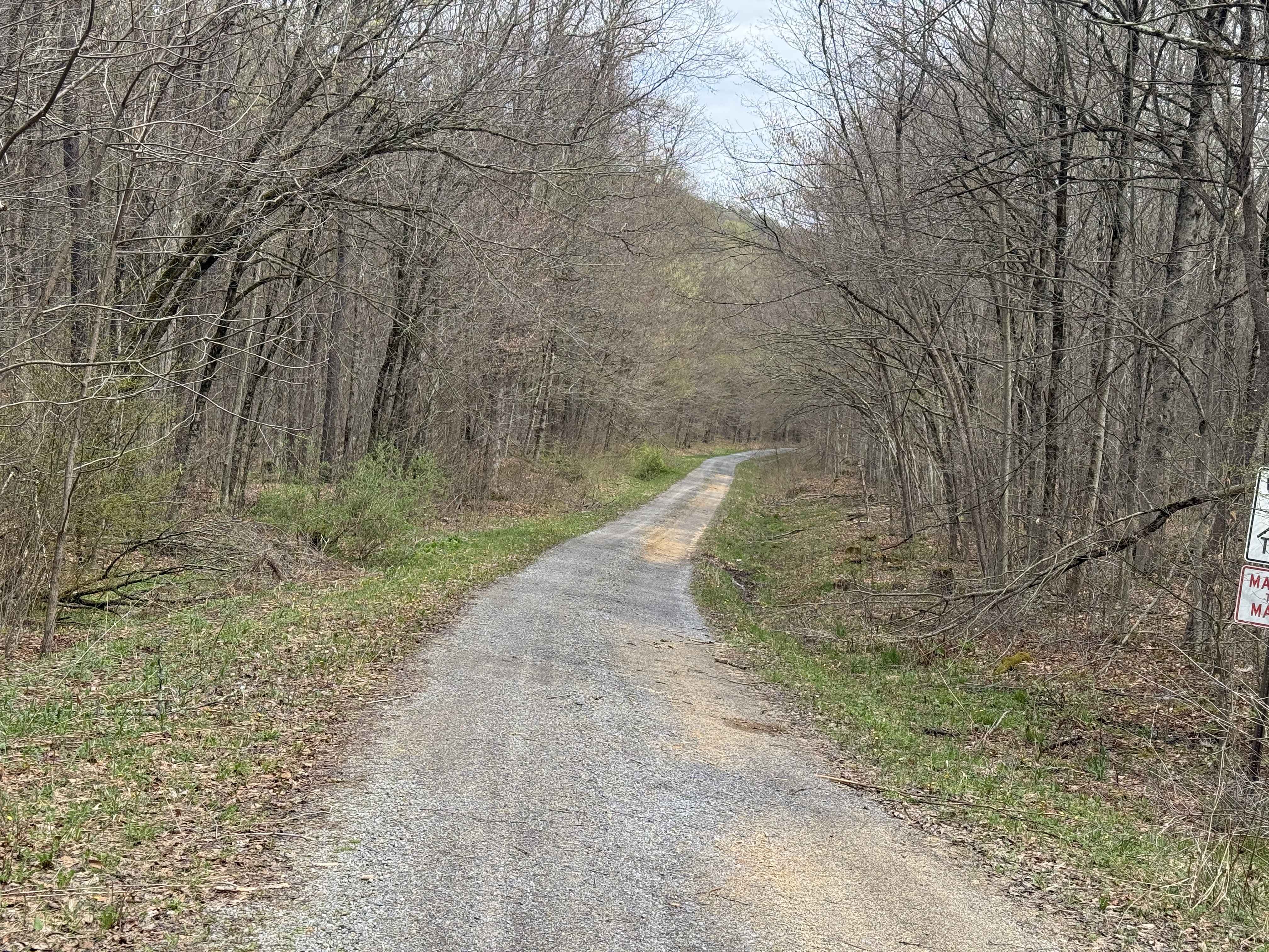
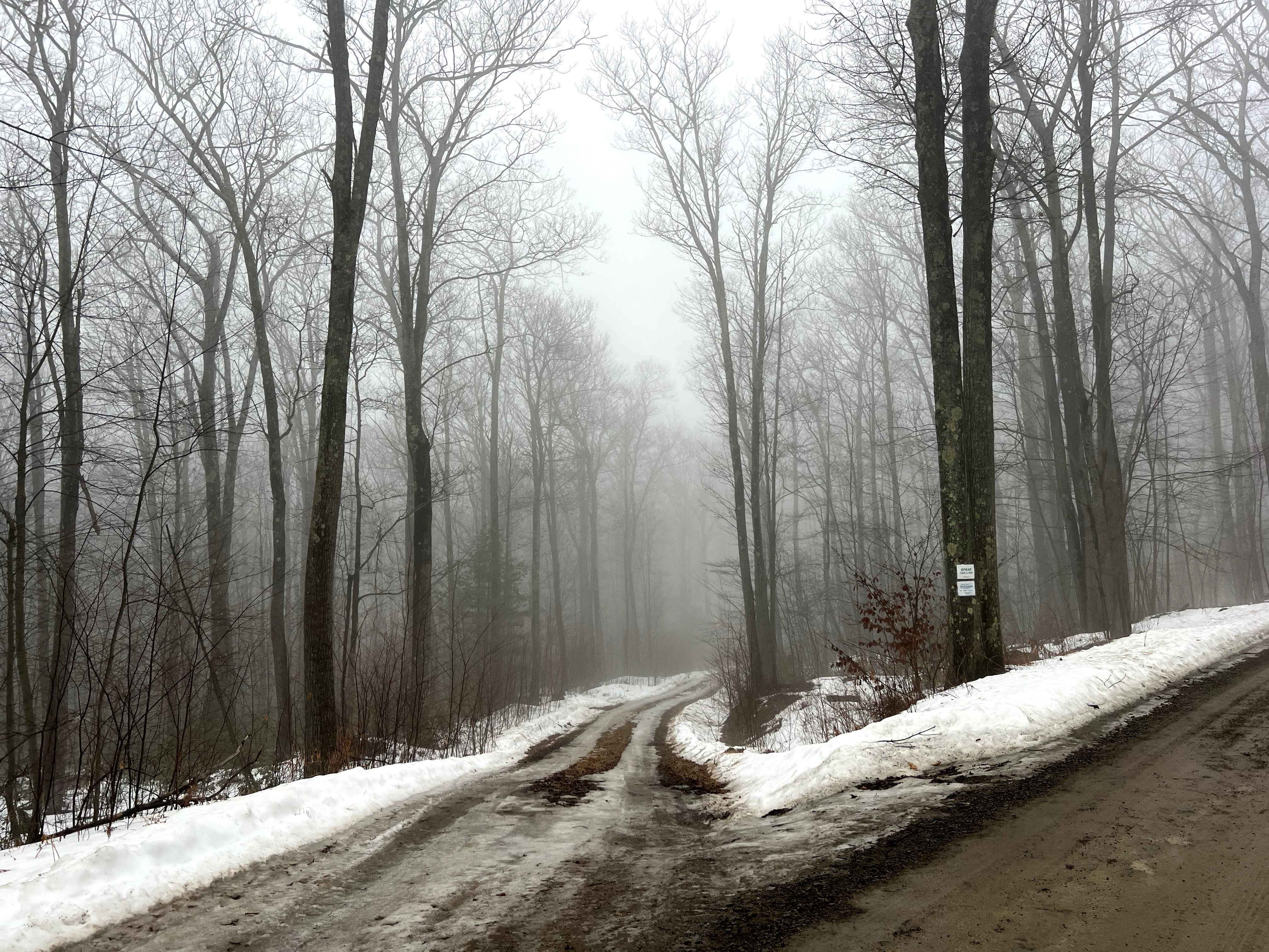
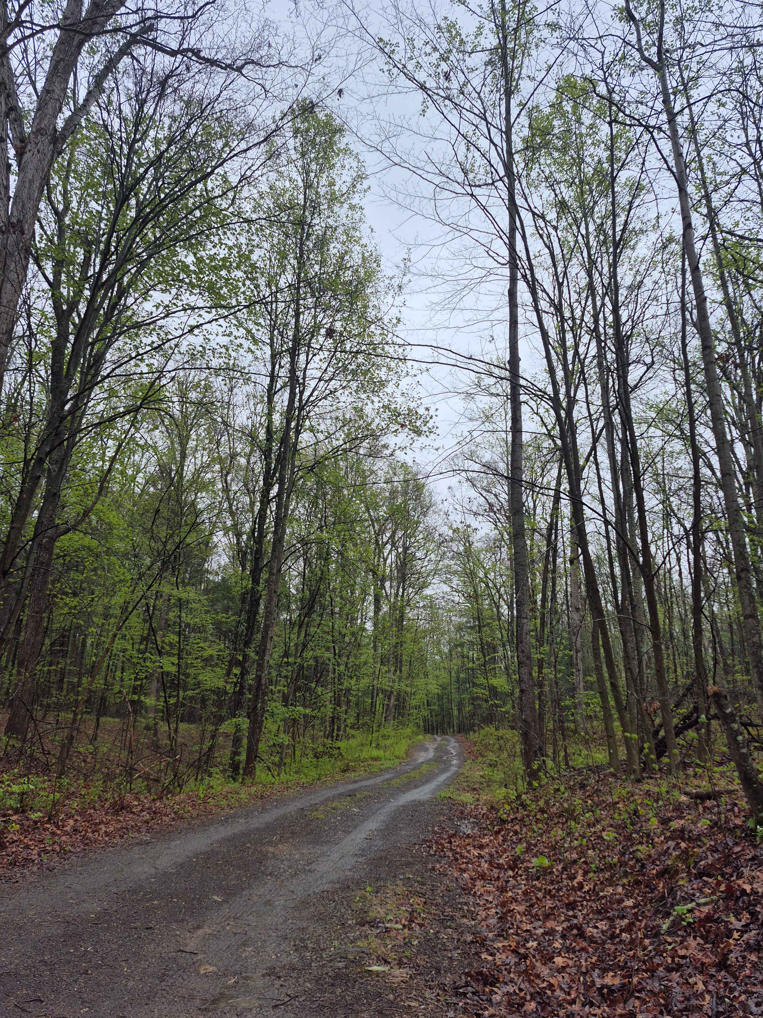
East Bucklick - FS 435 is a gravel surface road. It is a nice, pleasant drive. On one side is a slope down toward Sugar Run Creek. The opposite side goes uphill and has some large rock deposits from the ice age. If you find yourself traveling down East Bucklick - FS 435 in late April, bring some baggies and stop to pick some wild leeks. They grow everywhere here. Accessibility: Like many forest roads, its condition can vary, and it is best to check the Allegheny National Forest Motor Vehicle Use Map (MVUM) for the latest information on its status. Conditions are also subject to weather and seasonal changes. https://www.fs.usda.gov/r09/allegheny
Photos of East Bucklick - FS 435
Difficulty
Gravel surface road.
Status Reports
East Bucklick - FS 435 can be accessed by the following ride types:
- High-Clearance 4x4
- SUV
East Bucklick - FS 435 Map
Popular Trails
Rock Spring Trail
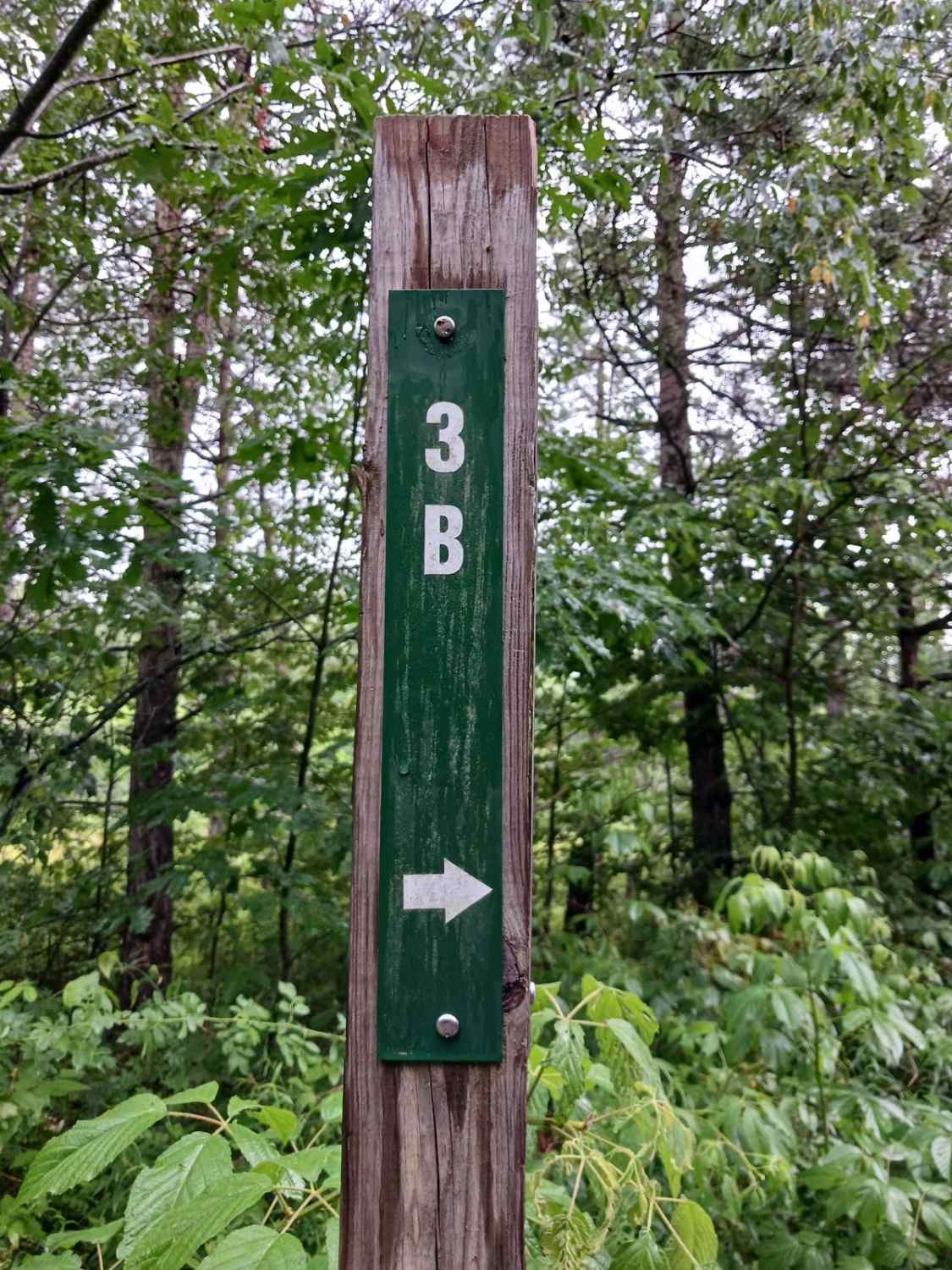
Trail 3B - Rock Run Recreation Area
Strongs Improvement
The onX Offroad Difference
onX Offroad combines trail photos, descriptions, difficulty ratings, width restrictions, seasonality, and more in a user-friendly interface. Available on all devices, with offline access and full compatibility with CarPlay and Android Auto. Discover what you’re missing today!