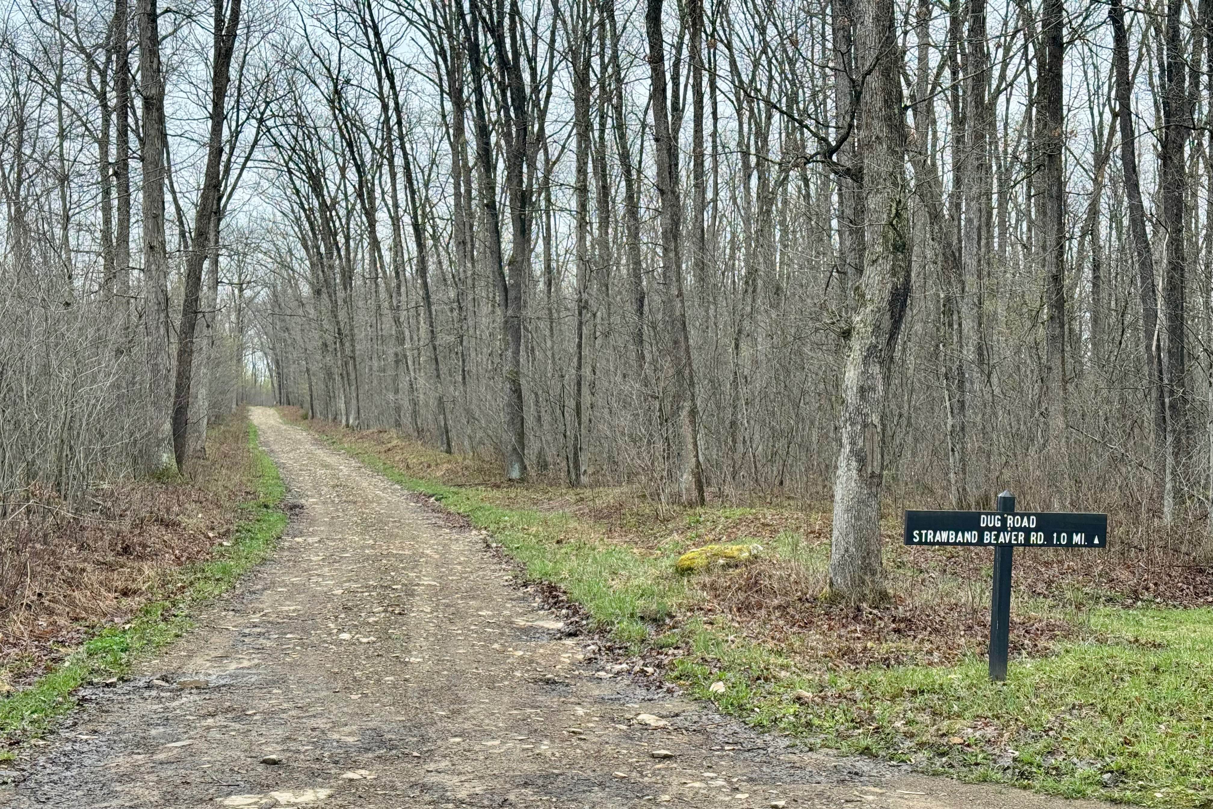
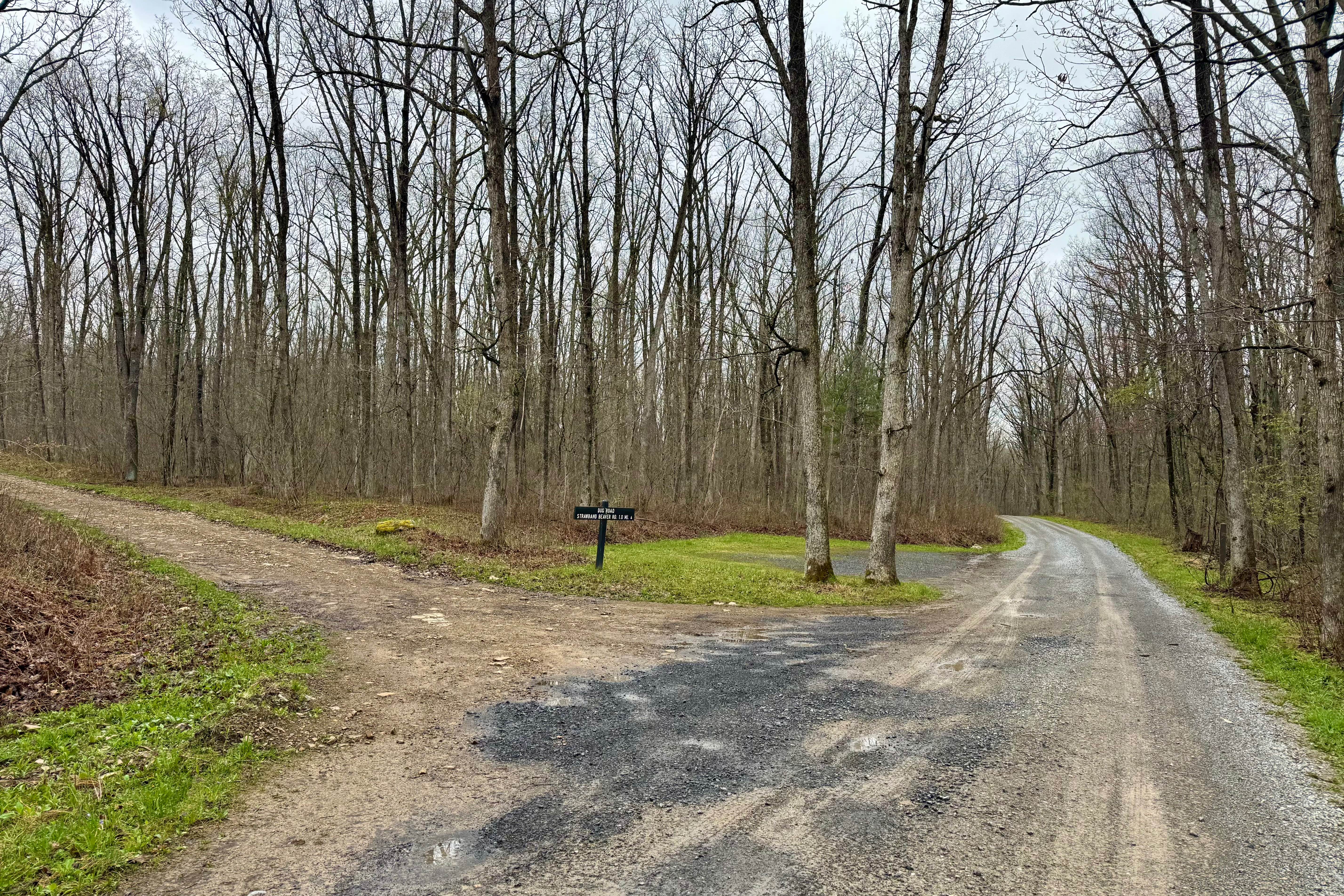
Dug Road
Total Miles
2.5
Technical Rating
Best Time
Spring, Summer, Fall
Trail Type
Full-Width Road
Accessible By
Trail Overview
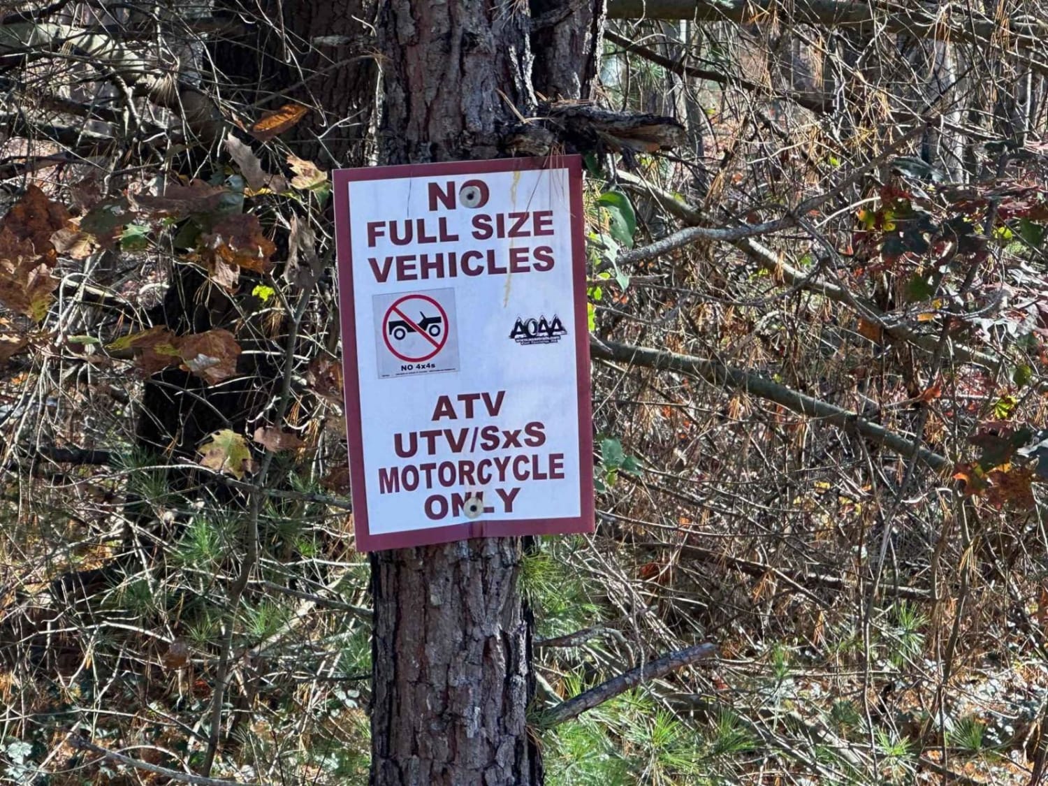
Dug Road is a minimally maintained forest service road in Moshannon State Forest. It is noteworthy for its elevation change between its high point on the Allegheny Front at over 2100 feet, and its low point about 500 feet below over the course of a mile of this forest service road's length. In the spring and fall, when the leaves are off the trees, there are some dramatic views, and one area to pull off just below the high point to pause and ponder those views. The road surface is dirt with fist-sized to football-sized rocks embedded in it. It makes for a bumpy ride, so you may want to air down for comfort. Not recommended for winter travel if snow or ice could be on the ground.
Photos of Dug Road
Difficulty
The road is rocky, but not technical. On the southern part with the single switchback, there are limited places to pass, and it is relatively narrow over its entire length. It could be problematic to traverse with snow and ice on the ground.
Status Reports
Dug Road can be accessed by the following ride types:
- High-Clearance 4x4
- SUV
Dug Road Map
Popular Trails
Mountain Ridge ATV Park Singletrack CC
Camp Mountain Road

The onX Offroad Difference
onX Offroad combines trail photos, descriptions, difficulty ratings, width restrictions, seasonality, and more in a user-friendly interface. Available on all devices, with offline access and full compatibility with CarPlay and Android Auto. Discover what you’re missing today!