Corbin Road
Total Miles
6.0
Technical Rating
Best Time
Spring, Summer, Fall
Trail Type
Full-Width Road
Accessible By
Trail Overview
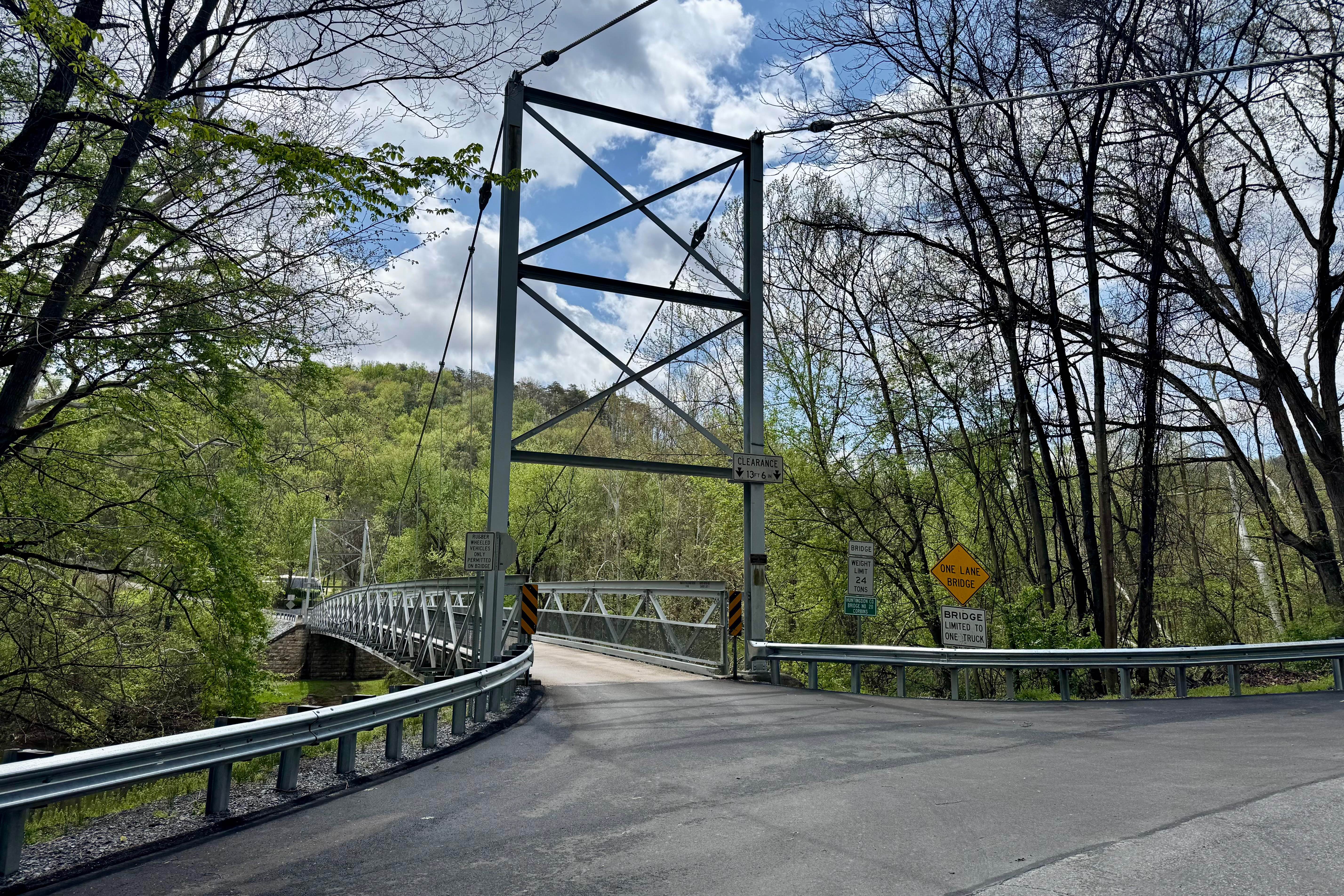
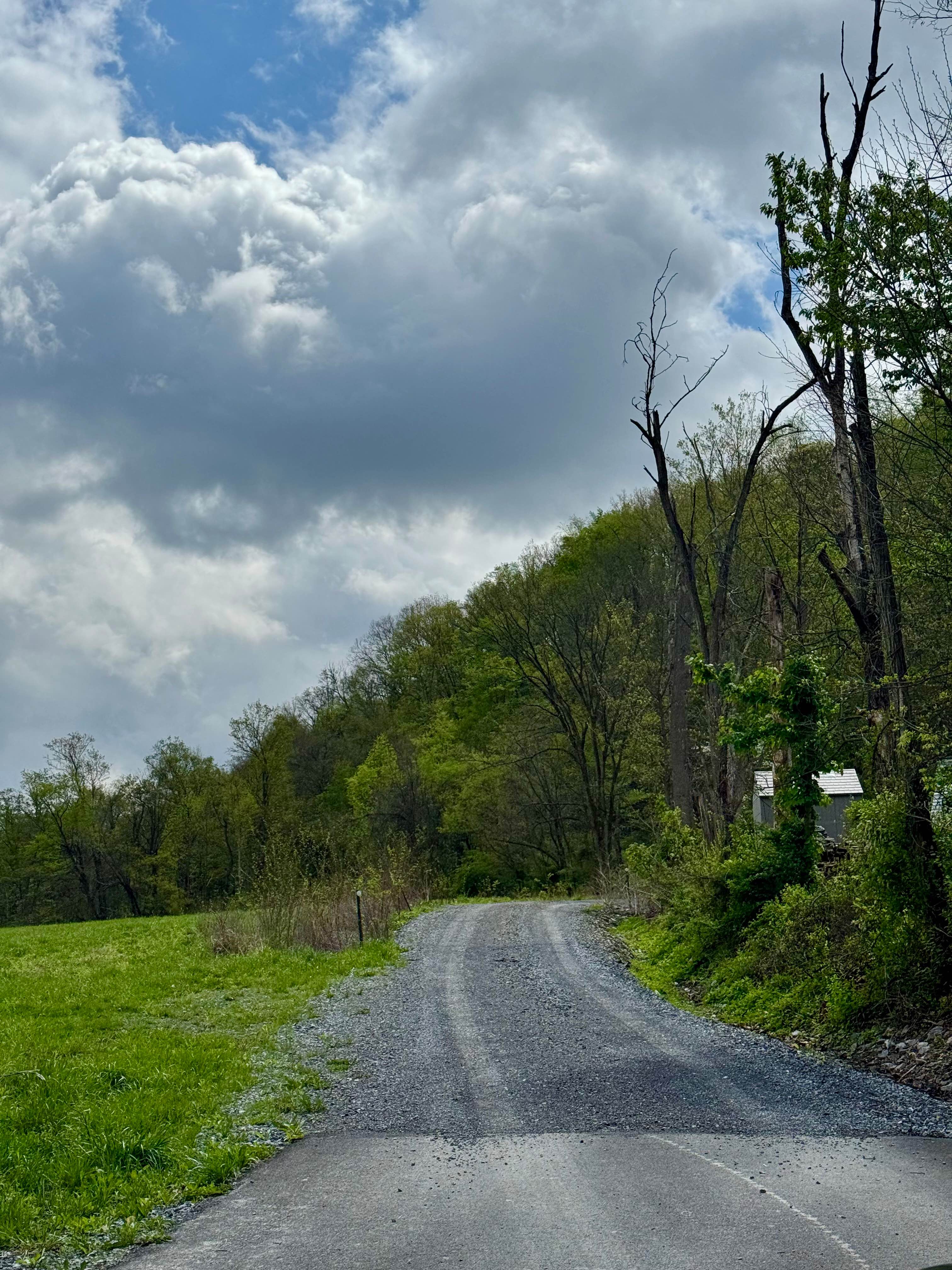
Corbin Road is a minimally maintained township road that crosses the Raystown Branch of the Juniata River on a single-lane suspension bridge and ascends the Terrace Mountain to a high point of about 1100 feet above its start at the bridge, eventually reaching over 1600 feet in elevation. There is a nice vista about a mile from the bridge. Please note that the road is public, but except for a small area just past that vista and a parking area to access the Terrace Mountain Trail trailhead, this road passes through multiple private properties. Be respectful of these properties, their owners, and the posted signs. It is a rocky and sometimes rutted road, and locals report that having a handful of cars slide off it each winter is not unusual. Consider restricting your visit to warmer months, as there is no guardrail at any point. There are some nice views of the river and Raystown Lake to be had, and it is a pleasant drive.
Photos of Corbin Road
Difficulty
Largely a gravel road that receives little maintenance. Steep at the north end with some shallow ruts. Generally, 1 to 2 vehicles wide at the north and 2 vehicles wide in the south. Winter travel is not recommended.
Status Reports
Corbin Road can be accessed by the following ride types:
- High-Clearance 4x4
- SUV
Corbin Road Map
Popular Trails
Locust Gap 29
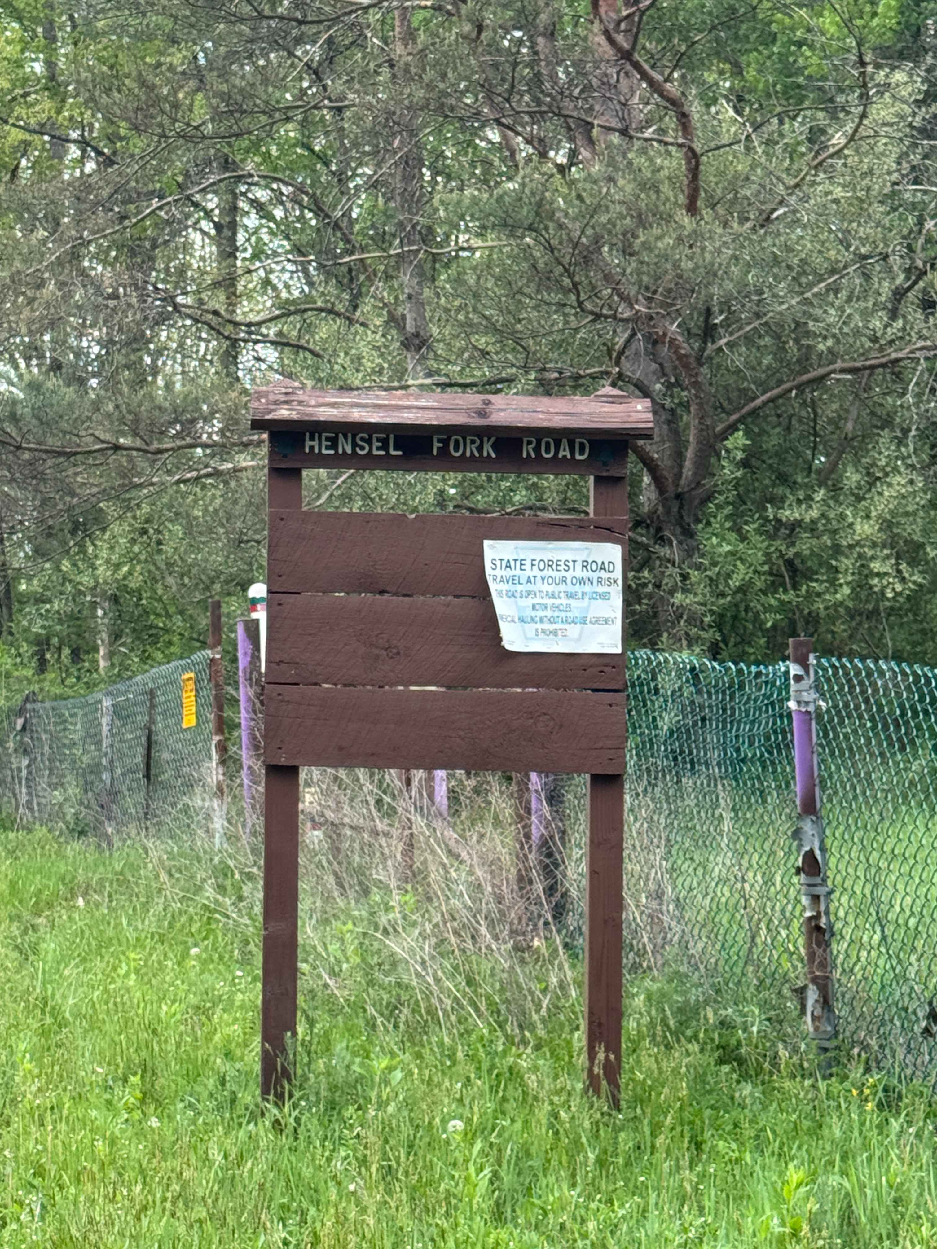
Hensel Fork Road

St. Keirns 80
The onX Offroad Difference
onX Offroad combines trail photos, descriptions, difficulty ratings, width restrictions, seasonality, and more in a user-friendly interface. Available on all devices, with offline access and full compatibility with CarPlay and Android Auto. Discover what you’re missing today!