Bypass
Total Miles
0.2
Technical Rating
Best Time
Spring, Fall, Winter, Summer
Trail Type
High-Clearance 4x4 Trail
Accessible By
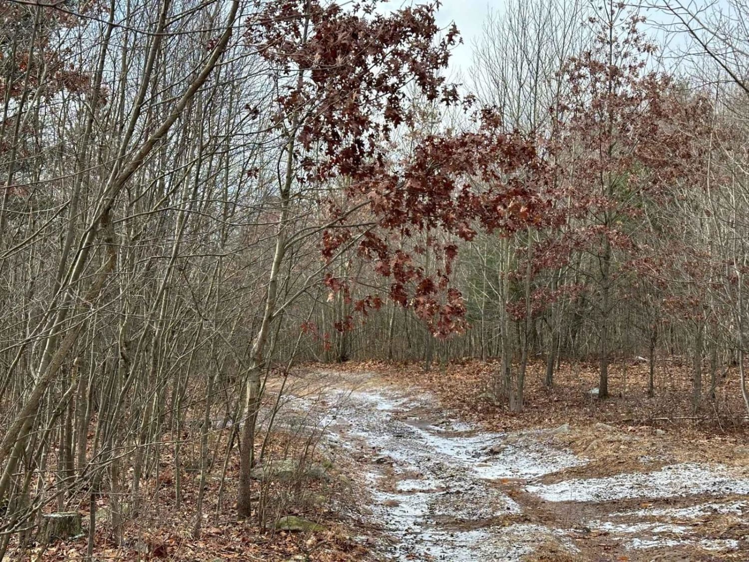
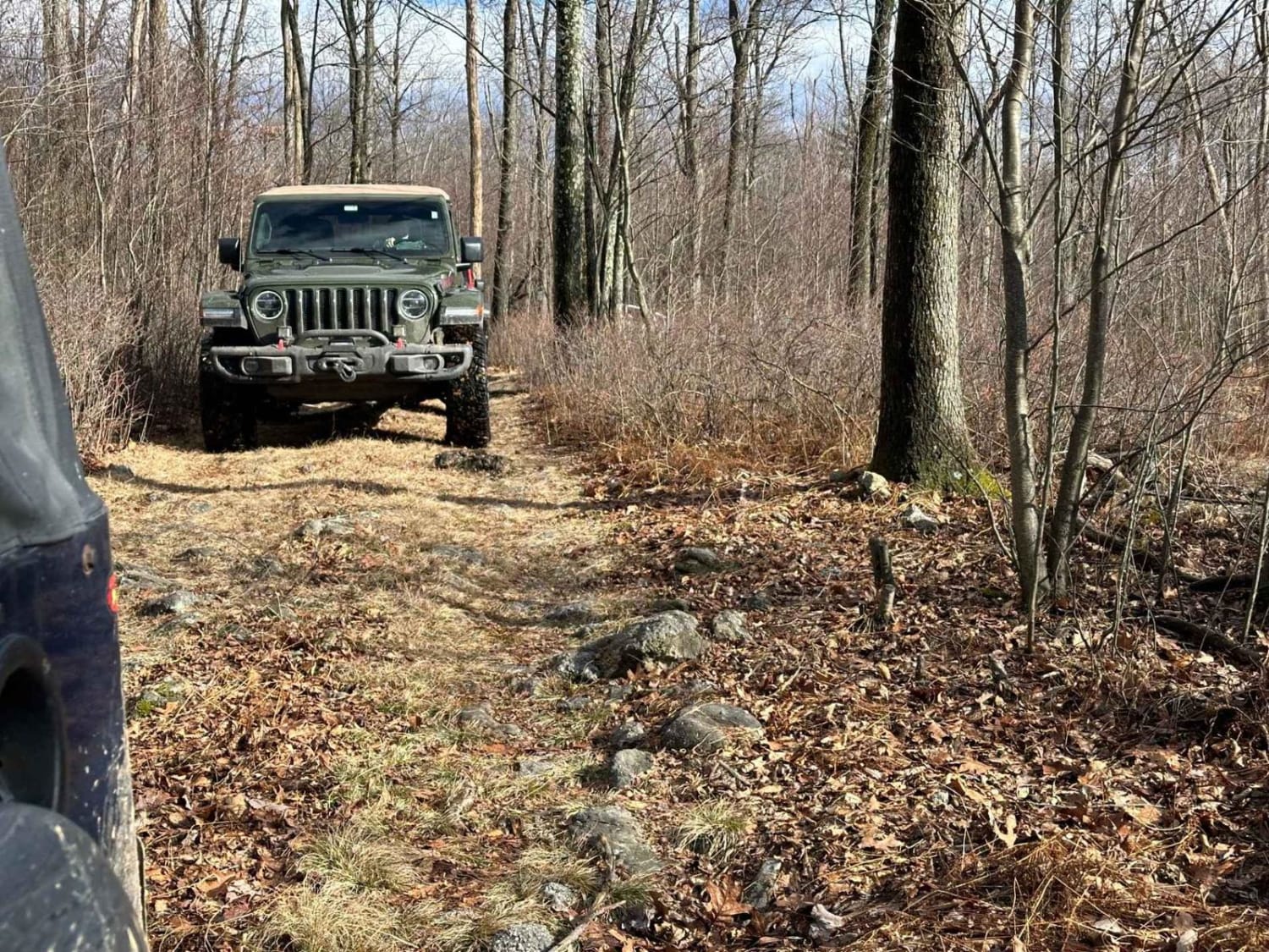
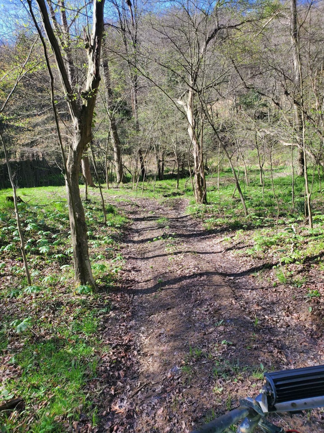
Trail Overview
The bypass serves as a short connection between S trail and a section of the Tatas trail. Initially designed as the original exit, it also functions as a middle exit point for the trail. This narrow and densely vegetated path offers minimal obstacles to navigate, providing a relatively straightforward route for travelers.
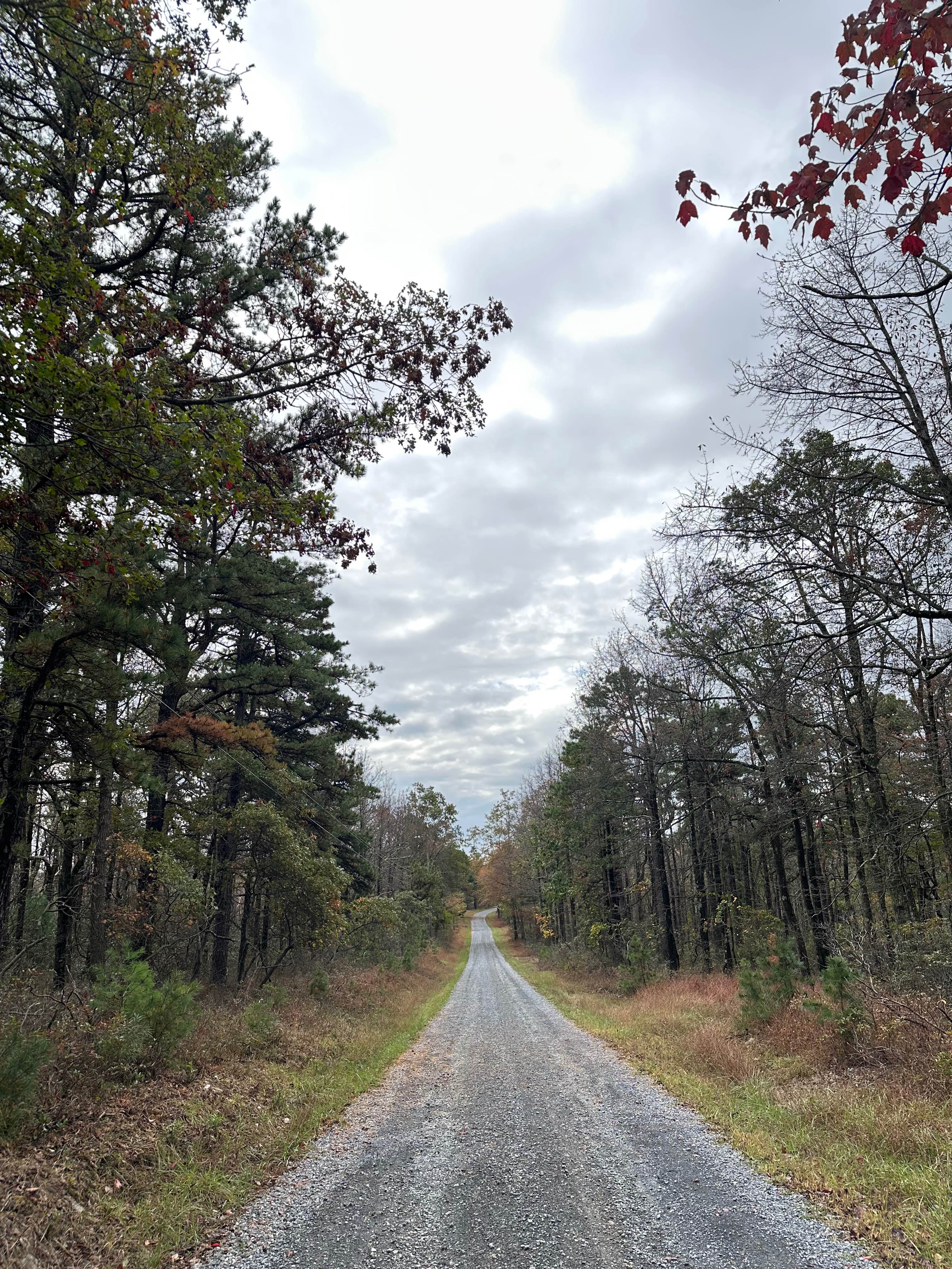
Photos of Bypass
Difficulty
This is an easy trail section with tight brushy areas.
Status Reports
Bypass can be accessed by the following ride types:
- High-Clearance 4x4
Bypass Map
Popular Trails
Ridge Road Extension

Darkwater 33
Dead End - BFR - Black - Difficult

Locust Gap 8
The onX Offroad Difference
onX Offroad combines trail photos, descriptions, difficulty ratings, width restrictions, seasonality, and more in a user-friendly interface. Available on all devices, with offline access and full compatibility with CarPlay and Android Auto. Discover what you’re missing today!