Blacksnake Run
Total Miles
19.4
Technical Rating
Best Time
Fall
Trail Type
Full-Width Road
Accessible By
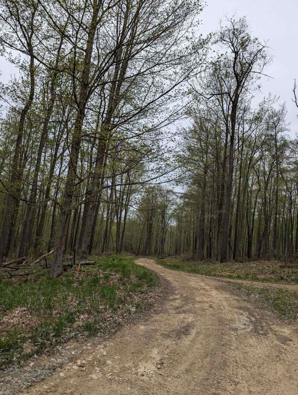
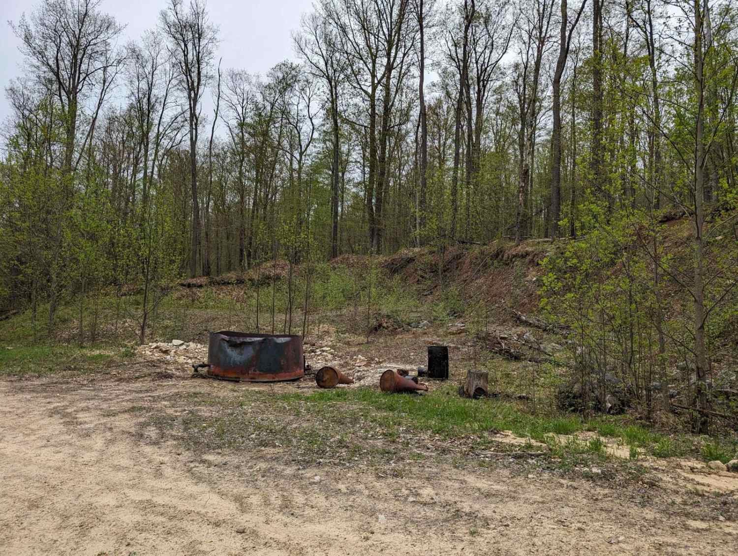
Trail Overview
This is an easy gravel trail that winds through the heart of the Allegheny National Forest. The trail is full of tight switchbacks as you wind your way up and over the rolling hills. You will see plenty of oil wells. There is a very narrow bridge that you have to cross about a quarter mile down the trail from State Route 321.
Photos of Blacksnake Run
Difficulty
There are some short climbs, but mostly it is a 3 due to the narrow bridge.
Status Reports
Blacksnake Run can be accessed by the following ride types:
- High-Clearance 4x4
- SUV
Blacksnake Run Map
Popular Trails

Trail 12J - Rock Run Recreation Area
Ludlow Jojo - FS 133
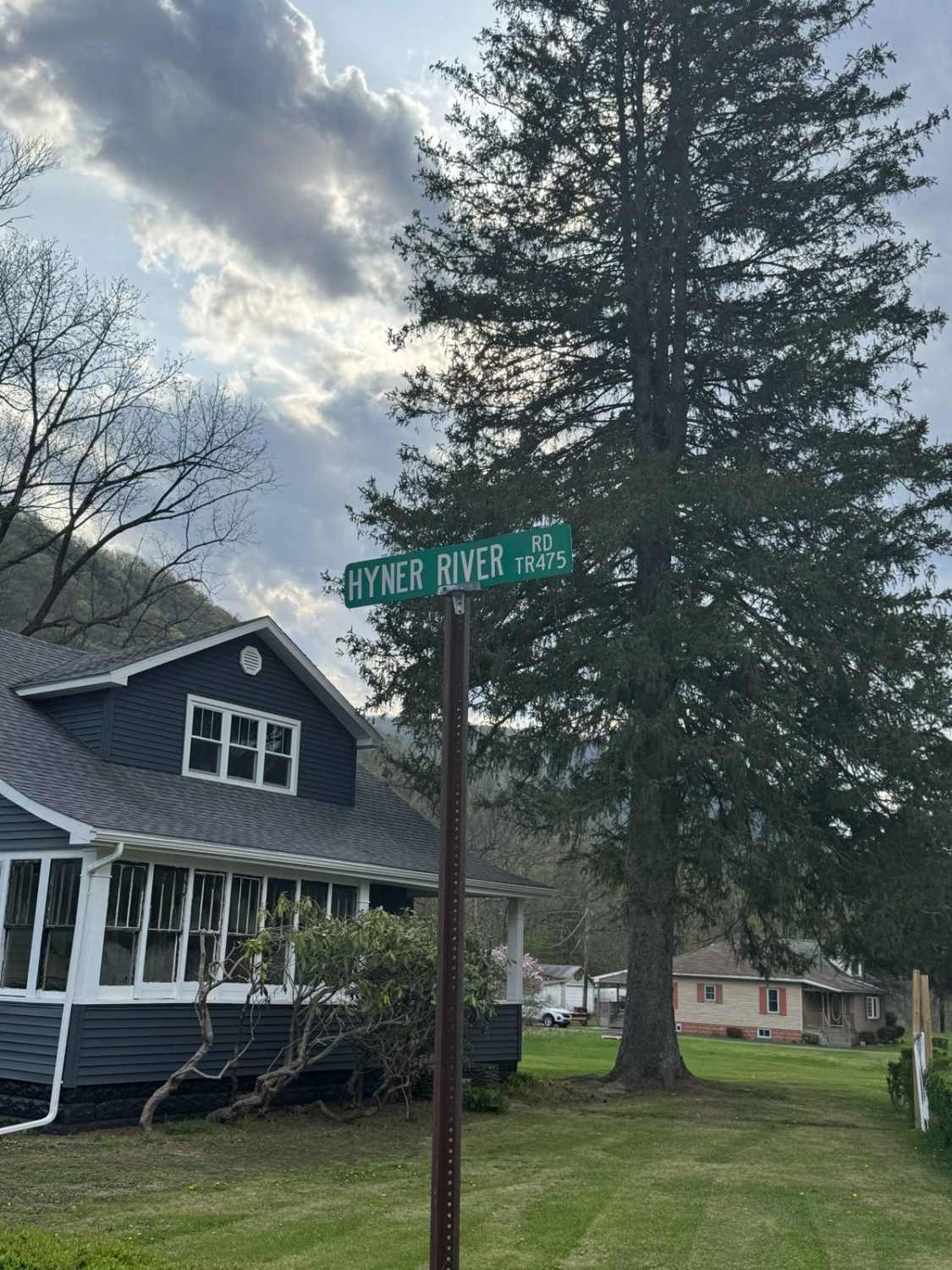
Hyner River Road

Mammoth Trail Alternate Route
The onX Offroad Difference
onX Offroad combines trail photos, descriptions, difficulty ratings, width restrictions, seasonality, and more in a user-friendly interface. Available on all devices, with offline access and full compatibility with CarPlay and Android Auto. Discover what you’re missing today!