131-133 Connector Trail
Total Miles
0.2
Technical Rating
Best Time
Spring
Trail Type
Full-Width Road
Accessible By
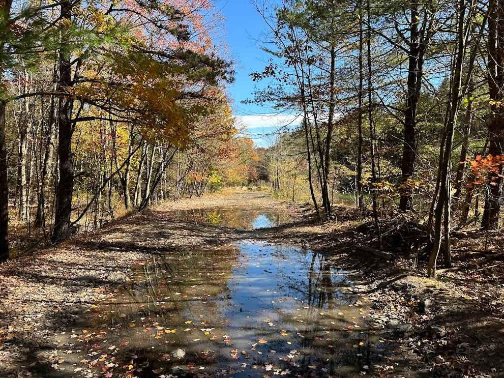
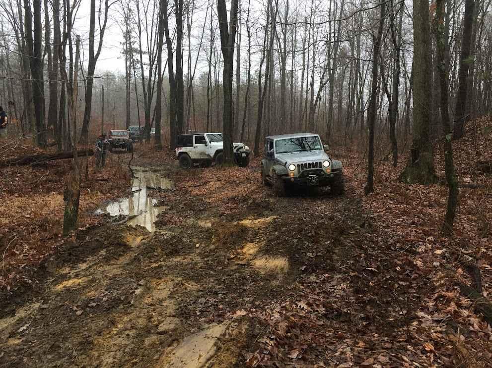
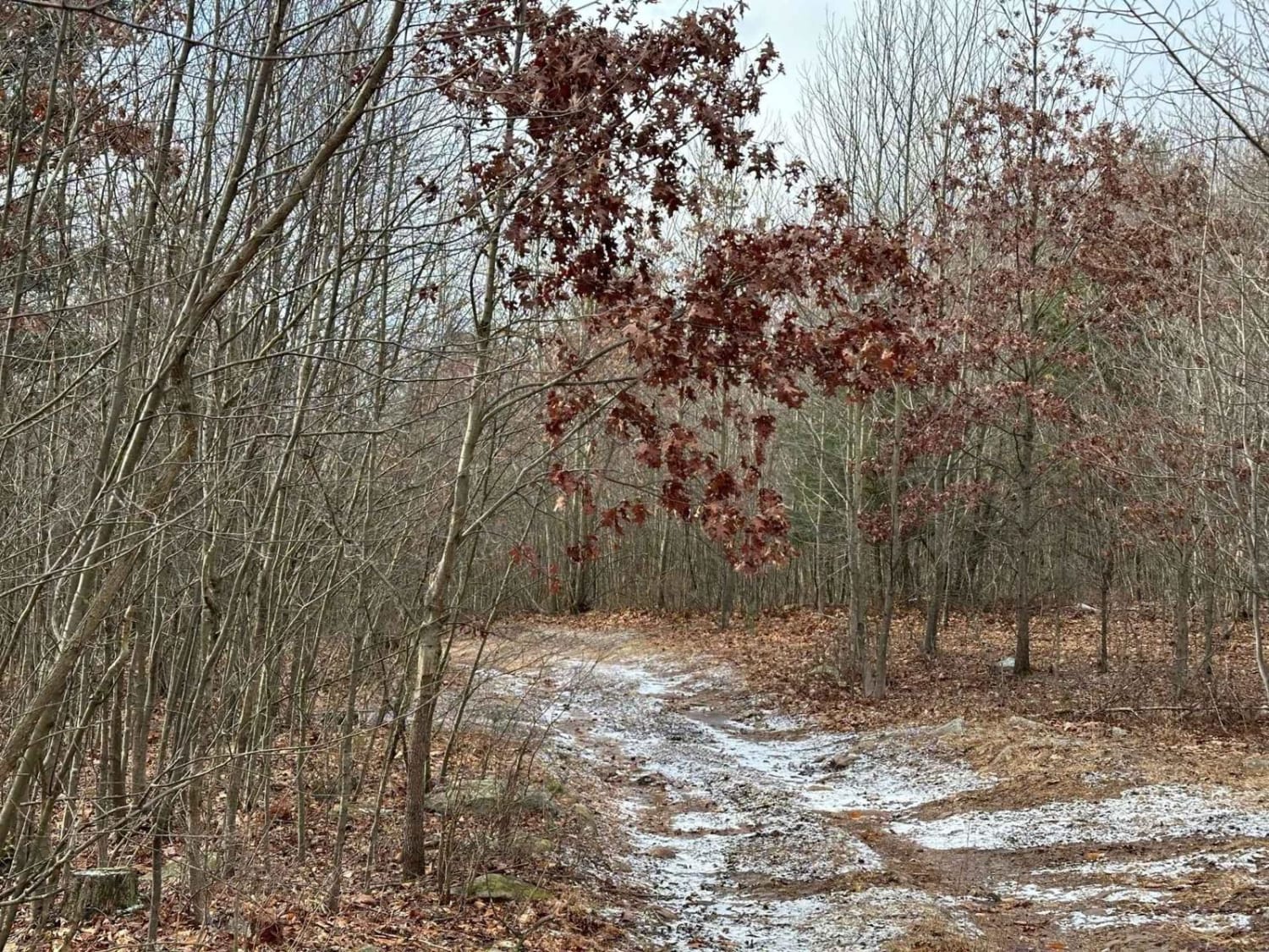
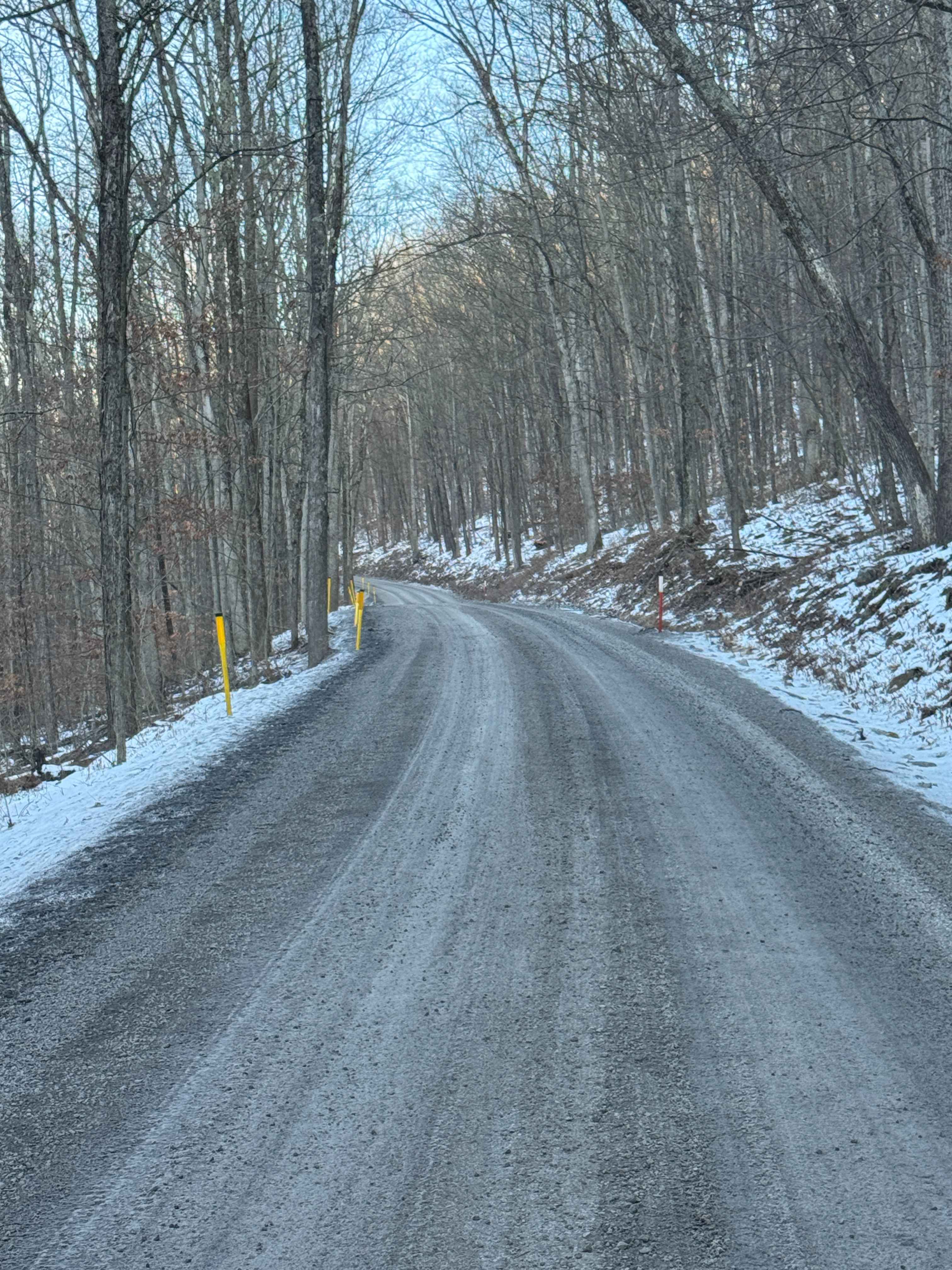
Trail Overview
This side trail is a connector between two trails. What was once a road is now a trail with obstacles. It can be a very muddy and watery trail depending on conditions. It will cross over between two trails of similar levels. Watch your line to not get stuck.
Photos of 131-133 Connector Trail
Difficulty
It can get very muddy in the spring, so it can be challenging.
Status Reports
131-133 Connector Trail can be accessed by the following ride types:
- High-Clearance 4x4
- SUV
- SxS (60")
- ATV (50")
- Dirt Bike
131-133 Connector Trail Map
Popular Trails
Bodine Mountain Road

20 Green - A
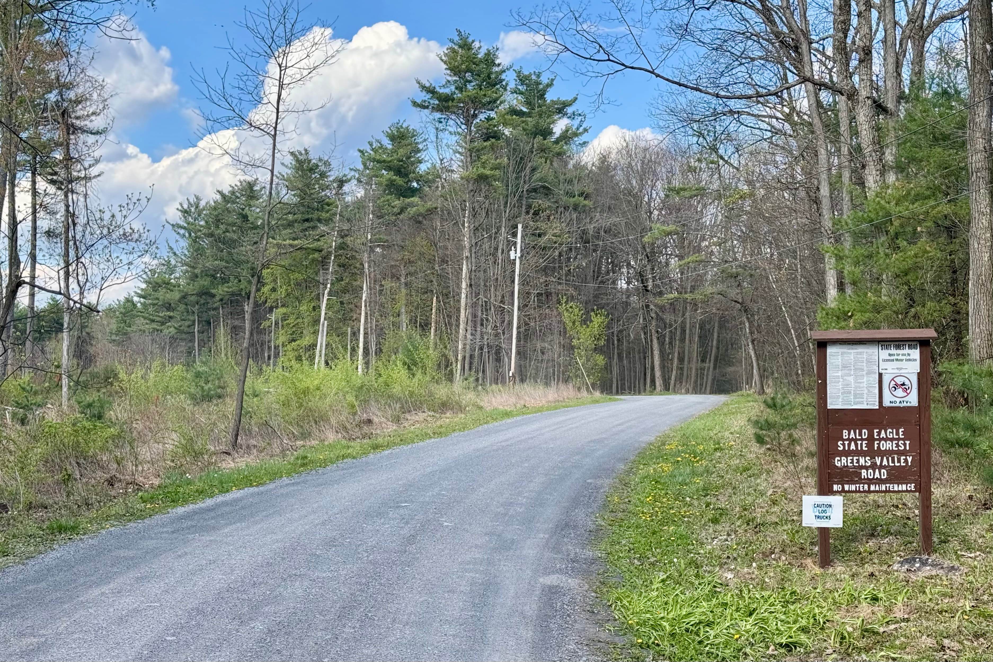
Greens Valley Road
The onX Offroad Difference
onX Offroad combines trail photos, descriptions, difficulty ratings, width restrictions, seasonality, and more in a user-friendly interface. Available on all devices, with offline access and full compatibility with CarPlay and Android Auto. Discover what you’re missing today!