#41E (Moderate)
Total Miles
0.2
Technical Rating
Best Time
Spring, Fall
Trail Type
Single Track
Accessible By
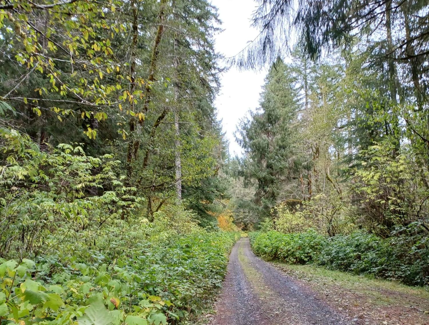
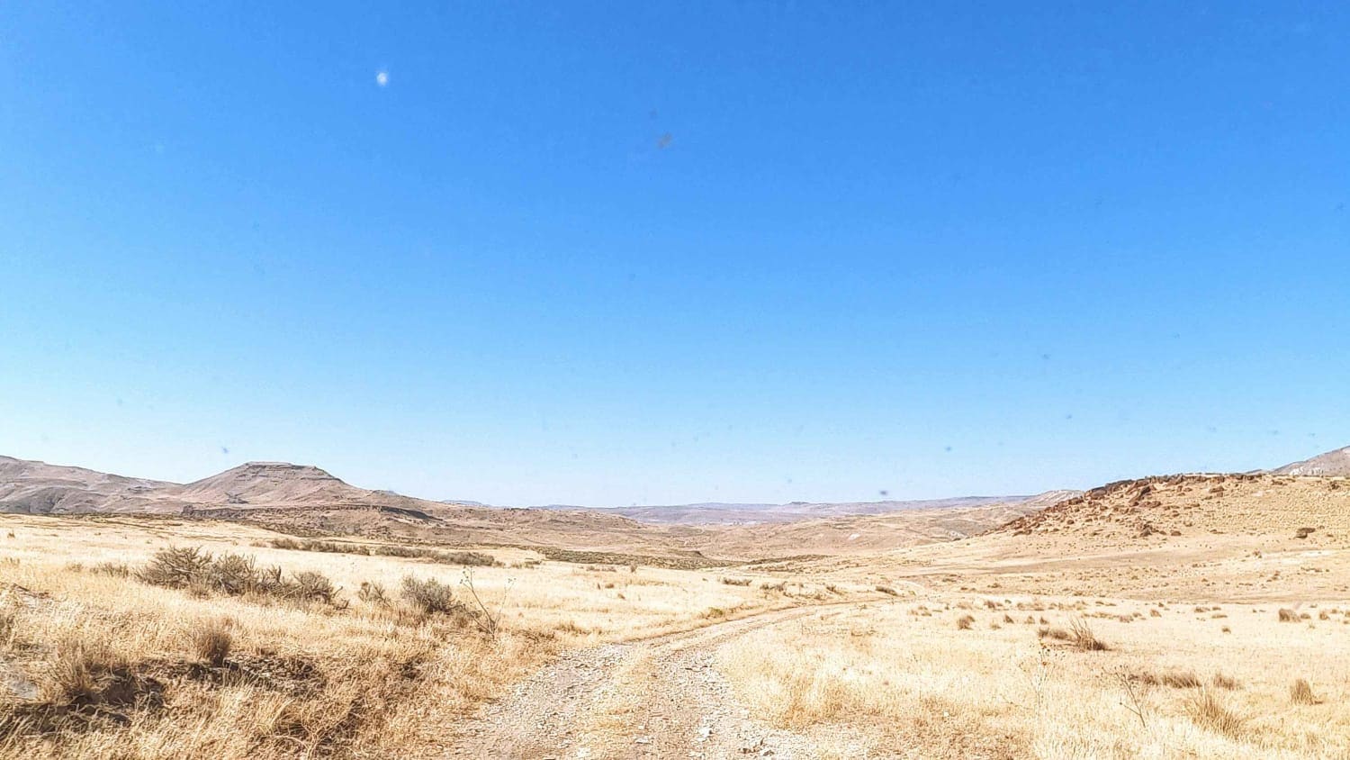
Trail Overview
This is a short but steep singletrack segment connecting two forest roads, gaining 145 feet over just 300 yards. The trail features a continuous hill climb with loose rocks and rutted sections, including embedded roots and rock layers that challenge traction. It narrows near the bottom, and the grade stays steep throughout. While brief, the sustained incline and uneven surface make it a solid intermediate climb for riders looking to test their uphill skills.
Photos of #41E (Moderate)


Difficulty
This is an intermediate trail due to its steep gradient and loose, root-filled terrain despite its short length.
Status Reports
#41E (Moderate) can be accessed by the following ride types:
- Dirt Bike
#41E (Moderate) Map
Popular Trails

Firebreak 5 Jeep Badge of Honor Trail

The onX Offroad Difference
onX Offroad combines trail photos, descriptions, difficulty ratings, width restrictions, seasonality, and more in a user-friendly interface. Available on all devices, with offline access and full compatibility with CarPlay and Android Auto. Discover what you’re missing today!