N4450
Total Miles
4.8
Technical Rating
Best Time
Spring, Summer, Fall, Winter
Trail Type
Full-Width Road
Accessible By
Trail Overview
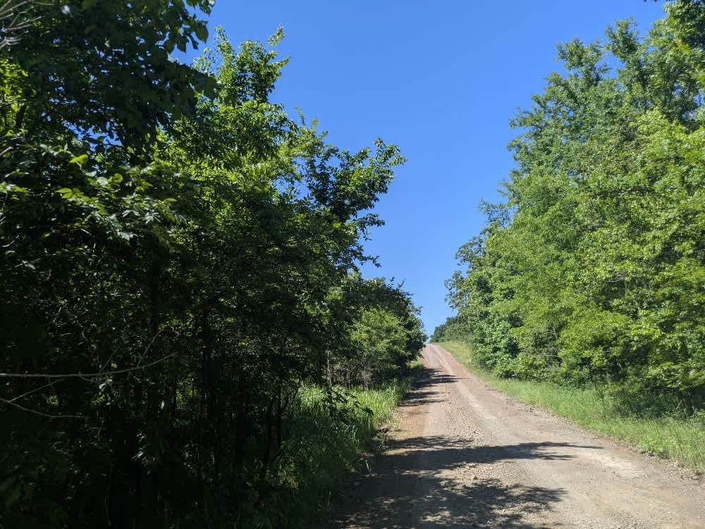
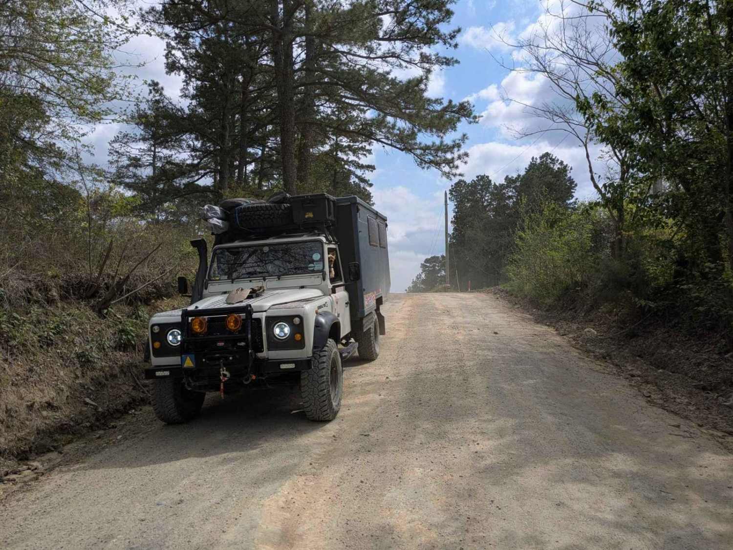
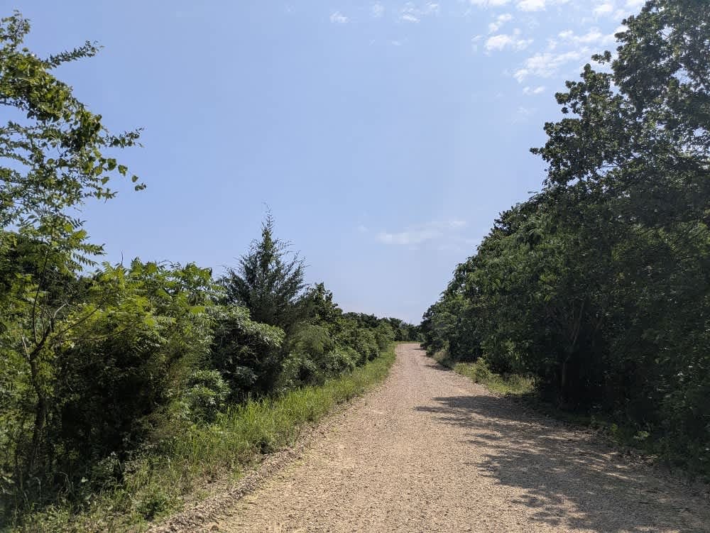
This trail is fairly well maintained and wider than many of the larger routes in the Wildlife Management Area, with a smoother gravel surface that makes for a more relaxed drive. It doesn't appear to see much traffic, and several side trails branch off, many of them narrow and overgrown. While the trail includes some steady climbs, descents, and the usual bumps and potholes, it's still a scenic route worth exploring. A highlight is the old concrete bridge over the creek, which makes a great spot to stop and cool off in summer--just be mindful of snakes in the area. There are no formal or dispersed campsites, no water or trash facilities, and limited cell coverage, so plan accordingly and check your OnX app ahead of time.
Photos of N4450
Difficulty
This trail is maintained throughout the year and is used by hunters and rangers on a regular basis.
History
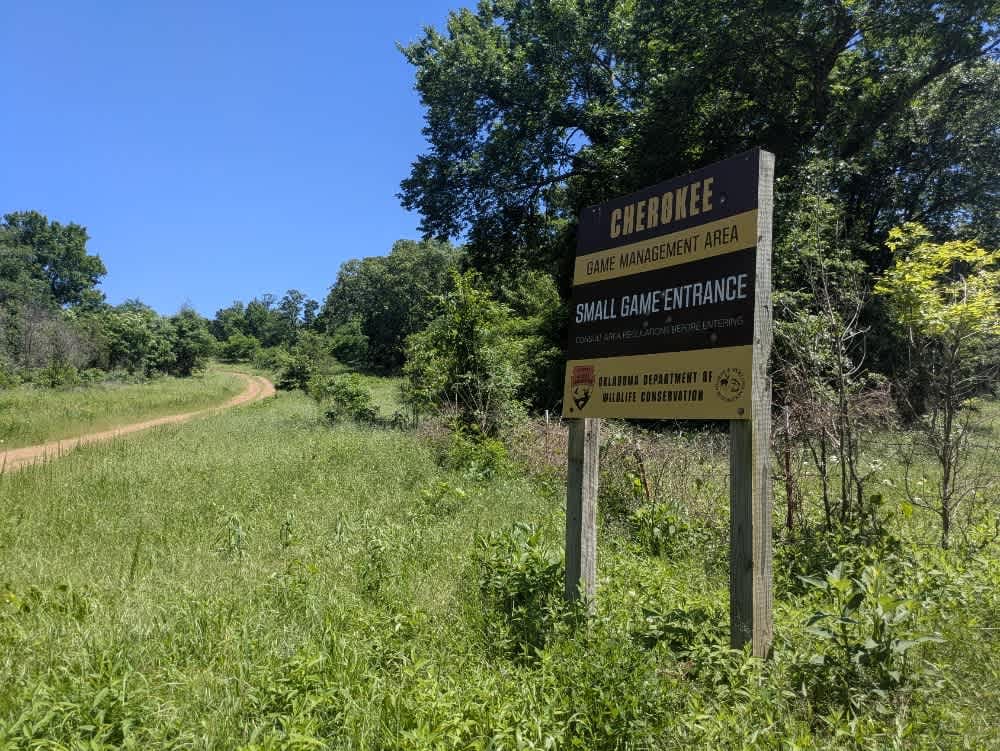
Cherokee Wildlife Management Area occupies more than 31,000 acres of rolling oak-hickory hills, meadows, and pond-dotted creek bottoms in southwestern Cherokee County. The property is split almost evenly between a 16,000-acre Public Hunting Area that stays open for statewide seasons and a 15,360-acre Game Management Area reserved mainly for controlled hunts, allowing wildlife managers to balance public access with habitat protection.
Status Reports
N4450 can be accessed by the following ride types:
- High-Clearance 4x4
- SUV
N4450 Map
Popular Trails
Nani Chito Road

The onX Offroad Difference
onX Offroad combines trail photos, descriptions, difficulty ratings, width restrictions, seasonality, and more in a user-friendly interface. Available on all devices, with offline access and full compatibility with CarPlay and Android Auto. Discover what you’re missing today!