Anderson Trail
Total Miles
4.3
Technical Rating
Best Time
Spring, Summer, Fall, Winter
Trail Type
Full-Width Road
Accessible By
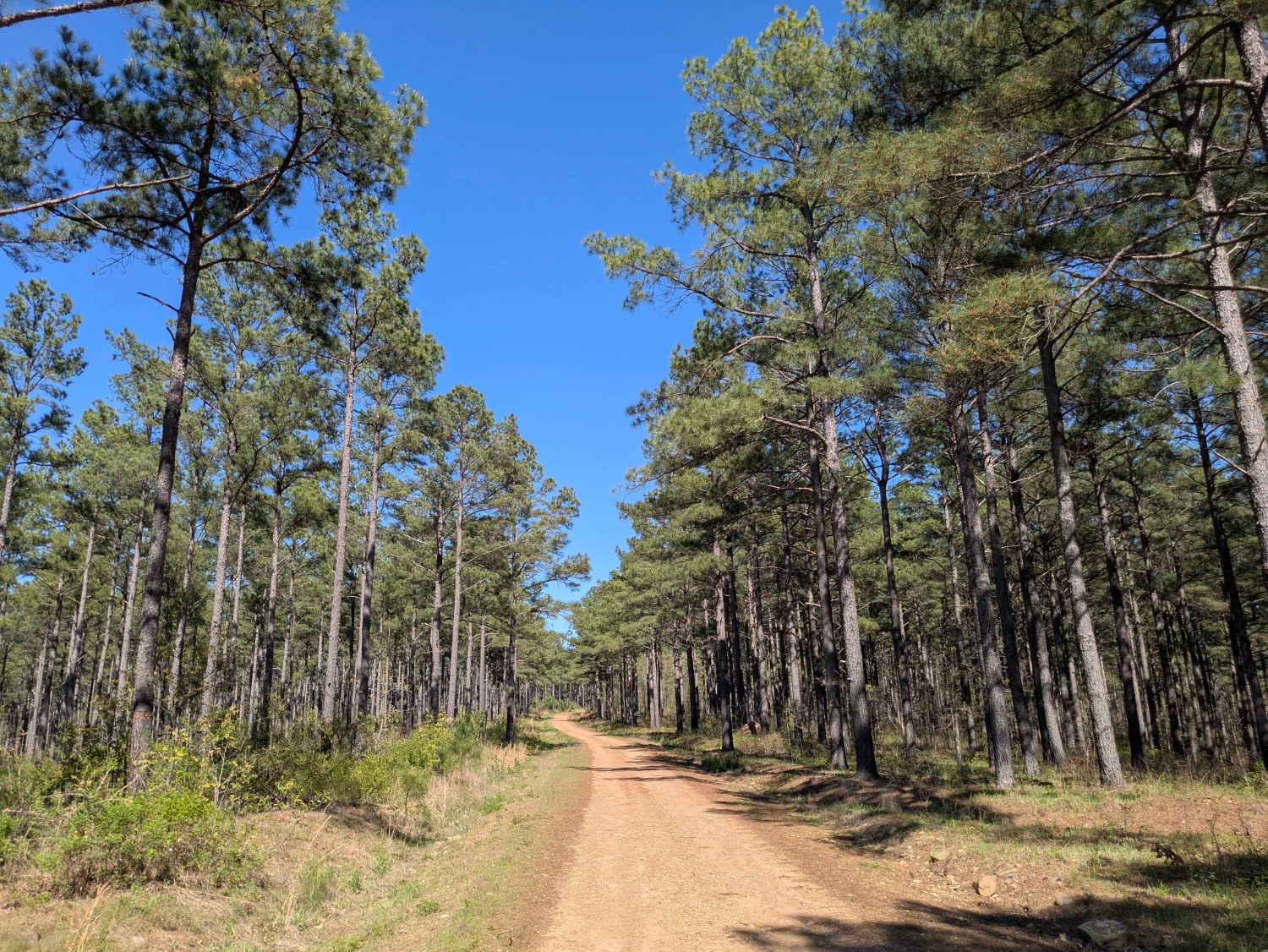
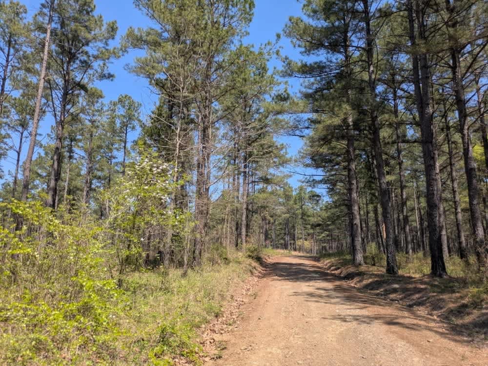
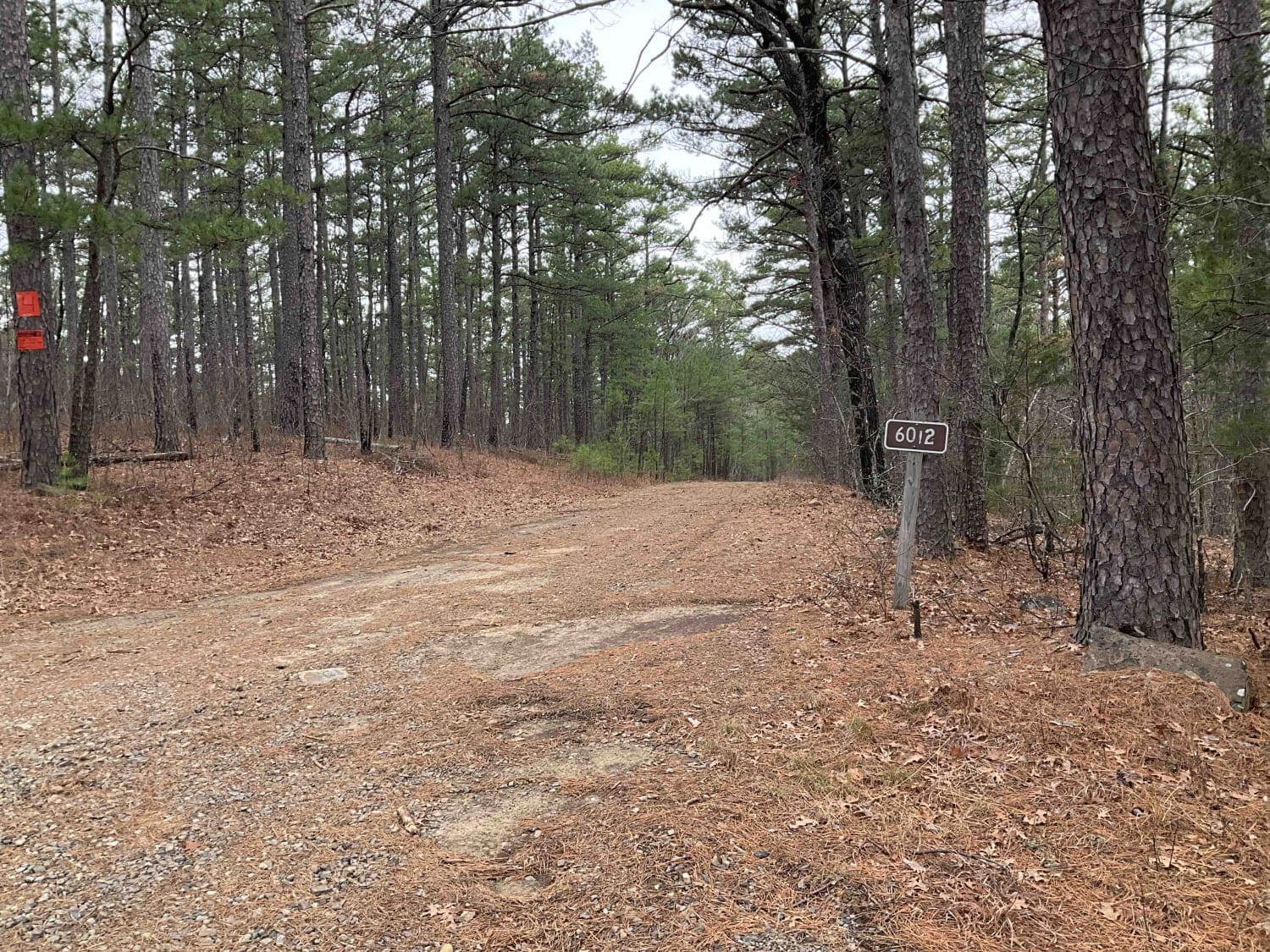
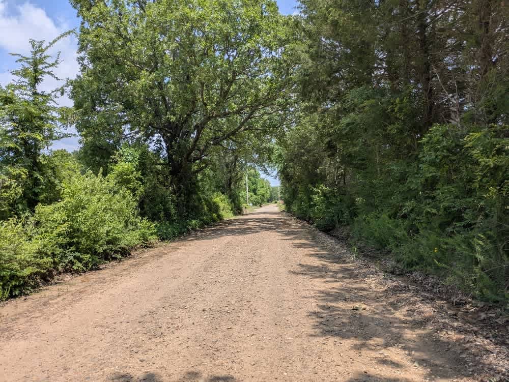
Trail Overview
This scenic off-road route, known as the Anderson Trail, serves as a primary connector between higher and lower trails in the region. Although it is predominantly well-maintained gravel, a handful of rocky sections and muddy puddles--particularly in April--add an element of challenge. Two vehicles can pass comfortably, and drivers will encounter a few relatively steep ascents, descents, and low-water crossings. While this trail offers dispersed campsites, it lacks amenities such as trash disposal or water supply, and cell service remains limited.
Photos of Anderson Trail
Difficulty
Well-maintained trail with several spurs to venture down.
History
The Ouachita National Forest was established in 1907, making it the oldest national forest in the South. Long before that, Native American tribes like the Caddo and Choctaw lived and traveled through these mountains. In the late 1800s, settlers arrived for logging and mining, but concerns about preserving the land led to federal protection. Today, the forest covers over 1.8 million acres across Arkansas and Oklahoma. With its rugged ridges, clear streams, and diverse wildlife, the Ouachita remains a place where nature and history meet--and every trail tells part of the story.
Status Reports
Anderson Trail can be accessed by the following ride types:
- High-Clearance 4x4
- SUV
- SxS (60")
- ATV (50")
- Dirt Bike
Anderson Trail Map
Popular Trails

Lenox Ridge Road
Goldville Trail

Blake's Trail 2.0
The onX Offroad Difference
onX Offroad combines trail photos, descriptions, difficulty ratings, width restrictions, seasonality, and more in a user-friendly interface. Available on all devices, with offline access and full compatibility with CarPlay and Android Auto. Discover what you’re missing today!