52750
Total Miles
0.9
Technical Rating
Best Time
Spring, Summer, Fall, Winter
Trail Type
Full-Width Road
Accessible By
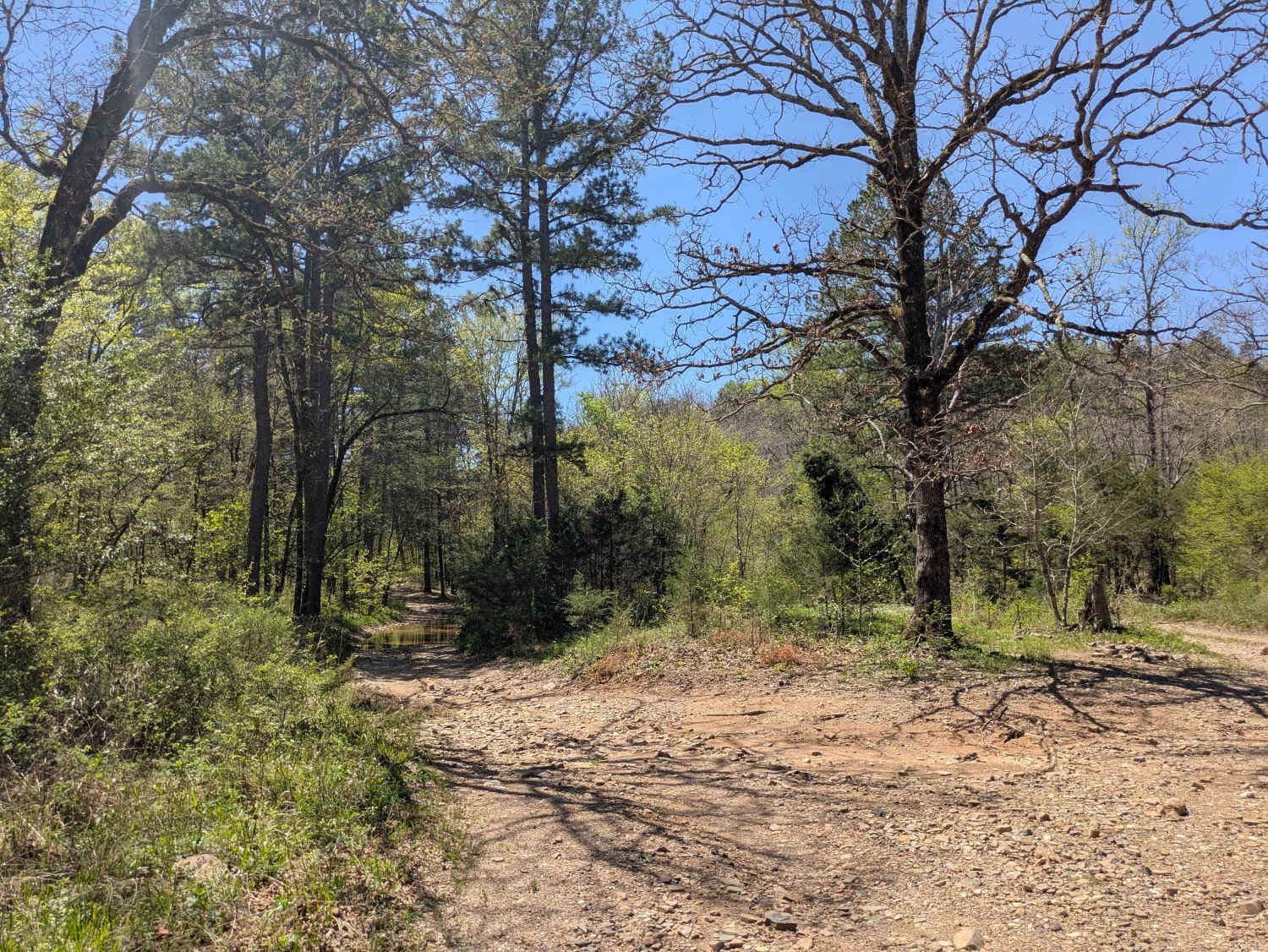
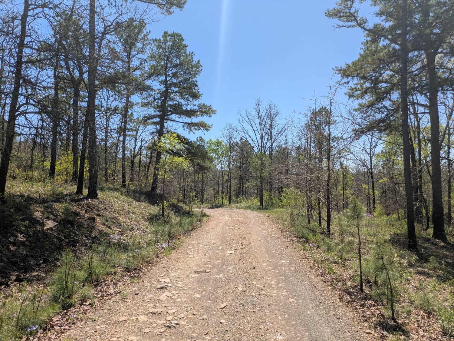
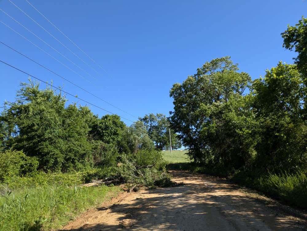
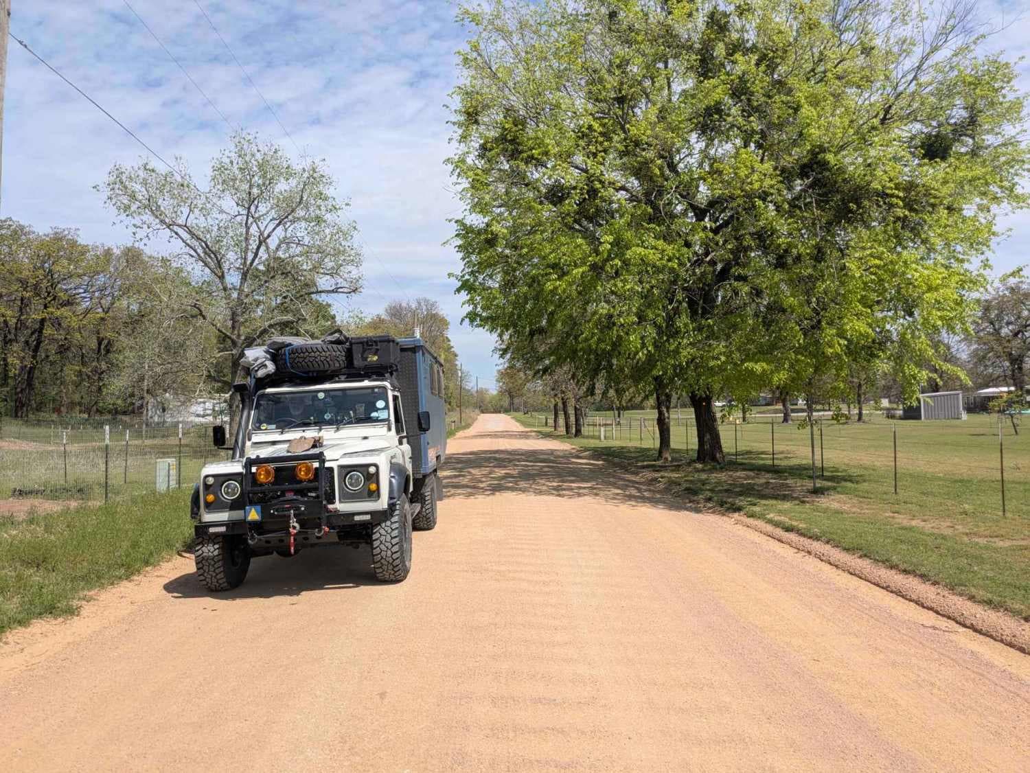
Trail Overview
This narrow, short, and flat trail is exceptionally beautiful and offers a delightful experience for off-road enthusiasts. The route winds through a pristine forest before reaching a clear creek featuring a submerged concrete passway. At the trail's end, a sign--indicating the trail opens in October, though its accuracy may be questionable--marks a fork where one branch leads to a private road and residence. Although dispersed campsites can be found along the way, the trail lacks amenities such as trash disposal and water supply, and cell service remains limited throughout the area.
Photos of 52750
Difficulty
This is a well-maintained trail without any difficult sections.
History
The Ouachita National Forest was established in 1907, making it the oldest national forest in the South. Long before that, Native American tribes like the Caddo and Choctaw lived and traveled through these mountains. In the late 1800s, settlers arrived for logging and mining, but concerns about preserving the land led to federal protection. Today, the forest covers over 1.8 million acres across Arkansas and Oklahoma. With its rugged ridges, clear streams, and diverse wildlife, the Ouachita remains a place where nature and history meet--and every trail tells part of the story.
Status Reports
52750 can be accessed by the following ride types:
- High-Clearance 4x4
- SUV
- SxS (60")
- ATV (50")
- Dirt Bike
52750 Map
Popular Trails

Disappointment

Bunker Hill
South Burnt Cabin Road - Southern Portion
Platter Flats Campground Access Road
The onX Offroad Difference
onX Offroad combines trail photos, descriptions, difficulty ratings, width restrictions, seasonality, and more in a user-friendly interface. Available on all devices, with offline access and full compatibility with CarPlay and Android Auto. Discover what you’re missing today!