Jug run to Girl Scout Camp
Total Miles
6.1
Technical Rating
Best Time
Spring, Summer, Fall, Winter
Trail Type
Full-Width Road
Accessible By
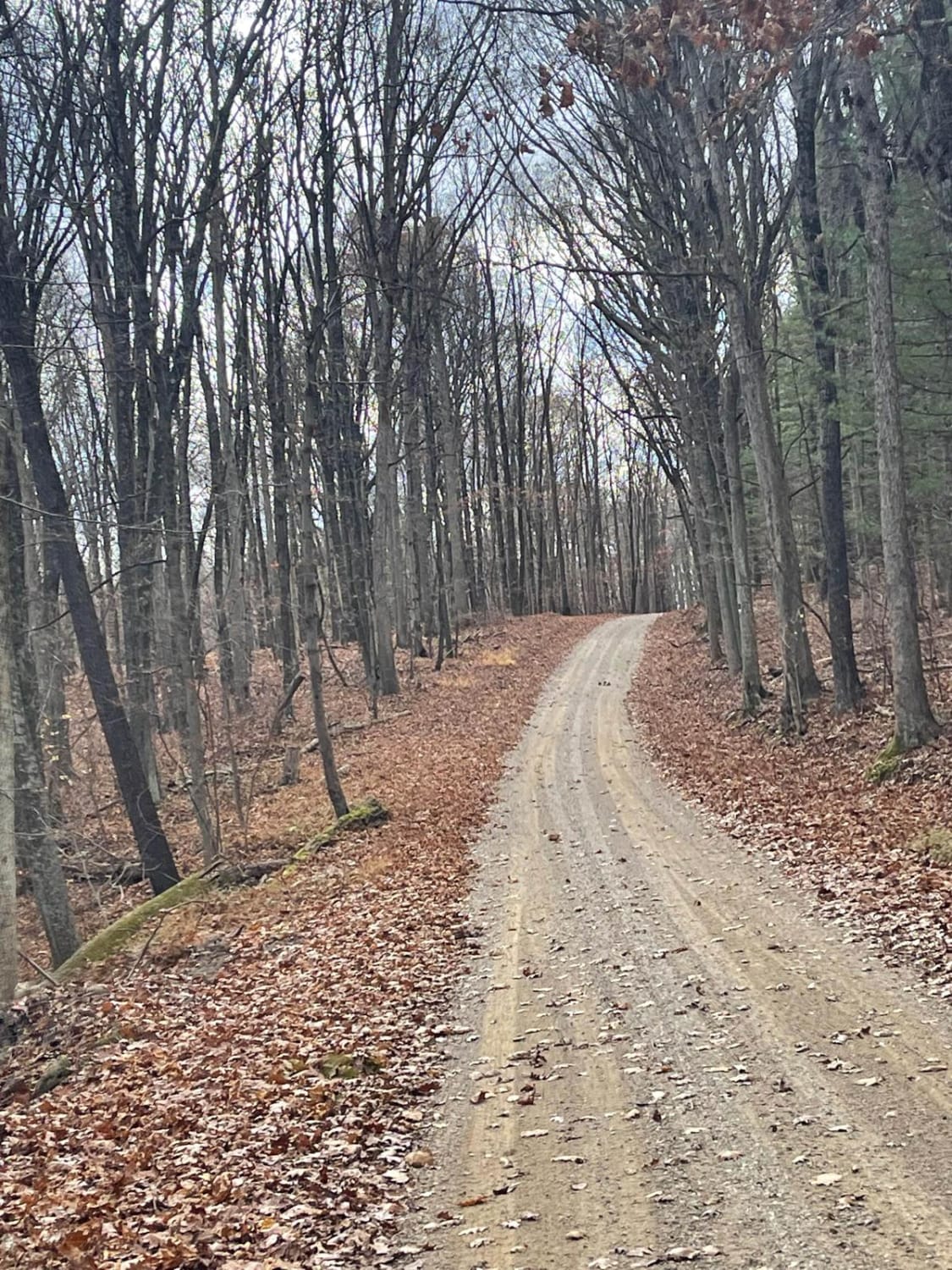
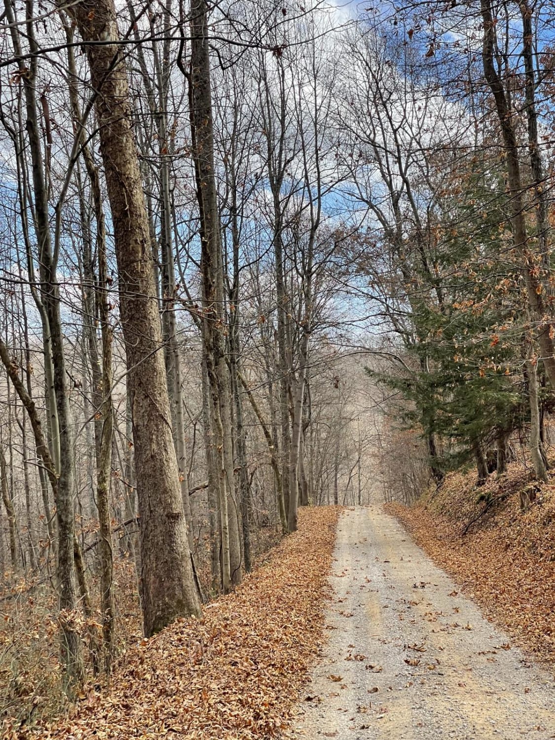
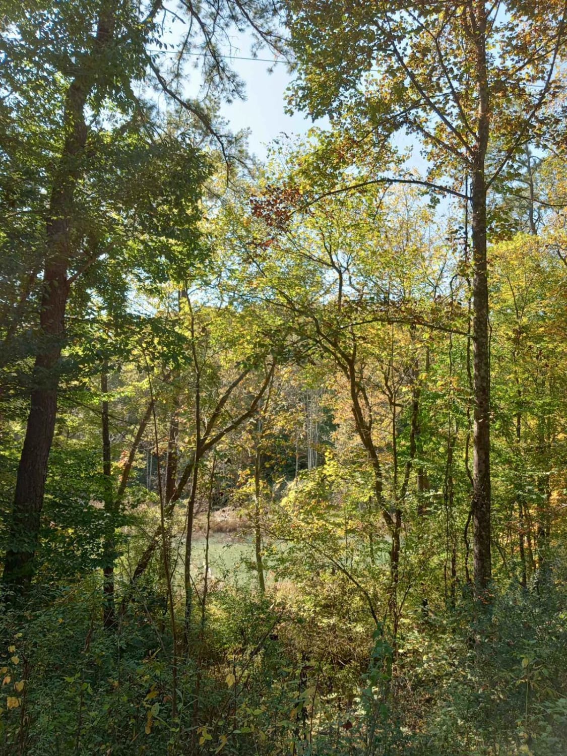
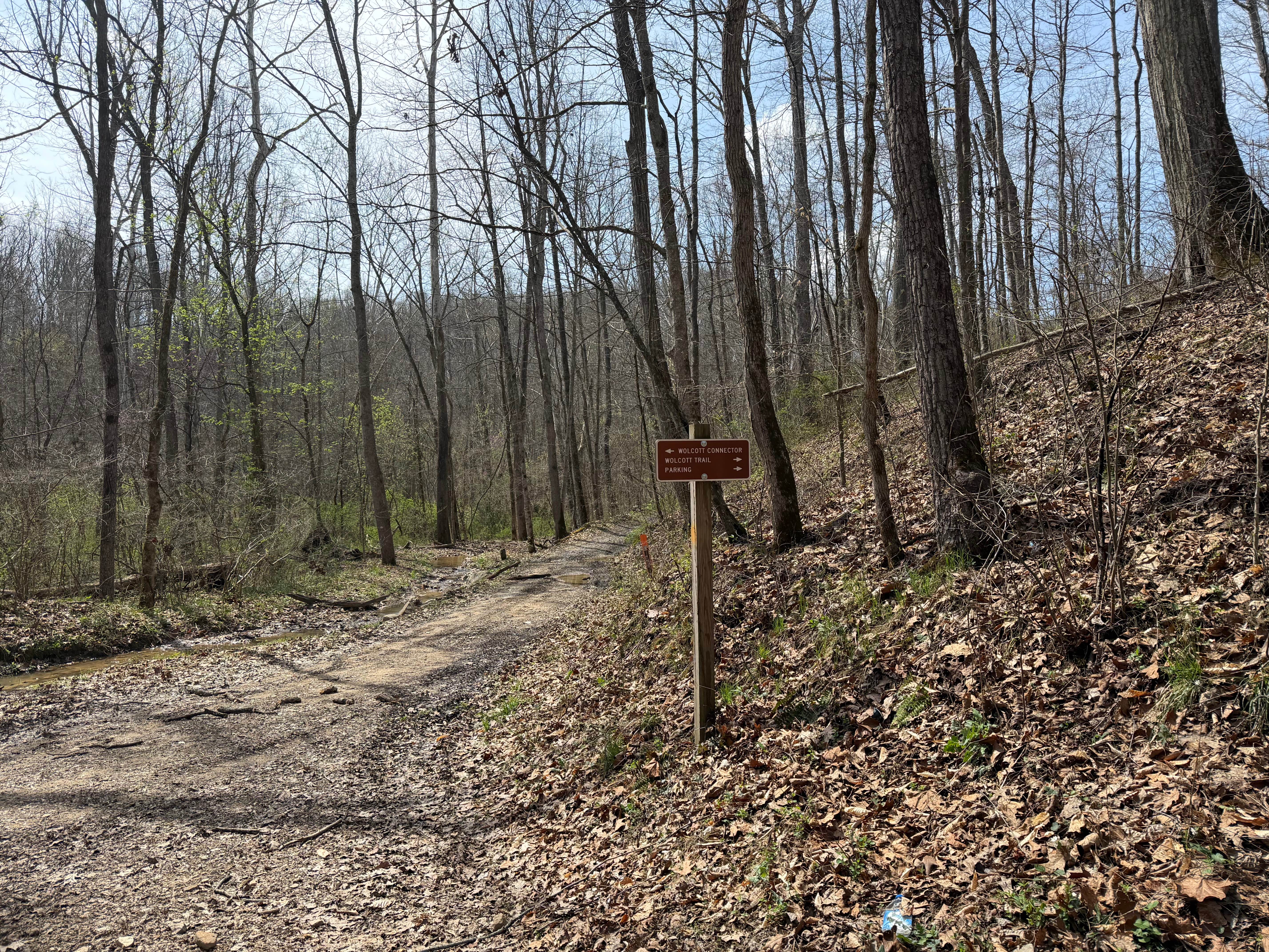
Trail Overview
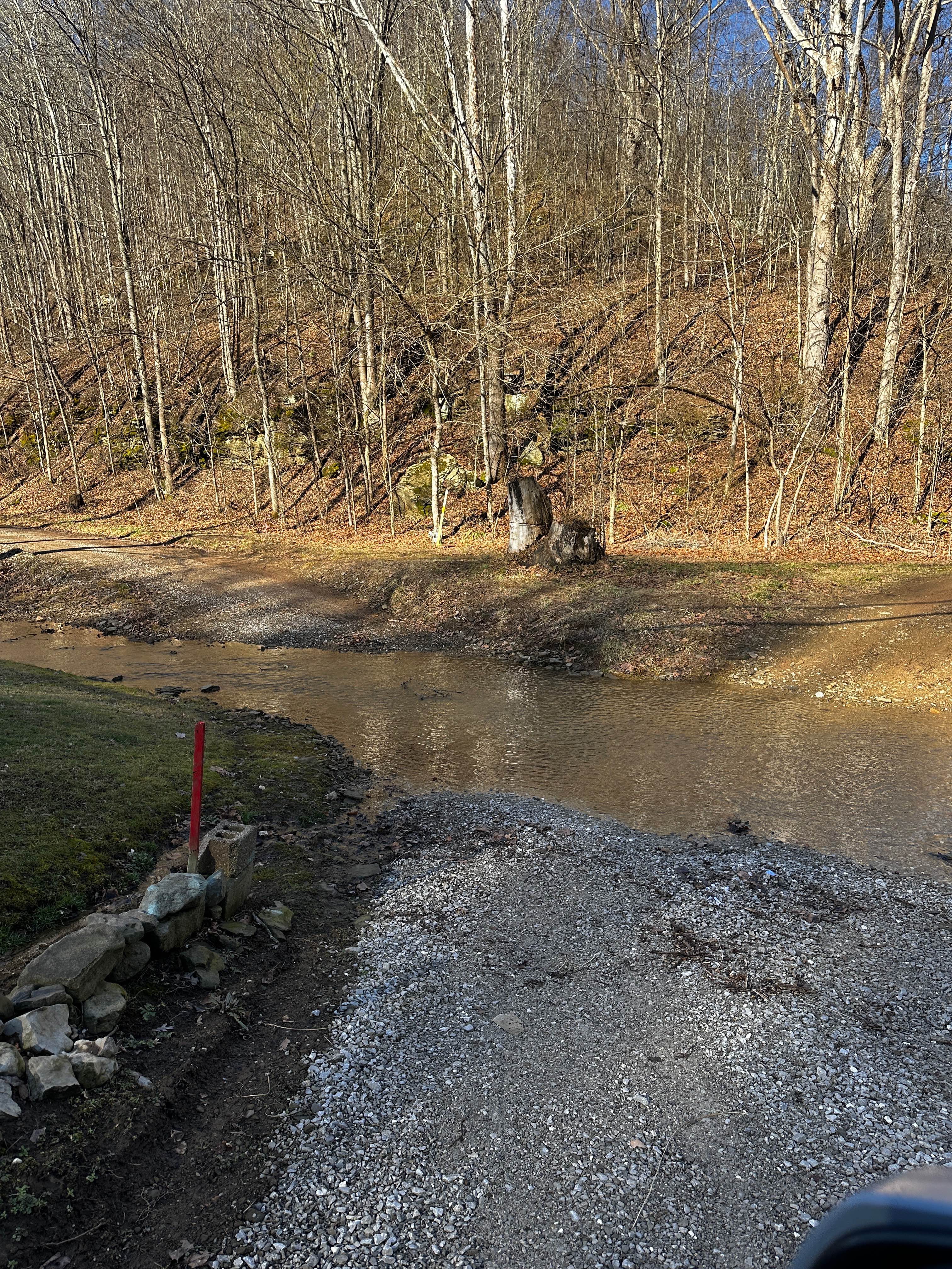
This is a rural country backroad track that becomes a narrow hill climb and can be severely washed out after even a mild rain. There are multiple creek crossings without bridges up to 2 feet deep. Find a beautiful covered bridge with pull-offs and fishing on either side. If traveling south to north in the winter, 32-inch tires (or bigger), chains, and two lockers are recommended.
Photos of Jug run to Girl Scout Camp
Difficulty
This trail is severely steep and can be rutted out after even a mild rain.
Status Reports
Jug run to Girl Scout Camp can be accessed by the following ride types:
- High-Clearance 4x4
- SUV
- SxS (60")
- ATV (50")
- Dirt Bike
Jug run to Girl Scout Camp Map
Popular Trails
The onX Offroad Difference
onX Offroad combines trail photos, descriptions, difficulty ratings, width restrictions, seasonality, and more in a user-friendly interface. Available on all devices, with offline access and full compatibility with CarPlay and Android Auto. Discover what you’re missing today!