Tatham Gap Road - FS 423
Total Miles
7.1
Technical Rating
Best Time
Summer, Fall
Trail Type
Full-Width Road
Accessible By
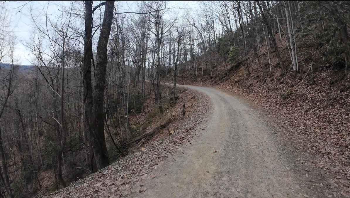
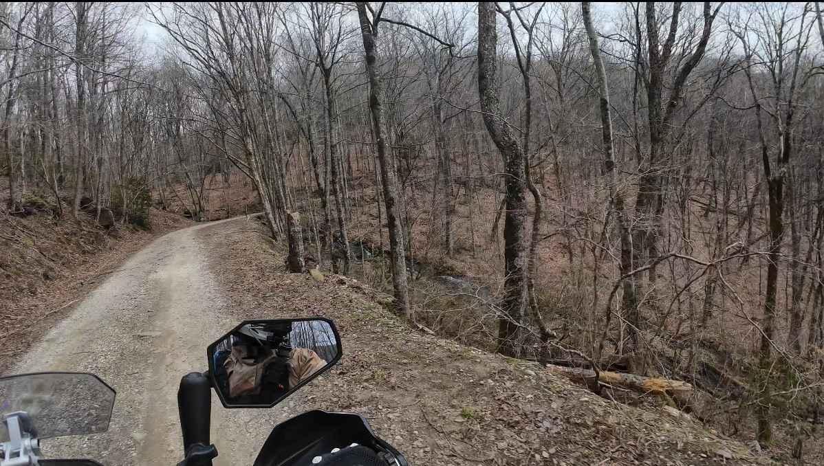
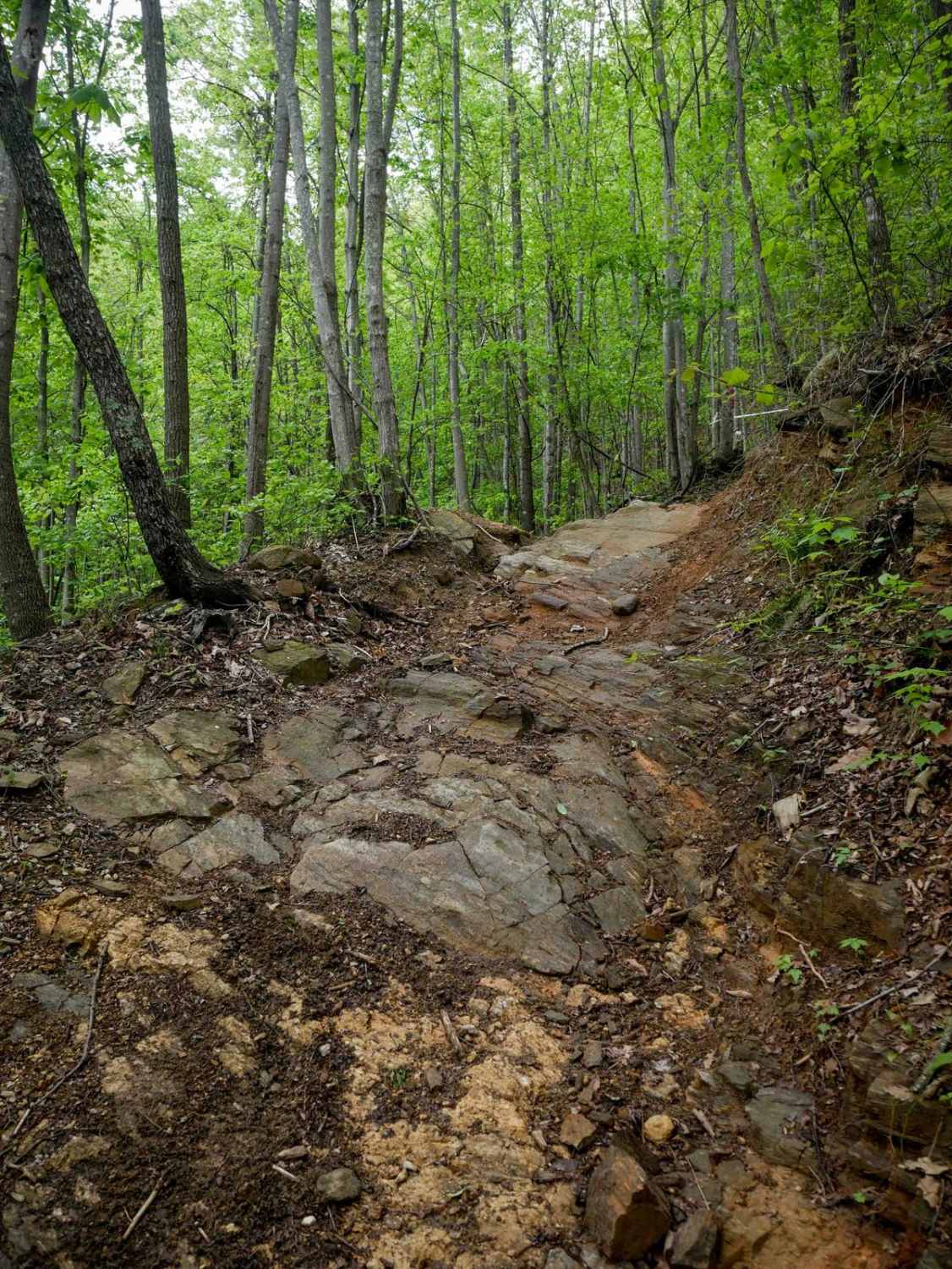
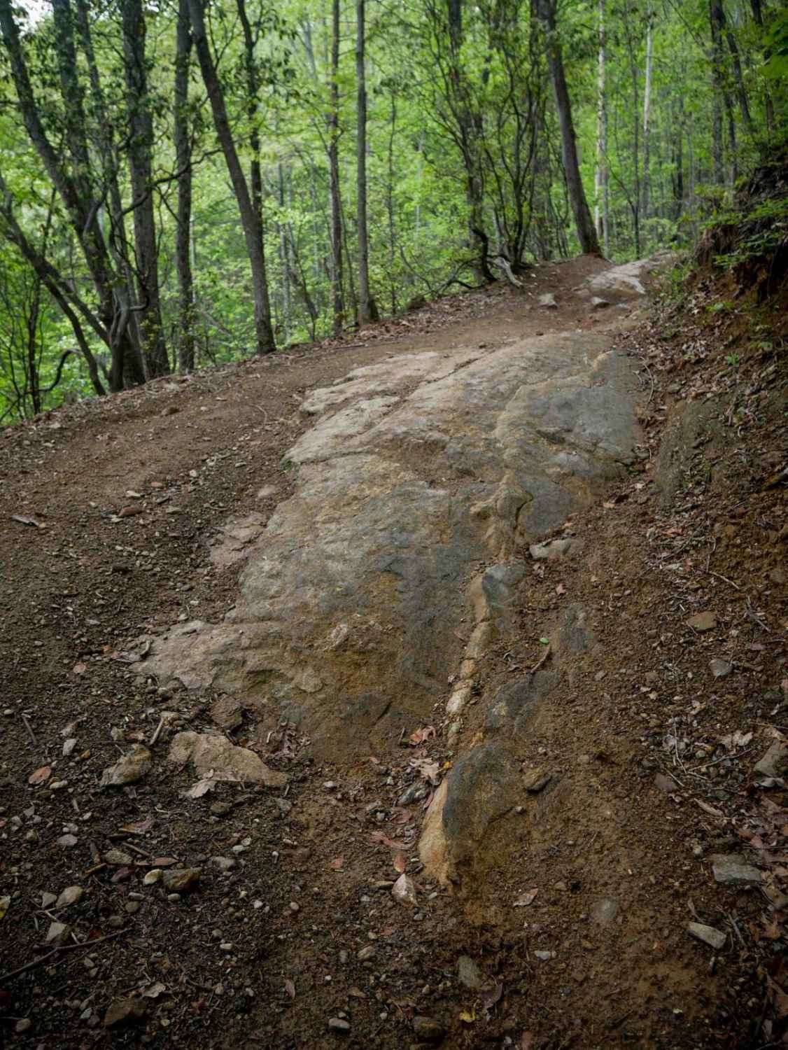
Trail Overview
Tatham Gap Road, also known as Forest Service Road 423, is a 7.1-mile long two-way gravel road that connects Andrews, North Carolina, with Robbinsville, North Carolina. Passing through the Nantahala National Forest, Tatham Gap Road also connects with FS423B, which takes travelers to the Joanna Bald Fire Tower. Seasonal closures are observed between January and April, weather permitting.
Photos of Tatham Gap Road - FS 423
Difficulty
Well-maintained gravel road generally accessible by plated and registered motorcycles, UTVs, passenger cars, and 2wd vehicles. While steep in some areas, weather can change the condition of the road, with washouts and washboards becoming common following heavy rains.
History
This road was originally cut around 1836 by the US Army Corps of Engineers. A fort was established near present-day Robbinsville and Cherokee Native American Indians were temporarily quartered at the fort while en route to Oklahoma.
Status Reports
Tatham Gap Road - FS 423 can be accessed by the following ride types:
- High-Clearance 4x4
- SUV
- SxS (60")
Tatham Gap Road - FS 423 Map
Popular Trails
Chowan Game Lands - Bear Spotter
1C (Part 2)
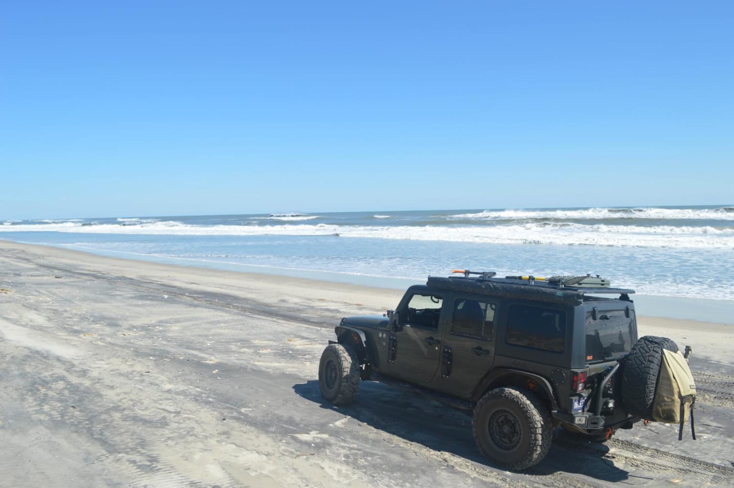
Cape Hatteras Ramp 30 to 32
The onX Offroad Difference
onX Offroad combines trail photos, descriptions, difficulty ratings, width restrictions, seasonality, and more in a user-friendly interface. Available on all devices, with offline access and full compatibility with CarPlay and Android Auto. Discover what you’re missing today!