Nobleboro Track
Total Miles
7.4
Technical Rating
Best Time
Fall
Trail Type
Full-Width Road
Accessible By
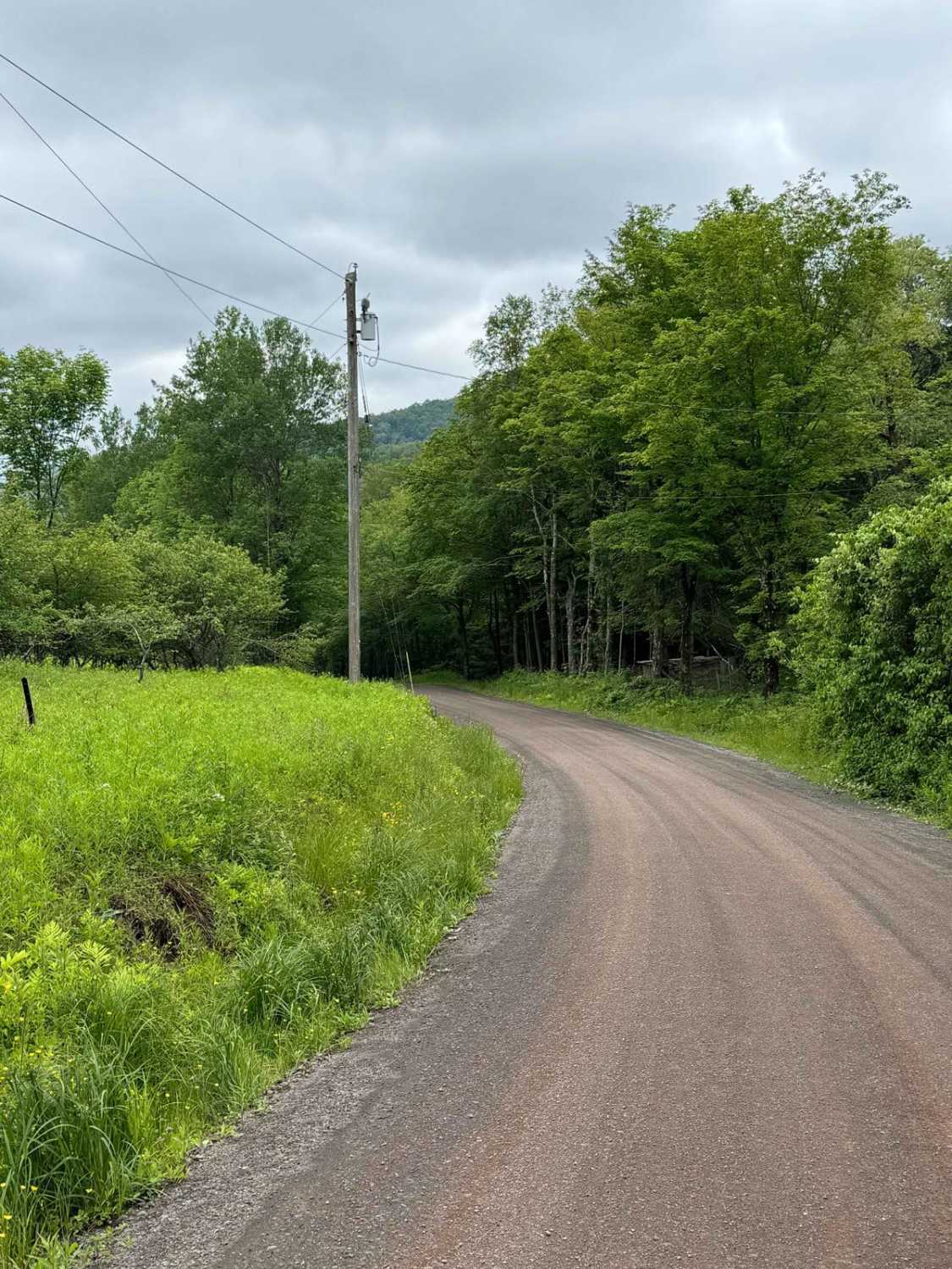
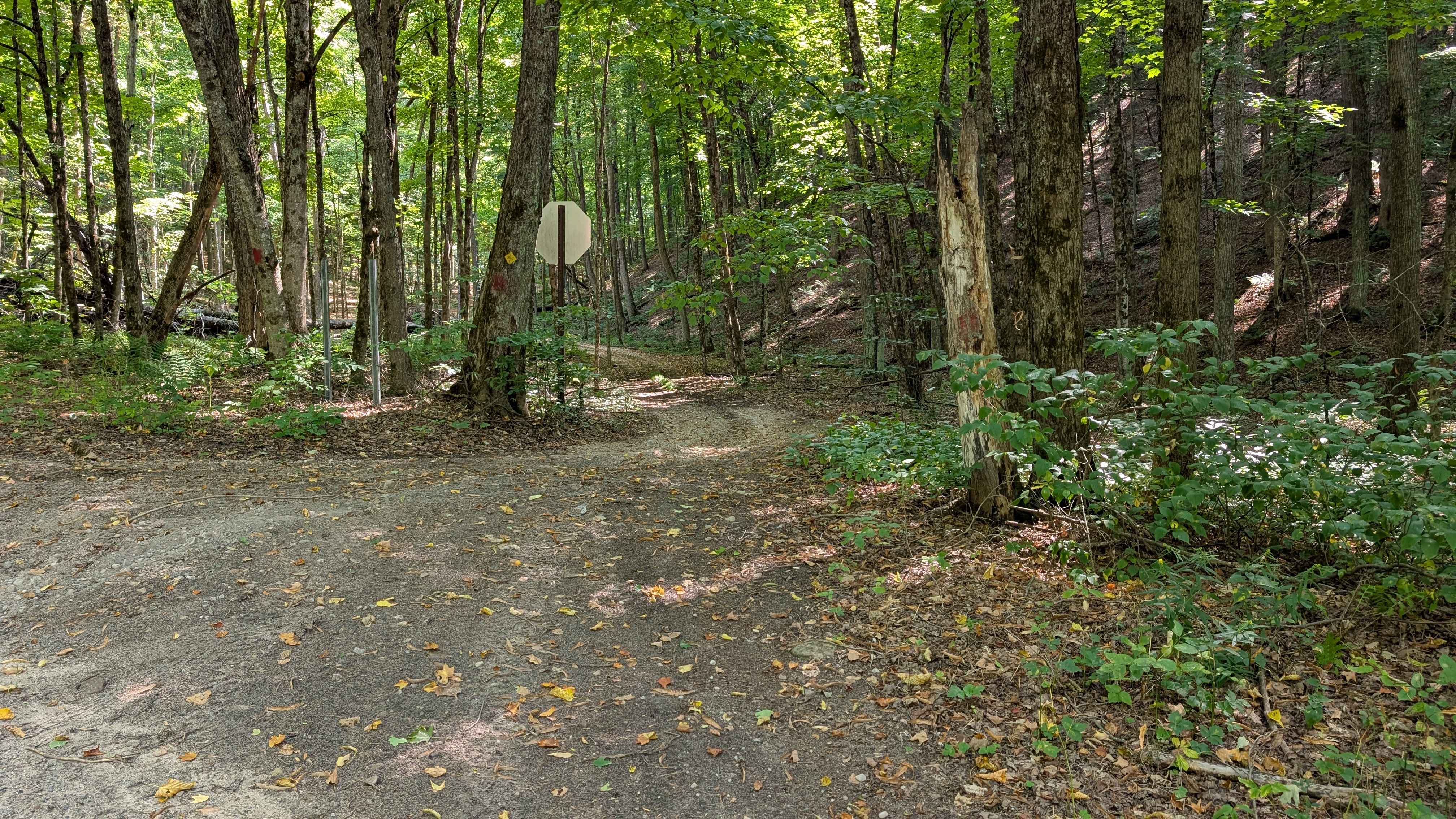
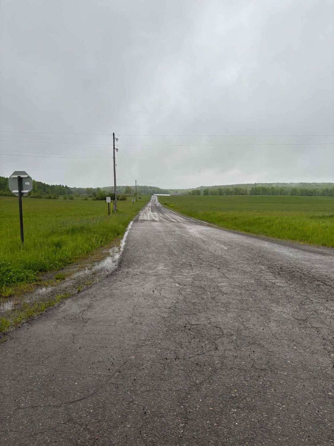
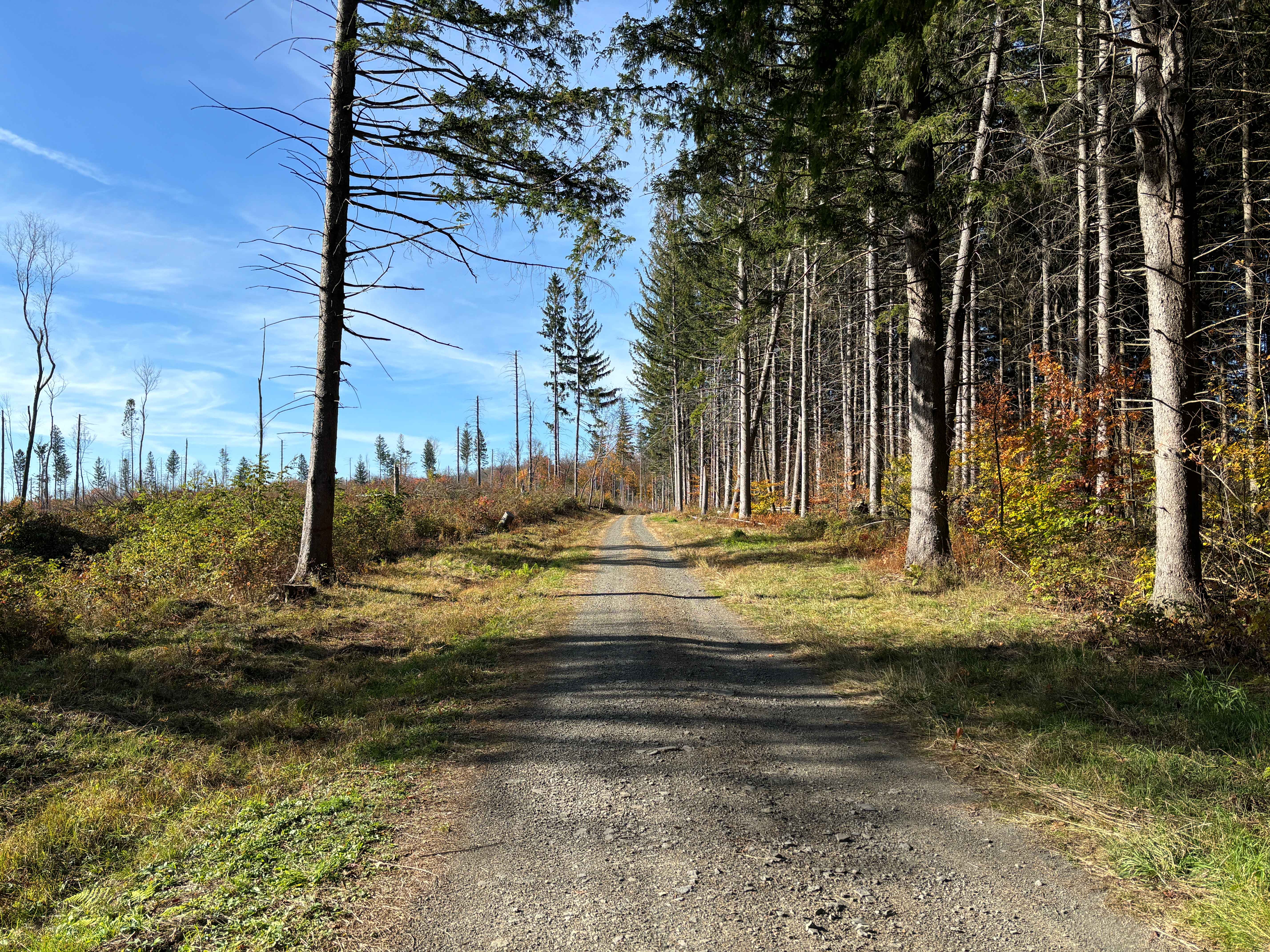
Trail Overview
This route begins at the historic point of Nobleboro, New York, and contains campsites, bridges, steep grades, rocky grades, and mud holes. It is an out-and-back that terminates at a gate for private property. Options to turn around are limited after the wooden bridge over Honnedaga Creek, so my recommendation is to turn around right after the bridge, especially if you are in a full-size truck or SUV. Trail surface starts out as packed gravel, and the further in you get, the rougher the surface becomes. Please note that as of 8/1/2025, NYSDEC was laying down new gravel as referenced in the trail photos. Airing down is strongly recommended right after the bridge crossing over Big Brook. There are a few campsites to the right of the trail with outhouses if needed. Once you climb the hill from that point, the trail becomes a different animal. Be ready to use 4WD low in some situations, especially after a rain event.
Photos of Nobleboro Track


Difficulty
Varying trail conditions depending on the weather. Lots of large loose rocks which can turn very slick after rainfall and many large waterholes which will obviously be larger after rain events and in the spring.
History
This confluence of two large streams, flowing from the deep woods to the north, has been a strategic setting for more than two centuries. Following the American Revolution, Arthur Noble purchased some 80,000 acres here and called it "Nobleborough" a vast wilderness empire for that time in history. West Canada Creek got its name because it was the western boundary of Sir William Johnson's Royal Land Grant, and Kanata, or Canada, is Iroquois for village. Although some development began here, the new Erie Canal (1825) funneled much of the commerce to the south and west, leaving this harsher Adirondack foothill country to the north largely untouched. Some logging occurred here before the Civil War. But by the late 1800's a new call for lumber and paper caused a renewal of activity in the woods of the region. Pulp and paper mills were built at Hinkley, with sawmills and a large de-barking mill sited here at Nobleboro. The vast forests to the north were still in private ownership, and they supplied these industries for decades to come. Each spring, logs and pulpwood were flushed downstream on the wave of snowmelt, and Nobleboro was an important staging area for these log drives. If you walk down to the river's edge, you can still see the foundation logs of the river drive dam that controlled water flow during these times. Log drives in Western Canada continued until 1949. During the past half-century, the land here has healed, nearly hiding the once thriving industrial complex known as Nobleboro, the gateway to the great north woods.
Status Reports
Nobleboro Track can be accessed by the following ride types:
- High-Clearance 4x4
- SUV
Nobleboro Track Map
Popular Trails
Carcass Brook Road
Maxon Creek State Forest
The onX Offroad Difference
onX Offroad combines trail photos, descriptions, difficulty ratings, width restrictions, seasonality, and more in a user-friendly interface. Available on all devices, with offline access and full compatibility with CarPlay and Android Auto. Discover what you’re missing today!