Glenfield and Western Railroad Corridor
Total Miles
11.6
Technical Rating
Best Time
Spring, Fall, Summer
Trail Type
Full-Width Road
Accessible By
Trail Overview
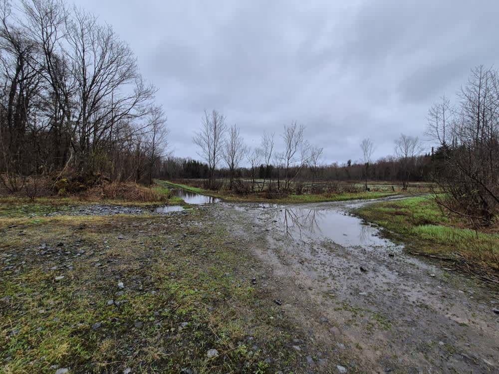
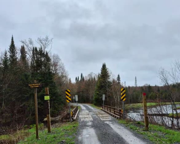
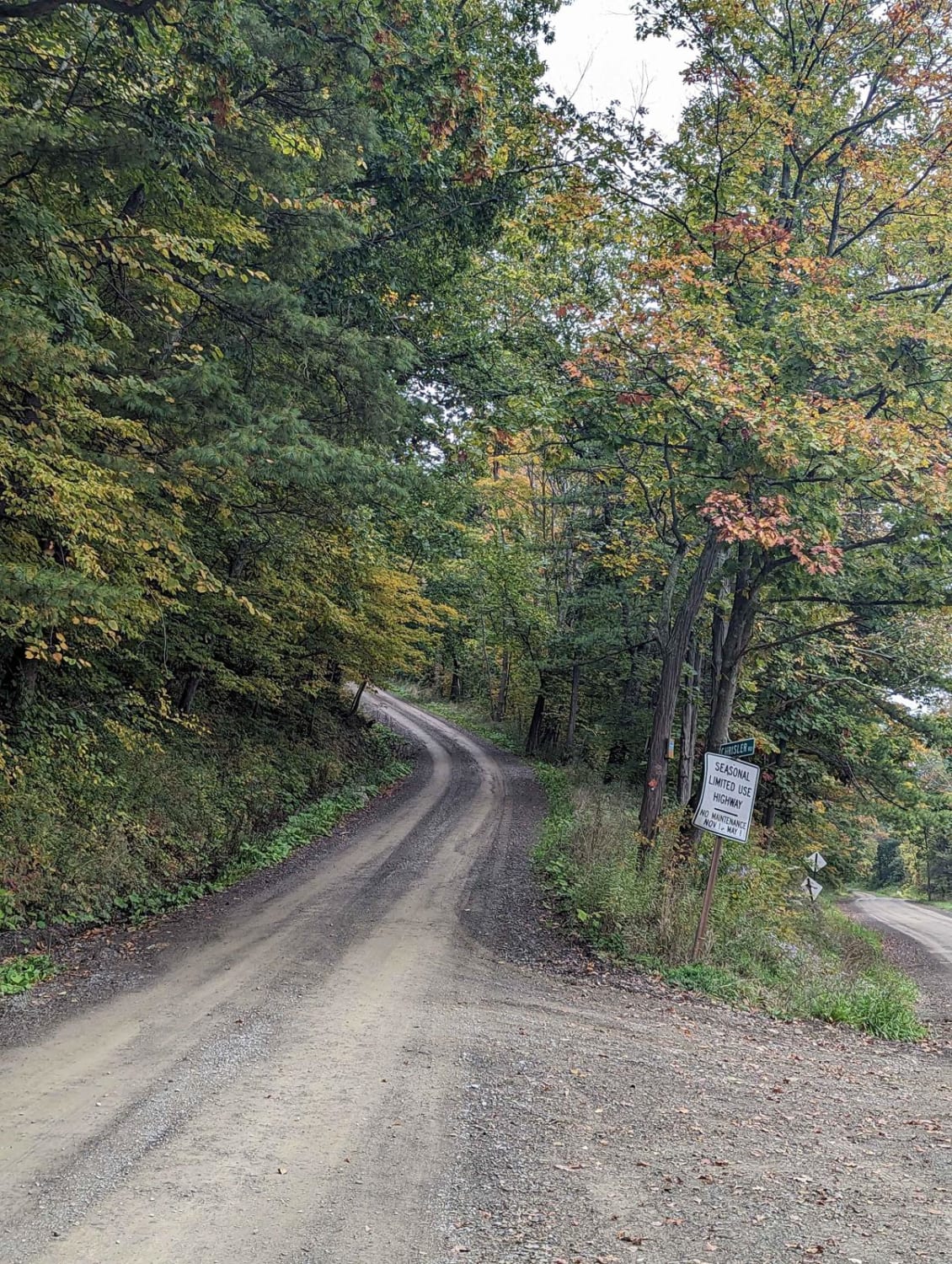
This track follows along the old logging railroad line through the heart of Tughill forest land. Along this route, you will see abundant wildlife, swamps, deep forests, and cold water streams and brooks. The route starts at Tabolt Corners and goes on for roughly 10 miles with varying trail conditions. Starts as gravel and gradually deteriorates to a mostly rock and dirt track with large water holes. This is a snowmobile trail in the winter. ABSOLUTELY NO ATVS OR SXS USE ON THIS CORRIDOR. This area is patrolled aggressively, so stick to the rules. Please pack out what you bring and keep the area as pristine as you found it.
Photos of Glenfield and Western Railroad Corridor
Difficulty
Recommended to air down at the start of the trail for comfort. Trail conditions deteriorate the further you go. Expect large water holes and large loose rocks in the trail.
History
The Glenfield and Western Railroad, a single track, standard gauge road connects with the Utica line of the Rome,. The Watertown and Ogdensburg railroad (operated by the New York Central and Hudson River Railroad Company) at Glenfield extends in a westerly direction to a large timber tract located in the townships of Osceola and Montague, Lewis County, a distance of approximately 13 miles. The line was begun in 1901, and the rails were taken up in 1931.
Status Reports
Glenfield and Western Railroad Corridor can be accessed by the following ride types:
- High-Clearance 4x4
- SUV
Glenfield and Western Railroad Corridor Map
Popular Trails

Runner Road (Seasonal)

Soy Bean Path Blue
St. Lawrence County Pilot Trail
The onX Offroad Difference
onX Offroad combines trail photos, descriptions, difficulty ratings, width restrictions, seasonality, and more in a user-friendly interface. Available on all devices, with offline access and full compatibility with CarPlay and Android Auto. Discover what you’re missing today!