Emerson Road
Total Miles
0.6
Technical Rating
Best Time
Spring, Summer, Fall
Trail Type
Full-Width Road
Accessible By
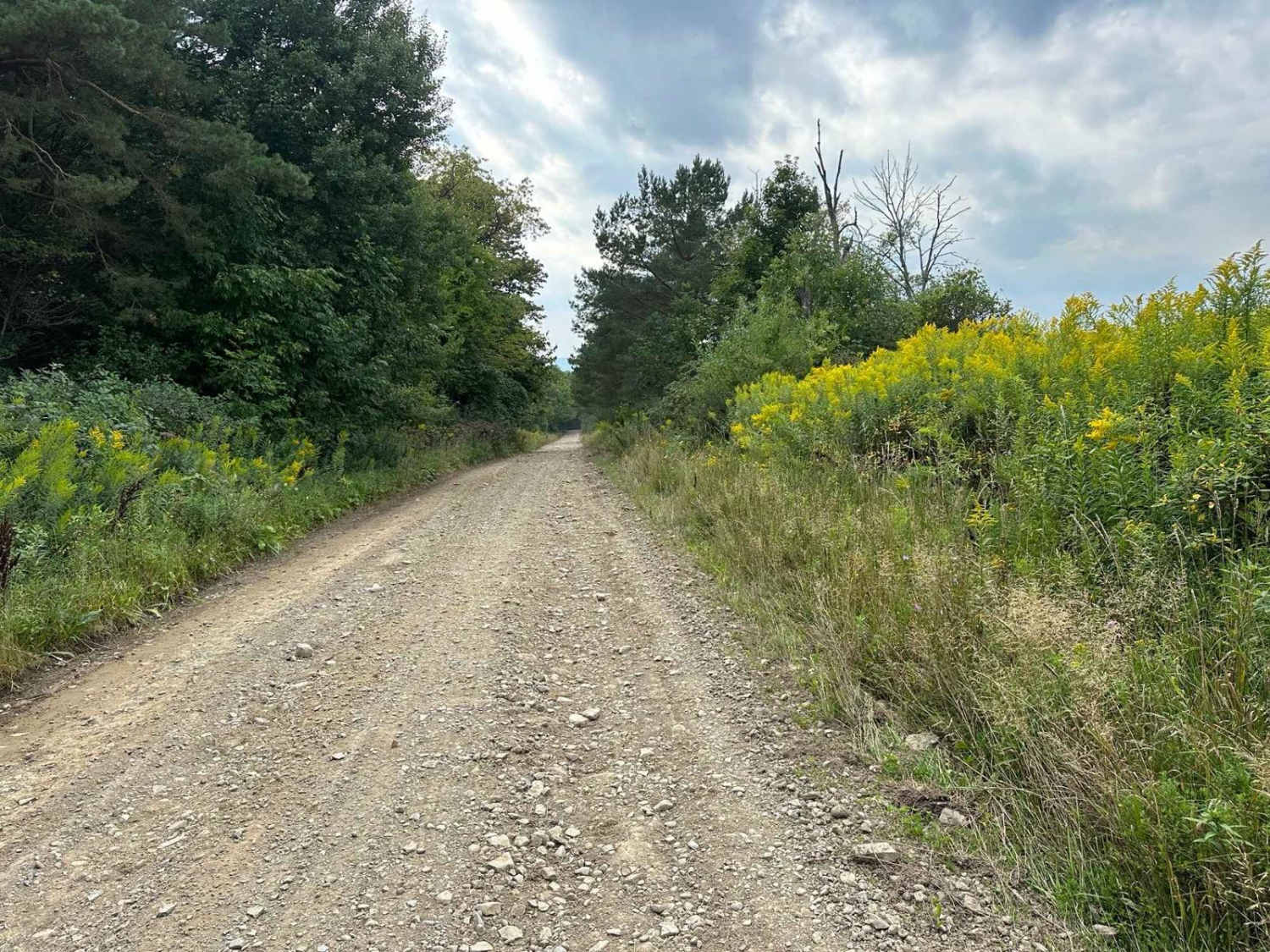
Trail Overview
This section of the road is not maintained during the Winter months. The east end opens to a large farmed field and then travels into a wooded area. The road terminates at Burke Hill Road at about the halfway point. The road is typically in good shape during the warmer seasons and offers a way to access and explore Burke Hill Road.
Photos of Emerson Road

Difficulty
The road is easy and well maintained except in Winter months and travel may be difficult in heavy snowfalls.
Status Reports
Emerson Road can be accessed by the following ride types:
- High-Clearance 4x4
- SUV
- Dirt Bike
Emerson Road Map
Popular Trails

Long Pond Main Haul Road

Soy Bean Path Blue

Fall Brook Easement Road

Bull Hill Road
The onX Offroad Difference
onX Offroad combines trail photos, descriptions, difficulty ratings, width restrictions, seasonality, and more in a user-friendly interface. Available on all devices, with offline access and full compatibility with CarPlay and Android Auto. Discover what you’re missing today!