Deane Hill/Rossiter Road
Total Miles
2.0
Technical Rating
Best Time
Spring, Summer, Fall, Winter
Trail Type
Full-Width Road
Accessible By
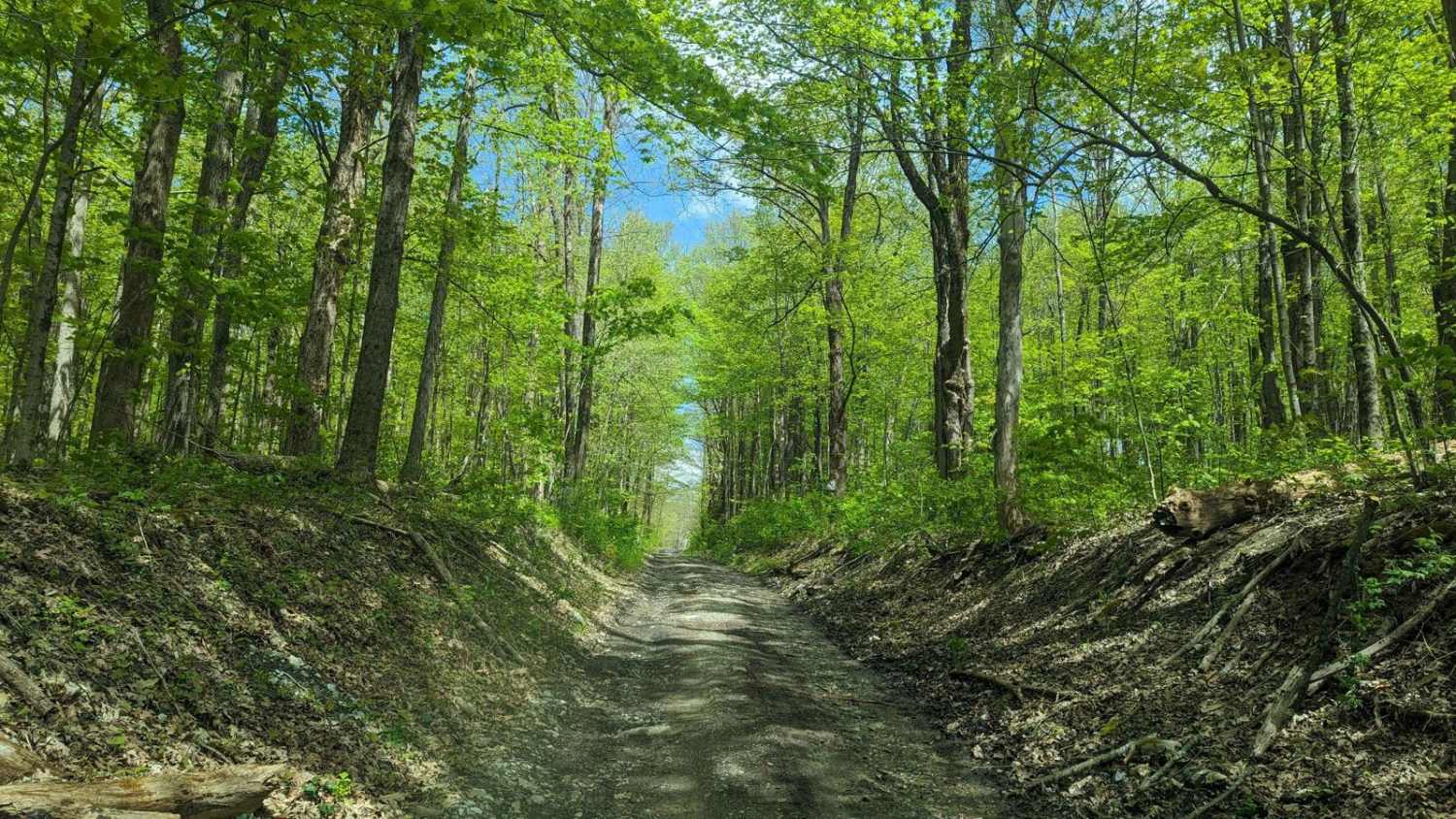
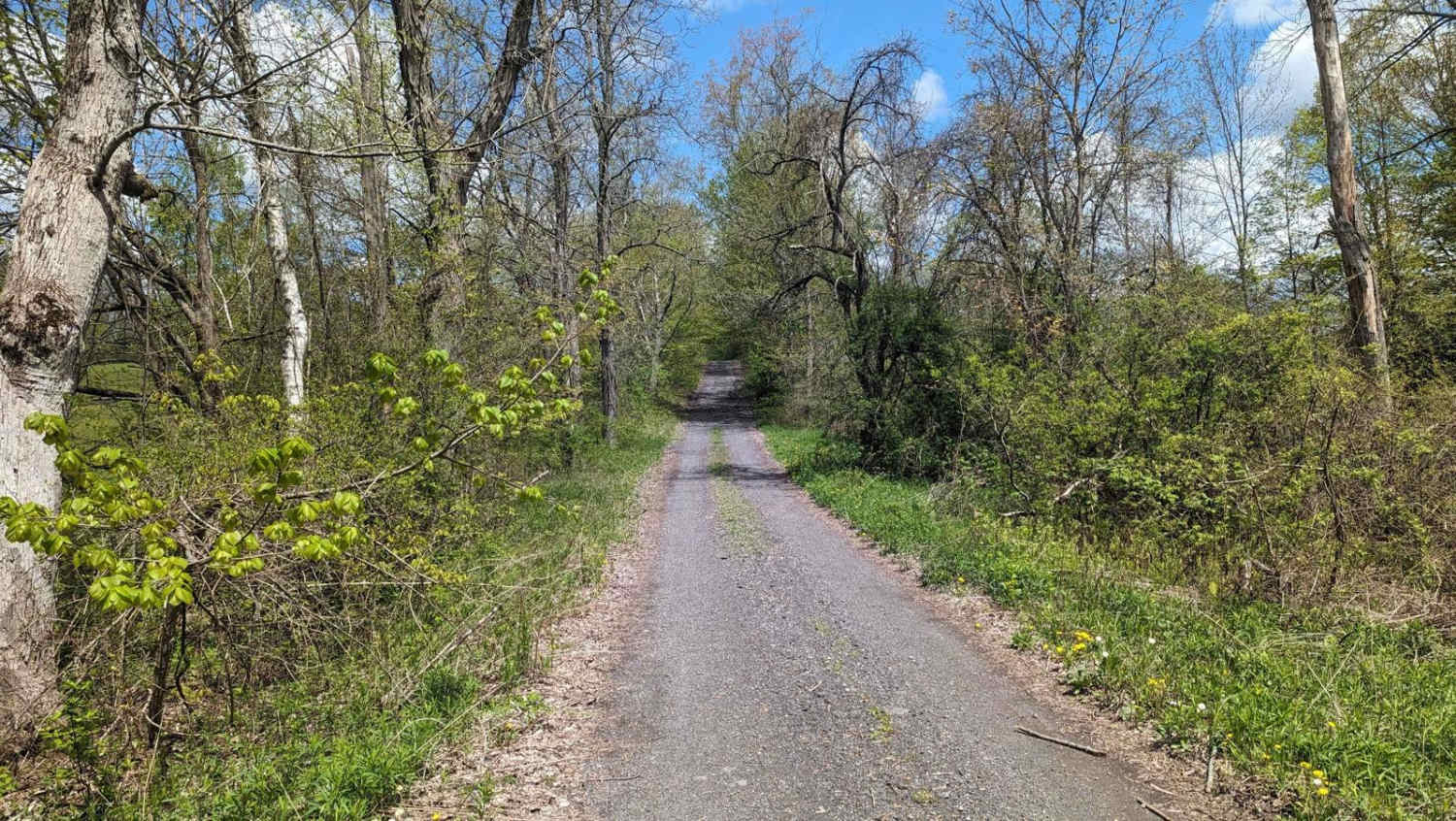
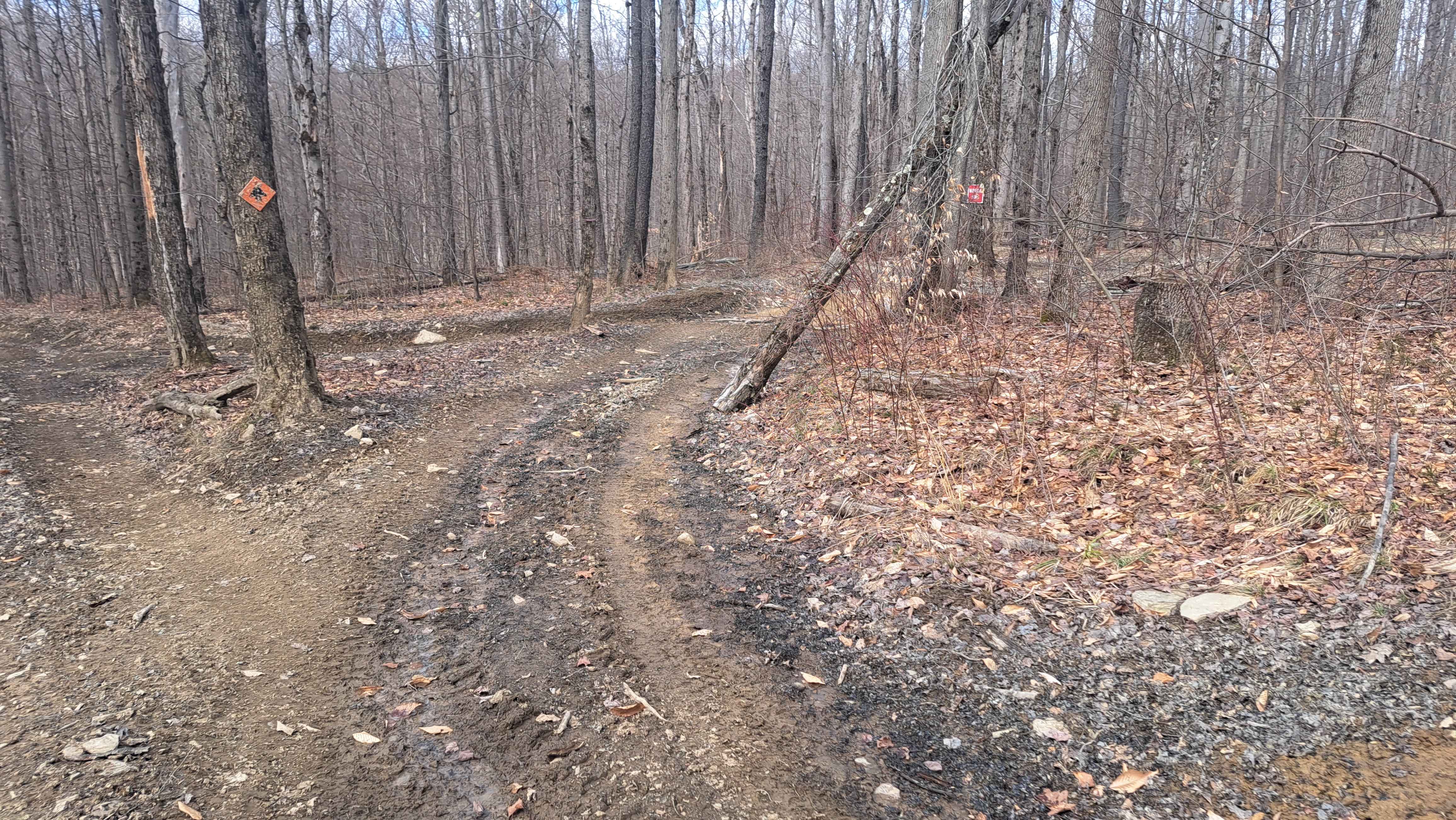
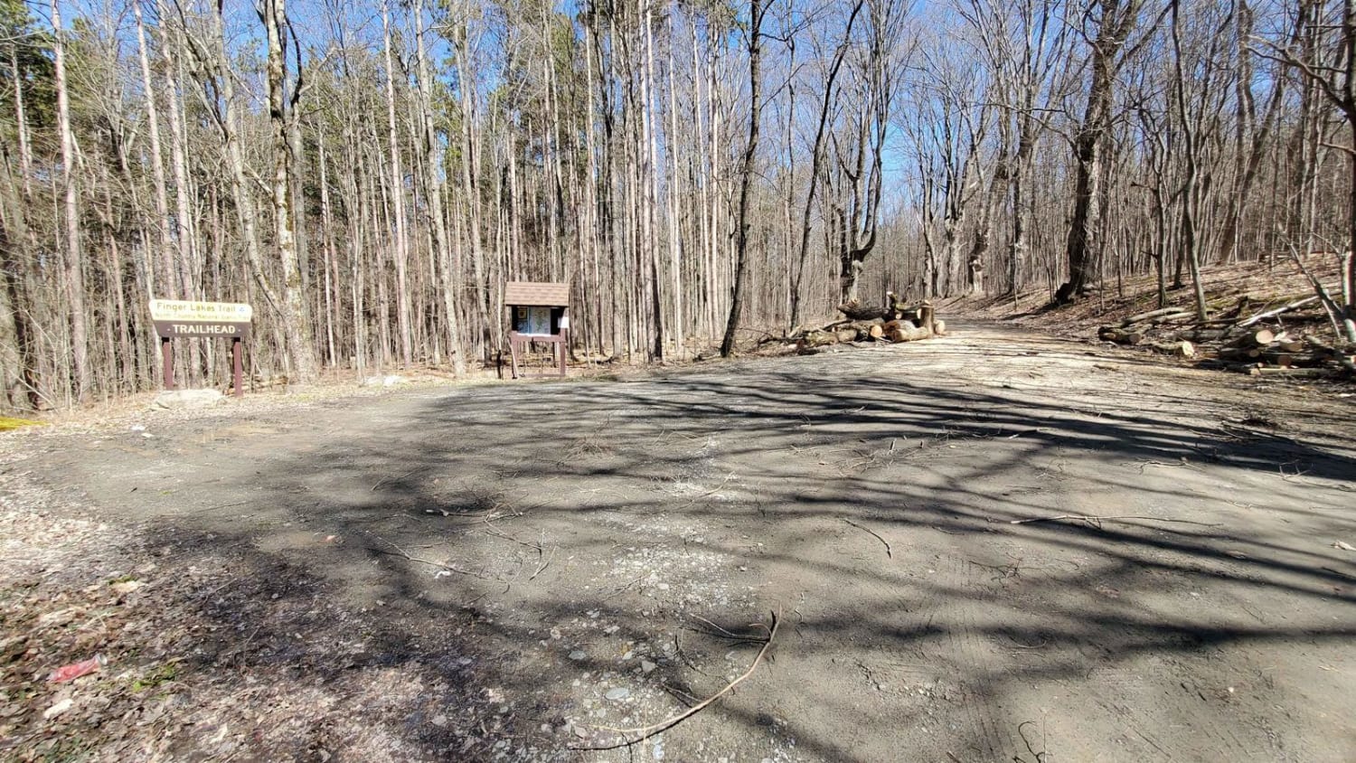
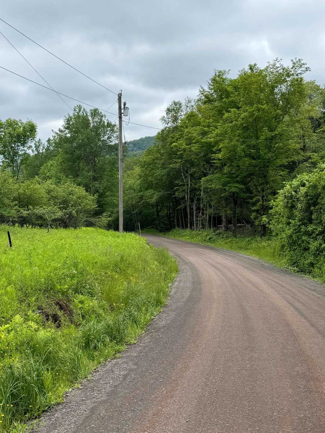
Trail Overview
This is a simple trail composed of a seasonal and an unmaintained road. The track bounces from Massachusetts to New York and back again to Massachusetts. The terrain is rolling and varies from old farm fields to hardwood forests. While easily traveled by any car with moderate clearance, it is a bumpy and sometimes muddy ride.
Photos of Deane Hill/Rossiter Road
Difficulty
This trail is moderately rocky at points and is easily traveled by high-clearance 2WD vehicles. Only portions of this track are two vehicles wide.
Status Reports
Deane Hill/Rossiter Road can be accessed by the following ride types:
- High-Clearance 4x4
- SUV
Deane Hill/Rossiter Road Map
Popular Trails

Cleveland Lake Road
Burnt Hill Road
Carcass Brook Road
The onX Offroad Difference
onX Offroad combines trail photos, descriptions, difficulty ratings, width restrictions, seasonality, and more in a user-friendly interface. Available on all devices, with offline access and full compatibility with CarPlay and Android Auto. Discover what you’re missing today!