Carter Creek Road
Total Miles
2.1
Technical Rating
Best Time
Spring, Summer, Fall
Trail Type
Full-Width Road
Accessible By
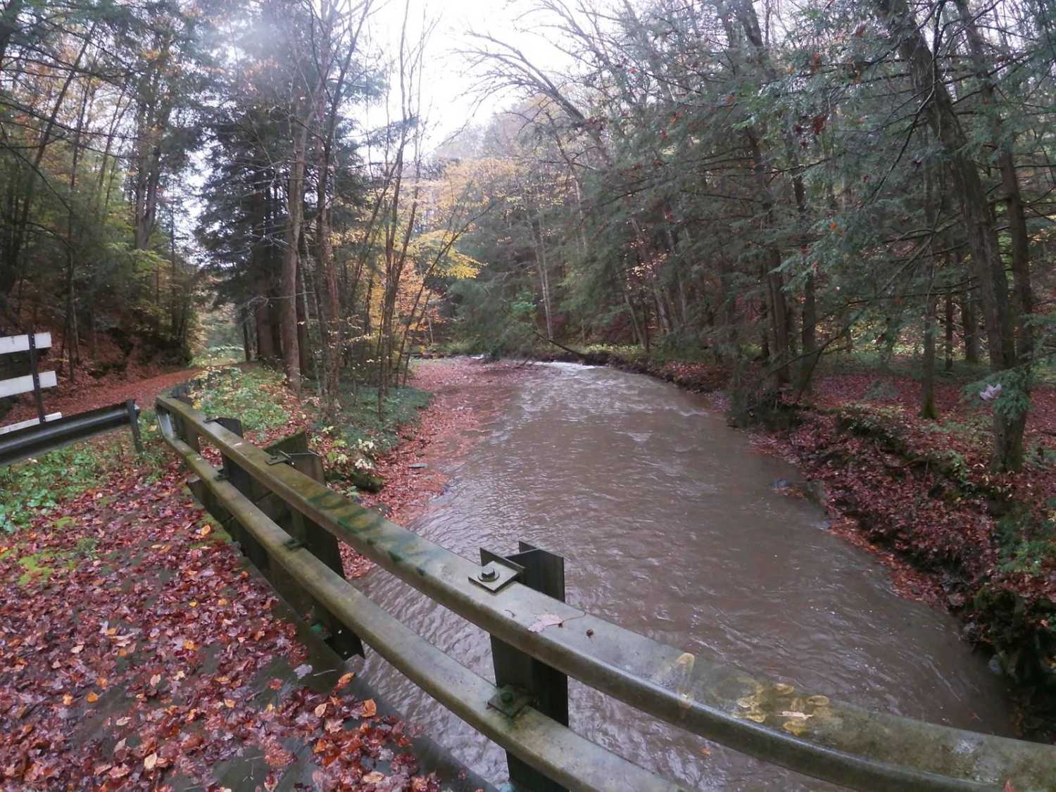
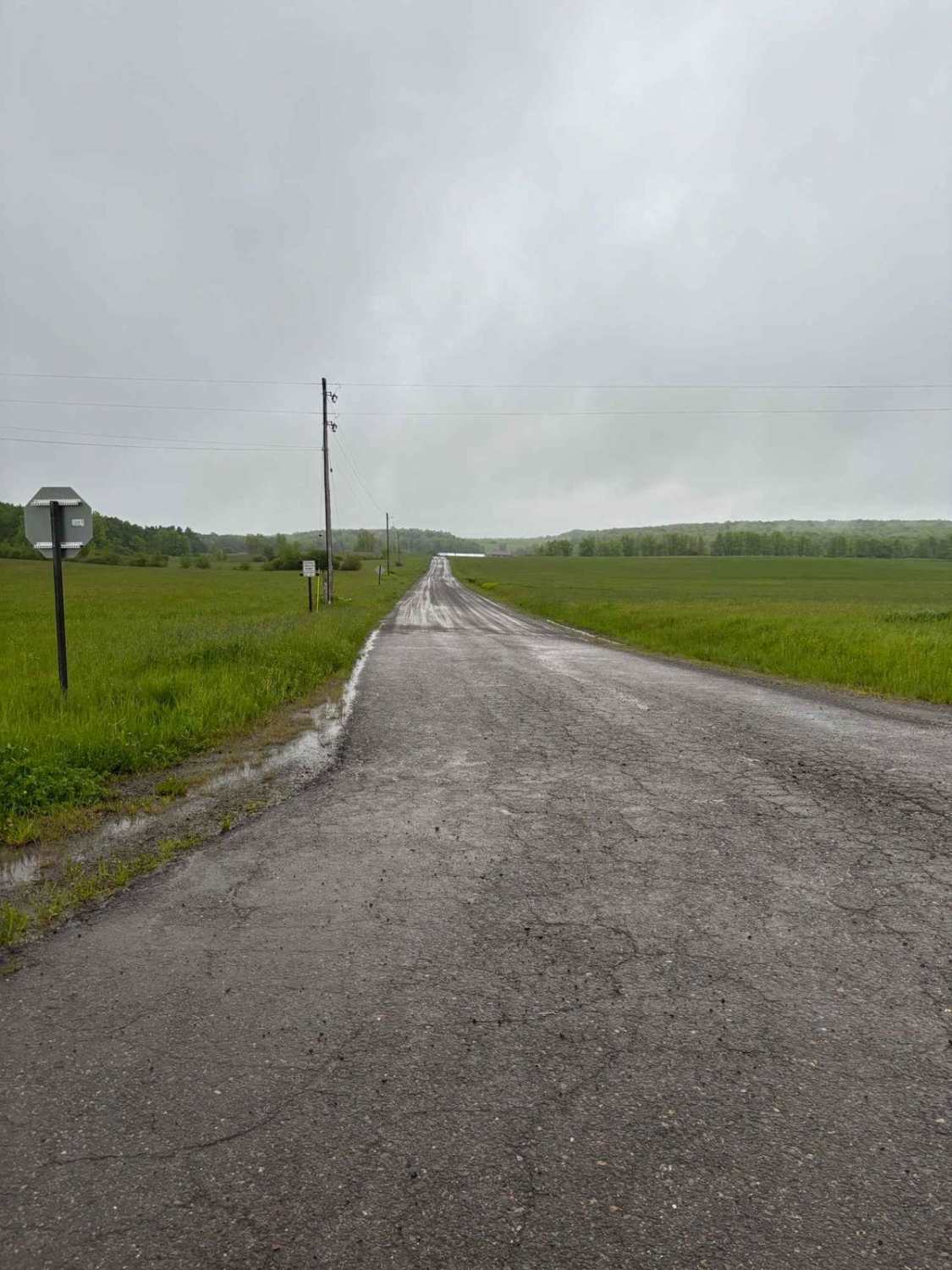
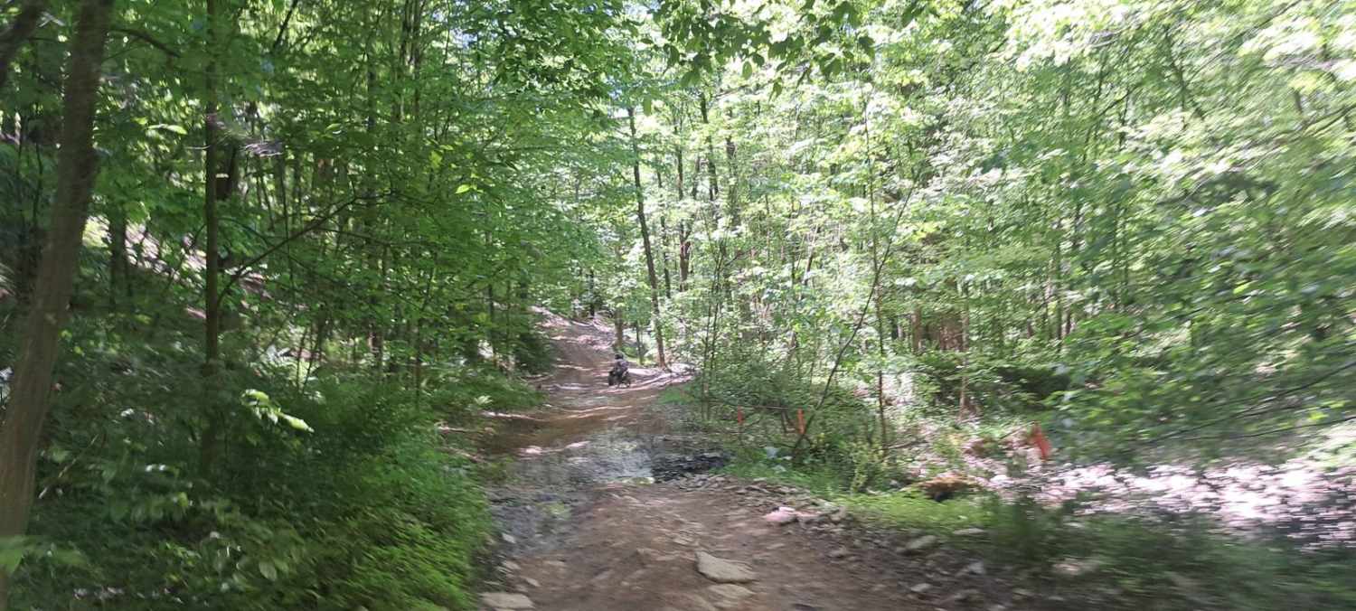
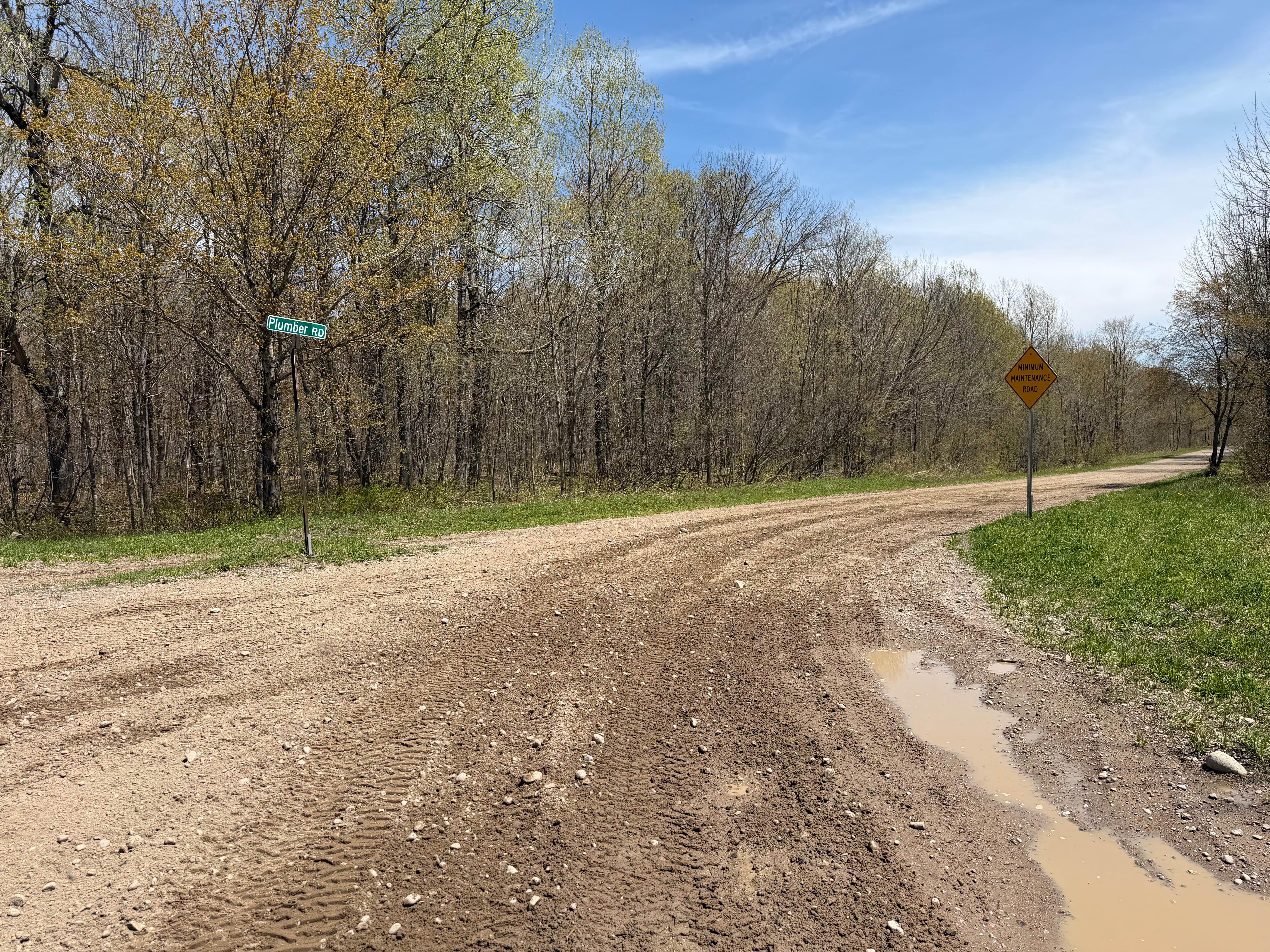
Trail Overview
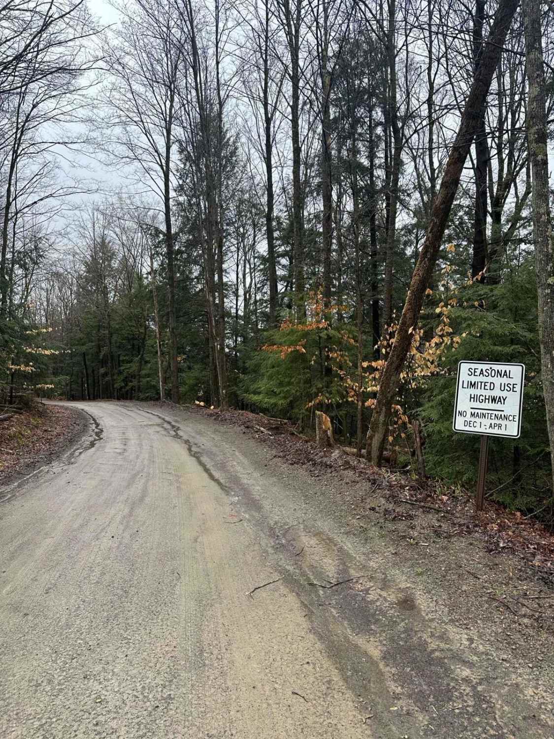
Carter Creek Road provides eastern access to the Connecticut Hill Wildlife Management Area. It used to run south along the creek meeting Route 13. The bridge crossing 1 mile north of Route 13 is closed to vehicles. If entering from the north, turn at Cabin or Hulford Roads for continued access to Connecticut Hill.
Photos of Carter Creek Road

Difficulty
Mild washouts and wet areas are possible.
Status Reports
Carter Creek Road can be accessed by the following ride types:
- High-Clearance 4x4
- SUV
Carter Creek Road Map
Popular Trails
Ricewoods Road
The onX Offroad Difference
onX Offroad combines trail photos, descriptions, difficulty ratings, width restrictions, seasonality, and more in a user-friendly interface. Available on all devices, with offline access and full compatibility with CarPlay and Android Auto. Discover what you’re missing today!