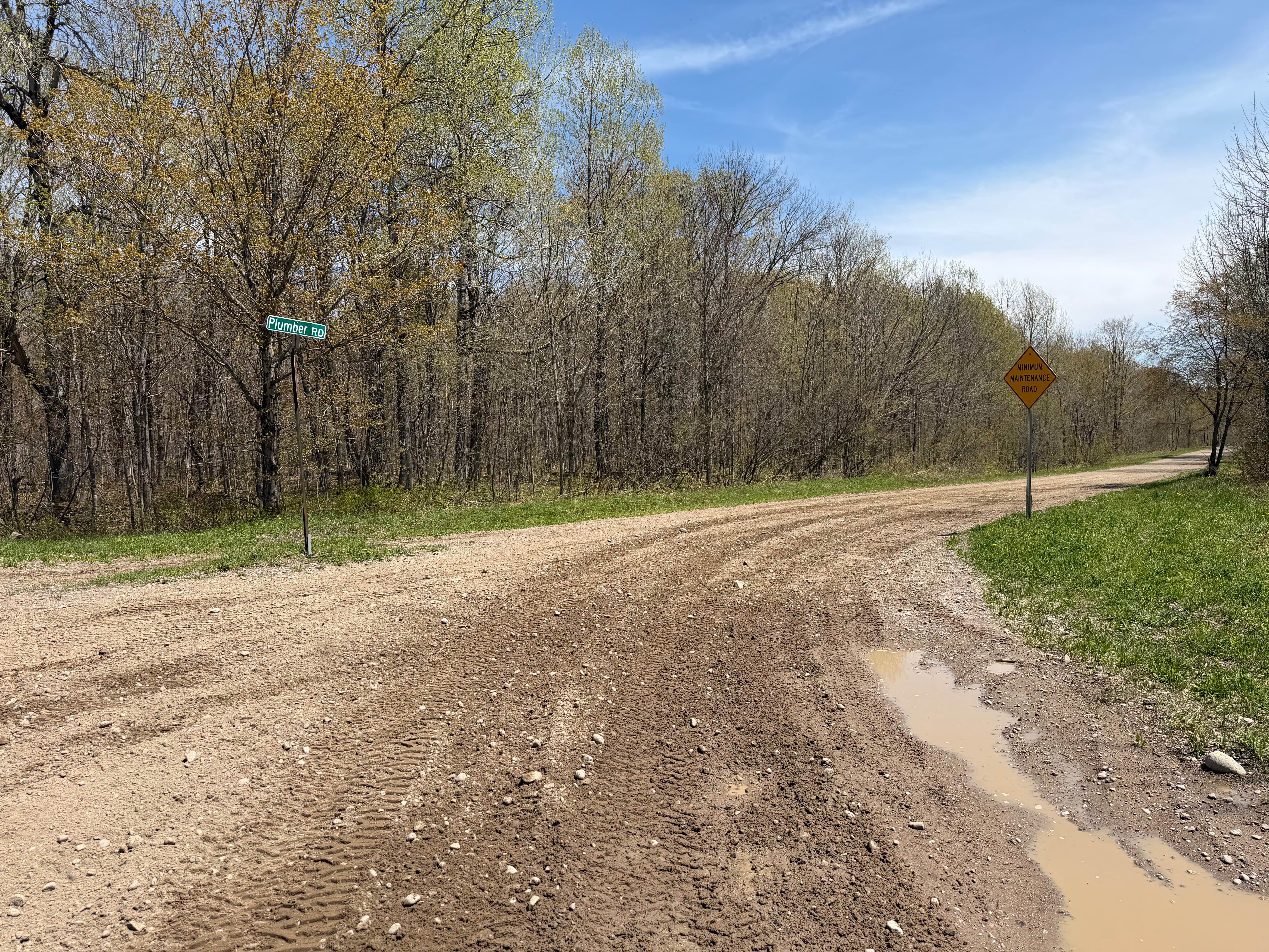
Plumber Road
Total Miles
3.5
Technical Rating
Best Time
Spring, Summer, Fall
Trail Type
Full-Width Road
Accessible By
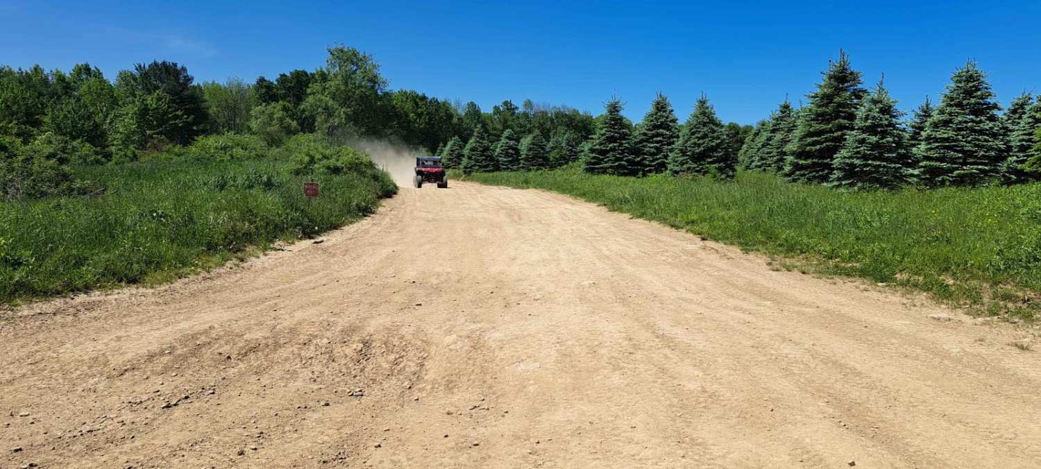
Trail Overview
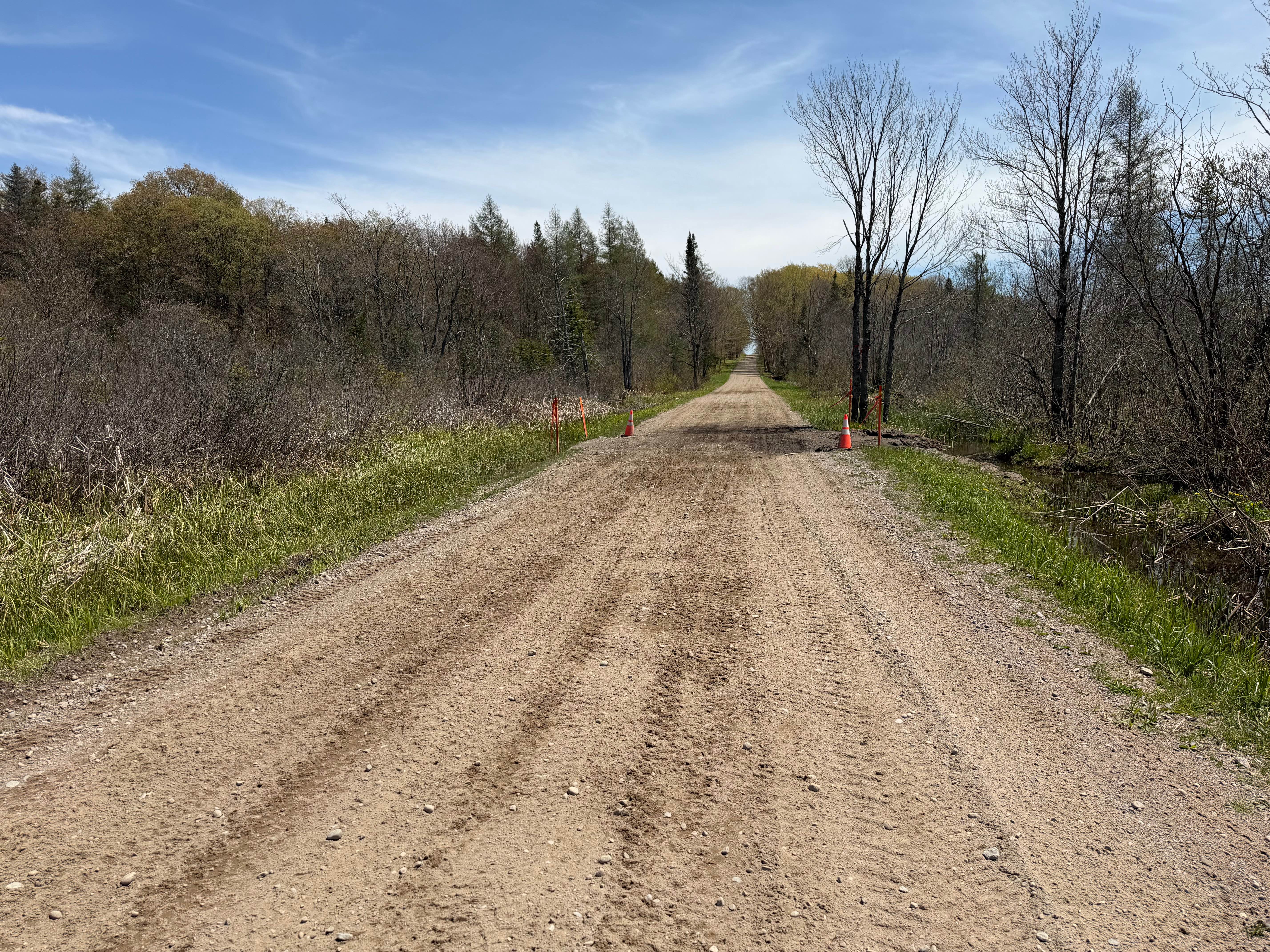
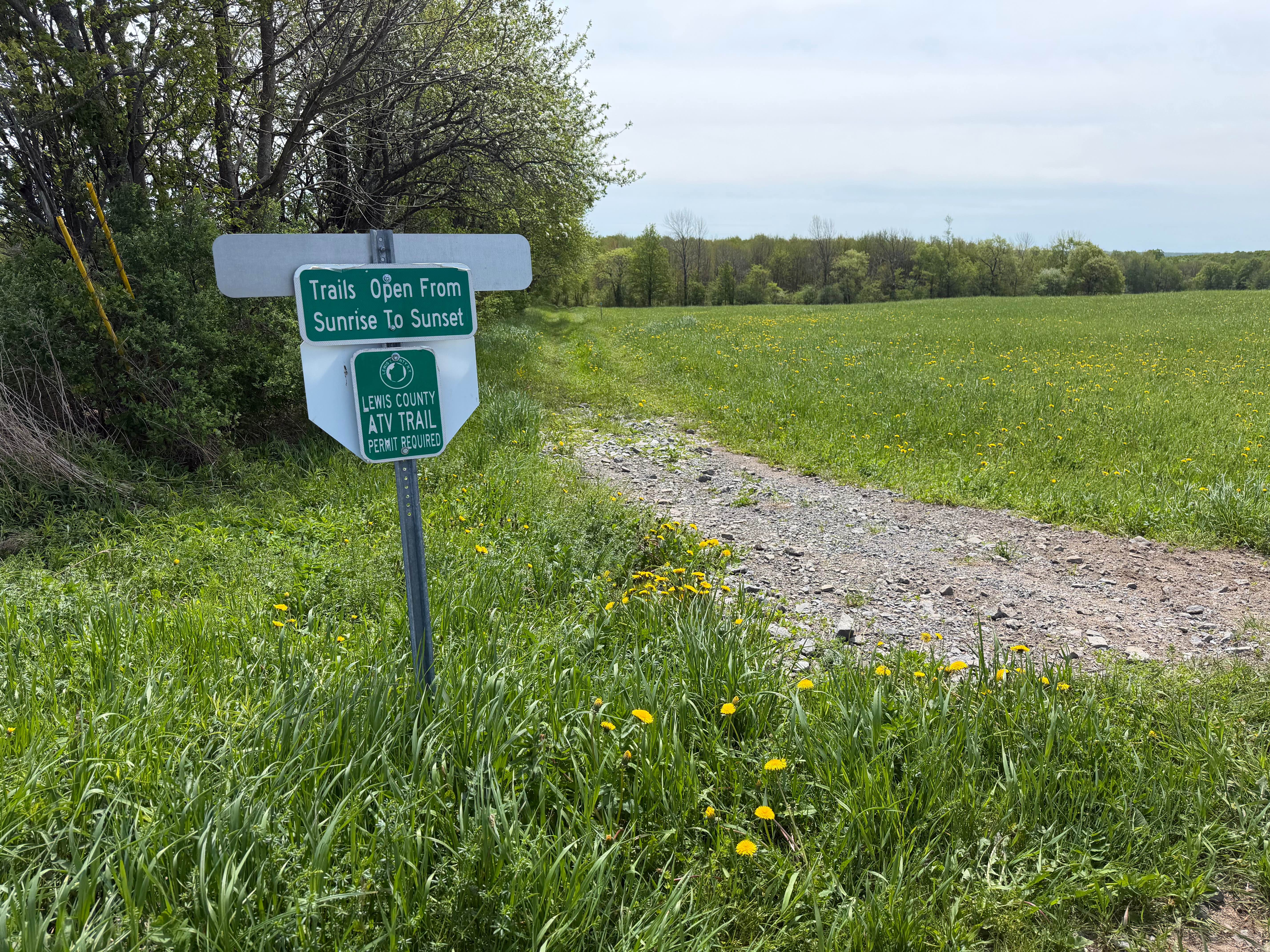
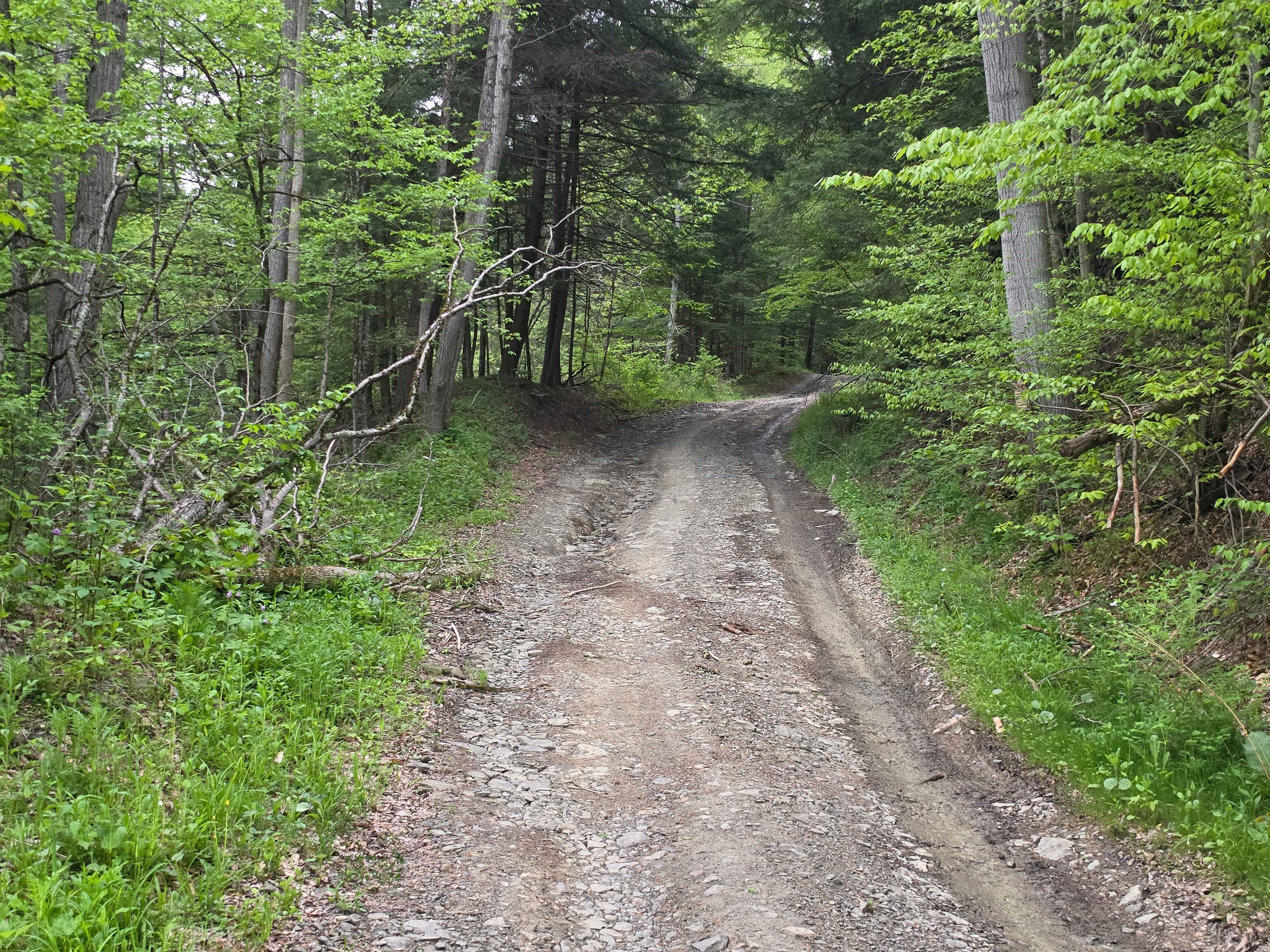
This route travels through the Lesser Wilderness State Forest, featuring long straightaways, rolling hills, and light curves. The trail primarily consists of maintained gravel and dirt roads with sections of loose rock, shallow mud, and soft shoulders depending on recent weather conditions. Several low-lying areas may hold standing water during the spring thaw or after periods of heavy rain.
Photos of Plumber Road
Difficulty
A maintained seasonal route traveling through remote state forest terrain featuring long straightaways, wooded sections, rolling hills, and wetland crossings. The route primarily consists of hard-packed dirt and gravel with occasional loose stone, shallow mud, potholes, washouts, and soft shoulders that may become more pronounced depending on recent weather conditions.
Status Reports
Plumber Road can be accessed by the following ride types:
- High-Clearance 4x4
- SUV
- SxS (60")
- ATV (50")
- Dirt Bike
Plumber Road Map
Popular Trails
Grower Green Trail West
Steve Russell Hill Road

Burnt- Rossman Hill Road
Soy Bean Path
The onX Offroad Difference
onX Offroad combines trail photos, descriptions, difficulty ratings, width restrictions, seasonality, and more in a user-friendly interface. Available on all devices, with offline access and full compatibility with CarPlay and Android Auto. Discover what you’re missing today!